Revolutionizing Agriculture: How Precision Farming with Satellite Remote Sensing and GIS Boosts Crop Health and Farm Productivity
In today’s rapidly evolving agricultural landscape, we at Farmonaut are at the forefront of a technological revolution that is transforming the way we approach farming. By harnessing the power of satellite remote sensing, Geographic Information Systems (GIS), and precision agriculture techniques, we are empowering farmers to make data-driven decisions that significantly enhance crop health, boost farm productivity, and promote sustainable farming practices.
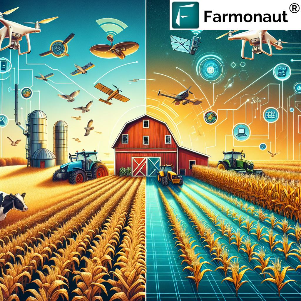
The Evolution of Agriculture: From Traditional to Smart Farming
Agriculture has come a long way from its traditional roots. As we face global challenges such as climate change, population growth, and resource scarcity, the need for innovative agricultural technologies has never been more pressing. This is where precision agriculture, powered by remote sensing and GIS, comes into play.
Let’s take a closer look at how precision farming with Farmonaut compares to traditional farming methods:
| Aspect | Traditional Farming | Precision Farming with Farmonaut |
|---|---|---|
| Crop Monitoring | Manual field inspections, time-consuming and labor-intensive | Real-time satellite imagery and AI-powered analysis for continuous crop health assessment |
| Soil Analysis | Periodic soil testing, often limited in scope and frequency | Advanced soil moisture and nutrient analysis using multispectral satellite data |
| Irrigation Management | Scheduled watering based on general guidelines or farmer intuition | Precision irrigation recommendations based on real-time soil moisture data and crop water stress indices |
| Pest Control | Reactive approach, often leading to overuse of pesticides | Early pest detection through satellite imagery and AI, enabling targeted and timely interventions |
| Yield Prediction | Rough estimates based on historical data and visual assessments | Accurate yield forecasts using machine learning models and comprehensive farm data analysis |
As we can see, precision farming with Farmonaut offers significant advantages over traditional methods across various aspects of agricultural management.
The Power of Satellite Remote Sensing in Agriculture
At the heart of our precision agriculture approach lies satellite remote sensing technology. This powerful tool allows us to gather crucial data about crops and farmland without the need for on-site visits. Here’s how satellite remote sensing is revolutionizing agriculture:
- Wide-area Coverage: Satellites can monitor vast agricultural areas quickly and efficiently, providing a comprehensive view of entire regions.
- Frequent Updates: Regular satellite passes allow for continuous monitoring, enabling farmers to track changes in crop health and soil conditions over time.
- Multispectral Imaging: By capturing data across various spectral bands, satellites can reveal information about crop health, water stress, and nutrient deficiencies that are invisible to the naked eye.
- Weather-independent: Unlike aerial or ground-based sensing methods, satellite remote sensing can operate regardless of local weather conditions, ensuring consistent data collection.
Our advanced satellite-based crop health monitoring system at Farmonaut leverages these capabilities to provide farmers with invaluable insights into their fields. By analyzing multispectral satellite images, we can detect early signs of crop stress, identify areas of poor growth, and even predict potential yield variations across a field.
GIS: The Backbone of Precision Agriculture
Geographic Information Systems (GIS) play a crucial role in transforming raw satellite data into actionable insights for farmers. At Farmonaut, we use GIS to:
- Create detailed, layered maps of agricultural lands
- Analyze spatial patterns in crop health, soil moisture, and other key variables
- Integrate various data sources, including satellite imagery, weather data, and soil samples
- Generate precise recommendations for targeted interventions
By combining GIS with remote sensing data, we enable farmers to practice site-specific crop management, optimizing resource use and maximizing yields across their fields.
Precision Agriculture: A Data-Driven Approach to Farming
Precision agriculture is all about making informed decisions based on accurate, timely data. At Farmonaut, we’ve developed a comprehensive suite of tools that leverage satellite remote sensing and GIS to support various aspects of precision farming:
1. Crop Health Monitoring
Our satellite-based crop health monitoring system provides farmers with regular updates on the status of their crops. By analyzing vegetation indices such as NDVI (Normalized Difference Vegetation Index), we can detect subtle changes in crop vigor, allowing for early intervention in case of issues.
2. Soil Analysis and Management
Understanding soil conditions is crucial for optimizing crop growth. Our platform offers detailed soil moisture maps and helps identify areas with potential nutrient deficiencies. This information enables farmers to implement targeted fertilizer management strategies, reducing waste and improving crop nutrition.
3. Irrigation Optimization
Water is a precious resource in agriculture. Our precision irrigation recommendations, based on satellite-derived soil moisture data and crop water stress indices, help farmers apply the right amount of water at the right time, conserving resources and promoting healthy crop growth.
4. Pest and Disease Control
Early detection is key to effective pest control. By analyzing patterns in satellite imagery, we can identify potential pest hotspots or areas susceptible to disease outbreaks. This allows for targeted pest control measures, reducing the need for broad-spectrum pesticide applications.
5. Yield Prediction and Harvest Optimization
Our advanced analytics combine historical data, current crop health information, and weather forecasts to provide accurate yield predictions. This helps farmers plan their harvest operations more effectively and make informed decisions about crop marketing and storage.
The Benefits of Precision Farming with Farmonaut
Implementing precision agriculture techniques through our platform offers numerous benefits to farmers and the agricultural sector as a whole:
- Increased Farm Productivity: By optimizing resource use and addressing issues promptly, farmers can significantly boost their yields and overall farm productivity.
- Cost Reduction: Targeted application of inputs such as water, fertilizers, and pesticides leads to reduced waste and lower operational costs.
- Environmental Sustainability: Precision farming promotes sustainable agriculture by minimizing the environmental impact of farming activities through efficient resource management.
- Improved Decision-Making: Access to real-time, data-driven insights enables farmers to make more informed decisions about their crops and farm management strategies.
- Risk Mitigation: Early detection of crop health issues and accurate yield predictions help farmers better manage risks associated with weather variability and market fluctuations.
Farmonaut’s Innovative Solutions for Smart Agriculture
At Farmonaut, we’re committed to making precision agriculture accessible to farmers of all scales. Our platform offers a range of innovative solutions designed to address the diverse needs of modern agriculture:
1. Satellite-Based Crop Health Monitoring
Our advanced satellite imagery analysis provides regular updates on crop health, allowing farmers to track the progress of their fields throughout the growing season. This service is available through our user-friendly web and mobile applications, making it easy for farmers to access critical information on the go.
Learn more about our crop monitoring solutions: Farmonaut Crop Monitoring
2. Jeevn AI Advisory System
Our AI-powered farm advisory tool, Jeevn, combines satellite data with machine learning algorithms to provide personalized recommendations for crop management. From planting dates to pest control strategies, Jeevn helps farmers optimize their operations based on real-time data and expert knowledge.
3. Weather Monitoring and Forecasting
Accurate weather information is crucial for effective farm planning. Our platform integrates high-resolution weather data and forecasts, helping farmers make informed decisions about planting, irrigation, and harvest timing.
Access our weather API for developers: Farmonaut Weather API
4. Farm Management Tools
Our comprehensive farm management suite includes tools for record-keeping, task scheduling, and resource tracking. These features help farmers streamline their operations and improve overall farm efficiency.
5. Blockchain-Based Traceability
For agribusinesses and food companies, we offer blockchain-powered traceability solutions that ensure transparency and authenticity throughout the supply chain. This technology builds trust with consumers and supports sustainable farming practices.
Implementing Precision Agriculture with Farmonaut
Adopting precision agriculture techniques with Farmonaut is straightforward and can be done in a few simple steps:
- Sign Up: Create an account on our platform and select the services that best fit your farming needs.
- Field Mapping: Use our intuitive tools to map your fields and define areas of interest for monitoring.
- Data Integration: Connect any existing farm management systems or sensors to our platform for comprehensive data analysis.
- Regular Monitoring: Access satellite-derived insights and AI-powered recommendations through our web or mobile apps.
- Implement and Optimize: Apply the insights and recommendations to your farming practices, continuously refining your approach based on the results.
Get started with Farmonaut today:
The Future of Agriculture: Smart, Sustainable, and Data-Driven
As we look to the future, the role of precision agriculture in ensuring global food security and sustainable farming practices becomes increasingly important. At Farmonaut, we’re continually innovating to stay ahead of the curve and provide farmers with the most advanced tools for smart agriculture.
Some of the exciting developments we’re working on include:
- Integration of drone technology for even higher-resolution field mapping and crop analysis
- Advanced machine learning models for more accurate yield prediction and pest detection
- Enhanced IoT integration to incorporate data from on-field sensors and smart farming equipment
- Expansion of our blockchain-based traceability solutions to support sustainable and ethical farming practices
By embracing these technologies and continuing to refine our precision agriculture solutions, we’re helping to shape a future where farming is more productive, sustainable, and resilient in the face of global challenges.
Frequently Asked Questions (FAQ)
Q1: What is precision agriculture?
A1: Precision agriculture is a farming management concept that uses technology such as satellite remote sensing, GIS, and data analytics to optimize crop yields and reduce resource waste. It involves collecting and analyzing data about variability in fields to make more informed and efficient farming decisions.
Q2: How does satellite remote sensing work in agriculture?
A2: Satellite remote sensing in agriculture uses specialized satellites to capture multispectral images of farmland. These images are analyzed to provide information about crop health, soil moisture, and other key factors. The data is then processed using advanced algorithms to generate actionable insights for farmers.
Q3: What are the main benefits of using Farmonaut for precision farming?
A3: The main benefits include increased crop yields, reduced input costs, improved farm productivity, better resource management, early detection of crop health issues, and more accurate yield predictions. Farmonaut’s platform makes these advanced technologies accessible and affordable for farmers of all scales.
Q4: How accurate is satellite-based crop monitoring?
A4: Satellite-based crop monitoring can be highly accurate, especially when combined with advanced analytics and ground-truthing. Farmonaut’s system uses high-resolution satellite imagery and sophisticated algorithms to provide reliable insights into crop health and field conditions.
Q5: Can Farmonaut’s solutions be used for all types of crops?
A5: Yes, Farmonaut’s precision agriculture solutions can be applied to a wide range of crops, including grains, fruits, vegetables, and cash crops. Our system is adaptable to different crop types and growing conditions.
Q6: How often is satellite data updated on the Farmonaut platform?
A6: The frequency of satellite data updates depends on the specific service package and satellite constellation used. Generally, we provide updates every 3-5 days, with some premium services offering even more frequent updates.
Q7: Is it difficult to implement precision farming techniques with Farmonaut?
A7: No, we’ve designed our platform to be user-friendly and easy to implement. Our team provides support throughout the onboarding process, and our mobile apps make it simple to access and act on insights in the field.
Q8: How does Farmonaut help with sustainable farming practices?
A8: Farmonaut promotes sustainable farming by optimizing resource use (water, fertilizers, pesticides), reducing waste, and helping farmers make environmentally conscious decisions. Our tools also support practices that improve soil health and reduce the overall environmental impact of farming.
Q9: Can Farmonaut integrate with other farm management software or equipment?
A9: Yes, Farmonaut offers API integrations that allow our platform to work seamlessly with other farm management software and smart farming equipment. This enables a more comprehensive and integrated approach to precision agriculture.
Q10: What support does Farmonaut offer to users?
A10: We offer comprehensive support to our users, including technical assistance, training on how to interpret and use the data effectively, and ongoing customer service. Our team of agricultural experts is also available to provide guidance on implementing precision farming techniques.
Join the Precision Agriculture Revolution with Farmonaut
As we’ve explored throughout this article, precision agriculture powered by satellite remote sensing and GIS is transforming the face of modern farming. By providing farmers with accurate, timely, and actionable insights, we at Farmonaut are helping to increase crop yields, optimize resource use, and promote sustainable farming practices.
Whether you’re a small-scale farmer looking to improve your crop management or a large agribusiness seeking to implement cutting-edge agricultural technology, Farmonaut has the tools and expertise to support your journey into precision agriculture.
Ready to revolutionize your farming practices? Subscribe to Farmonaut today and take the first step towards smarter, more sustainable agriculture:
Join us in shaping the future of agriculture – where data-driven decisions lead to healthier crops, more productive farms, and a more sustainable world.
