iOS

This directory is about the iOS version of Farmonaut

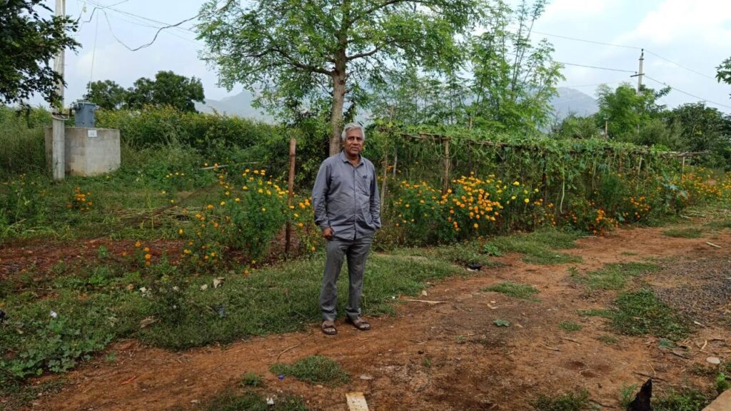
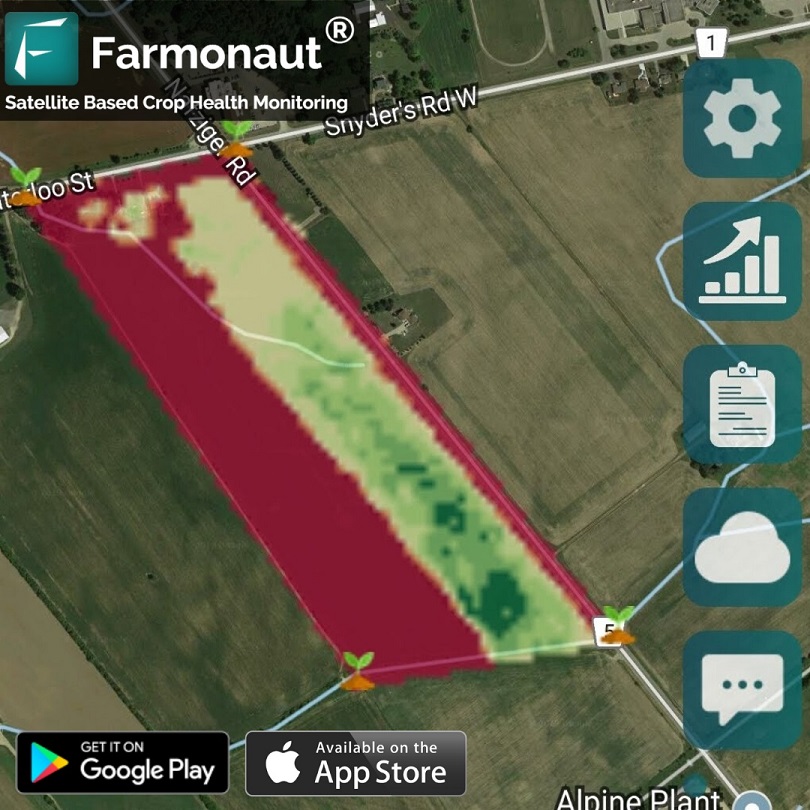
How Natural Farming Can Reinvent The Way Farming is Done Today - Viswamatha Farms | A Case Study

The agricultural practices in use today have a very big impact on the environment. Pollutants, waste, soil degradation, irrigation problems, deforestation, climate change are damaging the agriculture in one way or the other. Excessive use of urea, nitrate, pesticides etc. have affected air, water, and soil quality in a severe way.

Natural Farming

Natural farming is touted as the answer to the above mentioned issues. It was first made popular by Masanobu Fukuoka (Japan) and is famously known as ‘Do-nothing farming’ or ‘No-tillage farming’. This idea in it’s simplest form is to allow nature play a prominent role to as much extent as possible. The farmer is only considered as a care-taker and most of the work is done by the nature itself. Moreover, there are no good or bad organisms in a natural farm. Existence of all of them is important for a balanced ecosystem.

Key Principles of Natural Farming

No till farming – growth of weeds is enhanced if the soil is ploughed since it alters the natural environment of the soil.

No weeding by tillage or herbicides – weeds are suppressed by spreading straw over newly sown land and growing ground cover.

No chemical fertilizers – adding chemical fertilizers can help in the growth of the plant but not of the soil.

No chemical pesticides – nature’s own balancing act prevents any one species from gaining the upper hand.

Viswamatha Farms

Viswamatha farms was born from a passion to share natural farming with the world.

http://viswamathafarms.com/

It believes in the power of nature and the positive change it can have on our land and peoples lives. It is  passionate about real natural food that tastes great, is of highest quality, is full of nutrients and is good for our health and environment.

All the products are produced by natural farming techniques of Shri.Subhash Palekar ji with out using any chemicals.

Viswamatha Farms has been using Farmonaut’s Satellite Based Crop Health Monitoring System since September, 2019.


About The Farm

Viswamatha farms owns and cultivates pulses, millets, rice, spices, groundnut, gingle, vegetables and fruits. The farm is situated in Andhra Pradesh, south India.

The farm is a healthy mix of agriculture, horticulture, floriculture and animal husbandary. Apart from their own farms, viswamatha farms has created natural farming farmers group to cater to the growing requirement of quality products.

Viswamatha farms owns Ongole breed cows and country chicken for farm yard manure. The Cows & country chicken are stress free and free to roam and graze in the fields. 


Natural Farming Practices Used By Viswamatha Farms

Viswamatha farms enrich the soil nutrients by using jeevamruth which is a fermented microbial culture. It provides nutrients but most importantly acts as catalytic agent that promotes the activities of micro-organism in the soil as well as increases earth worms activity. During 48 hours of fermentation process the aerobic and anaerobic bacteria present in the cow dung and cow urine multiply as they eat up organic ingradient (pulse flour mixed in the jeevamruth) in the jeevamruth. A handful of undisturbed soil from the field bunds also added to jeevamruth as inoculate of native spices of microbes and organism.


Jeevamruth also helps to prevent fungal and bacterial plant diseases.

Insects and pests are managed by using specially prepared mixtures called as neemastram, agniastram, brahastram, dasaparni kashayam. These mixtures involve cow dung, cow urine, neem leaves, neem pulp, green chillies and other herbs as required to manage the pests and diseases.

Impact of Natural Farming Methods in Combination With Remote Sensing in the Previous Season

Viswamatha Farms harvested their major crop Red Gram in the month of February, 2020. The images below attached are of the red gram plants in the Viswamatha farms nearly after one month of harvesting.

The images shown below are of the farm nearby to Viswamatha farms which was using the contemporary methods of farming (not natural farming) and also harvested red gram from their field at the same. The images are of one month after the harvesting was done.

As we can clearly see, the red gram plants in the neighboring field of Viswamatha farms are completely dead and dry, whereas the same are still live and healthy in Viswamatha farms even after one month.

Natural Farming in Combination With Remote Sensing

In parallel to the natural farming practices, Viswamatha farms has also been referring to the satellite data provided by Farmonaut through our platform (available on android, iOS as well as web app) to take field level actions and minimize the efforts even further.

Viswamatha Farms is one of our most important users and as quoted by Mr. G.K. Rao of Viswamatha Farms:

“We are bringing awareness on progressive farmers and asking them to use your services for the crop monitoring”

By using satellite data provided by us, farmers can:

1. Reduce Chemical/Fertilizer consumption by applying them only in the locations where crop health is not good.

2. Reduce Labour costs by directing the labours only in those field areas where crop health is critical.

3. Reduce irrigation water wastage by applying proper irrigation only in those locations where plant water stress is low.

4. Increase overall yield.

For any queries and collaborations, please feel free to contact us on: [email protected] or +91-6366026267.

Farmonaut iOS App - A Brief Overview

With iOS app, we have redesigned the user interface completely. The following document gives a brief overview about various functions available on the app.

The app has three main buttons on the main Screen.


Button 1: Select a field: By clicking on this button, the user will be taken to another screen on which they can select the boundary points of a region they want to be monitored through satellites. A point can be selected on the map by long pressing on the screen for about 1 second. At least three points must be selected. Once the points are selected, the user will click on the submit button. At this point, our server will generate metadata of the selected field including the approximate field area of the bounded region. According to the field area, the payment screen will appear through which user will have to select one of the four options (1 month, 3 months, 6 months, 12 months) depending upon the cultivation cycle of the user.


Button 2: My Fields: The button opens another screen on which the field results are visualized on the map. If the user has multiple fields, they can toggle between results of multiple fields from the field addresses given at the bottom of the screen. On the right side, there are buttons of : Map Controls, Index Results, Reports, Weather Data and Field Chat. 


Map Controls: From map controls, users can choose a. which index result to display on the map, b. the date of the satellite visit of the results, c. the colormap of the displayed result. By clicking the “show on map” button, the results of the selected option will be displayed on the map.

Index Results: On this screen, a line graph is displayed of several indices, providing a time series analysis of the field.


Reports: On this screen, the dates for which the reports are available is displayed. These dates are listed in two different categories: successful days and failed days. Successful days are the days on which the satellite was able to capture results of the field successfully. Failed days are the days on which the satellite was not able to capture results of the field due to cloud cover. By clicking on any on the dates, the report will be displayed on the app.

Weather Data: This screen provides the current weather data as well as weather forecast of the field (7 days forecast).

Field Chat: On this screen, users can start discussion about their fields (problems, solutions etc) with other community members. Users can upload field images too with the post and comment on the posts as well as the individual images.


Button 3: Public Fields: This screen consists of a list of our farmers who have voluntarily made their field data public so that the other farmers can see the progress of these farmers through time. By clicking on the address of the public field, user will be directed to the map on which the field results will be displayed.


The app is available on the Apple App Store.

We will keep posting about any such informative information on to our blogs, to help as many people as possible. Farmonaut is built upon a vision to bridge the technological gap between farmers and strives to bring state-of-the-art technologies in the hands of each and every farmer. For any queries/suggestions, please contact us at [email protected]

We have some more interesting articles coming up soon. Stay tuned!

Wait!!

Before that…

Follow us at: