Revolutionizing Sustainable Agriculture: Harnessing Satellite Technology for Enhanced Crop Monitoring and Environmental Protection
In the ever-evolving landscape of modern agriculture, we find ourselves at the forefront of a technological revolution that promises to transform the way we grow food, manage resources, and protect our environment. At Farmonaut, we are proud to be leading this charge, leveraging cutting-edge satellite technology to empower farmers and revolutionize sustainable agricultural practices.
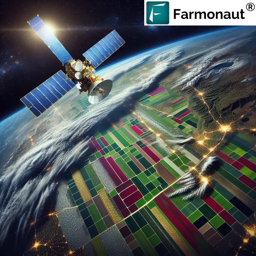
The Power of Satellite-Based Crop Monitoring
Satellite technology has emerged as a game-changer in the agricultural sector, offering unprecedented insights into crop health, soil conditions, and environmental factors. We harness this powerful tool to provide farmers with real-time data and analytics that can significantly improve their decision-making processes.
- Real-time Vegetation Monitoring: Our advanced satellite imagery allows for continuous monitoring of crop health through vegetation indices like NDVI (Normalized Difference Vegetation Index).
- Soil Moisture Analysis: Satellite data provides accurate information on soil moisture levels, enabling more efficient irrigation management.
- Weather Forecasting: Integrated weather data helps farmers prepare for upcoming conditions and make informed decisions about planting, harvesting, and crop protection.
Enhancing Agricultural Productivity through Data-Driven Insights
By leveraging satellite data and advanced analytics, we empower farmers to optimize their agricultural practices and boost productivity. Our platform provides:
- Crop Yield Forecasts: Predictive models based on historical data and current conditions help farmers estimate potential yields.
- Field Analytics: Detailed analysis of field conditions allows for targeted interventions and resource allocation.
- Precision Agriculture: Satellite imagery enables the creation of precise management zones for variable rate applications of inputs.
Sustainable Farming Practices for a Greener Future
At Farmonaut, we believe that sustainable agriculture is not just a goal, but a necessity. Our satellite-powered solutions contribute to environmental protection and resource conservation in several ways:
- Optimized Water Usage: Precise irrigation management based on soil moisture data reduces water waste.
- Reduced Chemical Inputs: Targeted application of fertilizers and pesticides minimizes environmental impact.
- Carbon Footprint Monitoring: Our platform helps farmers track and reduce their carbon emissions, contributing to global climate change mitigation efforts.
Revolutionizing Field Scouting and Crop Management
Traditional field scouting methods are time-consuming and often inefficient. Our satellite-based approach revolutionizes this process:
- Remote Monitoring: Farmers can assess crop conditions without physically visiting every part of their fields.
- Early Problem Detection: Satellite imagery helps identify issues like pest infestations or nutrient deficiencies before they become visible to the naked eye.
- Efficient Resource Allocation: By pinpointing areas that need attention, farmers can allocate their time and resources more effectively.
Mitigating Agricultural Risks and Enhancing Food Security
In an era of climate change and increasing environmental challenges, risk management in agriculture has never been more critical. Our satellite-powered solutions offer:
- Early Warning Systems: Detection of potential threats like drought, floods, or extreme weather events.
- Disaster Impact Assessment: Rapid evaluation of crop damage after natural disasters to facilitate timely interventions.
- Food Security Monitoring: Large-scale crop monitoring to support regional and national food security initiatives.
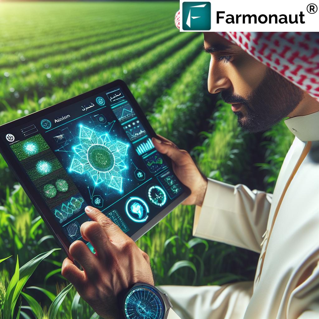
Empowering Farmers with User-Friendly Technology
We understand that technology is only useful if it’s accessible and easy to use. That’s why we’ve designed our platform with farmers in mind:
- Intuitive Mobile App: Access critical farm data on-the-go with our user-friendly mobile application. Download for Android or Download for iOS.
- Customizable Alerts: Set up notifications for important events or threshold breaches in crop health, soil moisture, or weather conditions.
- Easy-to-Interpret Maps: Visual representations of field data make it simple to understand complex information at a glance.
Advancing Forestry Management and Environmental Conservation
While our primary focus is on agricultural applications, our satellite technology also has significant implications for forestry and environmental conservation:
- Forest Monitoring: Track deforestation, assess forest health, and monitor biodiversity.
- Wildfire Risk Assessment: Identify areas at high risk of wildfires and monitor ongoing fire situations.
- Ecosystem Impact Studies: Analyze the impact of human activities on natural ecosystems and protected areas.
Enhancing Water Management and Irrigation Efficiency
Water is one of the most precious resources in agriculture, and our satellite-based solutions help farmers use it more efficiently:
- Precision Irrigation: Tailor water application based on crop needs and soil moisture levels.
- Water Stress Detection: Identify areas of crops experiencing water stress before visible symptoms appear.
- Irrigation System Optimization: Analyze the efficiency of existing irrigation systems and suggest improvements.
Combating Climate Change through Smart Agriculture
Climate change poses significant challenges to agriculture, but it also presents opportunities for innovation. Our platform contributes to climate-smart agriculture by:
- Adaptive Farming Practices: Helping farmers adjust their strategies based on changing climate patterns.
- Carbon Sequestration Monitoring: Tracking the carbon sequestration potential of agricultural lands and forests.
- Sustainable Land Use Planning: Supporting decision-making for optimal land use to balance productivity and environmental protection.
Enhancing Agricultural Efficiency and Productivity
At the heart of our mission is the goal of improving agricultural efficiency and productivity. Our satellite-powered solutions achieve this through:
- Resource Optimization: Precise application of inputs like water, fertilizers, and pesticides based on actual crop needs.
- Labor Efficiency: Reducing the need for manual field scouting and enabling targeted interventions.
- Data-Driven Decision Making: Providing farmers with actionable insights to make informed choices throughout the growing season.
Addressing Environmental Concerns in Agriculture
Modern agriculture faces scrutiny for its environmental impact. Our technology helps address these concerns by:
- Reducing Pollution: Minimizing the overuse of chemicals that can lead to soil and water pollution.
- Protecting Biodiversity: Identifying and preserving areas of high ecological value within agricultural landscapes.
- Promoting Sustainable Practices: Encouraging farming methods that balance productivity with environmental stewardship.
Revolutionizing Crop Yield Forecasting
Accurate yield forecasting is crucial for farm planning, market stability, and food security. Our satellite-based approach offers:
- Advanced Predictive Models: Combining satellite imagery, historical data, and machine learning for more accurate yield predictions.
- Regional and National Forecasts: Supporting large-scale agricultural planning and policy-making.
- In-Season Adjustments: Allowing farmers to adjust their expectations and strategies based on ongoing crop development.
Empowering Agricultural Research and Innovation
Our satellite technology isn’t just for farmers; it’s also a powerful tool for agricultural researchers and innovators:
- Large-Scale Studies: Facilitating research on crop performance, climate adaptation, and new farming techniques across vast areas.
- Phenotyping: Supporting crop breeding programs by monitoring plant traits at scale.
- Technology Integration: Providing a platform for testing and integrating new agricultural technologies and practices.
Comparison: Traditional Farming vs. Farmonaut Satellite-Powered Farming
| Aspect | Traditional Farming | Farmonaut Satellite-Powered Farming |
|---|---|---|
| Crop Monitoring | Manual field scouting, time-consuming and labor-intensive | Real-time satellite imagery, efficient and comprehensive |
| Soil Management | Generalized approach, limited data | Precise soil moisture analysis, targeted interventions |
| Irrigation Efficiency | Often based on experience or schedules | Data-driven, optimized water usage based on actual needs |
| Yield Prediction | Rough estimates based on past experience | Advanced predictive models using satellite data and AI |
| Disaster Prevention | Limited early warning capabilities | Advanced early warning systems for various threats |
| Environmental Impact | Often higher due to over-application of inputs | Reduced environmental footprint through precision agriculture |
The Future of Agriculture: Integrating Satellite Technology
As we look to the future, the integration of satellite technology in agriculture will only become more prevalent. At Farmonaut, we’re committed to staying at the forefront of this revolution:
- Continuous Innovation: We’re constantly refining our algorithms and expanding our capabilities to provide even more valuable insights to farmers.
- Collaboration with Research Institutions: Partnering with academic and research organizations to advance agricultural science and technology.
- Expanding Global Reach: Working to make our satellite-powered solutions accessible to farmers around the world, regardless of scale or location.
Join the Agricultural Revolution with Farmonaut
Are you ready to take your farming practices to the next level? Join the thousands of farmers who are already benefiting from our satellite-powered agricultural solutions:
- Easy Sign-Up: Get started quickly with our user-friendly platform. Sign up now.
- Flexible Plans: Choose the subscription that best fits your needs and farm size.
- Comprehensive Support: Our team of agricultural experts and tech specialists is always ready to assist you.
For Developers: Integrate Farmonaut’s Power into Your Applications
Are you a developer working on agricultural technology? Harness the power of our satellite data and analytics in your own applications:
- Robust API: Access our comprehensive satellite and weather data through our well-documented API. Explore our API.
- Developer Resources: Find detailed documentation and integration guides to help you get started. View Developer Docs.
- Customization Options: Tailor our solutions to meet the specific needs of your applications or clients.
Frequently Asked Questions (FAQ)
- Q: How often is the satellite imagery updated?
A: Our satellite imagery is typically updated every 3-5 days, depending on the specific location and satellite coverage. - Q: Can Farmonaut’s technology work for small farms?
A: Absolutely! Our solutions are scalable and can benefit farms of all sizes, from small family operations to large commercial enterprises. - Q: How accurate are the yield predictions?
A: Our yield predictions have shown high accuracy rates, typically within 10-15% of actual yields. However, accuracy can vary based on factors like crop type and local conditions. - Q: Is internet connectivity required to use Farmonaut’s services?
A: While internet connectivity is needed to receive real-time updates, our mobile app allows for offline access to previously downloaded data. - Q: How does Farmonaut protect user data and privacy?
A: We take data security very seriously. All user data is encrypted and stored securely, and we adhere to strict privacy policies to protect our users’ information. - Q: Can Farmonaut’s technology detect specific crop diseases?
A: While we can detect general signs of crop stress that may indicate disease, specific disease identification often requires additional on-ground verification. - Q: How does satellite monitoring compare to drone monitoring?
A: Satellite monitoring offers wider coverage and more frequent updates without the need for on-site equipment. However, drones can provide higher resolution imagery for specific areas when needed. - Q: Is training provided for using Farmonaut’s platform?
A: Yes, we offer comprehensive training resources, including video tutorials, user guides, and personalized support to help you make the most of our platform. - Q: Can Farmonaut’s technology be used for organic farming?
A: Absolutely! Our technology is equally beneficial for organic farming, helping to optimize resource use and monitor crop health without chemical inputs. - Q: How does Farmonaut contribute to reducing carbon emissions in agriculture?
A: By optimizing resource use and promoting precision agriculture, our technology helps reduce unnecessary inputs and field operations, thereby lowering the overall carbon footprint of farming activities.
Ready to Transform Your Agricultural Practices?
Join the Farmonaut community today and experience the power of satellite-driven agriculture. Choose the plan that best suits your needs:
Together, we can revolutionize agriculture, enhance productivity, and protect our environment for future generations. Join us in shaping the future of sustainable farming with Farmonaut’s cutting-edge satellite technology.