Revolutionizing Agriculture: Advanced Satellite Monitoring and Remote Sensing for Sustainable Crop Management
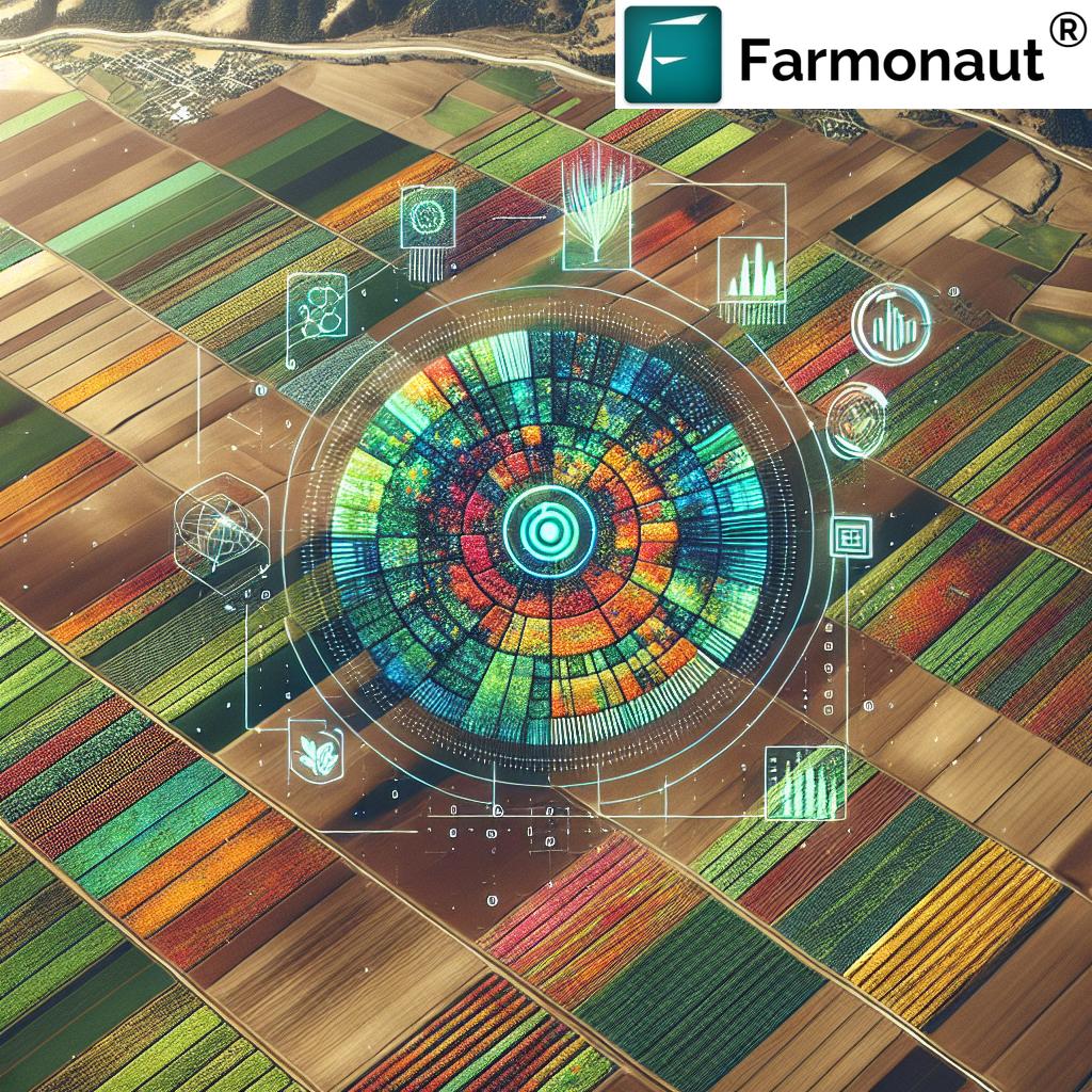
In today’s rapidly evolving agricultural landscape, the integration of cutting-edge technologies is revolutionizing the way we approach crop management and sustainable farming practices. At the forefront of this agricultural revolution is the use of advanced satellite monitoring and remote sensing techniques. These innovative tools are transforming how we monitor crops, manage soil health, and optimize resource utilization for more sustainable and efficient food production.
The Power of Satellite Monitoring in Agriculture
Satellite monitoring has emerged as a game-changer in the agricultural sector, offering unprecedented insights into crop health, soil conditions, and environmental factors that influence farming practices. By harnessing the power of geospatial technology, we can now observe vast agricultural areas with remarkable precision and frequency.
Here are some key advantages of satellite monitoring in agriculture:
- Wide-area coverage: Satellites can monitor extensive agricultural lands, providing a comprehensive view of entire regions or even countries.
- Regular and consistent data collection: Satellites orbit the Earth continuously, allowing for frequent monitoring and data collection.
- Non-invasive monitoring: Unlike traditional ground-based methods, satellite monitoring doesn’t disturb crops or soil.
- Cost-effective: Satellite data is becoming increasingly affordable, making it accessible to farmers of all scales.
- Real-time insights: Advanced processing techniques allow for near-real-time analysis of satellite imagery, enabling timely decision-making.
Remote Sensing: The Eyes in the Sky for Precision Agriculture
Remote sensing technology forms the backbone of satellite-based agricultural monitoring. This powerful tool allows us to gather information about the Earth’s surface without physical contact, using sensors that detect and measure reflected or emitted electromagnetic radiation.
In agriculture, remote sensing provides valuable data on various aspects of crop and soil health:
- Vegetation indices: Measures like the Normalized Difference Vegetation Index (NDVI) help assess crop health and vigor.
- Soil moisture analysis: Remote sensing can detect soil moisture levels, crucial for irrigation management.
- Crop stress detection: Early identification of pest infestations, diseases, or nutrient deficiencies.
- Yield prediction: Satellite data can be used to estimate crop yields, aiding in harvest planning and market forecasting.
- Land use classification: Identifying different crop types and monitoring changes in land use over time.
Advanced Analysis: Turning Satellite Images into Actionable Insights
The true power of satellite monitoring lies in the advanced analysis techniques that transform raw data into actionable insights for farmers and agricultural managers. These sophisticated algorithms and machine learning models process vast amounts of satellite imagery to extract meaningful information about crop health, soil conditions, and environmental factors.
Some key areas of advanced analysis include:
- Crop health assessment: Analyzing spectral signatures to determine the overall health and vigor of crops.
- Soil moisture mapping: Creating detailed maps of soil moisture distribution across agricultural lands.
- Crop yield forecasting: Using historical data and current conditions to predict potential yields.
- Pest and disease detection: Identifying early signs of crop stress that may indicate pest infestations or diseases.
- Nutrient management: Assessing crop nutrient status to optimize fertilizer application.
Sustainable Crop Management Through Satellite Technology
One of the most significant benefits of satellite monitoring and remote sensing in agriculture is its contribution to sustainable crop management practices. By providing precise, timely information about crop and soil conditions, these technologies enable farmers to make more informed decisions that optimize resource use and minimize environmental impact.
Precision Agriculture: Optimizing Inputs for Maximum Efficiency
Satellite-based precision agriculture allows farmers to tailor their management practices to the specific needs of different areas within their fields. This approach, known as site-specific management, helps optimize the use of resources such as water, fertilizers, and pesticides.
Benefits of precision agriculture include:
- Reduced input costs: By applying resources only where and when needed, farmers can significantly reduce their expenses.
- Improved crop yields: Optimized management practices lead to healthier crops and higher yields.
- Minimized environmental impact: Precise application of inputs reduces the risk of over-application and runoff.
- Enhanced sustainability: Efficient resource use contributes to long-term agricultural sustainability.
Water Management: Conserving a Precious Resource
Water scarcity is a growing concern in many agricultural regions. Satellite-based soil moisture monitoring and advanced irrigation management systems help farmers use water more efficiently, ensuring optimal crop growth while conserving this vital resource.
Key aspects of satellite-based water management include:
- Soil moisture mapping: Identifying areas that require irrigation and those with adequate moisture.
- Irrigation scheduling: Determining the optimal timing and amount of irrigation based on crop needs and soil conditions.
- Water stress detection: Early identification of crops suffering from water stress, allowing for timely intervention.
- Drought monitoring: Assessing regional drought conditions to inform water allocation decisions.
Soil Health Monitoring: The Foundation of Sustainable Agriculture
Healthy soils are essential for sustainable crop production. Satellite monitoring and remote sensing techniques provide valuable insights into soil health, enabling farmers to implement practices that maintain and improve soil quality over time.
Satellite-based soil health monitoring includes:
- Soil organic matter assessment: Estimating soil organic carbon content, a key indicator of soil health.
- Erosion risk mapping: Identifying areas prone to soil erosion and implementing preventive measures.
- Salinity monitoring: Detecting soil salinity issues that can impact crop growth and yield.
- Soil texture analysis: Assessing soil physical properties to inform management decisions.
Carbon Sequestration and Environmental Monitoring
As climate change concerns grow, the role of agriculture in carbon sequestration and environmental protection has gained significant attention. Satellite monitoring and remote sensing technologies play a crucial role in tracking carbon dynamics in agricultural systems and monitoring environmental impacts.
Carbon Sequestration Tracking
Satellite-based carbon monitoring helps quantify the amount of carbon stored in agricultural soils and vegetation, providing valuable data for climate mitigation efforts and carbon credit programs.
Key aspects of carbon sequestration tracking include:
- Soil organic carbon mapping: Estimating carbon storage in agricultural soils across large areas.
- Vegetation biomass assessment: Quantifying carbon stored in crops and other vegetation.
- Land use change monitoring: Tracking changes in land use that impact carbon storage and emissions.
- Carbon flux modeling: Estimating carbon exchanges between the atmosphere and agricultural ecosystems.
Environmental Impact Assessment
Satellite monitoring helps assess the environmental impacts of agricultural practices, enabling farmers and policymakers to implement more sustainable farming methods.
Areas of environmental monitoring include:
- Pollution detection: Identifying sources of agricultural pollution, such as nutrient runoff or pesticide drift.
- Biodiversity assessment: Monitoring habitats and ecosystems within agricultural landscapes.
- Deforestation tracking: Assessing the impact of agricultural expansion on forested areas.
- Water quality monitoring: Detecting changes in water bodies affected by agricultural activities.
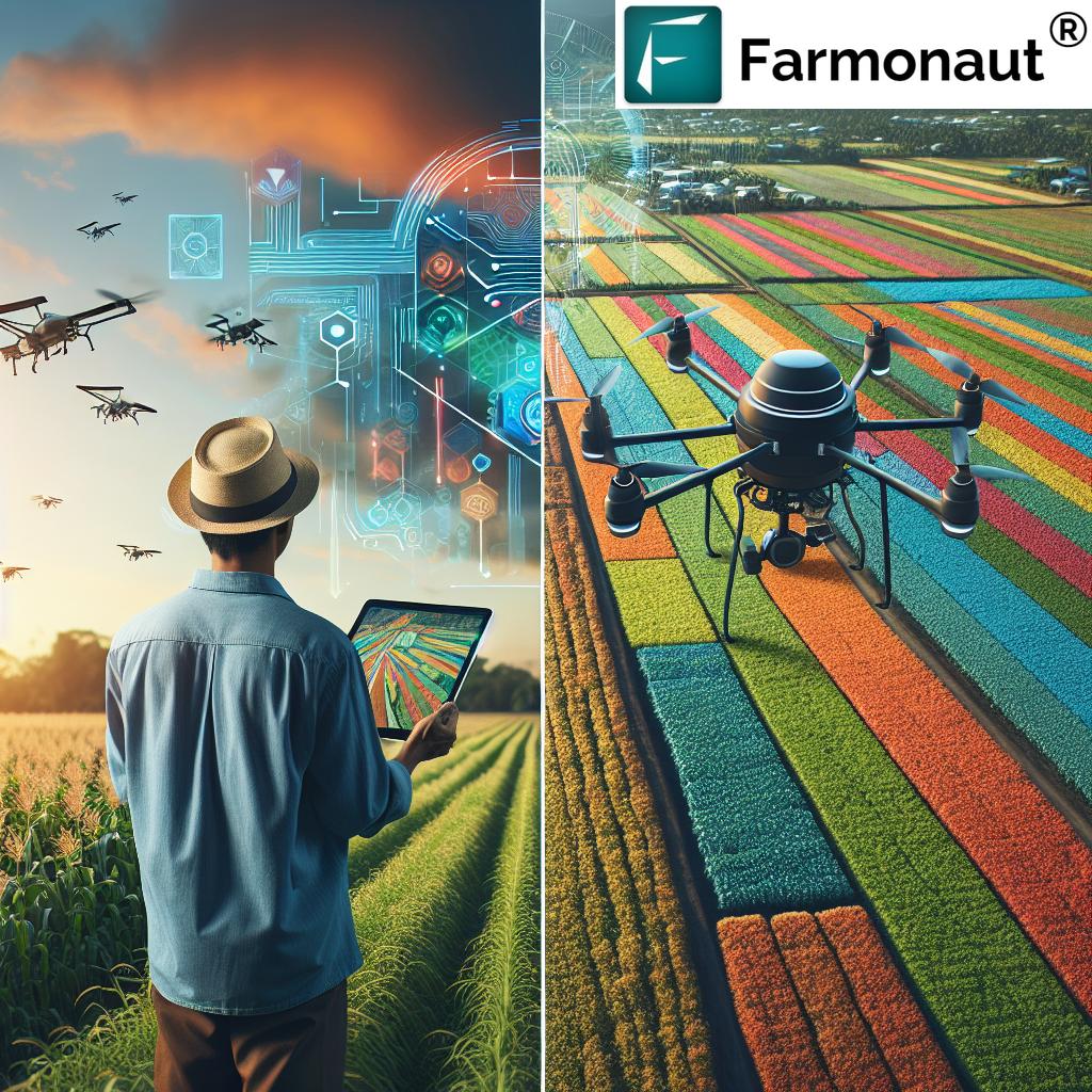
The Role of Drones in Complementing Satellite Monitoring
While satellite monitoring provides invaluable broad-scale insights, drones offer a complementary approach for more detailed, on-demand agricultural monitoring. These unmanned aerial vehicles (UAVs) can capture high-resolution imagery and data at lower altitudes, filling the gap between satellite observations and ground-level measurements.
Benefits of integrating drone technology with satellite monitoring include:
- Higher resolution imagery: Drones can capture detailed images of specific areas of interest.
- Flexible timing: Farmers can deploy drones as needed, regardless of satellite revisit times.
- Multispectral and thermal imaging: Advanced sensors on drones provide additional data on crop health and stress.
- Precision application: Drones can be used for targeted spraying of pesticides or fertilizers.
- Real-time decision support: Immediate data collection and analysis for rapid response to crop issues.
Challenges and Future Directions in Satellite-Based Agricultural Monitoring
While satellite monitoring and remote sensing have revolutionized agricultural management, several challenges and areas for future development remain:
Data Processing and Interpretation
The vast amount of data generated by satellites requires sophisticated processing and analysis techniques. Ongoing research focuses on improving algorithms and machine learning models to extract more accurate and relevant information from satellite imagery.
Cloud Cover and Atmospheric Interference
Cloud cover and atmospheric conditions can interfere with satellite observations, particularly in optical imagery. Developing more robust methods for dealing with these issues, such as cloud-penetrating radar technologies, is an active area of research.
Integration with Other Data Sources
Combining satellite data with other sources of information, such as ground-based sensors, weather data, and historical records, can provide more comprehensive insights. Improving data integration and fusion techniques is crucial for maximizing the value of satellite monitoring.
Accessibility and User-Friendly Platforms
Making satellite-derived insights accessible and actionable for farmers of all scales remains a challenge. Developing user-friendly platforms and decision support tools that translate complex data into practical recommendations is essential for widespread adoption.
The Future of Sustainable Agriculture: Powered by Satellite Technology
As we look to the future of agriculture, it’s clear that satellite monitoring and remote sensing will play an increasingly vital role in sustainable crop management. These technologies offer unprecedented opportunities to optimize resource use, improve crop yields, and minimize environmental impacts.
Some exciting future developments include:
- Higher resolution satellites: New satellites with improved spatial and temporal resolution will provide even more detailed and frequent observations.
- Advanced AI and machine learning: More sophisticated algorithms will enable real-time analysis and prediction of crop conditions and yields.
- Integration with IoT and smart farming: Seamless integration of satellite data with ground-based sensors and automated farming systems.
- Improved crop modeling: More accurate crop growth models that incorporate satellite-derived data for better yield forecasting and management decisions.
- Enhanced climate resilience: Using satellite data to develop strategies for adapting to changing climate conditions and extreme weather events.
Comparison: Farmonaut’s Satellite Monitoring vs. Traditional Methods
| Aspect | Traditional Methods | Farmonaut Satellite System |
|---|---|---|
| Crop Health Monitoring | Manual field scouting, time-consuming and labor-intensive | Automated, real-time monitoring using multispectral satellite imagery |
| Soil Moisture Analysis | Spot checks with soil probes, limited coverage | Comprehensive soil moisture mapping across entire fields |
| Carbon Sequestration Tracking | Periodic soil sampling, expensive and time-consuming | Continuous monitoring of soil organic carbon using advanced algorithms |
| Pollution Detection | Limited to visual observations and sporadic testing | Early detection of nutrient runoff and other pollutants using spectral analysis |
| Area Coverage | Limited to accessible areas, time-consuming for large fields | Comprehensive coverage of entire farms or regions in a single pass |
| Real-time Data Availability | Delayed reporting due to manual data collection and processing | Near real-time insights available through web and mobile platforms |
| Cost-effectiveness | High labor costs for frequent monitoring | Affordable subscription-based model with frequent data updates |
This table highlights Farmonaut’s advantages in precision, efficiency, and comprehensive data analysis for sustainable agriculture.
Empowering Farmers with Satellite-Derived Insights
At Farmonaut, we’re committed to making advanced satellite monitoring and remote sensing technologies accessible to farmers of all scales. Our platform integrates cutting-edge satellite data with powerful analytics to provide actionable insights for sustainable crop management.
Key features of our satellite monitoring system include:
- Real-time crop health monitoring: Track vegetation indices like NDVI to assess crop vigor and stress.
- Soil moisture analysis: Optimize irrigation management with detailed soil moisture maps.
- Weather forecasting: Access accurate, localized weather predictions for informed decision-making.
- Yield prediction: Estimate potential yields based on historical data and current conditions.
- Pest and disease alerts: Receive early warnings of potential crop threats for timely intervention.
Our user-friendly mobile app and web platform make it easy for farmers to access these insights anytime, anywhere. By leveraging the power of satellite technology, we’re helping farmers increase productivity, reduce costs, and implement more sustainable practices.
Ready to revolutionize your farming practices with satellite-powered insights? Try Farmonaut today and experience the future of sustainable agriculture.
Download our app now:
For developers interested in integrating our satellite data into their own applications, check out our API documentation.
Frequently Asked Questions (FAQ)
-
Q: How often is satellite imagery updated in Farmonaut’s system?
A: Our satellite imagery is updated regularly, with most areas receiving new data every 3-5 days, depending on cloud cover and satellite availability. -
Q: Can satellite monitoring replace traditional field scouting?
A: While satellite monitoring provides valuable insights, it’s best used in combination with field scouting. Satellite data can help prioritize areas that need closer inspection, making field scouting more efficient. -
Q: How accurate are yield predictions based on satellite data?
A: Yield predictions based on satellite data can be quite accurate, typically within 10-15% of actual yields. However, accuracy can vary depending on factors like crop type, weather conditions, and the availability of historical data. -
Q: Is satellite monitoring effective for small farms?
A: Yes, satellite monitoring can be beneficial for farms of all sizes. Our platform is designed to be cost-effective and user-friendly, making it accessible to small-scale farmers as well as large agricultural operations. -
Q: How does Farmonaut’s system account for different crop types?
A: Our system uses advanced machine learning algorithms that are trained on various crop types. Users can specify their crop type in the app, allowing for more accurate analysis and recommendations tailored to specific crops.
Join the Agricultural Revolution with Farmonaut
Ready to harness the power of satellite monitoring and remote sensing for your farm? Subscribe to Farmonaut today and take the first step towards more sustainable, efficient, and profitable farming.
By embracing satellite-powered agriculture, we’re not just optimizing crop production – we’re cultivating a more sustainable future for our planet. Join us in this journey towards smarter, more efficient farming practices that benefit both farmers and the environment.
Together, we can revolutionize agriculture and ensure a more sustainable, food-secure future for generations to come. Start your satellite-powered farming journey with Farmonaut today!