Revolutionizing Forest Management: Farmonaut’s Interactive Map Technology for Precision Monitoring and Sustainable Forestry
“Farmonaut’s interactive map technology can monitor over 100 million hectares of forest area globally.”
In the rapidly evolving landscape of environmental conservation and sustainable resource management, we find ourselves at the forefront of a technological revolution that’s reshaping how we approach forest management. At Farmonaut, we’re proud to introduce our cutting-edge interactive map technology, designed specifically for precision monitoring and sustainable forestry practices. This innovative solution combines the power of satellite imagery, artificial intelligence, and data analytics to provide unprecedented insights into forest health, productivity, and conservation efforts.
As we delve into the intricacies of this groundbreaking technology, we’ll explore how Farmonaut’s forest monitoring tools are transforming the way we understand and manage our precious woodland resources. From tracking deforestation to assessing forest productivity and analyzing water stress in agriculture, our comprehensive platform offers a wealth of information at your fingertips.
The Power of Interactive Maps for Forestry
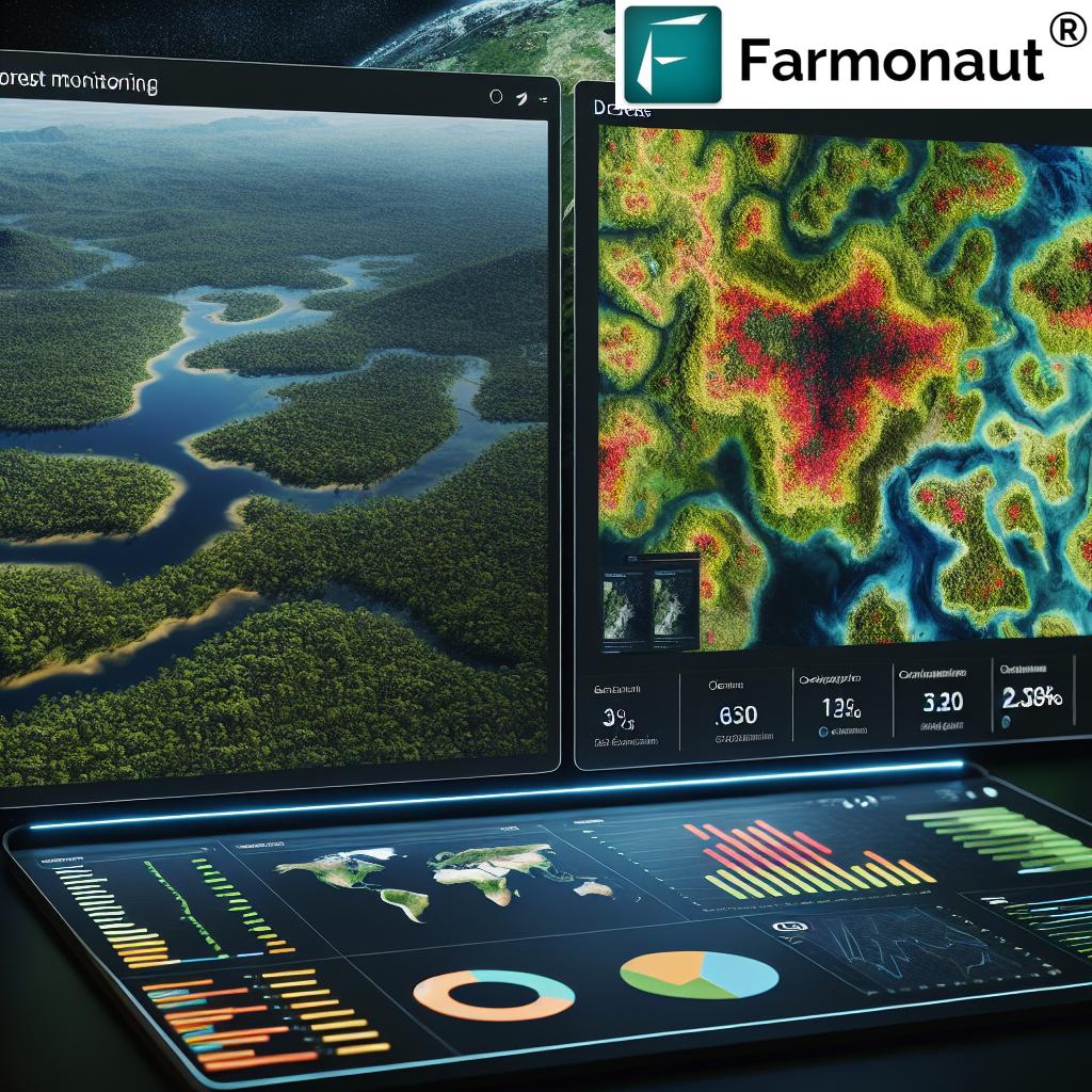
Our interactive map for forestry is at the heart of Farmonaut’s forest management solution. This powerful tool allows forestry professionals, environmental researchers, and policymakers to visualize and analyze vast areas of forest cover with unprecedented accuracy and detail. Here’s how our technology is revolutionizing forest monitoring:
- Real-time Monitoring: Our satellite-based system provides up-to-date imagery, allowing for continuous monitoring of forest health and changes.
- High-resolution Imagery: With access to high-resolution images, users can zoom in on specific areas of interest, identifying even small-scale changes in forest cover.
- Multi-spectral Analysis: By utilizing various spectral bands, our technology can detect subtle changes in vegetation health that might be invisible to the naked eye.
- Historical Data Comparison: Compare current forest conditions with historical data to track long-term trends and changes in forest cover.
By leveraging these features, forest managers can make informed decisions about resource allocation, conservation efforts, and sustainable forestry practices.
Tracking Deforestation with Precision
One of the most critical applications of our interactive map technology is in tracking and combating deforestation. Farmonaut’s platform provides detailed deforestation statistics, enabling users to:
- Identify areas of rapid forest loss
- Analyze patterns of deforestation over time
- Assess the impact of conservation efforts
- Plan targeted interventions in high-risk areas
By providing accurate and timely data on forest cover changes, we empower stakeholders to take swift action against illegal logging, encroachment, and other threats to forest ecosystems.
Measuring Forest Productivity
Understanding forest productivity is crucial for sustainable management and resource planning. Our platform offers advanced forest productivity measures that provide insights into:
- Biomass accumulation rates
- Carbon sequestration potential
- Timber yield estimates
- Ecosystem health indicators
These metrics enable forest managers to optimize harvesting schedules, identify areas for reforestation, and assess the overall health of forest ecosystems.
Water Stress Analysis in Forestry and Agriculture
Water stress is a critical factor affecting both forest health and agricultural productivity. Farmonaut’s technology extends beyond forestry to provide valuable insights into water stress in agriculture. Our advanced moisture analytics help users:
- Identify areas of drought stress in forests and agricultural lands
- Monitor soil moisture levels across large areas
- Predict potential impacts of water stress on crop yields
- Optimize irrigation strategies for both forestry and agricultural applications
By integrating water stress analysis into our platform, we provide a comprehensive solution for managing both forest and agricultural resources sustainably.
“Satellite crop monitoring can provide insights on crop health and productivity for fields as small as 0.1 hectares.”
Satellite Crop Monitoring: Bridging Forestry and Agriculture
While our focus is on forest management, Farmonaut’s technology also offers powerful tools for satellite crop monitoring. This crossover between forestry and agriculture provides several benefits:
- Unified platform for managing diverse landscapes
- Improved understanding of land-use changes
- Holistic approach to ecosystem management
- Enhanced decision-making for agroforestry projects
Our satellite crop monitoring capabilities allow users to assess crop health, predict yields, and optimize resource use in agricultural settings, complementing our forestry management tools.
Leveraging Agricultural Data Analytics
At Farmonaut, we understand that data is the key to informed decision-making. Our agricultural data analytics tools provide users with:
- Crop classification capabilities
- Yield prediction models
- Field boundaries detection
- Harvest monitoring
These features enable precision farming technology, allowing farmers and foresters to optimize their operations based on data-driven insights.
Remote Sensing for Agriculture and Forestry
Remote sensing is at the core of our technology, offering unparalleled advantages for both agriculture and forestry:
- Non-invasive monitoring of large areas
- Frequent data updates
- Ability to access hard-to-reach locations
- Multi-spectral analysis for detailed insights
By harnessing the power of remote sensing, we provide a comprehensive view of land use, vegetation health, and environmental changes across vast landscapes.
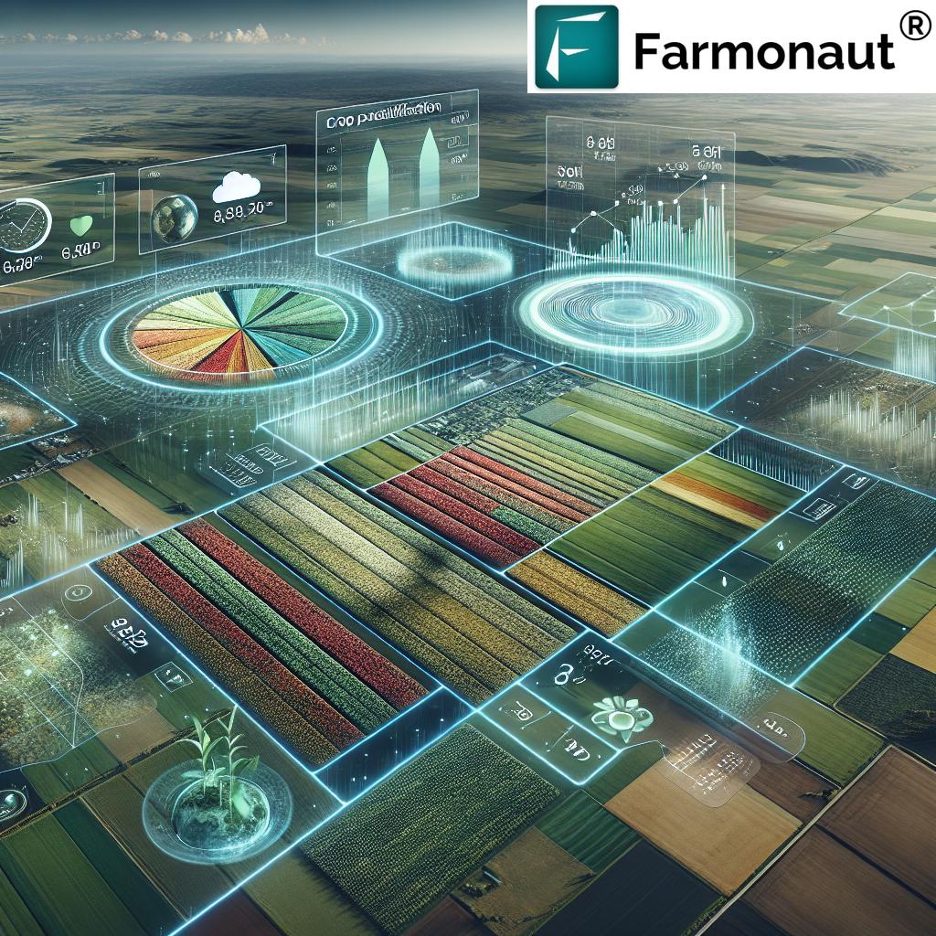
Climate Impact on Forests: Monitoring and Analysis
Understanding the climate impact on forests is crucial for long-term sustainability. Our platform offers tools to:
- Track changes in vegetation patterns due to climate shifts
- Analyze the impact of extreme weather events on forest health
- Monitor long-term trends in forest composition and structure
- Assess the resilience of different forest types to climate change
By providing these insights, we enable forest managers to develop adaptive strategies for climate change mitigation and resilience.
The Farmonaut Dashboard: Your Window to Forest Health
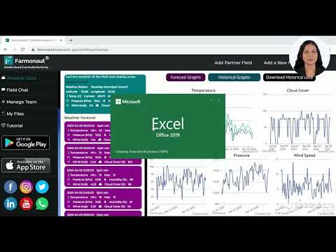
Our user-friendly dashboard is the central hub for accessing all of Farmonaut’s powerful features. The dashboard provides:
- Real-time statistics on forest health indicators
- Customizable views for different management objectives
- Integration of multiple data sources for comprehensive analysis
- Alert systems for detecting sudden changes or anomalies
With this intuitive interface, users can quickly access the information they need to make informed decisions about forest management and conservation.
Advanced Features for Comprehensive Forest Management
Farmonaut’s platform goes beyond basic monitoring to offer advanced features that support comprehensive forest management:
Organic Carbon Monitoring
Our technology allows for the assessment of organic carbon levels in forest soils, providing valuable insights into:
- Carbon sequestration potential
- Soil health and fertility
- Long-term ecosystem sustainability
Land Viewer
The Land Viewer feature offers a dynamic way to explore forest areas:
- 3D visualization of terrain
- Layer-based analysis of different data sets
- Time-lapse views of forest changes
Global Weather Data Integration
Our platform incorporates global weather data to enhance forest management decisions:
- Precipitation patterns analysis
- Daily temperature tracking
- Extreme weather event predictions
This integration allows for better planning and risk management in forestry operations.
Soil Modeling for Forest Health
Understanding soil conditions is crucial for forest health. Our soil modeling capabilities provide:
- Detailed soil type mapping
- Nutrient content analysis
- Erosion risk assessment
- Recommendations for soil conservation measures
These insights help in maintaining optimal soil conditions for forest growth and sustainability.
Applications Across Industries
While our technology is rooted in forestry and agriculture, its applications extend to various industries:
- Environmental Research: Supporting studies on biodiversity, ecosystem services, and climate change impacts.
- Commodities Trading: Providing insights into timber production and agricultural yields for informed market decisions.
- Alternative Energy: Assisting in site selection for renewable energy projects while minimizing environmental impact.
- Mining and Oil & Gas: Helping assess and mitigate environmental impacts of resource extraction activities.
- Insurance: Enabling risk assessment for properties in forested areas or agricultural lands.
This versatility makes Farmonaut’s technology a valuable asset across multiple sectors.
Comparison of Farmonaut’s Interactive Map Features for Forest Management
| Feature Name | Description | Benefits for Forest Monitoring | Applications in Sustainable Forestry |
|---|---|---|---|
| Deforestation Tracking | Real-time monitoring of forest cover changes | Early detection of illegal logging and encroachment | Targeted conservation efforts and policy enforcement |
| Forest Productivity Assessment | Analysis of biomass accumulation and growth rates | Optimized resource management and yield prediction | Sustainable harvesting plans and reforestation strategies |
| Water Stress Analysis | Monitoring of soil moisture and drought conditions | Early warning for potential forest dieback | Improved irrigation planning and fire risk management |
| Climate Impact Monitoring | Long-term tracking of climate effects on forests | Understanding forest resilience and vulnerability | Development of climate-adaptive forest management strategies |
| Real-time Statistics Dashboard | Centralized display of key forest health indicators | Quick access to critical data for decision-making | Efficient monitoring and reporting for forest management projects |
Integrating Farmonaut into Your Operations
Adopting Farmonaut’s technology is straightforward and can significantly enhance your forest management practices:
- Web Application: Access our full suite of tools through our user-friendly web interface.
- Mobile Apps: Stay connected on the go with our Android and iOS applications.
- API Access: Integrate our data and analytics directly into your existing systems.
To get started with Farmonaut’s revolutionary forest management tools, click on the buttons below:
For developers looking to integrate our technology into their own applications, we offer comprehensive API access. Visit our API portal and check out our API Developer Docs for more information.
Subscription Options
Farmonaut offers flexible subscription plans to meet the needs of various users, from individual researchers to large organizations. Our pricing is designed to make advanced forest monitoring technology accessible to all:
Frequently Asked Questions (FAQ)
Q: How often is the satellite imagery updated?
A: Our satellite imagery is updated regularly, with frequencies ranging from daily to weekly, depending on the specific area and subscription plan.
Q: Can Farmonaut’s technology be used for small-scale forestry projects?
A: Absolutely! Our technology is scalable and can be applied to forest areas of any size, from small woodlots to vast national forests.
Q: Is training required to use Farmonaut’s platform?
A: While our platform is designed to be user-friendly, we offer comprehensive training and support to ensure you can make the most of our technology.
Q: How accurate is the deforestation detection?
A: Our deforestation detection is highly accurate, with the ability to detect changes as small as 0.1 hectares, depending on the resolution of available imagery.
Q: Can Farmonaut’s technology be used in areas with frequent cloud cover?
A: Yes, we utilize multiple satellite sources and advanced algorithms to minimize the impact of cloud cover on our analysis.
Conclusion: Empowering Sustainable Forest Management
Farmonaut’s interactive map technology for precision monitoring and sustainable forestry represents a significant leap forward in our ability to manage and protect our forest resources. By combining cutting-edge satellite technology, advanced data analytics, and user-friendly interfaces, we’re providing forest managers, researchers, and policymakers with the tools they need to make informed decisions about forest health, productivity, and conservation.
As we face growing environmental challenges, including climate change and deforestation, the importance of precise, data-driven forest management cannot be overstated. Farmonaut is committed to continuous innovation in this field, striving to develop even more powerful and accessible tools for sustainable forestry practices.
We invite you to explore how Farmonaut’s technology can revolutionize your approach to forest management. Whether you’re involved in environmental research, forestry consulting, or managing vast tracts of woodland, our platform offers the insights and capabilities you need to succeed in today’s complex environmental landscape.
Join us in our mission to promote sustainable forestry and protect our planet’s vital forest ecosystems. With Farmonaut, the future of forest management is here, and it’s more accessible than ever before.


