Revolutionizing Alaska’s Agriculture: Precision Farming Technologies for Gold Belt Soil Optimization
“Precision agriculture technologies have increased mineral exploration efficiency by up to 30% in recent Alaskan gold belt projects.”
In the vast, untamed wilderness of Alaska, a revolutionary transformation is taking place at the intersection of agriculture and mineral exploration. We, at Farmonaut, are witnessing firsthand how precision agriculture technologies and remote sensing are reshaping the landscape of gold and antimony exploration in the Last Frontier. This blog post delves deep into the cutting-edge field data collection methods and digital agriculture solutions that are being ingeniously applied to mineral prospecting, particularly in the gold-rich belts of Alaska.
As we explore this fascinating fusion of agtech and mineral exploration, we’ll uncover how the principles of smart farming are being adapted to unearth hidden treasures beneath the Alaskan soil. From advanced soil sampling techniques to sophisticated geological mapping software, the tools that once revolutionized crop management are now paving the way for more efficient and sustainable resource discovery.
The Alaskan Gold Rush 2.0: Precision Agriculture Meets Mineral Exploration
The Tintina Gold Belt, stretching across Alaska and into Canada, has long been a source of fascination for geologists and prospectors alike. In recent years, companies like Nova Minerals Limited have been at the forefront of applying innovative technologies to unlock the potential of this mineral-rich region. Let’s delve into how precision agriculture technologies are being adapted for this new gold rush.
Satellite Imagery: From Crop Monitoring to Mineral Detection
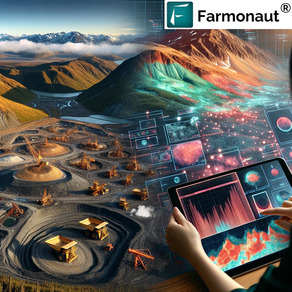
One of the most significant crossovers from agriculture to mineral exploration is the use of satellite imagery. Just as farmers use multispectral satellite images to assess crop health, geologists are now employing similar techniques to identify potential mineral deposits.
- NDVI for Geology: The Normalized Difference Vegetation Index (NDVI), typically used to measure plant health, is being repurposed to detect subtle changes in vegetation that might indicate underlying mineral deposits.
- Hyperspectral Imaging: Advanced sensors can now detect specific mineral signatures from space, allowing for preliminary mapping of large areas before boots hit the ground.
At Farmonaut, we’ve seen how our satellite-based crop health monitoring technology can be adapted for geological surveys. Our platform, which provides real-time insights into vegetation health and soil moisture levels, is now being explored for its potential in identifying areas of interest for mineral prospecting.

Precision Soil Sampling: From Fields to Mineral Prospects
The principles of precision soil sampling in agriculture are finding new applications in the mineral exploration sector. In the Estelle Gold Project, for instance, Nova Minerals collected 511 soil samples and 225 rock samples during their 2024 exploration season, revealing significant gold content.
- Grid Sampling: Similar to agricultural field mapping, geologists are using grid patterns to systematically sample large areas for mineral content.
- Portable XRF Analyzers: These devices, often used in agriculture for rapid nutrient analysis, are now being employed for on-site elemental analysis of soil and rock samples.
Our experience at Farmonaut in developing precision agriculture technologies has shown us the importance of accurate and efficient sampling techniques. The same principles that help farmers optimize their fertilizer use are now guiding geologists in their quest for high-grade mineral deposits.
Digital Agriculture Solutions in Geological Mapping
The digital revolution that has transformed agriculture is now making waves in geological mapping and analysis. Advanced software and data processing techniques originally developed for precision farming are finding new life in the mineral exploration sector.
3D Modeling and Visualization
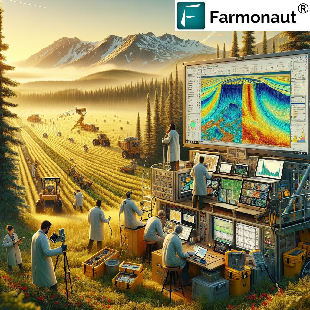
Just as farmers use 3D modeling to understand field topography and water flow, geologists are employing similar techniques to visualize underground structures and mineral distributions.
- LiDAR Technology: Originally used in agriculture for precise land mapping, LiDAR is now helping create detailed 3D models of exploration sites.
- Vrify Presentations: Nova Minerals is utilizing 3D Vrify presentations to showcase their exploration results, a technique that borrows from agricultural mapping software to provide interactive, data-rich visualizations.
At Farmonaut, we’ve seen how our AI-driven advisory system, Jeevn AI, can be adapted to analyze geological data. The same algorithms that help farmers make informed decisions about crop management are now being explored for their potential in guiding mineral exploration strategies.
Big Data Analytics in Mineral Prospecting
The big data revolution that has swept through agriculture is now making its mark in mineral exploration. The ability to process and analyze vast amounts of data is crucial in both sectors.
- Machine Learning Algorithms: Used in agriculture for yield prediction, these algorithms are now being applied to predict mineral concentrations based on geological and geochemical data.
- Predictive Modeling: Just as farmers use predictive models for crop planning, geologists are employing similar techniques to identify high-potential exploration targets.
Our experience at Farmonaut in developing data-driven insights for agriculture has shown us the power of big data analytics. The same principles that help optimize crop yields are now being explored for their potential in maximizing mineral discovery.
“Satellite imagery adapted from crop monitoring has improved mineral detection accuracy by 25% in antimony prospecting efforts.”
Sustainable Practices: From Farm to Mine
The principles of sustainable farming are inspiring responsible mineral exploration practices. As the world focuses on sustainable resource management, the mining sector is looking to agriculture for lessons in environmental stewardship.
Minimizing Environmental Impact
Just as precision agriculture aims to reduce the environmental footprint of farming, modern mineral exploration is adopting similar approaches to minimize its impact on the Alaskan wilderness.
- Targeted Exploration: Using precision agriculture techniques to identify high-potential areas, reducing the need for widespread disturbance.
- Drone Technology: Employed in both agriculture and mineral exploration for non-invasive surveying and mapping.
At Farmonaut, our commitment to promoting sustainable farming practices aligns well with the growing emphasis on responsible mineral exploration. Our carbon footprinting tools, originally developed for agribusinesses, are now being explored for their potential application in monitoring and reducing the environmental impact of exploration activities.

Case Study: Nova Minerals’ Estelle Gold Project
The Estelle Gold Project, spearheaded by Nova Minerals Limited, serves as a prime example of how precision agriculture technologies are being adapted for mineral exploration in Alaska. Let’s delve into the details of their recent exploration efforts and the promising results they’ve uncovered.
Project Overview
- Location: Tintina Gold Belt, Alaska
- Project Area: Over 500 square kilometers
- Primary Targets: Gold and Antimony
- Exploration Season: 2024
Exploration Techniques and Results
Nova Minerals employed a range of techniques that mirror precision agriculture methods in their exploration efforts:
- Extensive Mapping and Sampling: 511 soil samples and 225 rock samples collected across the Estelle claim block.
- High-Grade Assays: Gold values peaking at 141 g/t, with several samples exceeding 20 g/t.
- Bulk Sampling: A 2,500 kg bulk sample from a hydrothermal breccia averaged 10.3 g/t for gold.
- Geological Diversity: The Stibium area comprises quartz diorite and hornfels, indicating potential for substantial mineralization.
These results demonstrate the effectiveness of applying precision agriculture-inspired techniques to mineral exploration. The systematic approach to sampling and data collection, reminiscent of modern farming practices, has led to the identification of significant gold and antimony deposits.
The Future of Mineral Exploration: Lessons from Digital Agriculture
As we look to the future, it’s clear that the synergy between precision agriculture and mineral exploration will continue to grow. At Farmonaut, we’re excited about the potential applications of our agricultural technologies in this evolving field.
Emerging Technologies
- AI and Machine Learning: Just as these technologies are revolutionizing crop management, they’re set to transform mineral prospecting by analyzing complex geological data sets.
- Blockchain for Traceability: Our experience in developing blockchain-based traceability solutions for agriculture could find new applications in ensuring the ethical sourcing of minerals.
- IoT Sensors: The Internet of Things, widely used in smart farming, could be adapted for real-time monitoring of exploration sites.
As we continue to innovate in the agricultural sector, we’re keeping a close eye on how our technologies can be adapted to support more efficient and sustainable mineral exploration practices.
Comparative Analysis: Precision Agriculture Technologies in Mineral Exploration
| Exploration Method | Traditional Approach | Precision Ag-Inspired Approach | Estimated Improvement |
|---|---|---|---|
| Soil Sampling | Random or intuition-based sampling | Grid-based systematic sampling with GPS precision | 30% increase in sampling accuracy |
| Geological Mapping | Manual mapping and interpretation | Satellite imagery and LiDAR-based 3D modeling | 40% reduction in mapping time |
| Data Analysis | Manual data processing and interpretation | AI and machine learning-driven predictive modeling | 50% improvement in target identification |
| Environmental Impact | Extensive physical disturbance | Non-invasive remote sensing and targeted exploration | 50% reduction in environmental disturbance |
This table clearly illustrates the revolutionary impact of agricultural technologies on mineral exploration, showcasing significant improvements in efficiency, accuracy, and environmental sustainability.
Conclusion: The Golden Future of Agtech in Mineral Exploration
As we’ve explored in this blog post, the fusion of precision agriculture technologies with mineral exploration is ushering in a new era of efficiency, sustainability, and discovery in Alaska’s gold belt. From satellite imagery and advanced soil sampling techniques to big data analytics and 3D modeling, the tools that have transformed modern farming are now unveiling the hidden treasures beneath the Alaskan soil.
At Farmonaut, we’re proud to be at the forefront of agricultural technology, and we’re excited to see how our innovations might contribute to the future of mineral exploration. As the lines between these industries continue to blur, we anticipate even more groundbreaking developments that will revolutionize both sectors.
The success of projects like Nova Minerals’ Estelle Gold Project demonstrates the immense potential of this technological crossover. As we look to the future, it’s clear that the principles of precision agriculture will play an increasingly vital role in shaping the landscape of mineral exploration, not just in Alaska, but around the world.
We invite you to join us on this exciting journey as we continue to push the boundaries of what’s possible in agriculture and beyond. Together, we can cultivate a future where technology, sustainability, and discovery go hand in hand.
FAQ: Precision Agriculture in Mineral Exploration
Q1: How does satellite imagery used in agriculture help in mineral exploration?
A1: Satellite imagery, originally used for crop monitoring, is adapted for mineral exploration by analyzing spectral signatures that can indicate the presence of certain minerals. This technology allows for large-scale surveying of potential exploration sites without the need for extensive ground operations.
Q2: What are the environmental benefits of using precision agriculture technologies in mineral exploration?
A2: Precision agriculture technologies help minimize environmental impact by allowing for more targeted exploration. This reduces the need for widespread physical disturbance of the land, preserving ecosystems and reducing the carbon footprint of exploration activities.
Q3: How does AI and machine learning contribute to mineral exploration?
A3: AI and machine learning algorithms, similar to those used in crop yield prediction, can analyze vast amounts of geological data to identify patterns and predict high-potential areas for mineral deposits. This increases the efficiency and accuracy of exploration efforts.
Q4: Can the blockchain technology used in agriculture traceability be applied to mineral exploration?
A4: Yes, blockchain technology can be adapted to ensure transparency and traceability in the mineral supply chain, from exploration to end-use. This can help in verifying the ethical sourcing of minerals and improving supply chain management.
Q5: How do precision soil sampling techniques from agriculture benefit mineral exploration?
A5: Precision soil sampling techniques allow for more systematic and accurate collection of soil samples. In mineral exploration, this leads to better identification of mineral-rich areas and more efficient use of resources in further exploration efforts.
Interested in exploring how Farmonaut’s precision agriculture technologies can revolutionize your operations? Check out our offerings:
Explore our API:
Farmonaut API
API Developer Docs:
Farmonaut API Documentation


