Farmonaut Insights: Early Winter Barley Harvest Boosts Yields in Cambridgeshire – Agricultural Trends and Technology Solutions
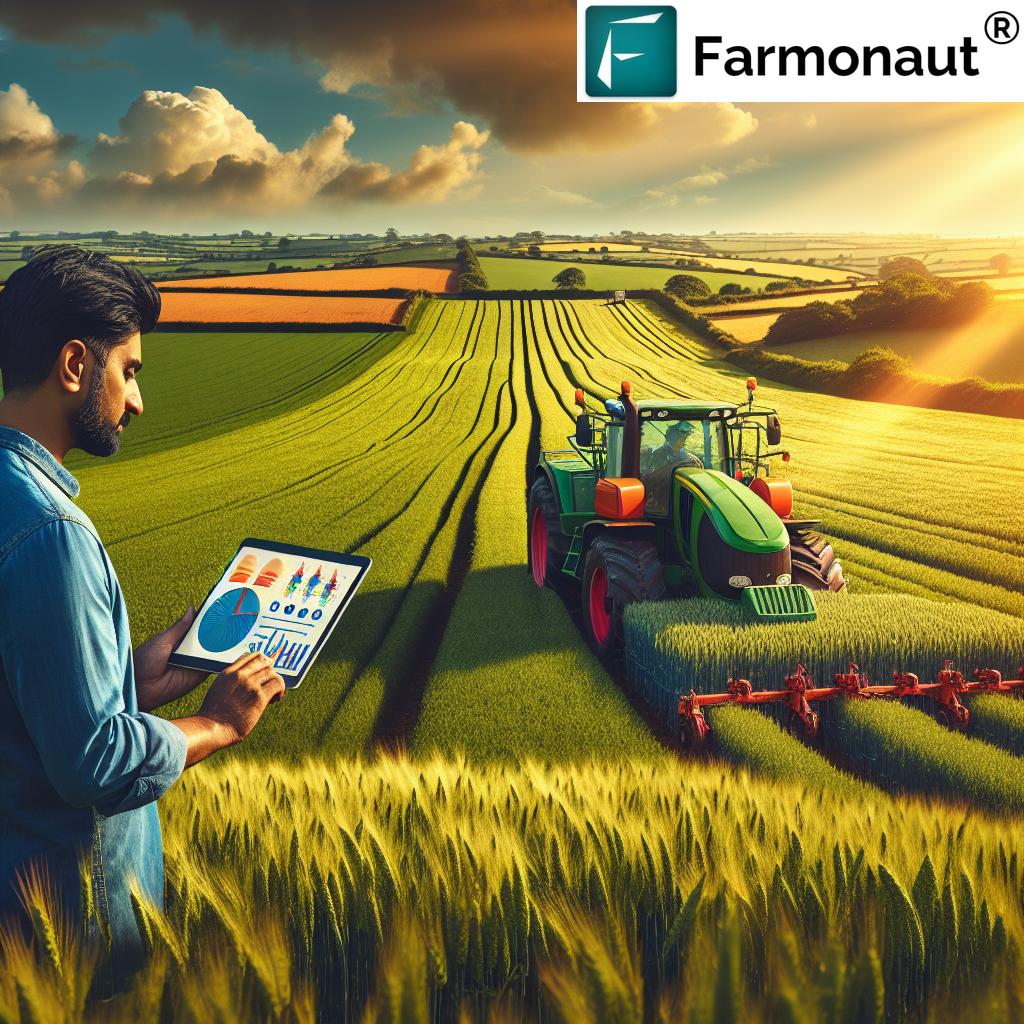
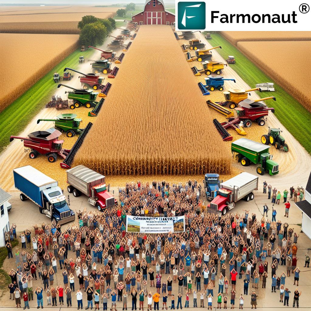
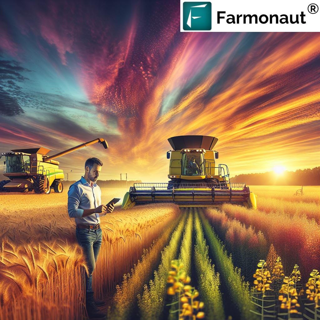
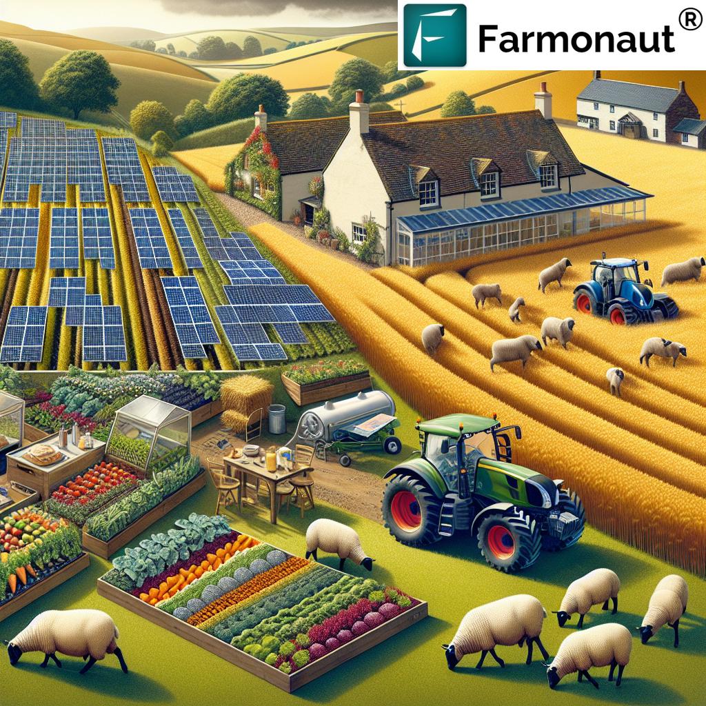
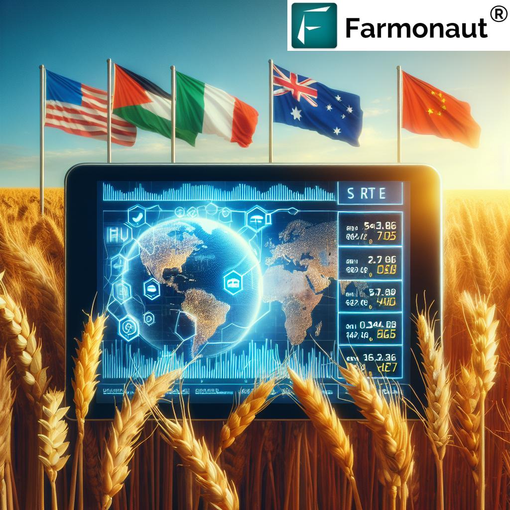
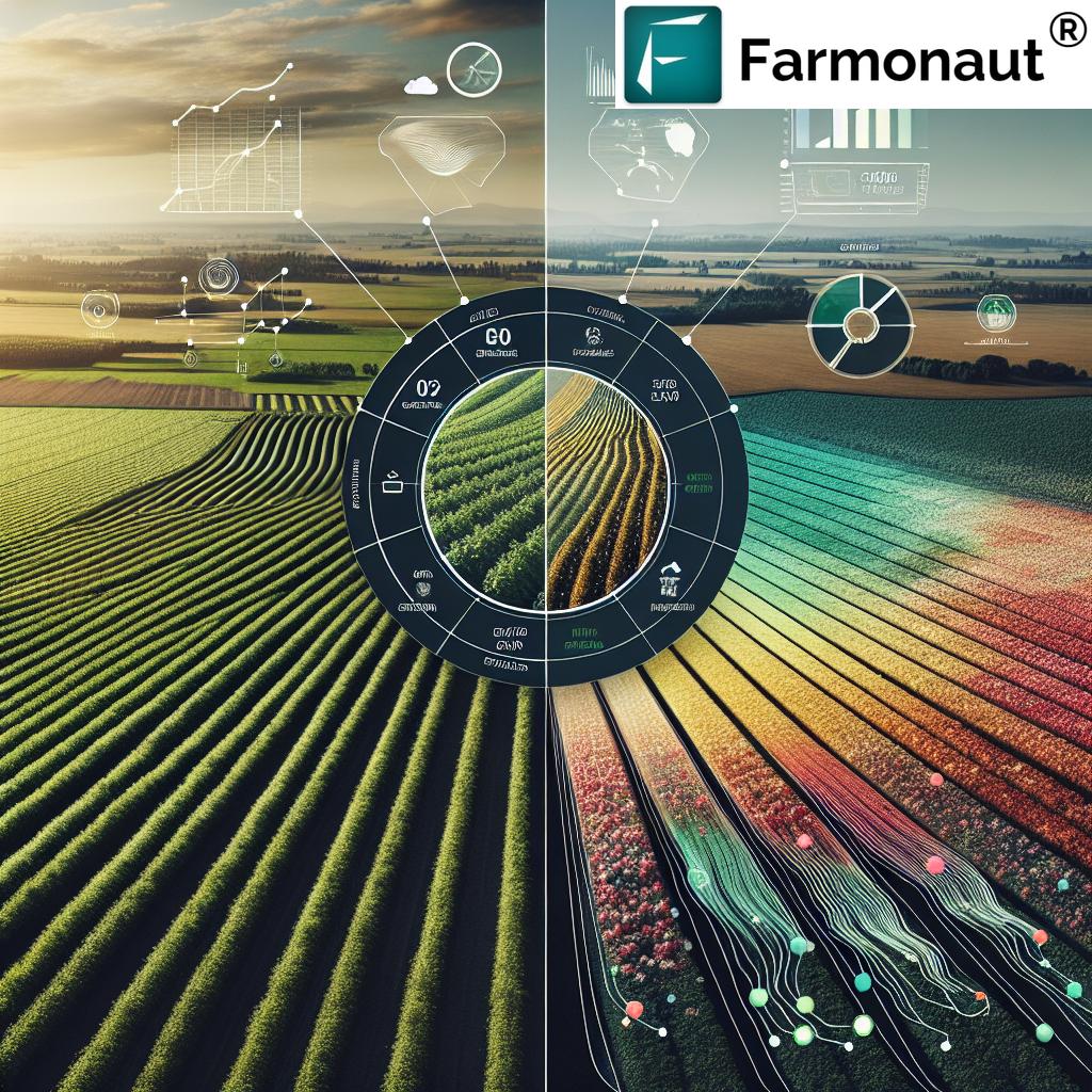
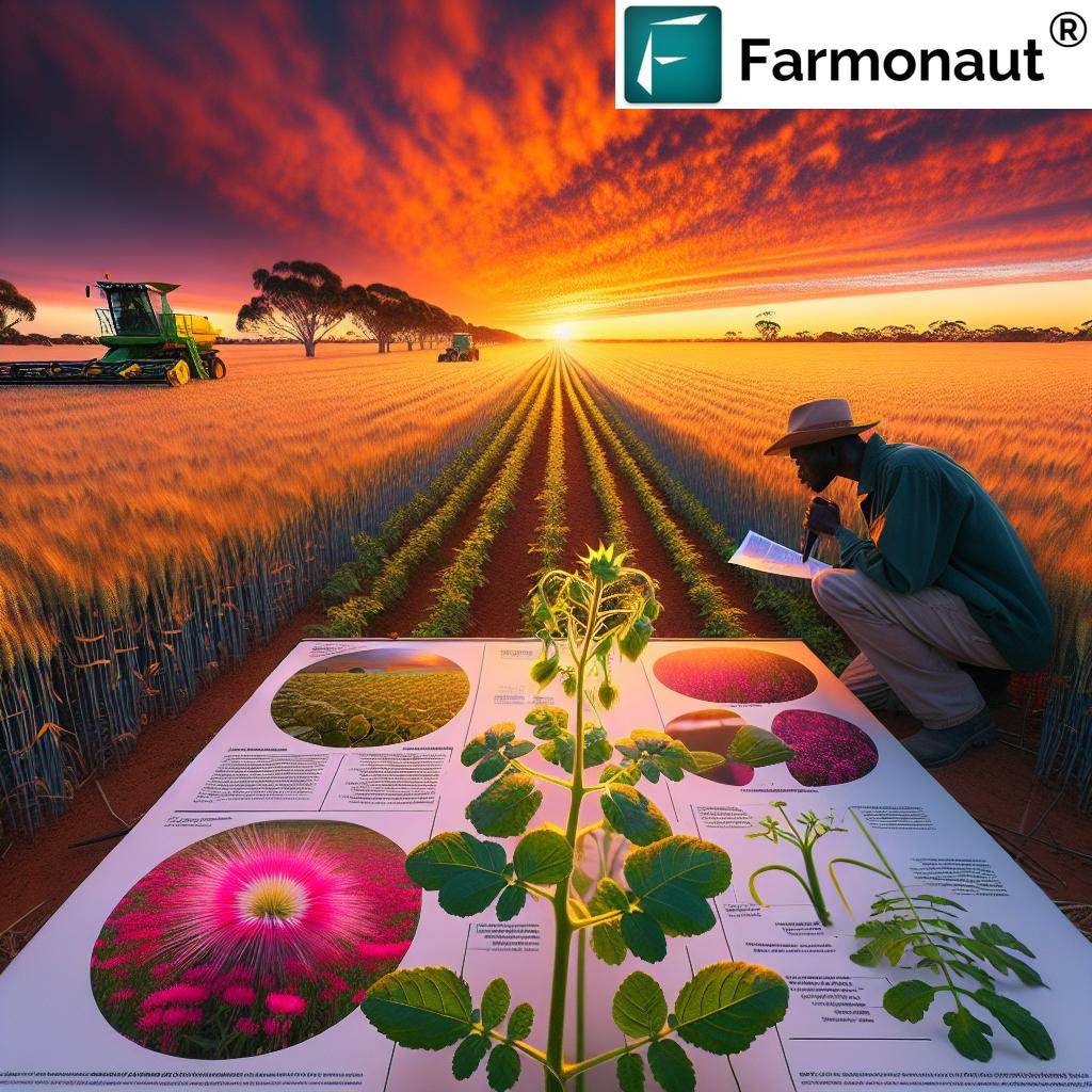
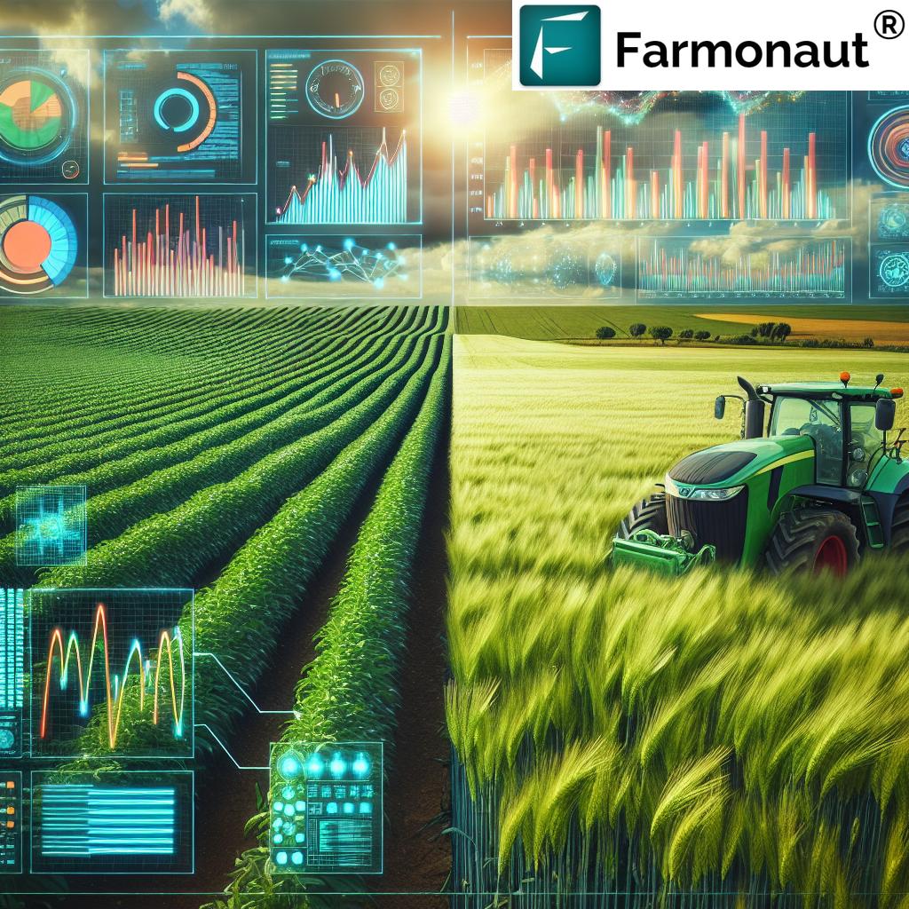
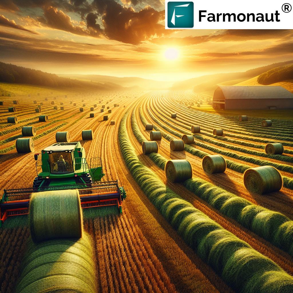
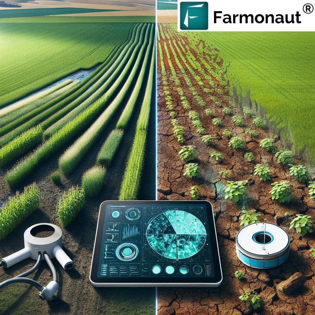
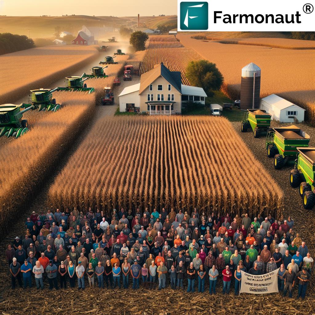
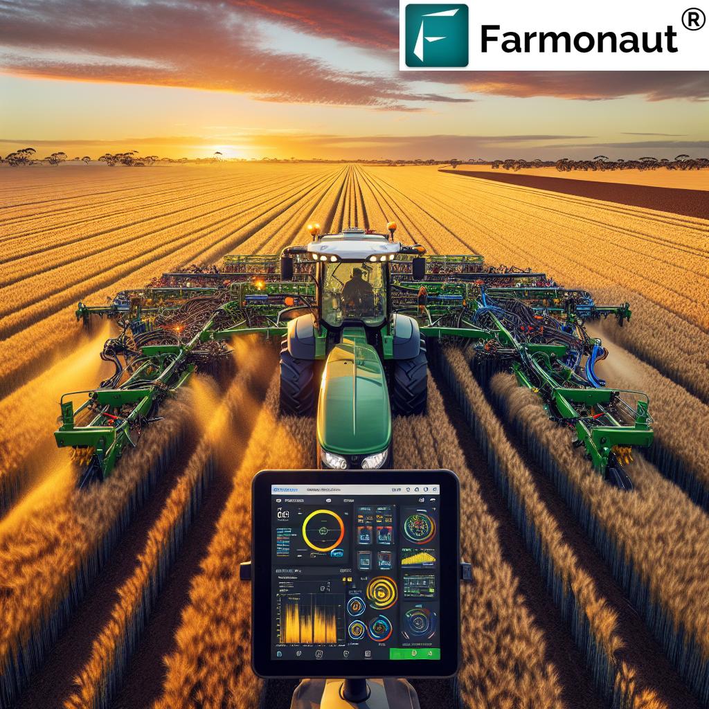
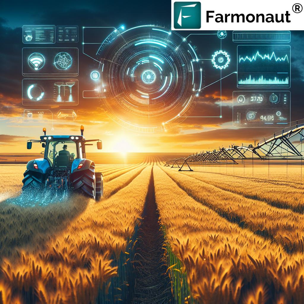
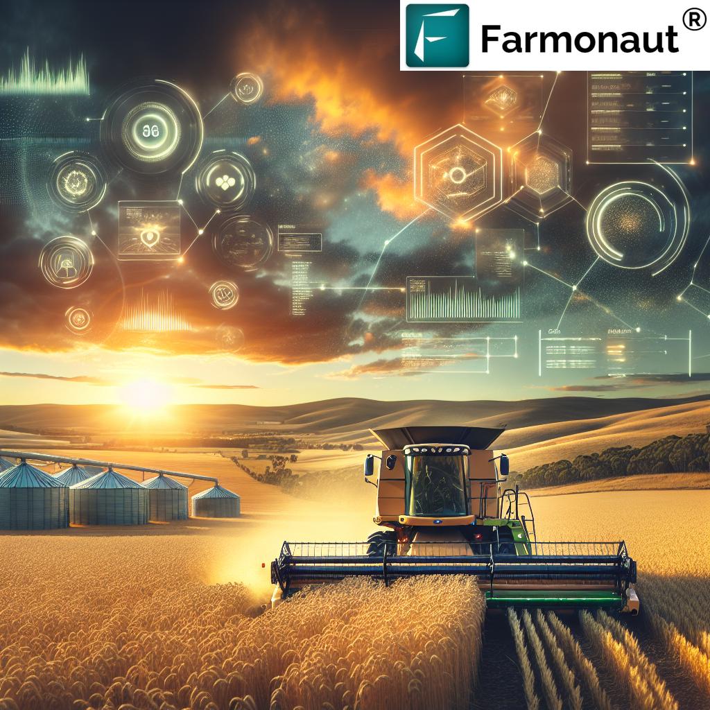
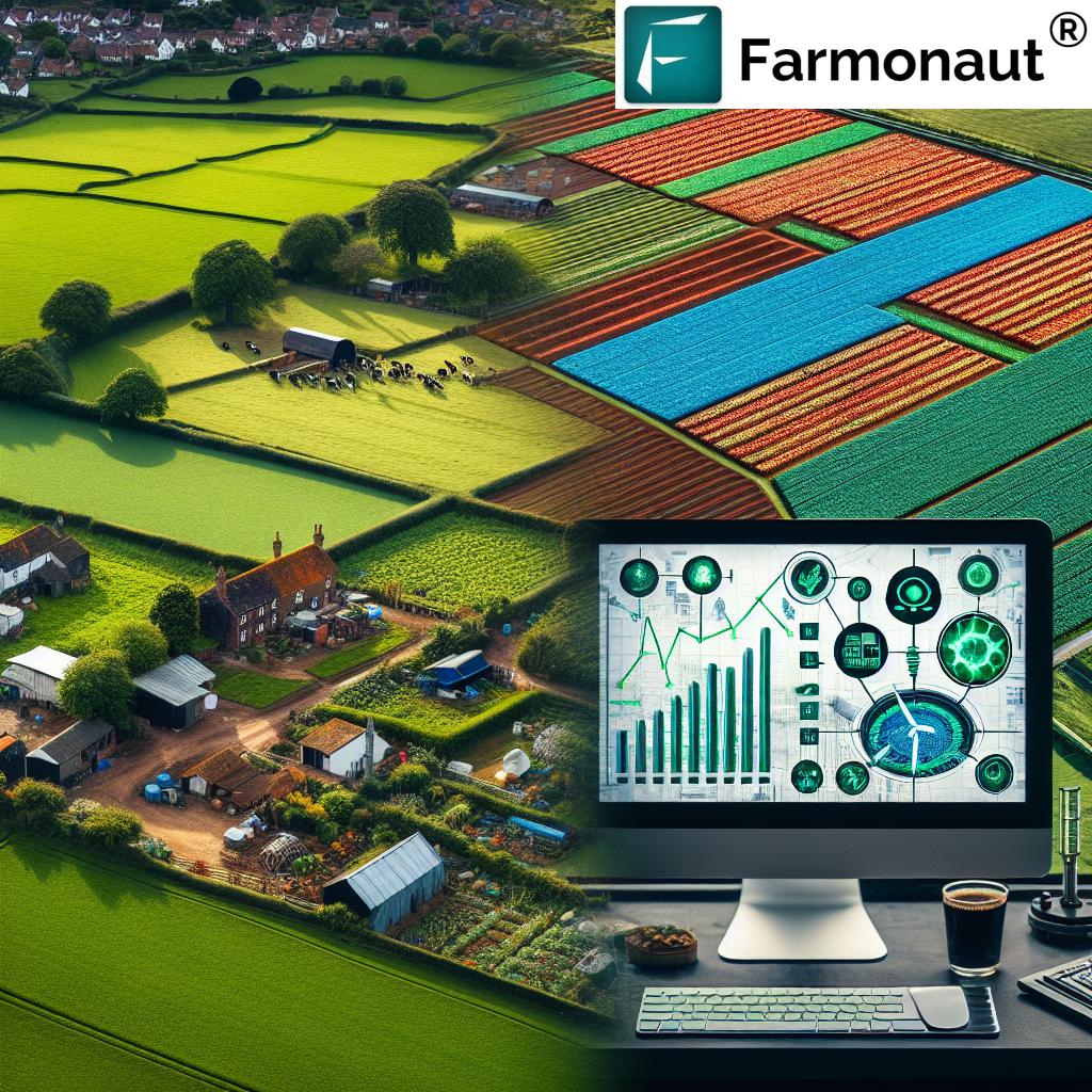
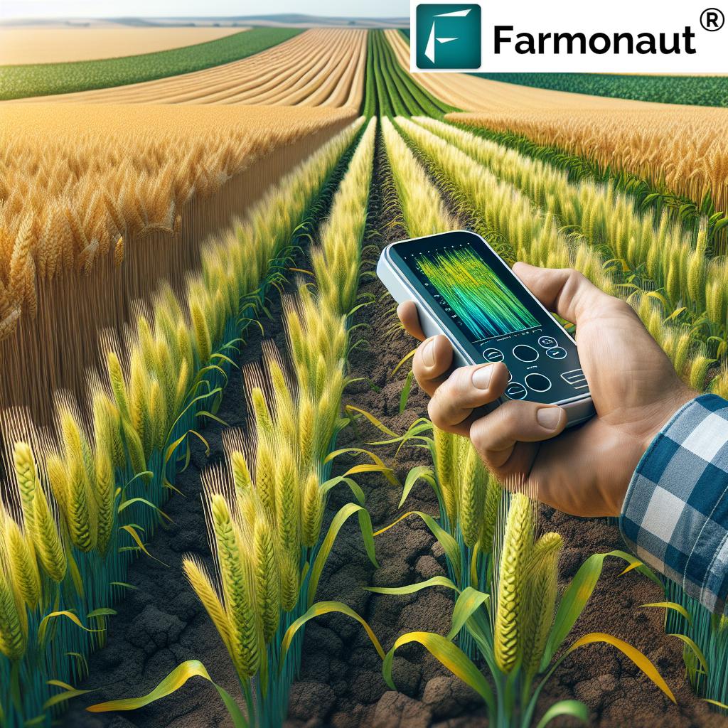
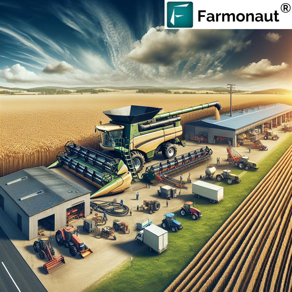
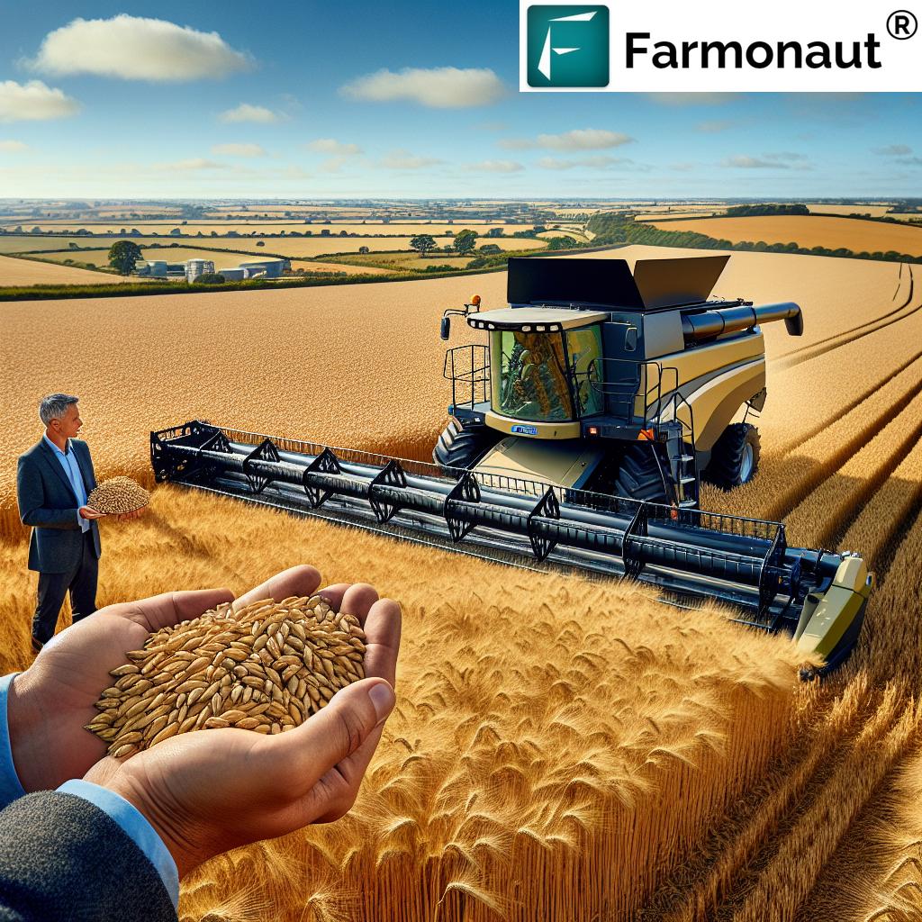
Farmers in Cambridgeshire are experiencing an early winter barley harvest, marking a significant agricultural trend. This year’s crop yields impressive results, with farmers reaping between 9.64 to 10.04 tonnes per hectare. The early start, coupled with excellent grain quality, signals positive outcomes for arable farming in the region. Farmonaut’s precision farming techniques can further optimize these yields, offering innovative solutions for crop management. This agricultural news highlights the dynamic nature of farming, influenced by weather patterns and market trends. For those involved in farm planning strategies, this early harvest provides valuable insights for future crop rotations and land use. Discover how sustainable agriculture practices and advanced agricultural technology can enhance your farm’s productivity. Read the full blog to learn more about the winter barley harvest in Cambridgeshire and how it reflects broader trends in UK farming, from Scotland to Wales.