Farmonaut's technological advancements facilitate:
1. Tree Number Estimation
- By estimating the number of trees in a farm, we can determine if the acreage has been planted with the ideal number of trees.
- If the estimation reveals a lower count, it is necessary to inform the concerned parties to address the issue by planting more trees.
2. Tree Age Estimation
- Knowing the age of oil palm trees in different areas beforehand can assist us in determining the appropriate care needed for each location.
- Moreover, it aids in predicting the potential high-yield areas.
3. Crop Performance
- Farmers can choose their field and pinpoint the areas where the crop growth is abnormal
- Once the problematic region is identified, farmers can visit that area to determine if the issue has already arisen. If it hasn’t, they can take proactive measures such as applying additional fertilizers, plant growth regulators, and so on, to prevent the problem from occurring.
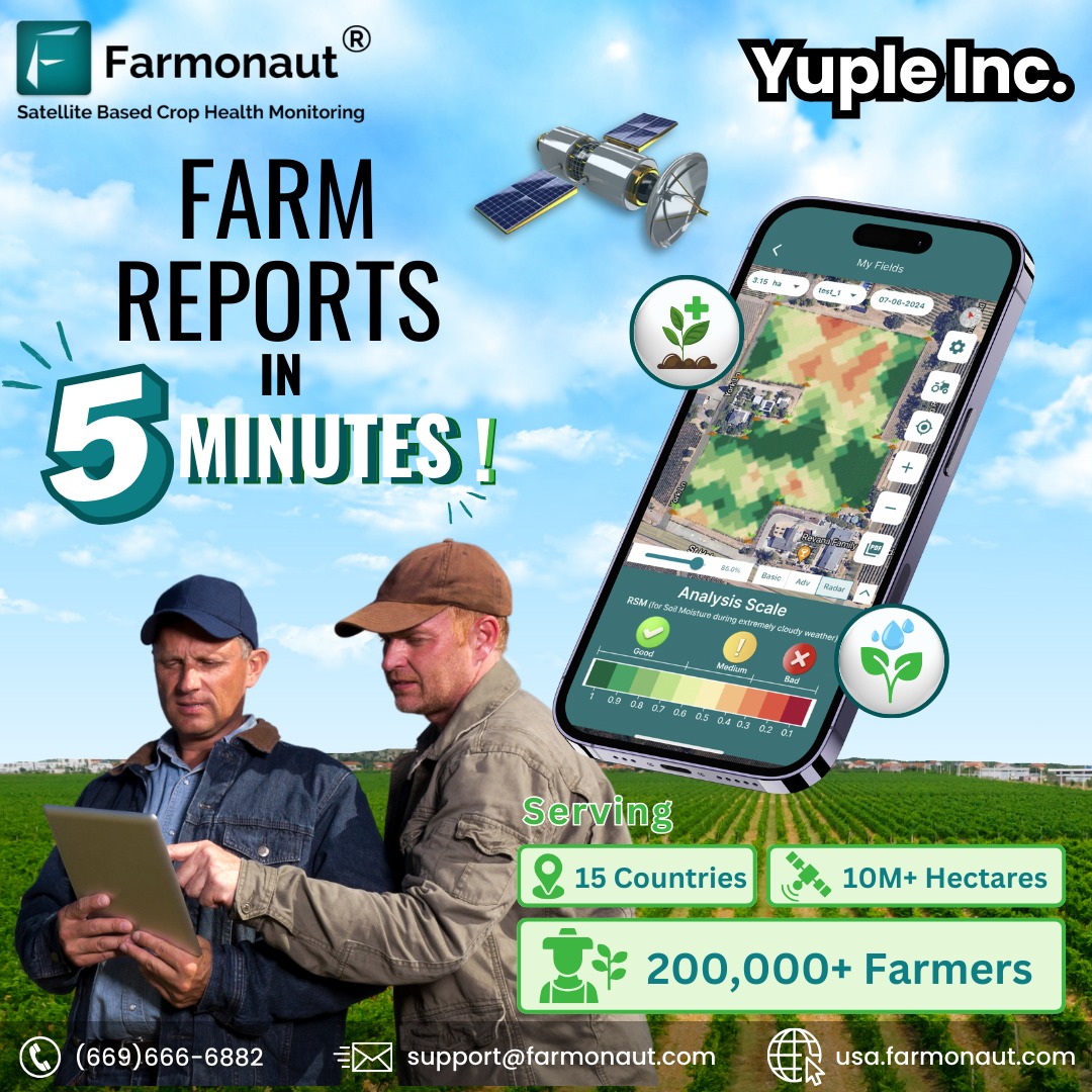
- The satellite imagery is refreshed every 2-5 days and provides a resolution of 10 meters, which is twice as good as that of Google Maps in rural India.
4. Large Scale Traceability
- Farmonaut’s traceability solutions provide complete visibility into the entire supply chain of the oil palm industry, from the plantation to the final product.
- offer numerous benefits for oil palm plantations, including increased transparency, efficiency, environmental responsibility, quality control, and market access.
Why Farmonaut For Oil Palm Plantation?
Though Oil palm plantations are a vital source of income for farmers managing an oil palm plantation comes with its challenges, such as optimizing yield outcomes, monitoring crop health, and ensuring sustainability. This is where Farmonaut comes into action. Farmonaut’s technology provides various benefits such as :
- Results with a high level of precision.
- Performs estimations at a faster pace.
- Capable of estimating these results for an unlimited number of fields.
- Using this approach, we conducted an estimation of the age of the plantation to gain insights into its potential yield.
Who are the beneficiaries?

At Farmonaut, we performed Oil Palm Plantation analysis for Godrej Agrovet for more than 800 farmlands totaling 1000+ hectares in area.
Corporate entities and large businesses that trade in oil palms can utilize our technology to elevate their business operations. By using our system, they can monitor their farms to detect vegetation and water stress and take proactive measures to save their crops before it’s too late. Our system provides detailed PDF reports that help redirect ground efforts to areas that need attention, thereby preventing any potential crop damage. By identifying the exact locations with stress, businesses can save money on farm inputs. To get started, all they need to do is upload their farm data and start receiving insights.
Farmonaut helps you with:
Recording Farm Level Data
Records farm details such as:
- inputs used during various stages of the crop cycle.
- disease or infestation occurrences and geo-tagged images of the affected crops in the field.

Mapping Farms in Large Quantity
- Using GPS on the field perimeters, your team can map the fields.
- You will be given admin rights to approve the palm fields uploaded by your team.
- The input field includes data of farmers and other relevant parameters.
- The data is available for further studies.

Oil Palm Area Detection
- Maps the oil palm fields using GPS coordinates of a specific area with the help of Google Maps and Sentinel 2.
- These data which are then downloaded are utilized as a training set for object identification.
- The system then identifies the palm fields using the object identification method based on the training set.
- Once identified, the total area of each field perimeter is calculated.
- These results are further utilized to improve the accuracy of the training set for better results in the next iteration until the final results are achieved.
Study of Crop Health & Water Deficiency
- Your ground team can use Farmonaut platform to map the oil palm fields, which can be viewed in different wavelengths of light captured by satellites.
- On the platform, studies can be conducted on crop health using Vegetation Indexes such as NDVI, EVI, SAVI, and NDRE, while water stress can be evaluated using NDWI, NDMI, and Evapotranspiration.
- More advanced studies can be carried out using VARI, AVI, BSI, and SI, and Digital Elevation Model studies can also be done.
- Additionally, studies can be conducted during the cloudy season using Synthetic Aperture Radar (using Sentinel 1).
- The platform provides access to various Index databases, and weather data is available for viewing, with the ability to download historical data for advanced studies.
- Furthermore, maps of various Indexes can be compared in parallel for different dates.


