Revolutionizing Crop Scouting: Farmonaut’s Mobile App for Field Reports, Satellite Insights, and Performance Analysis
In the ever-evolving world of agriculture, staying ahead of the curve is crucial for farmers and agribusinesses alike. At Farmonaut, we understand the challenges faced by modern agriculturists, and we’re committed to providing innovative solutions that make a real difference in the field. Today, we’re excited to introduce our revolutionary crop scouting mobile app that combines field reports, satellite insights, and performance analysis to transform the way you manage your crops.
The Evolution of Crop Scouting
Crop scouting has long been an essential practice in agriculture, allowing farmers to monitor their fields for pests, diseases, and other issues that could impact crop health and yield. Traditionally, this process involved walking through fields, making observations, and manually recording data. While effective, this method was time-consuming and often limited in scope.
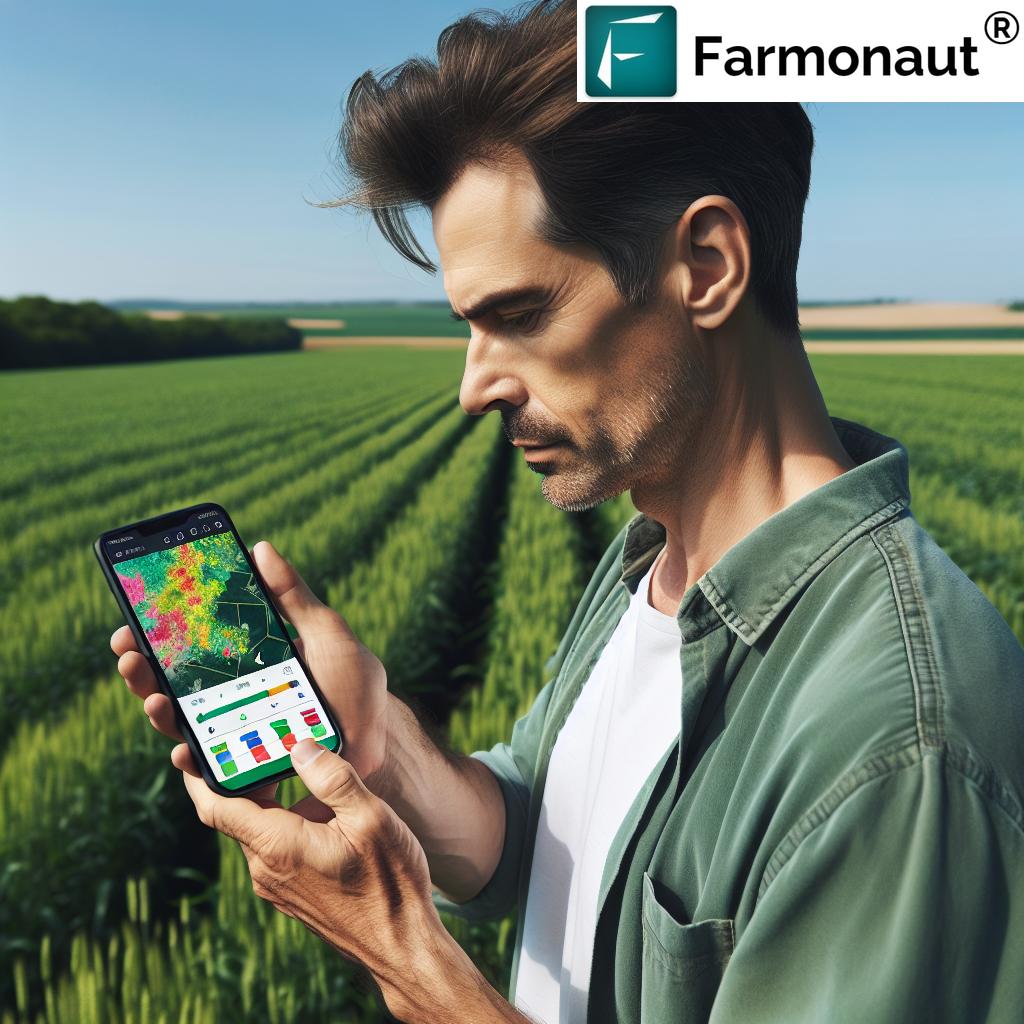
Enter Farmonaut’s cutting-edge mobile app, designed to take crop scouting to the next level. Our app combines the power of satellite technology, artificial intelligence, and user-friendly features to provide a comprehensive solution for modern farmers and agricultural professionals.
Key Features of Farmonaut’s Crop Scouting App
Let’s dive into the game-changing features that set our app apart:
- Field Reports: Easily create detailed reports on crop conditions, pest presence, and other vital observations directly from your mobile device.
- Satellite Insights: Access up-to-date satellite imagery of your fields, providing a bird’s-eye view of crop health and development.
- Performance Analysis: Utilize powerful analytical tools to track crop performance over time and make data-driven decisions.
- Task Management: Assign and track scouting tasks for your team, ensuring efficient coverage of your fields.
- Photo Integration: Capture and attach photos to your reports, providing visual evidence of field conditions.
- Offline Functionality: Continue scouting even in areas with poor connectivity, with data syncing once you’re back online.
Comparing Traditional Scouting to Farmonaut’s App
| Feature | Traditional Scouting | Farmonaut App |
|---|---|---|
| Data Collection | Manual note-taking, prone to errors | Digital input, photo integration, accurate GPS tracking |
| Satellite Integration | Not available | Real-time satellite imagery and analysis |
| Analysis Tools | Limited, often manual calculations | Advanced AI-powered analytics and insights |
| Task Management | Manual assignment and tracking | Digital task creation, assignment, and progress monitoring |
| Real-time Insights | Delayed, requires manual compilation | Instant access to field data and performance metrics |
The Power of Satellite Data in Crop Scouting
One of the most revolutionary aspects of our app is the integration of satellite data. By leveraging advanced satellite technology, we provide farmers with unprecedented insights into their fields. Here’s how satellite data enhances the scouting process:
- Comprehensive Field Overview: Satellite imagery offers a complete view of your fields, allowing you to identify problem areas quickly and efficiently.
- Vegetation Health Monitoring: Our app utilizes vegetation indices like NDVI (Normalized Difference Vegetation Index) to assess crop health across your entire field.
- Historical Data Analysis: Compare current field conditions with historical satellite data to track changes over time and identify trends.
- Weather Integration: Access weather data and forecasts directly within the app, helping you plan your scouting activities and make informed decisions.
Streamlining Field Reports and Observations
Gone are the days of scribbling notes on paper while trudging through fields. Our app simplifies the process of creating detailed field reports:
- Custom Templates: Create report templates tailored to your specific crops and scouting needs.
- GPS-Tagged Observations: Each observation is automatically tagged with precise GPS coordinates, allowing for accurate mapping and future reference.
- Photo Integration: Attach multiple photos to your reports, providing visual documentation of field conditions, pest presence, or crop issues.
- Voice-to-Text: Quickly add notes using voice-to-text functionality, perfect for when your hands are full.
- Offline Mode: Continue scouting even without an internet connection, with data syncing automatically when you’re back online.
Turning Data into Actionable Insights
Collecting data is only half the battle. Our app goes beyond simple data collection, offering powerful analysis tools to help you make sense of your observations:
- AI-Powered Recommendations: Receive personalized recommendations based on your field data, satellite insights, and regional agricultural trends.
- Performance Tracking: Monitor crop performance over time, identifying areas for improvement and celebrating successes.
- Pest and Disease Prediction: Utilize historical data and current conditions to predict potential pest and disease outbreaks, allowing for proactive management.
- Yield Estimation: Leverage satellite data and field observations to generate accurate yield estimations throughout the growing season.
Empowering Your Scouting Team
For larger operations, our app offers robust features to manage and coordinate your scouting team:
- Task Assignment: Easily create and assign scouting tasks to team members, ensuring comprehensive coverage of your fields.
- Real-Time Updates: Receive instant notifications when team members complete tasks or flag important issues.
- Collaborative Reporting: Allow multiple team members to contribute to a single report, providing a more comprehensive view of field conditions.
- Performance Tracking: Monitor the efficiency and effectiveness of your scouting team, identifying areas for improvement and training opportunities.
Integrating with Your Existing Systems
We understand that our app may not be the only tool in your agricultural toolkit. That’s why we’ve designed it to seamlessly integrate with other systems:
- API Access: Utilize our robust API to integrate Farmonaut’s data with your existing farm management software or other agricultural tools. Learn more about our API.
- Data Export: Easily export your scouting data in various formats for use in other applications or for reporting purposes.
- Third-Party Sensor Integration: Connect data from in-field sensors to provide even more comprehensive insights into your crop conditions.
Real-World Impact: Case Studies
While we don’t have specific case studies to share, we’ve seen firsthand the positive impact our app has had on farms of all sizes. Users have reported:
- Significant time savings in the scouting process
- More accurate and timely identification of crop issues
- Improved decision-making based on data-driven insights
- Better coordination among team members
- Increased crop yields and reduced input costs
Getting Started with Farmonaut’s Crop Scouting App
Ready to revolutionize your crop scouting process? Here’s how to get started:
- Download the App: Visit the Google Play Store or the Apple App Store to download Farmonaut’s mobile app.
- Create an Account: Sign up for a Farmonaut account directly within the app or on our website.
- Set Up Your Fields: Use our intuitive mapping tools to define your field boundaries.
- Customize Your Reports: Create custom report templates tailored to your specific crops and scouting needs.
- Start Scouting: Begin your first scouting session, leveraging the power of our app to streamline your observations and insights.
Pricing and Subscription Options
We offer flexible pricing options to suit farms and agribusinesses of all sizes. Choose the plan that best fits your needs:
The Future of Crop Scouting
At Farmonaut, we’re constantly innovating to stay at the forefront of agricultural technology. Here’s a glimpse of what’s on the horizon for our crop scouting app:
- Advanced AI-Powered Image Recognition: Automatically identify pests, diseases, and nutrient deficiencies from photos taken in the field.
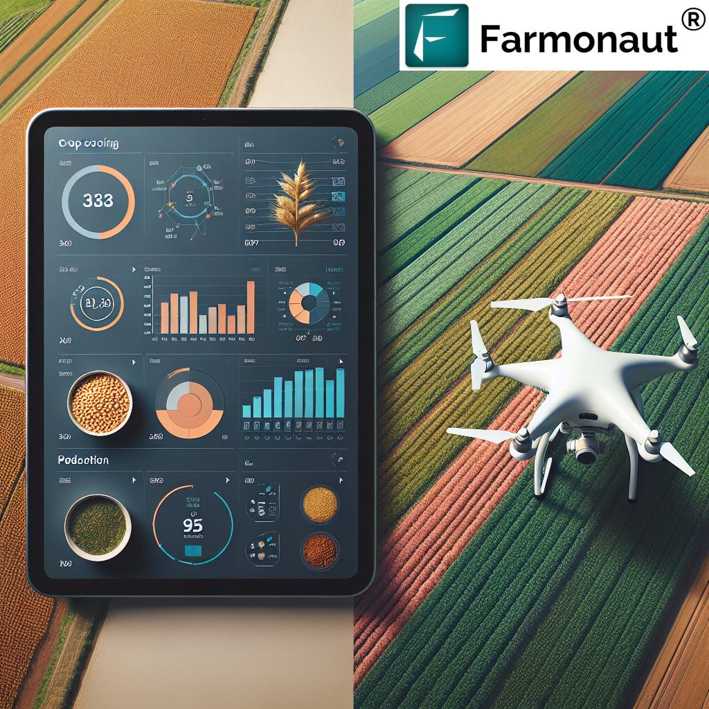
- Drone Integration: Incorporate data from drone surveys for even more detailed field insights.
- Predictive Analytics: Utilize machine learning algorithms to predict potential issues before they become visible to the naked eye.
- Virtual Reality Scouting: Explore your fields virtually, combining satellite data with on-the-ground observations for a truly immersive experience.
Frequently Asked Questions
Q: How accurate is the satellite data used in the app?
A: Our satellite data is highly accurate, with resolution down to 3 meters for certain imagery types. We use a combination of public and commercial satellite sources to ensure the most up-to-date and precise information.
Q: Can I use the app offline?
A: Yes, our app has robust offline functionality. You can continue scouting and creating reports even without an internet connection. Your data will automatically sync once you’re back online.
Q: How often is the satellite imagery updated?
A: The frequency of satellite imagery updates depends on your subscription level and location. Most areas receive updates every 3-5 days, with some premium plans offering daily updates for certain regions.
Q: Is my data secure?
A: Absolutely. We take data security very seriously. All data transmitted through our app is encrypted, and we adhere to strict privacy policies to protect your information.
Q: Can I integrate data from my own sensors or other farm management systems?
A: Yes, we offer API access that allows for integration with various third-party systems and sensors. Our development team can work with you to ensure smooth data flow between platforms.
Q: Is training available for my team?
A: We offer comprehensive training options, including video tutorials, live webinars, and personalized onboarding sessions for larger teams. Our support team is also available to answer any questions you may have.
Conclusion: Embrace the Future of Crop Scouting
In today’s fast-paced agricultural landscape, having the right tools can make all the difference. Farmonaut’s crop scouting app combines the power of satellite technology, artificial intelligence, and user-friendly design to revolutionize the way you monitor and manage your fields.
By streamlining the scouting process, providing actionable insights, and offering powerful analytical tools, our app empowers farmers and agribusinesses to make data-driven decisions that optimize crop health and yield. Whether you’re managing a small family farm or overseeing vast agricultural operations, Farmonaut’s crop scouting app is designed to meet your needs and drive your success.
Ready to take your crop scouting to the next level? Download our app today and experience the future of agriculture firsthand. Join the thousands of farmers and agricultural professionals who are already benefiting from Farmonaut’s innovative technology.
For more information on our satellite and weather API services, visit our developer documentation.
Transform your approach to crop management with Farmonaut. Together, we’re cultivating a smarter, more sustainable future for agriculture.