Revolutionizing Agriculture: Geospatial Intelligence for Precision Crop Monitoring and Sustainable Farm Management
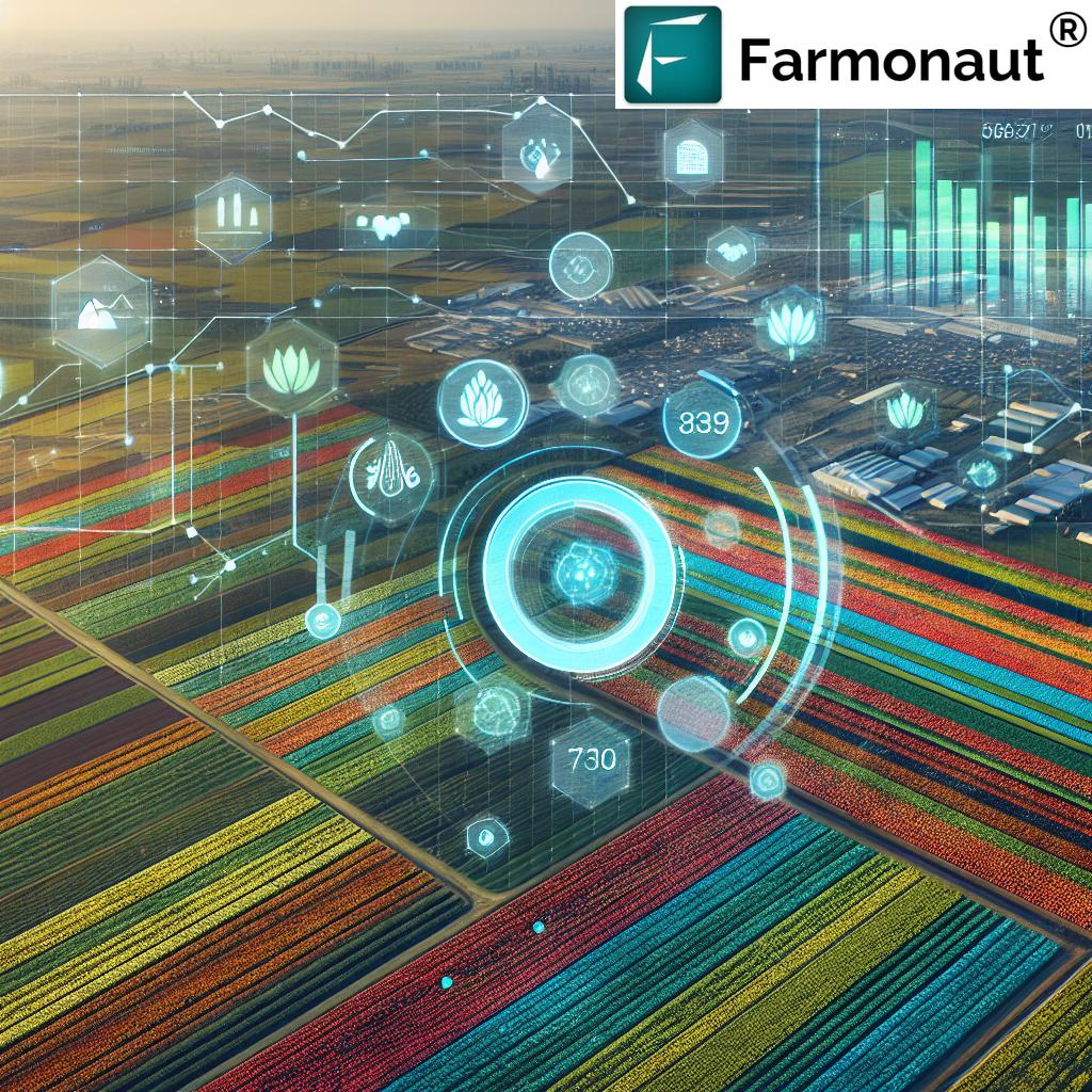
In the ever-evolving world of agriculture, we at Farmonaut are at the forefront of a technological revolution that is transforming the way we approach farming. By harnessing the power of geospatial intelligence, we are revolutionizing crop monitoring, soil analysis, and farm management practices. Our innovative solutions are not only enhancing productivity but also promoting sustainability in agriculture.
The Power of Geospatial Intelligence in Agriculture
Geospatial intelligence is a game-changer in modern agriculture. It involves the collection, analysis, and interpretation of data about the Earth’s surface, particularly as it relates to agricultural lands. At Farmonaut, we leverage this technology to provide farmers with unprecedented insights into their fields and crops.
Our satellite-based monitoring system offers a bird’s-eye view of farms, allowing for precise crop monitoring and analysis. This technology enables us to track crop health, predict yields, and identify potential issues before they become serious problems.
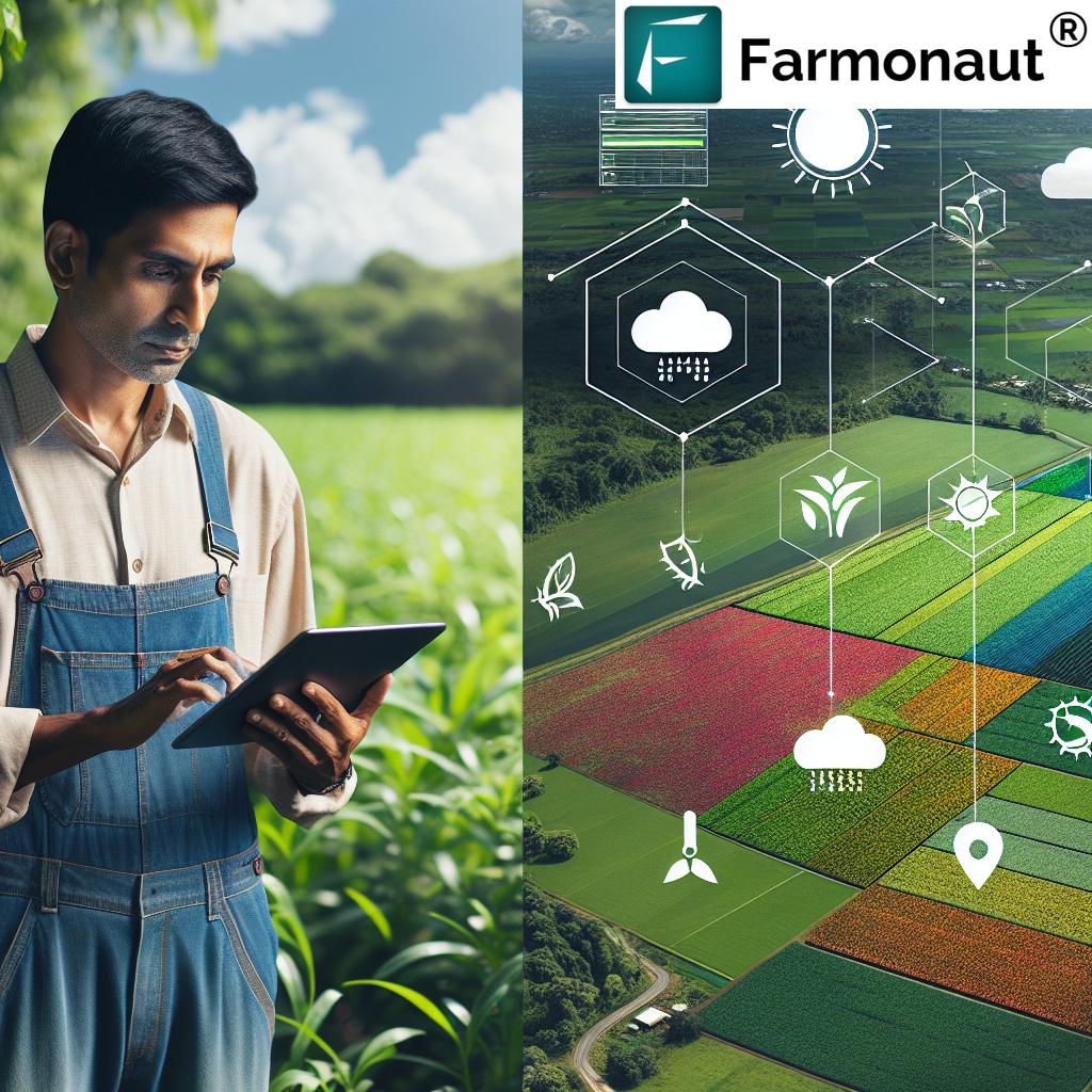
Precision Crop Monitoring: A New Era in Agriculture
Gone are the days when farmers had to rely solely on physical field visits to assess crop health. With our advanced crop monitoring system, we provide real-time data on crop conditions, growth stages, and potential stress factors.
- Vegetation Health Index (NDVI): We use Normalized Difference Vegetation Index (NDVI) to assess crop health and vigor. This index helps identify areas of stress or poor growth within fields.
- Early Stress Detection: Our system can detect signs of crop stress due to factors like pests, diseases, or nutrient deficiencies before they become visible to the naked eye.
- Growth Stage Monitoring: We track crop development through various growth stages, helping farmers time their interventions perfectly.
Soil Moisture Analysis: The Foundation of Healthy Crops
Understanding soil moisture levels is crucial for effective crop management. Our soil moisture monitoring capabilities provide farmers with valuable insights:
- Real-time Soil Moisture Data: We offer up-to-date information on soil moisture levels across different areas of the field.
- Irrigation Planning: Our data helps in optimizing irrigation schedules, ensuring crops receive the right amount of water at the right time.
- Drought Stress Prediction: By analyzing soil moisture trends, we can predict potential drought stress, allowing for preemptive action.
Advanced Analytics for Yield Prediction
Accurate yield prediction is essential for farm planning and management. Our advanced analytics combine various data points to provide reliable yield forecasts:
- Historical Data Analysis: We analyze past yield data along with current crop conditions to make informed predictions.
- Weather Integration: Our system incorporates weather forecasts to adjust yield predictions based on expected conditions.
- Machine Learning Models: We employ sophisticated machine learning algorithms to improve the accuracy of our yield predictions over time.
Precision Field Mapping and Boundary Detection
Accurate field mapping is the foundation of precision agriculture. Our geospatial intelligence tools offer:
- Precise Field Boundaries: We use high-resolution satellite imagery to accurately map field boundaries.
- Hectarage Calculation: Our system provides precise measurements of field sizes, essential for planning and resource allocation.
- Zonal Management: We help identify and map different management zones within fields for targeted interventions.
Weather Forecasting and Climate Analysis
Weather plays a crucial role in agriculture. Our weather forecasting capabilities include:
- Hyper-local Forecasts: We provide detailed weather predictions specific to your field location.
- Climate Trend Analysis: Our system analyzes long-term climate trends to help with crop selection and long-term planning.
- Extreme Weather Alerts: We send timely alerts for potential extreme weather events, allowing farmers to take preventive measures.
Sustainable Farm Management Practices
At Farmonaut, we’re committed to promoting sustainable agriculture. Our tools support various sustainable practices:
- Organic Carbon Monitoring: We help track soil organic carbon levels, crucial for soil health and carbon sequestration.
- Resource Optimization: Our precision agriculture tools help minimize the use of water, fertilizers, and pesticides.
- Biodiversity Mapping: We assist in identifying and preserving areas of high biodiversity within agricultural landscapes.
Integrating Geospatial Intelligence with Farm Operations
Our geospatial intelligence tools are designed to seamlessly integrate with various farm operations:
- Scouting Support: We provide targeted scouting recommendations based on satellite imagery analysis.
- Variable Rate Application (VRA): Our field maps support VRA technology for precise application of inputs.
- Harvest Planning: We offer insights to optimize harvesting schedules and logistics.
The Role of Remote Sensing in Modern Agriculture
Remote sensing technology is at the heart of our geospatial intelligence solutions. Here’s how we leverage it:
- Multi-spectral Imagery: We use various spectral bands to gather comprehensive data about crop and soil conditions.
- Temporal Analysis: By comparing images over time, we can track changes and trends in crop health and field conditions.
- High-Resolution Mapping: Our satellite imagery provides detailed views of agricultural landscapes, enabling precise analysis.
Agronomic Intelligence: Beyond Basic Monitoring
Our system goes beyond simple monitoring to provide actionable agronomic insights:
- Crop-Specific Advisories: We offer tailored recommendations based on crop type and growth stage.
- Pest and Disease Alerts: Our system can identify patterns indicative of pest infestations or disease outbreaks.
- Nutrient Management: We provide insights for optimizing fertilizer application based on crop needs and soil conditions.
Forestry and Agriculture: A Holistic Approach
Our geospatial intelligence tools aren’t limited to traditional agriculture. We also support forestry management:
- Forest Cover Mapping: We provide accurate mapping of forest areas and tree cover.
- Deforestation Monitoring: Our system can detect and alert about potential deforestation activities.
- Agroforestry Support: We offer tools to optimize agroforestry systems, combining trees with agricultural crops.
Traceability and Supply Chain Management
In today’s global market, traceability is increasingly important. Our geospatial intelligence supports supply chain transparency:
- Field-to-Fork Tracking: We enable tracing of agricultural products from their origin to the end consumer.
- Certification Support: Our data can be used to verify compliance with various certification standards.
- Quality Assurance: By tracking growing conditions, we help ensure the quality of agricultural products.
API Integration: Extending the Power of Geospatial Intelligence
We understand the importance of flexibility and integration in modern farming systems. That’s why we offer robust API solutions:
- Custom Integration: Our API allows seamless integration of our geospatial data into existing farm management systems.
- Real-time Data Access: Developers can access up-to-date satellite imagery and weather data through our API.
- Scalable Solutions: Our API is designed to handle requests from individual farms to large agricultural enterprises.
For more information on our API capabilities, visit Farmonaut Satellite API.
The Future of Agriculture: Embracing Geospatial Dynamics
As we look to the future, the role of geospatial intelligence in agriculture will only grow. At Farmonaut, we’re continuously innovating to stay ahead of the curve:
- AI and Machine Learning: We’re developing more sophisticated algorithms to provide even more accurate predictions and insights.
- IoT Integration: Our future plans include integrating data from IoT devices with our satellite-based monitoring for comprehensive farm intelligence.
- Climate Change Adaptation: We’re working on tools to help farmers adapt to changing climate patterns and extreme weather events.
Comparison: Traditional Farming vs. Farmonaut’s Geospatial Intelligence
| Feature | Traditional Method | Farmonaut Solution |
|---|---|---|
| Crop Monitoring | Visual inspection, periodic field visits | Real-time satellite imagery, NDVI analysis, AI-powered insights |
| Soil Moisture Analysis | Manual soil sampling, occasional moisture meters | Continuous satellite-based soil moisture monitoring, precise irrigation recommendations |
| Yield Prediction | Based on historical data and personal experience | Advanced analytics combining satellite data, weather forecasts, and machine learning models |
| Field Mapping | Manual surveying, approximate measurements | High-resolution satellite imagery for precise field boundaries and hectarage calculation |
| Weather Forecasting | Reliance on general regional forecasts | Hyper-local weather predictions, integration of climate data with crop monitoring |
Getting Started with Farmonaut
Ready to revolutionize your farming practices with geospatial intelligence? Here’s how you can get started:
- Visit our website at Farmonaut App to learn more about our services.
- Download our mobile app:
- For Android: Farmonaut on Google Play
- For iOS: Farmonaut on App Store
- Explore our API documentation at Farmonaut API Docs for custom integrations.
Subscribe to Farmonaut
Frequently Asked Questions (FAQ)
Q: How accurate is satellite-based crop monitoring?
A: Our satellite-based monitoring system provides highly accurate data, with resolution down to 10 meters. The accuracy of crop health assessments is continually improving with advancements in satellite technology and our AI algorithms.
Q: Can Farmonaut’s system work for small farms?
A: Absolutely! Our system is scalable and can provide valuable insights for farms of all sizes, from small holdings to large commercial operations.
Q: How often is the satellite data updated?
A: The frequency of updates depends on the specific service tier, but we typically provide updates every 3-5 days, weather permitting.
Q: Does Farmonaut offer services for organic farming?
A: Yes, our system is particularly valuable for organic farming. We provide insights on soil health, pest pressures, and crop health without relying on synthetic inputs.
Q: Can Farmonaut’s system integrate with my existing farm management software?
A: Yes, through our API, Farmonaut’s data can be integrated with many existing farm management platforms. Our team can assist with custom integrations as needed.
Q: How does Farmonaut handle data privacy and security?
A: We take data privacy very seriously. All farm data is securely stored and encrypted. We never share individual farm data without explicit permission from the farm owner.
Q: Is internet connectivity required to use Farmonaut’s services?
A: While internet connectivity enhances the real-time capabilities of our system, many features can work offline. Our mobile app is designed to function in areas with limited connectivity.
Q: Can Farmonaut’s system help with crop insurance claims?
A: Yes, our detailed crop health data and yield predictions can be valuable in supporting crop insurance claims, providing objective evidence of crop conditions over time.
Q: Does Farmonaut offer training on how to use its system?
A: Absolutely! We provide comprehensive training resources, including video tutorials, user guides, and webinars. Our customer support team is also available to assist users in getting the most out of our system.
Q: How does Farmonaut contribute to sustainable agriculture?
A: By providing precise data on crop needs, our system helps optimize resource use, reducing waste and environmental impact. We also support practices that promote soil health and biodiversity.
In conclusion, geospatial intelligence is revolutionizing agriculture, and Farmonaut is at the forefront of this transformation. By providing farmers with unprecedented insights into their crops, soil, and environmental conditions, we’re enabling more efficient, productive, and sustainable farming practices. From precision crop monitoring to advanced yield prediction, our tools are helping farmers make informed decisions that optimize their operations while promoting environmental stewardship.
As we continue to innovate and expand our capabilities, we remain committed to our mission of making advanced agricultural technology accessible to farmers worldwide. By harnessing the power of satellite imagery, AI, and big data analytics, we’re not just changing farming – we’re helping to secure a sustainable future for global agriculture.
Join us in this agricultural revolution. Embrace the power of geospatial intelligence with Farmonaut and take your farming to new heights. Together, we can build a more sustainable, productive, and resilient agricultural sector for generations to come.