Revolutionizing Agriculture: The Power of Geospatial Intelligence in Precision Farming
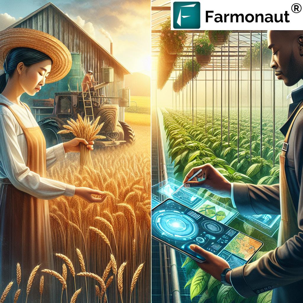
In the ever-evolving landscape of modern agriculture, we at Farmonaut are at the forefront of a technological revolution that is transforming the way we approach farming. Our cutting-edge satellite-powered geospatial intelligence solutions are reshaping the agricultural industry, offering unprecedented insights and capabilities to farmers, agribusinesses, and policymakers alike. In this comprehensive exploration, we’ll delve into the myriad ways in which our advanced technologies are revolutionizing crop monitoring, yield prediction, and overall farm management.
The Evolution of Agricultural Technology
Agriculture has come a long way from its humble beginnings. From the invention of the plow to the Green Revolution, each technological advancement has significantly increased our ability to produce food and manage natural resources. Today, we stand on the brink of another major leap forward, one that harnesses the power of satellites, artificial intelligence, and big data analytics to bring unprecedented precision and efficiency to farming practices.
Understanding Geospatial Intelligence in Agriculture
Geospatial intelligence, in the context of agriculture, refers to the use of satellite imagery, GPS technology, and advanced data analytics to gather, analyze, and interpret information about the Earth’s surface as it relates to farming. This technology allows us to:
- Monitor crop health and growth patterns
- Assess soil conditions and moisture levels
- Predict yields with greater accuracy
- Detect pest infestations and disease outbreaks
- Optimize resource allocation and management
At Farmonaut, we’ve harnessed these capabilities to create a suite of powerful tools that are changing the face of modern agriculture.
The Farmonaut Advantage: Precision Crop Monitoring
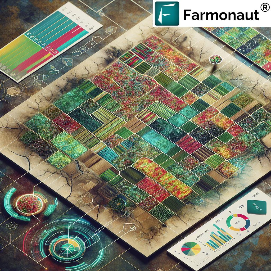
One of the core strengths of our platform lies in its ability to provide real-time, high-resolution crop monitoring. Through advanced satellite imagery and our proprietary algorithms, we offer farmers an unprecedented view of their fields.
Vegetation Health Assessment
Our system uses various vegetation indices, such as the Normalized Difference Vegetation Index (NDVI), to assess crop health. This allows farmers to:
- Identify areas of stress or poor growth
- Detect nutrient deficiencies
- Monitor crop development stages
- Make informed decisions about irrigation and fertilization
Soil Moisture Mapping
Understanding soil moisture levels is crucial for effective water management. Our satellite-based soil moisture mapping provides:
- Accurate, field-level moisture data
- Insights for optimizing irrigation schedules
- Early warning for potential drought stress
- Tools for water conservation and sustainable water use
Pest and Disease Detection
Early detection of pests and diseases can save entire harvests. Our advanced image analysis techniques help in:
- Identifying potential pest infestations
- Detecting signs of crop diseases
- Enabling targeted and timely interventions
- Reducing the need for widespread pesticide use
Yield Prediction: Harnessing the Power of Data
Accurate yield prediction is a game-changer in agriculture. It allows for better planning, resource allocation, and market strategies. Our yield prediction models integrate multiple data sources, including:
- Historical yield data
- Current crop health information
- Weather forecasts
- Soil condition assessments
By analyzing this wealth of data, we provide farmers with:
- Highly accurate yield forecasts
- Early warnings about potential yield-impacting factors
- Insights for optimizing harvest timing
- Tools for better crop marketing and financial planning
Precision Agriculture: Optimizing Resource Use
Precision agriculture is about doing more with less – maximizing yields while minimizing resource use. Our platform enables precise, targeted interventions through:
Variable Rate Application (VRA) Maps
We generate detailed VRA maps that allow farmers to:
- Apply fertilizers and pesticides only where needed
- Optimize seed planting densities
- Reduce waste and environmental impact
- Improve overall crop uniformity and quality
Irrigation Management
Our irrigation management tools help in:
- Identifying areas requiring more or less water
- Scheduling irrigation based on real-time soil moisture data
- Reducing water waste and improving water use efficiency
- Preventing over-irrigation and associated issues like nutrient leaching
Climate-Smart Agriculture and Sustainability
In an era of climate change, sustainable farming practices are more important than ever. Our platform contributes to climate-smart agriculture by:
- Monitoring carbon sequestration in soils
- Tracking greenhouse gas emissions from agricultural activities
- Providing data for carbon credit programs
- Enabling more efficient use of resources, reducing overall environmental impact
Beyond Crop Monitoring: Expanding Agricultural Applications
While crop monitoring and yield prediction are at the core of our services, our geospatial intelligence platform has applications that extend far beyond these areas:
Forestry Management
Our technology is equally valuable in forestry, helping to:
- Monitor forest health and detect deforestation
- Assess wildfire risks and track fire damage
- Plan sustainable logging operations
- Support reforestation efforts
Land Use Classification
Our advanced image classification algorithms assist in:
- Mapping different types of land use
- Monitoring changes in land use over time
- Supporting urban planning and agricultural zoning decisions
- Assessing the impact of agricultural expansion on natural habitats
Disaster Assessment and Management
In the face of natural disasters, our platform provides crucial support by:
- Rapidly assessing crop damage after floods, storms, or droughts
- Providing data for insurance claims and disaster relief efforts
- Helping in the planning of recovery and replanting efforts
- Monitoring long-term impacts on agricultural productivity
The Role of Artificial Intelligence and Machine Learning
At the heart of our geospatial intelligence platform lies sophisticated AI and machine learning algorithms. These technologies enable us to:
- Process vast amounts of satellite imagery quickly and accurately
- Identify patterns and trends that might be invisible to the human eye
- Continuously improve our prediction models with each new data point
- Provide increasingly personalized and accurate insights for each farm
Data Integration and Analytics
The true power of our platform comes from its ability to integrate and analyze data from multiple sources:
Weather Data Integration
We incorporate high-resolution weather data to:
- Provide accurate, localized weather forecasts
- Assess the impact of weather patterns on crop growth
- Alert farmers to potential weather-related risks
- Optimize timing for planting, harvesting, and other farm operations
Historical Data Analysis
By analyzing historical data, we offer:
- Insights into long-term trends in crop performance
- Recommendations for crop rotation and diversification
- Tools for assessing the effectiveness of different farming practices over time
- Support for long-term farm planning and strategy development
Empowering Decision-Making Across the Agricultural Sector
Our geospatial intelligence platform isn’t just for farmers. It provides valuable insights for a wide range of stakeholders in the agricultural sector:
Agribusinesses
Large-scale agricultural operations benefit from:
- Comprehensive farm management tools
- Supply chain optimization insights
- Risk assessment and management capabilities
- Tools for ensuring compliance with sustainability standards
Government Agencies
Policy makers and agricultural departments can use our platform for:
- Crop area estimation and yield forecasting at regional or national levels
- Monitoring the effectiveness of agricultural policies and subsidies
- Assessing food security and planning interventions
- Environmental impact assessment of agricultural practices
Financial Institutions
Banks and insurance companies leverage our data for:
- Risk assessment in agricultural lending
- Crop insurance policy development and claim verification
- Investment decision support in the agricultural sector
- Monitoring of collateral in agricultural loans
The Future of Agriculture: Towards a Data-Driven, Sustainable Future
As we look to the future, the role of geospatial intelligence in agriculture will only grow. We at Farmonaut are committed to staying at the forefront of this technological revolution, continuously innovating to provide even more powerful and insightful tools for the agricultural community.
Emerging Technologies
We’re actively exploring and integrating new technologies such as:
- Hyperspectral imaging for even more detailed crop analysis
- Integration with IoT devices for real-time, ground-level data collection
- Advanced predictive modeling using quantum computing
- Blockchain technology for improved traceability and transparency in the food supply chain
Addressing Global Challenges
Our technology has the potential to play a crucial role in addressing some of the most pressing global challenges:
- Enhancing food security in the face of population growth
- Mitigating the impacts of climate change on agriculture
- Reducing the environmental footprint of farming practices
- Supporting sustainable development in rural communities
Comparison: Traditional Farming vs. Farmonaut’s Geospatial Intelligence
| Features | Traditional Methods | Farmonaut’s Geospatial Intelligence |
|---|---|---|
| Crop Monitoring | Manual field inspections, time-consuming and labor-intensive | Real-time satellite imagery, AI-powered analysis, comprehensive coverage |
| Soil Analysis | Periodic soil sampling, limited spatial resolution | Continuous monitoring, high-resolution soil moisture maps, nutrient analysis |
| Yield Prediction | Based on historical averages and subjective assessments | Advanced models integrating multiple data sources, high accuracy |
| Pest Detection | Visual inspection, often reactive | Early detection through spectral analysis, proactive management |
| Weather Integration | Reliance on general forecasts | Field-specific weather data and impact analysis |
| Precision Application | Uniform application of inputs across fields | Variable Rate Application maps for targeted resource use |
| Data-Driven Decision Making | Limited data, often intuition-based decisions | Comprehensive data analytics for informed decision-making |
| Sustainability Metrics | Difficult to measure and track | Detailed monitoring of environmental impact and resource use efficiency |
| Time Efficiency | Time-consuming manual processes | Rapid, automated analysis saving significant time |
| Cost-Effectiveness | High labor costs, potential for over-application of inputs | Optimized resource use, reduced waste, improved overall efficiency |
Conclusion: Embracing the Future of Agriculture
The integration of geospatial intelligence into agriculture represents a paradigm shift in how we approach farming. At Farmonaut, we’re proud to be at the forefront of this revolution, providing tools and insights that empower farmers, agribusinesses, and policymakers to make better, more informed decisions.
As we continue to innovate and expand our capabilities, we remain committed to our core mission: making precision agriculture accessible and affordable for farmers worldwide. By harnessing the power of satellite technology, AI, and big data analytics, we’re not just improving farm productivity and profitability – we’re contributing to a more sustainable, resilient, and food-secure future for all.
Join us in this exciting journey towards a smarter, more sustainable agriculture. Explore our platform, leverage our insights, and be part of the agricultural revolution that’s shaping the future of farming.
Ready to transform your farming practices? Try Farmonaut today and experience the power of geospatial intelligence in agriculture.
FAQs
- Q: How accurate is satellite-based crop monitoring?
A: Our satellite-based crop monitoring is highly accurate, with resolution capabilities down to 3 meters. The integration of multiple data sources and advanced AI algorithms further enhances the accuracy of our insights. - Q: Can Farmonaut’s technology be used for all types of crops?
A: Yes, our technology is versatile and can be applied to a wide range of crops, from grains and vegetables to tree crops and plantation agriculture. - Q: How often is the satellite data updated?
A: The frequency of updates depends on the subscription plan, but we offer options for daily, weekly, and bi-weekly updates to suit different needs and budgets. - Q: Is Farmonaut’s platform suitable for small-scale farmers?
A: Absolutely. We’ve designed our platform to be scalable and affordable, making precision agriculture accessible to farmers of all sizes, from small family farms to large commercial operations. - Q: How does Farmonaut contribute to sustainable farming practices?
A: By optimizing resource use, reducing waste, and providing insights for better farm management, our platform directly contributes to more sustainable farming practices. We also offer specific tools for monitoring environmental impact and carbon sequestration. - Q: Can Farmonaut’s data be integrated with other farm management software?
A: Yes, we offer API access that allows for seamless integration with other farm management tools and software. For more information, check our API documentation. - Q: How does weather data integration work in Farmonaut’s platform?
A: We incorporate high-resolution weather data and forecasts, which are then analyzed alongside our satellite imagery to provide comprehensive insights into how weather patterns are affecting crop health and growth. - Q: Is training required to use Farmonaut’s platform?
A: While our platform is designed to be user-friendly, we offer comprehensive training and support to ensure that users can fully leverage all the features and insights available. - Q: How does Farmonaut ensure data privacy and security?
A: We take data privacy and security very seriously. All data is encrypted, and we adhere to strict data protection protocols to ensure the confidentiality and integrity of our users’ information. - Q: Can Farmonaut’s technology be used for purposes other than agriculture?
A: While our primary focus is agriculture, our geospatial intelligence technology has applications in various fields, including forestry, land use planning, and environmental monitoring.
For more information and to start your journey with Farmonaut, visit our website or download our app:
Ready to subscribe to Farmonaut? Choose your plan below: