Unlocking Crop Health: How Water Vapor Satellite Imagery Revolutionizes Precision Agriculture
In the ever-evolving landscape of precision agriculture, we at Farmonaut are constantly exploring innovative technologies to empower farmers and revolutionize crop management. One such groundbreaking tool that has captured our attention is water vapor satellite imagery. This powerful resource is transforming the way we monitor and understand crop health, offering unprecedented insights into atmospheric conditions that directly impact agricultural productivity.
Understanding Water Vapor Imagery
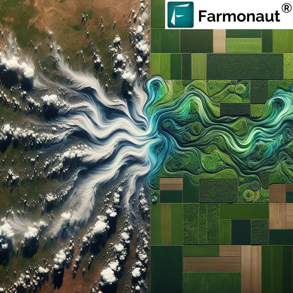
Water vapor imagery, also known as water vapor satellite imagery, is a specialized form of remote sensing that provides a unique perspective on atmospheric moisture content. Unlike visible light imagery, water vapor imagery captures the presence and movement of water vapor in the upper and middle levels of the atmosphere.
- Detects moisture in the atmosphere
- Highlights areas of high and low humidity
- Tracks atmospheric circulation patterns
The Science Behind Water Vapor Imagery Satellites
Satellites equipped with infrared sensors are the primary tools for capturing water vapor imagery satellite data. These sensors detect the emission of long-wave radiation from water vapor in the atmosphere. The resulting images provide a wealth of information about:
- Atmospheric moisture distribution
- Cloud formations and potential precipitation
- Air mass boundaries and frontal systems
- Jet streams and upper-level wind patterns
Applications of Water Vapor Satellite Imagery in Agriculture
At Farmonaut, we recognize the immense potential of water vapor satellite imagery in enhancing precision agriculture practices. Here’s how this technology is making a difference:
1. Improved Weather Forecasting
By analyzing water vapor imagery, we can provide farmers with more accurate short-term and medium-range weather forecasts. This enables better planning for:
- Planting and harvesting schedules
- Irrigation timing
- Pest and disease management
2. Drought Monitoring and Management
Water vapor imagery satellite data allows us to track atmospheric moisture levels over large areas, helping to identify and monitor drought conditions. This information is crucial for:
- Early drought detection
- Assessing drought severity and extent
- Implementing timely mitigation strategies
3. Crop Stress Detection
By combining water vapor satellite imagery with other remote sensing data, we can identify areas where crops may be experiencing stress due to moisture deficits or excesses. This enables:
- Targeted irrigation interventions
- Optimized fertilizer application
- Early pest and disease management
4. Yield Prediction and Crop Insurance
The insights gained from water vapor imagery contribute to more accurate yield predictions and risk assessments. This benefits:
- Farmers in planning their harvest and market strategies
- Insurance companies in assessing and managing agricultural risks
- Policymakers in food security planning
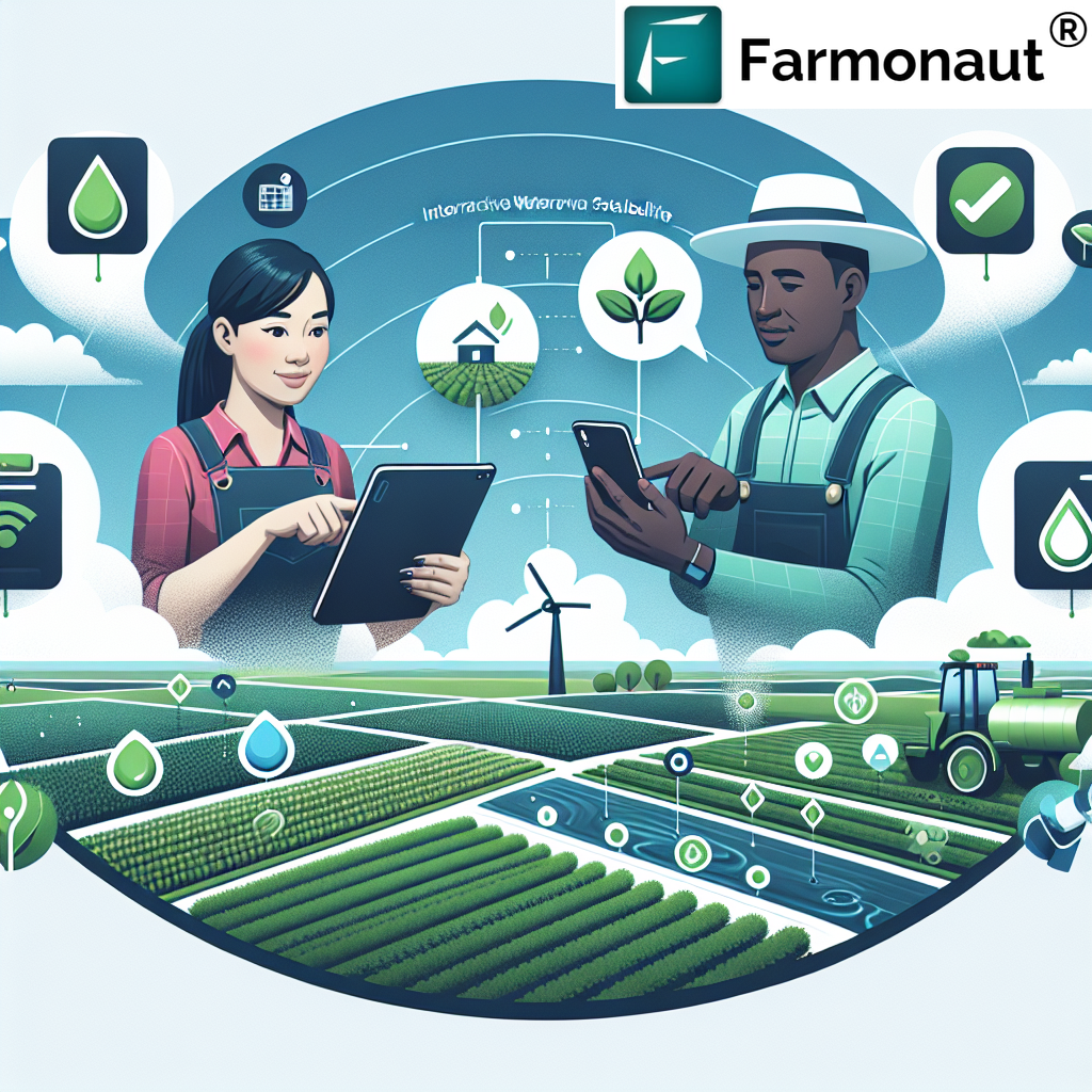
Farmonaut’s Integration of Water Vapor Satellite Imagery
At Farmonaut, we’ve seamlessly integrated water vapor satellite imagery into our suite of precision agriculture tools. Our platform combines this data with other satellite-based observations and on-ground sensors to provide a comprehensive view of crop health and environmental conditions.
Key Features of Our Water Vapor Imagery Integration:
- Real-time atmospheric moisture monitoring
- Custom alerts for significant changes in moisture levels
- Integration with our AI-powered crop advisory system
- Historical data analysis for long-term planning
To experience the power of our integrated satellite imagery solutions, including water vapor data, visit our Farmonaut app.
The Advantages of Satellite-Based Monitoring
While drone and IoT-based farm monitoring systems have their merits, satellite-based solutions like those offered by Farmonaut provide distinct advantages, especially when it comes to water vapor imagery and large-scale monitoring:
| Feature | Farmonaut Satellite System | Drone-based Monitoring | IoT-based Monitoring |
|---|---|---|---|
| Coverage Area | Global | Limited by flight range | Limited by sensor placement |
| Data Collection Frequency | Daily to weekly | As needed, weather-dependent | Continuous, but localized |
| Initial Setup Cost | Low | High (equipment purchase) | Moderate to High |
| Maintenance Requirements | Minimal | Regular (battery, repairs) | Periodic (battery, calibration) |
| Scalability | Highly scalable | Limited by equipment and operators | Requires additional sensors for expansion |
| Water Vapor Imagery Capability | Advanced | Limited or None | None |
Case Studies: Water Vapor Imagery in Action
To illustrate the practical applications of water vapor satellite imagery in agriculture, let’s explore a few hypothetical scenarios where this technology has made a significant impact:
1. Drought Mitigation in the Midwest
In a recent growing season, our water vapor imagery satellite data indicated a developing drought pattern across several Midwestern states. By alerting farmers early, we enabled them to:
- Adjust irrigation schedules to conserve water
- Select drought-resistant crop varieties for late plantings
- Implement soil moisture conservation techniques
The result was a significant reduction in crop losses compared to previous drought years.
2. Precision Irrigation in California Vineyards
California vineyard managers using our platform leveraged water vapor imagery to optimize their irrigation practices. By combining this data with soil moisture sensors, they were able to:
- Reduce water usage by 20% without impacting grape quality
- Identify and address microclimates within their vineyards
- Improve overall wine grape yields and quality
3. Crop Disease Prevention in the Southeast
In the humid southeastern United States, our water vapor satellite imagery helped farmers predict and prevent fungal disease outbreaks. By monitoring atmospheric moisture levels, farmers could:
- Time fungicide applications more effectively
- Reduce overall pesticide use by 15%
- Improve crop health and yield in high-humidity conditions
The Future of Water Vapor Imagery in Agriculture
As we continue to refine our use of water vapor imagery satellite data, we anticipate several exciting developments:
- Integration with machine learning for more accurate crop yield predictions
- Enhanced resolution and frequency of water vapor data collection
- Improved models for linking atmospheric moisture to specific crop health indicators
- Development of crop-specific water vapor thresholds for optimal growth
These advancements will further empower farmers to make data-driven decisions and optimize their agricultural practices.
Accessing Farmonaut’s Water Vapor Imagery Tools
We’re excited to offer our cutting-edge water vapor satellite imagery tools to farmers, agronomists, and agricultural businesses worldwide. Here’s how you can access our services:
- Download our mobile app:
- Explore our API services for custom integrations
- Check out our developer documentation for technical details
Subscription Options
To take full advantage of our water vapor imagery and other precision agriculture tools, consider subscribing to Farmonaut:
Conclusion
The integration of water vapor satellite imagery into precision agriculture represents a significant leap forward in our ability to understand and manage crop health. At Farmonaut, we’re committed to harnessing this powerful technology to help farmers around the world increase yields, reduce resource use, and build more resilient agricultural systems.
By combining water vapor imagery with our suite of satellite-based monitoring tools and AI-driven insights, we’re empowering farmers to make more informed decisions, adapt to changing climate conditions, and optimize their operations for sustainable success.
Join us in embracing the future of agriculture, where the power of water vapor imagery satellite data helps us cultivate a more productive and sustainable world.
FAQs
- Q: What is water vapor satellite imagery?
A: Water vapor satellite imagery is a type of remote sensing that captures the presence and movement of water vapor in the atmosphere using infrared sensors on satellites. - Q: How does water vapor imagery benefit agriculture?
A: It improves weather forecasting, enables drought monitoring, helps detect crop stress, and contributes to more accurate yield predictions. - Q: Can water vapor imagery replace on-ground sensors?
A: While it provides valuable large-scale data, it works best when combined with on-ground sensors for comprehensive farm monitoring. - Q: How often is water vapor imagery updated?
A: Depending on the satellite system, updates can range from hourly to daily. - Q: Is water vapor imagery affected by cloud cover?
A: Unlike visible light imagery, water vapor imagery can penetrate some cloud cover, providing valuable data even in cloudy conditions. - Q: How does Farmonaut integrate water vapor imagery into its platform?
A: We combine water vapor data with other satellite imagery and on-ground sensor data to provide comprehensive crop health and weather insights through our app and API services. - Q: Can small-scale farmers benefit from water vapor imagery?
A: Yes, through platforms like Farmonaut, small-scale farmers can access and benefit from water vapor imagery data without needing to invest in expensive equipment. - Q: How accurate is yield prediction using water vapor imagery?
A: When combined with other data sources and AI analysis, water vapor imagery significantly improves the accuracy of yield predictions compared to traditional methods. - Q: Does water vapor imagery work for all crop types?
A: While beneficial for most crops, its effectiveness can vary. We’re continually researching to optimize its application across different crop types. - Q: How can I start using water vapor imagery for my farm?
A: You can start by downloading the Farmonaut app or exploring our API services to integrate water vapor imagery data into your existing farm management systems.