Decoding Cloud Patterns: Analyzing Satellite Images of Clouds Over India for Agricultural Insights
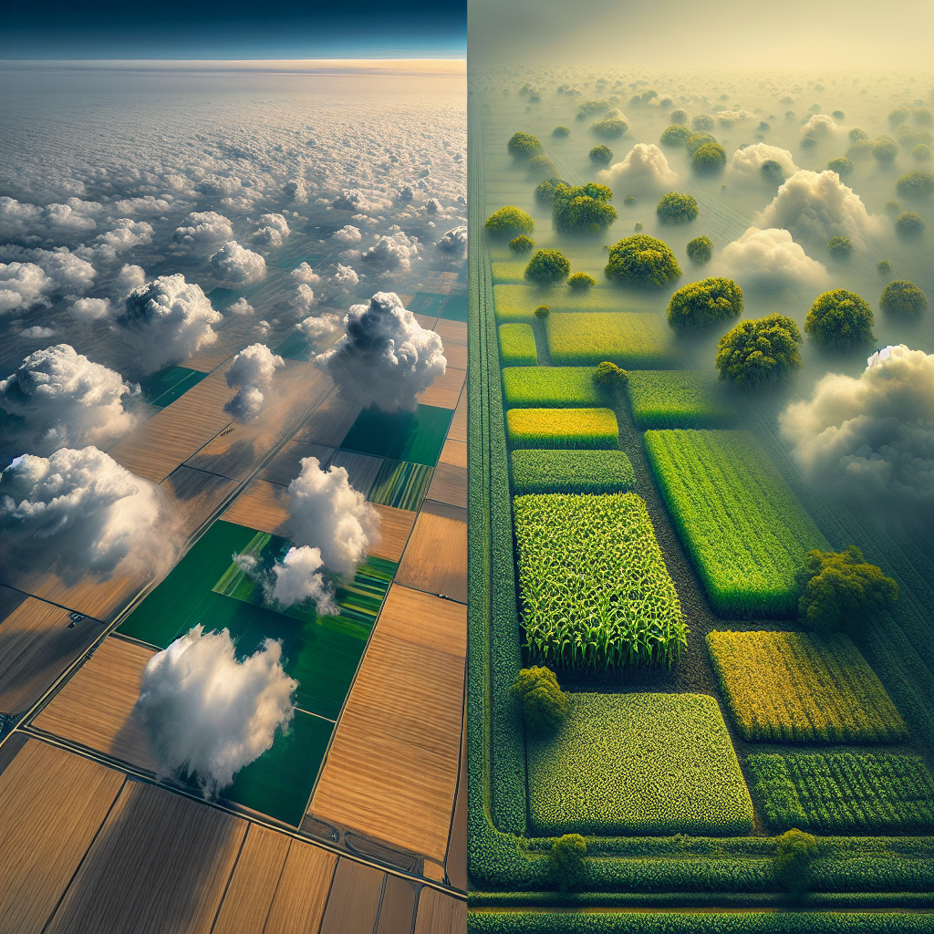
In the ever-evolving world of agriculture, understanding weather patterns is crucial for successful crop management. At Farmonaut, we recognize the importance of satellite images of clouds over India in providing valuable insights for farmers and agricultural professionals. In this comprehensive blog post, we’ll delve deep into the world of satellite images clouds and explore how understanding clouds from satellite images can revolutionize farming practices.
The Importance of Cloud Monitoring in Agriculture
Before we dive into the intricacies of satellite imagery, let’s first understand why cloud monitoring is so crucial for agriculture:
- Rainfall prediction
- Temperature regulation
- Crop health assessment
- Irrigation planning
- Pest and disease management
By leveraging satellite images of clouds over India, farmers can make informed decisions about their crops, leading to improved yields and more sustainable farming practices.
The Science Behind Satellite Images of Clouds
Understanding clouds from satellite images requires a grasp of the technology and science involved. Satellites equipped with various sensors capture images of Earth’s surface and atmosphere. These images are then processed and analyzed to extract valuable information about cloud formations, atmospheric conditions, and weather patterns.
Types of Satellites Used for Cloud Imaging
Several types of satellites are employed to capture satellite images clouds:
- Geostationary satellites
- Polar-orbiting satellites
- Weather satellites
- Earth observation satellites
Each type of satellite offers unique advantages in terms of coverage, resolution, and frequency of imagery.
Spectral Bands and Cloud Detection
Satellites use different spectral bands to capture various aspects of clouds and the atmosphere. These include:
- Visible light bands
- Near-infrared bands
- Thermal infrared bands
- Microwave bands
By analyzing data from these different bands, we can gain a comprehensive understanding of cloud properties, such as thickness, height, and composition.
Interpreting Satellite Images of Clouds Over India
Now that we’ve covered the basics, let’s focus on understanding clouds from satellite images specifically over India. The Indian subcontinent experiences diverse weather patterns, making it an fascinating case study for cloud analysis.
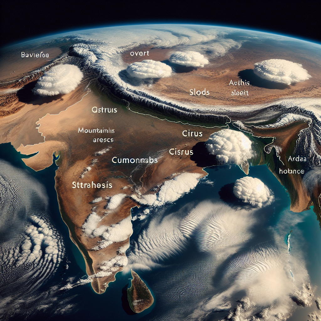
Common Cloud Patterns in India
When analyzing satellite images of clouds over India, several distinct patterns emerge:
- Monsoon clouds: Characterized by large, dense cloud formations that bring heavy rainfall
- Convective clouds: Typically seen during hot, humid conditions and associated with thunderstorms
- Cirrus clouds: High-altitude, wispy clouds often indicative of changing weather patterns
- Stratus clouds: Low-lying, uniform cloud layers that can bring light precipitation
- Cumulonimbus clouds: Towering clouds associated with severe weather and heavy rainfall
Seasonal Variations in Cloud Patterns
India’s diverse climate leads to significant seasonal variations in cloud patterns:
- Summer (March-May): Increased convective activity, leading to localized thunderstorms
- Monsoon (June-September): Widespread cloud cover and heavy rainfall across much of the country
- Post-monsoon (October-November): Gradual reduction in cloud cover, with occasional cyclonic activity
- Winter (December-February): Generally clear skies, with some cloud cover in northern regions
Leveraging Satellite Cloud Images for Agricultural Decision-Making
At Farmonaut, we believe that understanding clouds from satellite images can significantly enhance agricultural practices. Here’s how farmers and agricultural professionals can use this information:
1. Rainfall Prediction and Water Management
By analyzing satellite images of clouds over India, we can predict rainfall patterns with greater accuracy. This information allows farmers to:
- Plan irrigation schedules more effectively
- Prepare for potential flooding or water scarcity
- Optimize water usage and reduce waste
2. Crop Selection and Planting Decisions
Cloud patterns and associated weather conditions play a crucial role in determining suitable crops for a given region. Farmers can use satellite imagery to:
- Select crops that are well-suited to local climate conditions
- Time planting to coincide with favorable weather patterns
- Adjust crop rotation strategies based on long-term weather trends
3. Pest and Disease Management
Certain cloud patterns and weather conditions can increase the likelihood of pest infestations or disease outbreaks. By monitoring satellite images clouds, farmers can:
- Anticipate potential pest or disease problems
- Implement preventive measures proactively
- Time pesticide or fungicide applications more effectively
4. Harvest Planning and Crop Protection
Cloud cover and associated weather conditions can significantly impact harvest timing and crop quality. Satellite imagery helps farmers:
- Determine optimal harvest dates
- Prepare for potential weather-related risks to crops
- Implement protective measures (e.g., setting up shade nets or windbreaks)
Farmonaut’s Approach to Satellite-Based Cloud Analysis
At Farmonaut, we’ve developed advanced technologies to harness the power of satellite images of clouds over India for agricultural applications. Our approach includes:
1. Advanced Image Processing Techniques
We utilize cutting-edge algorithms to process and analyze satellite images clouds, extracting valuable information about cloud properties and weather patterns.
2. Integration with Weather Data
Our system combines satellite imagery with ground-based weather data to provide more accurate and localized weather predictions.
3. Machine Learning and AI
We employ machine learning models to identify patterns and trends in cloud formations, improving our ability to forecast weather conditions and their potential impact on crops.
4. User-Friendly Visualization Tools
Our platform presents complex satellite data in easy-to-understand visual formats, allowing farmers to quickly grasp important weather-related insights.
Comparison: Farmonaut Satellite System vs. Drone and IoT-Based Farm Monitoring
| Feature | Farmonaut Satellite System | Drone-Based Monitoring | IoT-Based Monitoring |
|---|---|---|---|
| Coverage Area | Large-scale (regional to global) | Limited (local) | Limited (field-specific) |
| Frequency of Updates | Daily to weekly | On-demand (manual flights) | Real-time or near real-time |
| Initial Setup Cost | Low | High (equipment purchase) | Moderate to high (sensors and network) |
| Operational Complexity | Low (cloud-based system) | High (requires trained operators) | Moderate (maintenance of sensors) |
| Weather Dependency | Low (can penetrate clouds) | High (affected by wind, rain) | Low to moderate |
| Data Processing | Automated (AI-driven) | Manual or semi-automated | Automated |
| Scalability | Highly scalable | Limited scalability | Moderate scalability |
Case Studies: Successful Implementation of Satellite-Based Cloud Analysis
To illustrate the practical benefits of understanding clouds from satellite images, let’s examine some real-world examples of how farmers have leveraged this technology:
Case Study 1: Optimizing Irrigation in Water-Stressed Regions
In a drought-prone area of Maharashtra, farmers used Farmonaut’s satellite-based cloud analysis to:
- Identify periods of likely rainfall
- Adjust irrigation schedules accordingly
- Reduce water usage by 25% while maintaining crop yields
Case Study 2: Mitigating Crop Damage from Extreme Weather
Rice farmers in West Bengal utilized our cloud monitoring system to:
- Predict the onset of heavy monsoon rains
- Implement flood prevention measures in advance
- Reduce crop losses by 40% compared to previous years
Case Study 3: Improving Pest Management in Fruit Orchards
Apple growers in Himachal Pradesh leveraged satellite cloud imagery to:
- Anticipate periods of high humidity conducive to fungal growth
- Time fungicide applications more effectively
- Reduce fungicide usage by 30% while improving fruit quality
Future Developments in Satellite-Based Cloud Analysis for Agriculture
As technology continues to advance, we anticipate several exciting developments in the field of satellite images clouds for agricultural applications:
1. Higher Resolution Imagery
Improvements in satellite technology will allow for even more detailed cloud analysis, providing farmers with more accurate and localized weather predictions.
2. Integration with IoT Devices
Combining satellite data with ground-based sensors will create a more comprehensive picture of local weather conditions and their impact on crops.
3. Advanced AI and Machine Learning Models
More sophisticated algorithms will enable better pattern recognition and predictive capabilities, further enhancing the value of satellite-based cloud analysis.
4. Customized Crop-Specific Insights
As our understanding of the relationship between cloud patterns and crop health improves, we’ll be able to provide more tailored recommendations for specific crops and regions.
How Farmonaut is Revolutionizing Agriculture with Satellite Technology
At Farmonaut, we’re committed to making precision agriculture accessible and affordable for farmers worldwide. Our satellite-based farm management solutions go beyond cloud analysis to provide a comprehensive suite of tools for modern agriculture:
1. Real-Time Crop Health Monitoring
Our platform uses multispectral satellite imagery to assess vegetation health, soil moisture levels, and other critical metrics. This allows farmers to make informed decisions about irrigation, fertilizer usage, and pest management.
2. AI-Powered Advisory System
Our Jeevn AI system provides personalized farm advice based on satellite data, weather forecasts, and expert knowledge. This helps farmers optimize their crop management strategies and improve overall productivity.
3. Blockchain-Based Traceability
We’ve integrated blockchain technology to ensure transparency and security in agricultural supply chains. This feature is particularly valuable for industries requiring product traceability from farm to consumer.
4. Resource Management Tools
Our platform includes tools for fleet management and resource optimization, helping agribusinesses reduce operational costs and improve efficiency.
5. Carbon Footprint Tracking
To support sustainable farming practices, we offer carbon footprint monitoring capabilities. This allows businesses to track and reduce their environmental impact over time.
Getting Started with Farmonaut
Ready to harness the power of satellite technology for your agricultural operations? Here’s how you can get started with Farmonaut:
- Visit our website at https://farmonaut.com/app_redirect to learn more about our services.
- Download our mobile app:
- Android: Google Play Store
- iOS: App Store
- Explore our API documentation at https://farmonaut.com/farmonaut-satellite-weather-api-developer-docs/ for integration options.
- Contact our sales team to discuss custom solutions for your specific needs.
Subscription Options
Choose the Farmonaut subscription plan that best fits your needs:
Conclusion
The analysis of satellite images of clouds over India has opened up new possibilities for precision agriculture and sustainable farming practices. By leveraging advanced technologies and data-driven insights, farmers can make more informed decisions, optimize resource usage, and improve crop yields.
At Farmonaut, we’re committed to making these powerful tools accessible to farmers of all scales. By combining satellite imagery, AI, and blockchain technology, we’re helping to shape the future of agriculture – one farm at a time.
FAQs
Q1: How often are satellite images of clouds updated?
A1: The frequency of updates depends on the type of satellite and the specific service. At Farmonaut, we typically provide daily to weekly updates, depending on the subscription plan.
Q2: Can satellite images see through clouds?
A2: While visible light cannot penetrate thick clouds, some satellites use radar or infrared technology that can “see” through cloud cover to some extent.
Q3: How accurate are weather predictions based on satellite cloud images?
A3: When combined with other meteorological data and advanced AI models, satellite-based predictions can be highly accurate. However, local variations and sudden changes can still occur.
Q4: Is Farmonaut’s satellite monitoring system suitable for small farms?
A4: Yes, our system is designed to be scalable and affordable for farms of all sizes, from small family-owned plots to large commercial operations.
Q5: How does Farmonaut ensure the privacy and security of farm data?
A5: We take data security very seriously. All farm data is encrypted and stored securely, and we never share individual farm information without explicit permission.
By harnessing the power of satellite images clouds and advanced agricultural technologies, we at Farmonaut are committed to empowering farmers and revolutionizing the agricultural industry. Join us in shaping a more sustainable and productive future for farming worldwide.
