Land Classifications: Understanding the Different Types and Their Impact on Agriculture
In the ever-evolving landscape of agriculture, understanding land classifications is crucial for effective farm management and sustainable practices. At Farmonaut, we recognize the importance of this knowledge in optimizing agricultural productivity and resource allocation. In this comprehensive guide, we’ll delve deep into the various classifications of land, their significance in modern farming, and how our advanced satellite-based solutions can help farmers make the most of their land resources.
The Importance of Land Classifications in Agriculture
Land classifications serve as a fundamental tool for farmers, policymakers, and agricultural experts to categorize and understand the potential uses and limitations of different types of land. These classifications are based on various factors, including soil quality, topography, climate, and current land use. By understanding these classifications, we can make informed decisions about:
- Crop selection and rotation
- Irrigation strategies
- Soil conservation measures
- Land use planning and zoning
- Agricultural policy development
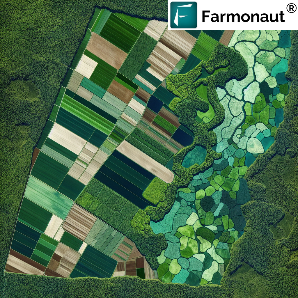
At Farmonaut, we leverage satellite imagery and advanced AI algorithms to provide detailed insights into land characteristics, helping farmers optimize their land use based on these classifications.
Types of Land Classifications
There are several systems for classifying land, each serving different purposes and offering unique insights. Let’s explore some of the most common land classifications relevant to agriculture:
1. USDA Land Capability Classification
The United States Department of Agriculture (USDA) has developed a comprehensive system that classifies land into eight capability classes based on their potential for agricultural use:
- Class I: Soils with few limitations for agriculture
- Class II: Soils with moderate limitations
- Class III: Soils with severe limitations
- Class IV: Soils with very severe limitations
- Class V: Soils with little erosion hazard but other limitations
- Class VI: Soils with severe limitations, suitable for pasture or forestry
- Class VII: Soils with very severe limitations, suitable for grazing or forestry
- Class VIII: Soils unsuitable for commercial plant production
This classification system helps farmers and land managers determine the most appropriate use for different areas of land, ensuring sustainable and productive agricultural practices.
2. FAO Land Suitability Classification
The Food and Agriculture Organization (FAO) of the United Nations uses a land suitability classification system that evaluates land based on its fitness for specific uses:
- S1: Highly suitable
- S2: Moderately suitable
- S3: Marginally suitable
- N1: Currently not suitable
- N2: Permanently not suitable
This system is particularly useful for crop-specific planning and helps in identifying the best areas for cultivating particular crops.
3. Agro-Ecological Zoning (AEZ)
Agro-Ecological Zoning is a more comprehensive approach that considers climate, soil, and terrain conditions to classify land into zones suitable for specific crops or agricultural systems. This classification is crucial for:
- Identifying potential yields for different crops
- Assessing land resource constraints
- Evaluating alternative land uses
- Optimizing agricultural planning on a regional or national scale
At Farmonaut, we integrate AEZ data with our satellite imagery to provide farmers with tailored recommendations for crop selection and management practices.
4. Soil Taxonomy Classification
Developed by the USDA, Soil Taxonomy is a hierarchical system that classifies soils based on their properties and characteristics. It includes six levels:
- Order
- Suborder
- Great Group
- Subgroup
- Family
- Series
This detailed classification system provides valuable insights into soil properties, which is crucial for determining suitable crops, irrigation needs, and fertilization strategies.
The Role of Technology in Land Classification
Advanced technologies have revolutionized the way we approach land classification and agricultural management. At Farmonaut, we’re at the forefront of this technological revolution, offering cutting-edge solutions that leverage satellite imagery, AI, and machine learning to provide accurate and up-to-date land classification data.
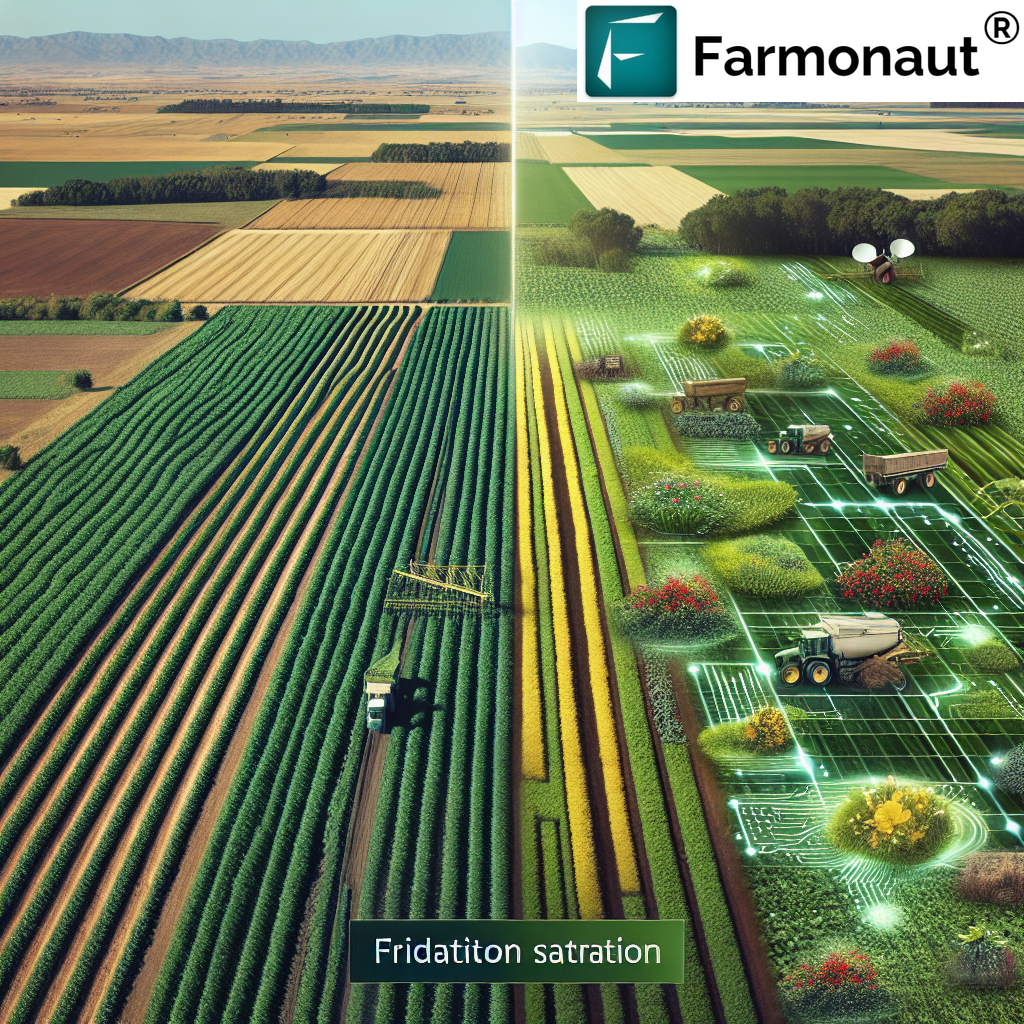
Satellite-Based Crop Health Monitoring
Our satellite-based crop health monitoring system uses multispectral imagery to assess various aspects of land and crop health, including:
- Vegetation health (NDVI)
- Soil moisture levels
- Crop stress indicators
- Land use changes
This real-time data allows farmers to make informed decisions about irrigation, fertilization, and pest management, optimizing their land use based on current conditions.
AI-Powered Land Classification
Our Jeevn AI Advisory System goes beyond traditional land classification methods by analyzing satellite data, historical records, and local environmental factors to provide personalized recommendations for land use. This system can:
- Suggest optimal crop rotations based on soil health and market demands
- Identify areas at risk of degradation and recommend conservation measures
- Forecast potential yields for different crops on specific land parcels
- Advise on sustainable land management practices
To learn more about how our AI-powered solutions can help you optimize your land use, visit Farmonaut App.
The Impact of Land Classifications on Agricultural Practices
Understanding and utilizing land classifications can significantly impact agricultural practices in several ways:
1. Crop Selection and Rotation
By knowing the land capability class and soil characteristics, farmers can select crops that are best suited to their land. This leads to:
- Higher yields
- Reduced input costs
- Improved soil health through proper crop rotation
2. Resource Management
Land classifications help in efficient resource allocation, including:
- Water management: Tailoring irrigation strategies based on soil moisture retention capacity
- Fertilizer application: Adjusting nutrient inputs based on soil fertility classification
- Labor and machinery: Optimizing the use of resources based on land capability
3. Sustainable Farming Practices
By understanding land limitations and potentials, farmers can implement sustainable practices such as:
- Conservation tillage on erosion-prone lands
- Agroforestry in areas with steep slopes
- Cover cropping to improve soil health in less fertile areas
4. Risk Management
Land classifications can help farmers and agricultural businesses manage risks by:
- Identifying areas prone to flooding or drought
- Diversifying crop selection based on land suitability
- Planning for climate change adaptation strategies
Farmonaut’s Approach to Land Classification and Management
At Farmonaut, we combine traditional land classification systems with advanced technology to provide comprehensive land management solutions. Our approach includes:
1. Integrated Data Analysis
We integrate multiple data sources, including:
- Satellite imagery
- Historical weather data
- Soil surveys
- Topographical maps
This integrated approach provides a holistic view of land characteristics and potential.
2. Real-Time Monitoring
Our satellite-based monitoring system provides up-to-date information on:
- Crop health
- Soil moisture
- Weather patterns
This real-time data allows for dynamic land management decisions.
3. Predictive Analytics
Using AI and machine learning, we offer predictive analytics for:
- Crop yield forecasting
- Pest and disease outbreaks
- Climate change impacts on land suitability
4. Customized Recommendations
Our Jeevn AI Advisory System provides personalized recommendations based on:
- Specific land characteristics
- Farmer’s goals and resources
- Market trends and demands
To explore how our customized recommendations can benefit your farm, check out our Android app or iOS app.
Case Studies: Successful Implementation of Land Classifications
While we don’t include specific case studies, it’s worth noting that farmers and agricultural businesses worldwide have successfully used land classification systems to improve their operations. Some general examples include:
- Large-scale farms optimizing crop selection based on soil taxonomy
- Small-holder farmers improving yields through better understanding of land capability
- Government agencies using AEZ for regional agricultural planning
- Agribusinesses leveraging land suitability data for strategic expansion
The Future of Land Classification in Agriculture
As we look to the future, several trends are shaping the evolution of land classification in agriculture:
1. Increased Precision
Advancements in remote sensing and data analysis are allowing for more precise and detailed land classifications. At Farmonaut, we’re continuously improving our satellite imagery resolution and AI algorithms to provide even more accurate land assessments.
2. Integration of Climate Change Models
Future land classification systems will increasingly incorporate climate change predictions, helping farmers adapt their practices to changing environmental conditions. Our predictive analytics are already taking these factors into account.
3. Dynamic Classification Systems
Static land classifications are giving way to dynamic systems that can be updated in real-time based on changing conditions. Our satellite-based monitoring system is at the forefront of this trend, providing up-to-date land information.
4. Customized Classification for Specific Crops
As precision agriculture advances, we’re moving towards highly specialized land classifications tailored for specific crops or farming systems. Our AI-powered recommendations are already providing this level of customization.
How Farmonaut’s Satellite System Compares to Drone and IoT-based Farm Monitoring
| Feature | Farmonaut Satellite System | Drone-based Monitoring | IoT-based Monitoring |
|---|---|---|---|
| Coverage Area | Large scale (regional to global) | Limited (local) | Limited (field-specific) |
| Frequency of Data Collection | Regular (daily to weekly) | On-demand | Continuous |
| Initial Setup Cost | Low | High | Medium to High |
| Operational Complexity | Low (cloud-based) | High (requires skilled operators) | Medium (requires maintenance) |
| Data Processing | Automated (AI-powered) | Semi-automated | Automated |
| Scalability | Highly scalable | Limited scalability | Moderately scalable |
| Weather Independence | Moderate (affected by cloud cover) | Low (affected by wind, rain) | High |
| Integration with Other Data Sources | High (weather, soil, historical data) | Limited | Moderate |
As you can see, Farmonaut’s satellite-based system offers unique advantages in terms of coverage, cost-effectiveness, and scalability, making it an ideal choice for a wide range of agricultural applications.
Implementing Farmonaut’s Solutions for Effective Land Classification and Management
To leverage the power of our advanced land classification and management tools, follow these steps:
- Sign up for Farmonaut: Visit our app page to get started with our satellite-based farm management solutions.
- Input your farm details: Provide information about your farm’s location, size, and current crops.
- Explore satellite imagery: Use our interactive maps to visualize your land and its characteristics.
- Analyze land classifications: Review the AI-generated land classification data for your farm.
- Receive personalized recommendations: Get tailored advice on crop selection, resource management, and sustainable practices.
- Monitor in real-time: Track changes in your land and crop health through regular satellite updates.
- Integrate with other tools: For developers, explore our API to integrate Farmonaut’s data into your own applications.
By following these steps, you can harness the full potential of your land while promoting sustainable agricultural practices.
Conclusion
Understanding and utilizing land classifications is crucial for modern, efficient, and sustainable agriculture. At Farmonaut, we’re committed to providing farmers, agribusinesses, and policymakers with the most advanced tools and insights to make informed decisions about land use and management.
By combining traditional classification systems with cutting-edge satellite technology and AI-powered analytics, we’re helping to shape the future of agriculture. Our solutions not only provide valuable insights into land characteristics but also offer actionable recommendations for optimizing agricultural practices.
As we continue to face global challenges such as climate change, food security, and resource conservation, the importance of effective land classification and management will only grow. With Farmonaut’s innovative approaches and commitment to sustainable agriculture, we’re well-positioned to help farmers and agricultural stakeholders navigate these challenges and build a more resilient and productive agricultural sector.
Ready to revolutionize your approach to land management? Sign up for Farmonaut today and discover how our satellite-based solutions can transform your agricultural practices.
Frequently Asked Questions (FAQ)
Q1: What are land classifications?
A1: Land classifications are systems used to categorize land based on its characteristics, potential uses, and limitations. These classifications consider factors such as soil quality, topography, climate, and current land use to help determine the most suitable agricultural practices for a given area.
Q2: How does Farmonaut use satellite imagery for land classification?
A2: Farmonaut uses high-resolution multispectral satellite imagery to analyze various aspects of land, including vegetation health, soil moisture, and topography. Our AI algorithms process this data to provide detailed land classifications and recommendations for optimal land use.
Q3: Can Farmonaut’s system work for small farms?
A3: Absolutely! Our satellite-based system is scalable and can provide valuable insights for farms of all sizes, from small holdings to large commercial operations.
Q4: How often is the satellite data updated?
A4: The frequency of updates depends on the specific service package, but we typically provide updates ranging from daily to weekly, ensuring you have access to the most current data for your land management decisions.
Q5: Is Farmonaut’s system compatible with other farm management software?
A5: Yes, we offer API access that allows integration with other farm management tools. For more information, check our API documentation.
Q6: How can land classifications help improve crop yields?
A6: By understanding the specific characteristics and limitations of your land, you can make informed decisions about crop selection, irrigation strategies, and resource management. This targeted approach can lead to optimized growing conditions and improved yields.
Q7: Does Farmonaut offer support for interpreting land classification data?
A7: Yes, our Jeevn AI Advisory System provides personalized recommendations based on your land classification data. Additionally, our customer support team is available to help you make the most of our tools and insights.
Q8: Can Farmonaut’s system help with sustainable farming practices?
A8: Absolutely. Our system provides insights that can help you implement sustainable practices such as efficient water use, targeted fertilizer application, and soil conservation measures, all based on the specific characteristics of your land.
Q9: How does climate change affect land classifications?
A9: Climate change can alter land characteristics over time, potentially changing its classification. Farmonaut’s system takes into account climate trends and provides updated classifications and recommendations to help you adapt to these changes.
Q10: Is training required to use Farmonaut’s land classification tools?
A10: While our system is designed to be user-friendly, we offer comprehensive tutorials and customer support to ensure you can fully leverage our tools. Our mobile apps for Android and iOS also provide an intuitive interface for accessing our services.