Mastering Water Indices in Remote Sensing: Understanding WBI, WRI, and Water Index Formulas for Precision Agriculture
In the ever-evolving landscape of precision agriculture, understanding and utilizing water indices has become crucial for optimizing crop management and resource allocation. At Farmonaut, we recognize the importance of these indices in remote sensing applications, particularly for our satellite-based farm monitoring solutions. In this comprehensive guide, we’ll delve deep into the world of water indices, exploring their significance, formulas, and practical applications in modern agriculture.
Table of Contents
- Introduction to Water Indices
- What is a Water Index?
- The Importance of Water Indices in Agriculture
- Common Water Indices in Remote Sensing
- Water Band Index (WBI)
- Water Ratio Index (WRI)
- Other Notable Water Indices
- Water Index Formulas and Their Applications
- Remote Sensing Techniques for Water Index Calculation
- Farmonaut’s Approach to Water Index Analysis
- Practical Applications in Precision Agriculture
- Challenges and Limitations
- Future Trends in Water Index Remote Sensing
- FAQ Section
1. Introduction to Water Indices
Water indices are crucial tools in the field of remote sensing, particularly for agricultural applications. These indices provide valuable insights into water content, distribution, and stress in vegetation and soil. As we at Farmonaut continue to innovate in the realm of satellite-based farm management, understanding these indices becomes increasingly important for our users and partners.
2. What is a Water Index?
A water index is a mathematical model that uses spectral bands from satellite or aerial imagery to assess various water-related characteristics of an area. These indices are designed to highlight specific features related to water content, making them invaluable for monitoring crop health, irrigation management, and overall water resource assessment.
Water indices typically exploit the differential absorption and reflection of light by water in different parts of the electromagnetic spectrum. By combining measurements from multiple spectral bands, these indices can provide a more accurate representation of water presence and content than single-band observations.
3. The Importance of Water Indices in Agriculture
In precision agriculture, water indices play a pivotal role in:
- Crop health monitoring
- Irrigation scheduling
- Drought assessment
- Soil moisture estimation
- Yield prediction
- Water stress detection
By leveraging these indices, farmers and agricultural managers can make informed decisions about water management, leading to optimized resource use, improved crop yields, and enhanced sustainability practices.
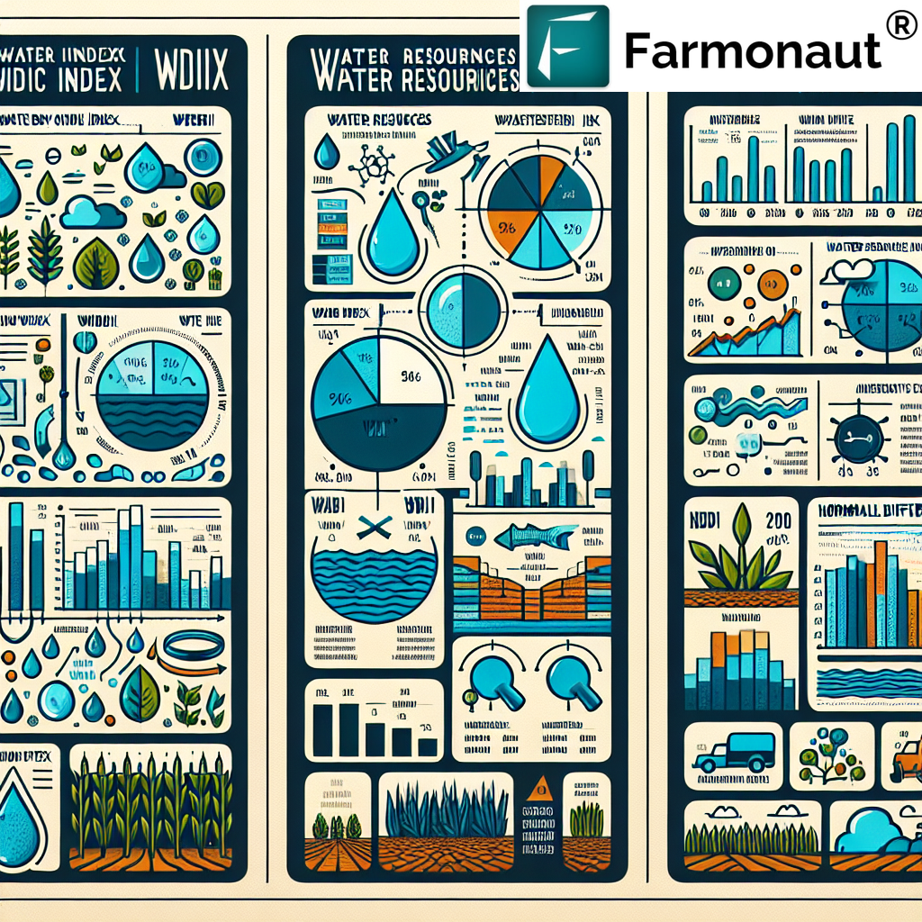
4. Common Water Indices in Remote Sensing
Several water indices have been developed for remote sensing applications. We’ll focus on two of the most widely used indices: the Water Band Index (WBI) and the Water Ratio Index (WRI).
5. Water Band Index (WBI)
The Water Band Index (WBI) is a hyperspectral index that is particularly sensitive to leaf water content. It utilizes the ratio of reflectance at 970 nm to that at 900 nm.
Water Band Index Formula:
WBI = R970 / R900
Where:
- R970 is the reflectance at 970 nm
- R900 is the reflectance at 900 nm
The WBI is effective in detecting plant water stress and estimating canopy water content. Higher WBI values typically indicate greater water content in vegetation.
6. Water Ratio Index (WRI)
The Water Ratio Index (WRI) is another important index used in remote sensing for water content assessment. It utilizes a ratio of near-infrared (NIR) bands to highlight water features.
Water Ratio Index Formula:
WRI = (Green + Red) / (NIR + SWIR)
Where:
- Green is the reflectance in the green band
- Red is the reflectance in the red band
- NIR is the reflectance in the near-infrared band
- SWIR is the reflectance in the shortwave infrared band
The WRI is particularly useful for distinguishing water bodies from other land features and can be applied to assess soil moisture and flood mapping.
7. Other Notable Water Indices
While the WBI and WRI are widely used, several other water indices have been developed for specific applications:
- Normalized Difference Water Index (NDWI): Used for delineating open water features and enhancing their presence in satellite imagery.
- Moisture Stress Index (MSI): Indicates vegetation water content and stress level.
- Land Surface Water Index (LSWI): Sensitive to total vegetation water content and useful for monitoring drought conditions.
- Water Index (WI): A simple ratio of NIR to SWIR reflectance, sensitive to leaf water content.
8. Water Index Formulas and Their Applications
Understanding the formulas behind water indices is crucial for their effective application in remote sensing and precision agriculture. Let’s delve deeper into some key water index formulas and their specific uses:
Normalized Difference Water Index (NDWI)
Formula: NDWI = (Green – NIR) / (Green + NIR)
Applications:
- Mapping open water bodies
- Assessing water content in leaves
- Monitoring changes in water stress in vegetation
Modified Normalized Difference Water Index (MNDWI)
Formula: MNDWI = (Green – SWIR) / (Green + SWIR)
Applications:
- Enhanced water features detection
- Suppression of built-up land noise
- Improved distinction between water and land areas
Normalized Difference Moisture Index (NDMI)
Formula: NDMI = (NIR – SWIR) / (NIR + SWIR)
Applications:
- Assessing vegetation water content
- Monitoring drought conditions
- Forest fire susceptibility mapping
At Farmonaut, we integrate these various water index formulas into our satellite-based monitoring system, allowing for comprehensive water stress analysis and irrigation management recommendations.
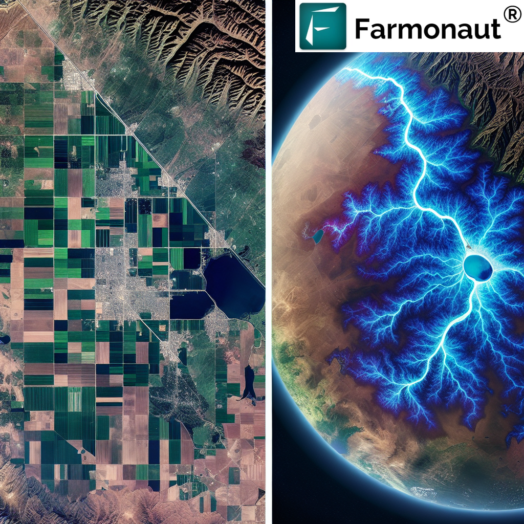
9. Remote Sensing Techniques for Water Index Calculation
Water index remote sensing involves several sophisticated techniques to accurately calculate and interpret water indices. These methods leverage the unique spectral signatures of water and vegetation across different wavelengths of the electromagnetic spectrum.
Key Remote Sensing Techniques:
- Multispectral Imaging: Utilizes data from multiple spectral bands to calculate various water indices.
- Hyperspectral Imaging: Provides more detailed spectral information, allowing for more precise water content analysis.
- Synthetic Aperture Radar (SAR): Useful for detecting surface water and soil moisture, especially in cloudy conditions.
- Thermal Infrared Sensing: Helps in assessing plant water stress through temperature measurements.
At Farmonaut, we primarily rely on multispectral satellite imagery for our water index calculations, ensuring broad coverage and regular updates for our users.
10. Farmonaut’s Approach to Water Index Analysis
At Farmonaut, we’ve developed a comprehensive approach to water index analysis that integrates multiple indices and advanced machine learning algorithms. Our system processes satellite imagery to calculate various water indices, providing farmers with actionable insights for irrigation management and crop health monitoring.
Key Features of Farmonaut’s Water Index Analysis:
- Multi-index approach for comprehensive water stress assessment
- Time-series analysis to track changes in water content over time
- Integration with weather data for contextualized interpretations
- AI-driven recommendations for irrigation scheduling
- User-friendly visualizations through our mobile and web applications
To experience Farmonaut’s advanced water index analysis and other precision agriculture tools, visit our app page or download our mobile app for Android or iOS.
11. Practical Applications in Precision Agriculture
Water indices play a crucial role in various aspects of precision agriculture. Here are some practical applications:
- Irrigation Management: Water indices help in determining optimal irrigation schedules, preventing over or under-watering.
- Crop Health Monitoring: Early detection of water stress allows for timely interventions to maintain crop health.
- Yield Prediction: Water content information contributes to more accurate yield forecasting models.
- Drought Resilience: Farmers can use water index data to implement drought-resistant strategies and crop selections.
- Pest and Disease Management: Water stress can make crops more susceptible to pests and diseases; monitoring helps in preventive actions.
12. Challenges and Limitations
While water indices are powerful tools, they come with certain challenges and limitations:
- Atmospheric Interference: Cloud cover and atmospheric conditions can affect the accuracy of satellite-based indices.
- Spatial Resolution: Some satellites may not provide high enough resolution for small-scale applications.
- Temporal Frequency: The revisit time of satellites may not be sufficient for real-time monitoring in all cases.
- Complex Terrain: Mountainous or highly varied landscapes can complicate index calculations.
- Vegetation Density: Very dense canopies can obscure underlying water content information.
At Farmonaut, we’re constantly working to address these challenges through advanced algorithms and multi-source data integration.
13. Future Trends in Water Index Remote Sensing
The field of water index remote sensing is rapidly evolving. Some emerging trends include:
- Integration of AI and Machine Learning: Enhancing the accuracy and interpretability of water indices.
- Fusion of Multiple Data Sources: Combining satellite, drone, and ground sensor data for more comprehensive analysis.
- Development of New Indices: Researchers are continually developing new indices for specific applications and environments.
- Increased Temporal Resolution: More frequent satellite revisits and the use of constellations for near-real-time monitoring.
- Improved Spatial Resolution: Advancements in satellite technology leading to higher resolution imagery.
Farmonaut is at the forefront of these developments, continuously updating our platform to incorporate the latest advancements in water index remote sensing.
14. FAQ Section
Q1: What is a water index in remote sensing?
A: A water index in remote sensing is a mathematical formula that uses spectral bands from satellite or aerial imagery to assess various water-related characteristics of an area, such as water content in vegetation, soil moisture, or the presence of water bodies.
Q2: How is the Water Band Index (WBI) calculated?
A: The Water Band Index (WBI) is calculated using the formula: WBI = R970 / R900, where R970 and R900 are the reflectance values at 970 nm and 900 nm wavelengths, respectively.
Q3: What’s the difference between WBI and WRI?
A: The Water Band Index (WBI) is specifically sensitive to leaf water content, while the Water Ratio Index (WRI) is more general and used for distinguishing water bodies from other land features and assessing soil moisture.
Q4: How often should water indices be calculated for agricultural purposes?
A: The frequency depends on the specific application, but generally, weekly or bi-weekly calculations are beneficial for most agricultural purposes. At Farmonaut, we provide regular updates based on satellite revisit times and crop growth stages.
Q5: Can water indices be used for all types of crops?
A: While water indices are generally applicable to most crops, their effectiveness can vary depending on the crop type, growth stage, and environmental conditions. It’s important to interpret the indices in context with other data and expert knowledge.
Q6: How accurate are satellite-based water indices compared to ground measurements?
A: Satellite-based water indices provide a good approximation of water-related characteristics over large areas. While they may not be as precise as direct ground measurements for a specific point, they offer valuable insights for broad-scale monitoring and management decisions.
Q7: Can Farmonaut’s system integrate custom water indices?
A: Yes, Farmonaut’s platform is designed to be flexible and can incorporate custom water indices based on specific research or regional requirements. Please contact our team for more information on custom integrations.
Conclusion
Water indices are invaluable tools in the realm of remote sensing and precision agriculture. By understanding and utilizing these indices, farmers and agricultural managers can make more informed decisions about water management, leading to improved crop yields, resource efficiency, and sustainability.
At Farmonaut, we’re committed to harnessing the power of water indices and other advanced remote sensing techniques to provide cutting-edge solutions for modern agriculture. Our satellite-based monitoring system, coupled with AI-driven insights, offers a comprehensive approach to farm management that goes beyond traditional methods.
We invite you to explore how Farmonaut can transform your agricultural practices. Visit our website to learn more about our services, or check out our API documentation for developers interested in integrating our technology into their solutions.
For those ready to experience the benefits of precision agriculture firsthand, consider subscribing to Farmonaut:
Join us in revolutionizing agriculture through advanced remote sensing and precision farming techniques. Together, we can create a more sustainable and productive future for global agriculture.
