Revolutionizing Agriculture: How Satellite NDVI Technology Empowers Farmers to Monitor Crop Health and Maximize Harvest
In the ever-evolving world of agriculture, we at Farmonaut are at the forefront of a technological revolution that is transforming the way farmers monitor their crops and maximize their harvests. Our cutting-edge satellite NDVI technology is empowering farmers across the globe to make data-driven decisions, optimize resource management, and significantly improve crop yields. In this comprehensive blog post, we’ll explore the intricacies of satellite NDVI technology and how it’s reshaping the agricultural landscape.
Understanding Satellite NDVI Technology
Normalized Difference Vegetation Index (NDVI) is a powerful tool in the realm of remote sensing and agricultural monitoring. This index utilizes the unique reflectance properties of plants to provide valuable insights into vegetation health and density. Let’s delve deeper into the components that make this technology so revolutionary:
The Science Behind NDVI
NDVI is based on the principle that healthy vegetation absorbs most of the visible light that hits it while reflecting a large portion of near-infrared light. The formula for NDVI is:
NDVI = (NIR – RED) / (NIR + RED)
Where:
- NIR = Near-infrared reflectance
- RED = Red light reflectance
The resulting index values range from -1 to +1, with higher values indicating healthier vegetation.
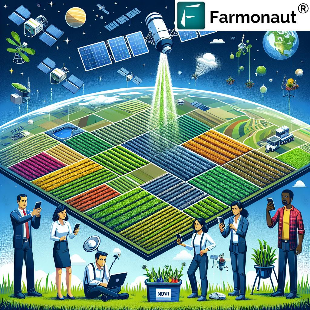
Satellite Imagery: The Eye in the Sky
Our satellite NDVI technology leverages high-resolution imagery captured by a network of Earth observation satellites. These satellites are equipped with multispectral sensors capable of detecting various wavelengths of light, including the crucial near-infrared and red bands used in NDVI calculations.
By continuously scanning vast agricultural areas, these satellites provide us with regular, up-to-date images of fields and orchards. This frequent monitoring allows for the detection of changes in crop health and growth patterns over time, providing farmers with invaluable insights into their agricultural operations.
The Power of NDVI in Agricultural Applications
NDVI technology has revolutionized various aspects of agricultural management. Here’s how we’re helping farmers leverage this powerful tool:
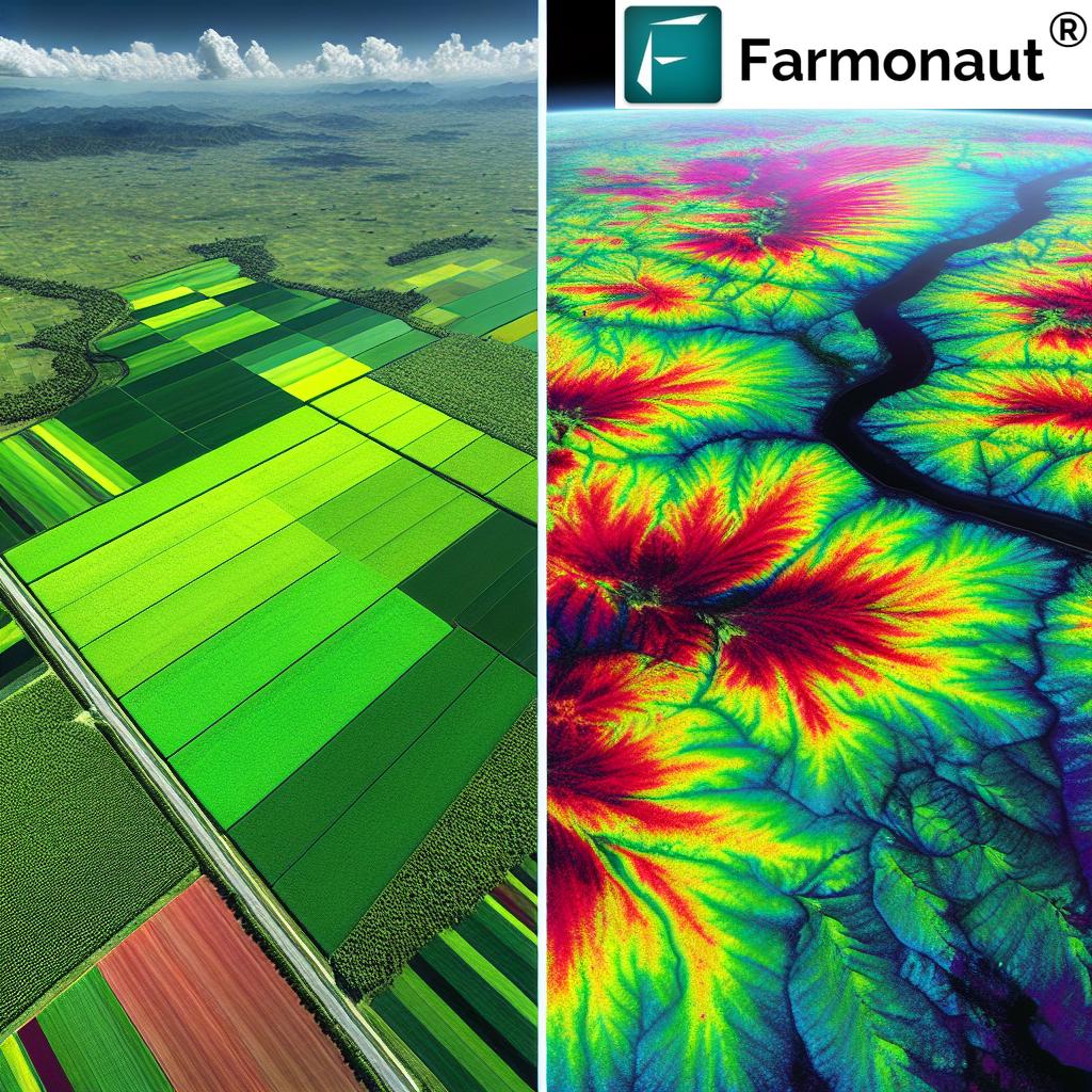
1. Crop Health Monitoring
One of the primary applications of NDVI in agriculture is crop health monitoring. By analyzing NDVI values across a field, we can help farmers:
- Identify areas of stress or poor growth
- Detect early signs of pest infestations or disease outbreaks
- Monitor overall crop vigor and biomass
- Track changes in plant health throughout the growing season
This level of insight allows for timely interventions, potentially saving entire crops from failure and significantly boosting yields.
2. Precision Agriculture
NDVI maps enable precision agriculture practices by providing detailed information about spatial variability within fields. This data helps farmers:
- Optimize fertilizer application by identifying areas that need more or less nutrients
- Improve irrigation management by pinpointing areas of water stress
- Implement variable rate technology for more efficient use of resources
By tailoring inputs to the specific needs of different areas within a field, farmers can maximize efficiency and minimize waste.
3. Yield Prediction and Harvest Planning
NDVI data collected over time can be used to predict crop yields and plan for harvest. Our technology helps farmers:
- Estimate potential yields based on historical NDVI patterns
- Determine optimal harvest times for different sections of their fields
- Plan logistics and resources needed for harvesting operations
This foresight allows for better resource allocation and can significantly improve the efficiency of harvest operations.
4. Environmental Monitoring
Beyond direct agricultural applications, NDVI technology also plays a crucial role in environmental monitoring. It can be used to:
- Assess the impact of drought or other environmental stresses on vegetation
- Monitor deforestation and reforestation efforts
- Track changes in land use and vegetation cover over time
This broader perspective helps in sustainable land management and conservation efforts.
Farmonaut’s Satellite NDVI Technology: A Cut Above the Rest
At Farmonaut, we’ve refined satellite NDVI technology to provide farmers with unparalleled insights into their crops. Our system offers several key advantages:
1. High-Resolution Imagery
We utilize the latest satellite technology to provide high-resolution images of agricultural fields. This level of detail allows for precise analysis of crop health down to individual plants in some cases.
2. Frequent Updates
Our network of satellites provides regular updates, allowing farmers to track changes in their fields on a weekly or even daily basis. This frequent monitoring enables quick responses to emerging issues.
3. User-Friendly Interface
We’ve designed our platform with farmers in mind. Our intuitive interface makes it easy to access and interpret NDVI data, even for those without a technical background.
4. Integration with Other Data Sources
Our system doesn’t just rely on NDVI data. We integrate weather information, soil data, and historical crop performance to provide a comprehensive view of agricultural operations.
5. AI-Powered Insights
We employ advanced artificial intelligence algorithms to analyze NDVI data and provide actionable insights. This includes early detection of potential issues and personalized recommendations for crop management.
Practical Applications: How Farmers Are Using Our NDVI Technology
Let’s explore some real-world scenarios where our satellite NDVI technology is making a difference:
Case Study 1: Early Disease Detection in Wheat Fields
A wheat farmer in the Midwest was able to detect the early signs of a fungal infection in one corner of their field thanks to our NDVI scans. The slightly lower NDVI values in that area prompted an on-site inspection, which confirmed the presence of rust. By treating the affected area promptly, the farmer prevented the disease from spreading and saved a significant portion of their crop.
Case Study 2: Optimizing Irrigation in Almond Orchards
An almond grower in California used our NDVI maps to fine-tune their irrigation system. By identifying areas of water stress (indicated by lower NDVI values), they were able to adjust their drip irrigation system to provide more water to stressed trees while reducing water usage in areas that were overwatered. This not only improved tree health but also led to substantial water savings.
Case Study 3: Precision Fertilizer Application in Corn Fields
A large-scale corn producer used our NDVI technology to implement variable rate fertilizer application. By creating a prescription map based on NDVI values, they were able to apply more fertilizer to areas with lower vegetation index values and less to areas with higher values. This precision approach led to more uniform crop growth and a 15% reduction in overall fertilizer use.
The Future of Satellite NDVI Technology in Agriculture
As we look to the future, we see even greater potential for satellite NDVI technology in agriculture. Some exciting developments on the horizon include:
1. Integration with IoT Devices
The integration of NDVI data with Internet of Things (IoT) devices in the field will allow for even more precise and automated agricultural management. Imagine irrigation systems that automatically adjust based on real-time NDVI data!
2. Advanced Predictive Analytics
As we gather more data and refine our AI algorithms, we’ll be able to provide even more accurate predictions of crop yields, disease outbreaks, and optimal harvest times.
3. Hyperspectral Imaging
The next generation of satellites may include hyperspectral sensors, which can detect a much wider range of light wavelengths. This will provide even more detailed information about crop health and soil conditions.
4. Climate Change Adaptation
As climate patterns shift, NDVI technology will play a crucial role in helping farmers adapt their practices to new conditions, ensuring food security in the face of environmental challenges.
Comparing Traditional Farming Methods to Farmonaut’s Satellite NDVI Technology
To truly appreciate the impact of our satellite NDVI technology, let’s compare it to traditional farming methods:
| Aspect | Traditional Farming Methods | Farmonaut Satellite NDVI Technology |
|---|---|---|
| Crop Health Monitoring | Visual inspection, limited to accessible areas | Comprehensive, data-driven analysis of entire fields |
| Field Scouting Efficiency | Time-consuming, labor-intensive | Rapid, automated scanning of large areas |
| Early Stress Detection | Often missed until symptoms are visible | Early detection of stress before visible symptoms appear |
| Harvest Timing Optimization | Based on experience and limited sampling | Data-driven decisions based on comprehensive field analysis |
| Resource Management | Uniform application across fields | Precision application based on specific needs of different areas |
Getting Started with Farmonaut’s Satellite NDVI Technology
Ready to revolutionize your farming practices with our cutting-edge satellite NDVI technology? Here’s how you can get started:
- Sign Up: Visit our website at https://farmonaut.com/app_redirect to create your account.
- Define Your Fields: Use our intuitive mapping tool to outline your fields and orchards.
- Access NDVI Data: Start receiving regular NDVI scans of your agricultural areas.
- Analyze and Act: Use our platform to interpret the data and make informed decisions about your crops.
- Mobile Access: Download our mobile app for on-the-go access to your field data:
- Android: Google Play Store
- iOS: Apple App Store
For developers interested in integrating our satellite data into their own applications, check out our API documentation at https://farmonaut.com/farmonaut-satellite-weather-api-developer-docs/.
Subscription Options
Choose the plan that best fits your needs:
Frequently Asked Questions (FAQ)
Q: How often are NDVI scans updated?
A: Our satellite NDVI scans are typically updated on a weekly basis, weather permitting. In some cases, we can provide more frequent updates for critical growth periods or during times of stress.
Q: Can NDVI technology detect specific diseases or pests?
A: While NDVI can’t directly identify specific diseases or pests, it can detect areas of stress in crops that may be caused by these issues. This allows farmers to focus their scouting efforts on potentially problematic areas.
Q: How accurate is NDVI data in predicting crop yields?
A: NDVI data, when combined with other factors such as weather conditions and historical yield data, can provide fairly accurate yield predictions. However, it’s important to note that many variables can affect final yields.
Q: Is satellite NDVI technology suitable for small farms?
A: Absolutely! Our technology is scalable and can provide valuable insights for farms of all sizes, from small family operations to large industrial farms.
Q: How does cloud cover affect NDVI scans?
A: Dense cloud cover can interfere with satellite imagery. However, our system uses data from multiple satellites and employs advanced algorithms to minimize the impact of cloud cover on our NDVI analyses.
Q: Can NDVI technology be used for all types of crops?
A: NDVI is effective for most types of vegetation, including row crops, orchards, and pastures. However, the interpretation of NDVI data may vary depending on the specific crop and growth stage.
Conclusion: Embracing the Future of Agriculture
As we’ve explored in this comprehensive guide, satellite NDVI technology is not just a tool for modern agriculture – it’s a revolution in the way we approach farming. By providing unprecedented insights into crop health, enabling precision agriculture practices, and optimizing resource management, this technology is helping farmers around the world to increase yields, reduce costs, and farm more sustainably.
At Farmonaut, we’re proud to be at the forefront of this agricultural revolution. Our satellite NDVI technology, combined with our user-friendly platform and expert support, is empowering farmers to make data-driven decisions that are transforming their operations.
As we look to the future, we’re excited about the continued evolution of this technology and its potential to address global challenges in food security and sustainable agriculture. Whether you’re a small family farmer or manage large-scale agricultural operations, we invite you to join us in embracing this powerful tool for the future of farming.
Ready to take your farming to the next level? Visit https://farmonaut.com/app_redirect to get started with our satellite NDVI technology today. Together, we can cultivate a more productive, sustainable, and prosperous future for agriculture.