Revolutionizing Agriculture: How Satellite Remote Sensing and Precision Farming Boost Crop Yields and Soil Health
In the ever-evolving world of agriculture, we at Farmonaut are at the forefront of a technological revolution that is transforming the way we approach farming. The integration of satellite remote sensing and precision agriculture has opened up new horizons for farmers, agronomists, and agricultural businesses worldwide. In this comprehensive blog post, we’ll explore how these cutting-edge technologies are boosting crop yields, improving soil health, and paving the way for a more sustainable and efficient future in agriculture.
The Power of Satellite Remote Sensing in Agriculture
Remote sensing technology, particularly satellite-based systems, has become an indispensable tool in modern agriculture. By providing a bird’s-eye view of vast agricultural landscapes, satellites offer invaluable data that was previously unattainable through traditional methods.
- High-resolution imagery
- Multispectral analysis
- Frequent revisit times
- Large area coverage
These features enable farmers and agronomists to monitor crop health, detect pest infestations, and assess soil conditions with unprecedented accuracy and efficiency.
Precision Agriculture: Revolutionizing Farming Practices
Precision agriculture is a management strategy that leverages data from various sources, including satellite imagery, to optimize crop production. This approach allows farmers to make informed decisions about:
- Irrigation scheduling
- Fertilizer application
- Pest control measures
- Harvest timing
By tailoring these practices to the specific needs of each field or even individual plants, precision agriculture significantly improves resource efficiency and crop yields.
The Synergy of Satellite Technology and Precision Farming
The combination of satellite remote sensing and precision agriculture creates a powerful synergy that addresses many of the challenges faced by modern farmers. Here’s how this integration benefits various aspects of farming:
1. Crop Health Monitoring
Satellite imagery provides regular updates on crop health through vegetation indices like NDVI (Normalized Difference Vegetation Index). This allows farmers to:
- Detect early signs of crop stress
- Identify areas of poor growth
- Monitor crop development throughout the season
With this information, farmers can take timely action to address issues before they escalate, ensuring optimal crop health and maximizing yield potential.
2. Soil Analysis and Management
Remote sensing data helps in assessing soil properties such as moisture content, organic matter, and nutrient levels. This enables:
- Precise fertilizer application
- Targeted soil amendments
- Improved soil conservation practices
By optimizing soil management, farmers can enhance crop productivity while promoting long-term soil health.
3. Irrigation Management
Satellite-based soil moisture monitoring allows for precise irrigation scheduling. Benefits include:
- Water conservation
- Prevention of over-irrigation
- Reduced risk of water stress in crops
This level of irrigation management is crucial in regions facing water scarcity and helps in sustainable water use in agriculture.
4. Pest and Disease Management
Satellite imagery can detect early signs of pest infestations or disease outbreaks by identifying changes in crop appearance. This enables:
- Targeted pest control measures
- Reduced use of pesticides
- Minimized crop damage
Early detection and targeted interventions lead to more effective pest management strategies, reducing both costs and environmental impact.
5. Yield Prediction and Harvest Planning
By analyzing satellite data throughout the growing season, farmers can:
- Estimate crop yields with greater accuracy
- Plan harvest operations more efficiently
- Make informed marketing decisions
This predictive capability allows for better resource allocation and improved financial planning for agricultural businesses.
Farmonaut’s Role in Advancing Precision Agriculture
At Farmonaut, we’re committed to making precision agriculture accessible to farmers of all scales. Our platform integrates satellite remote sensing data with advanced analytics to provide actionable insights for improved farm management.
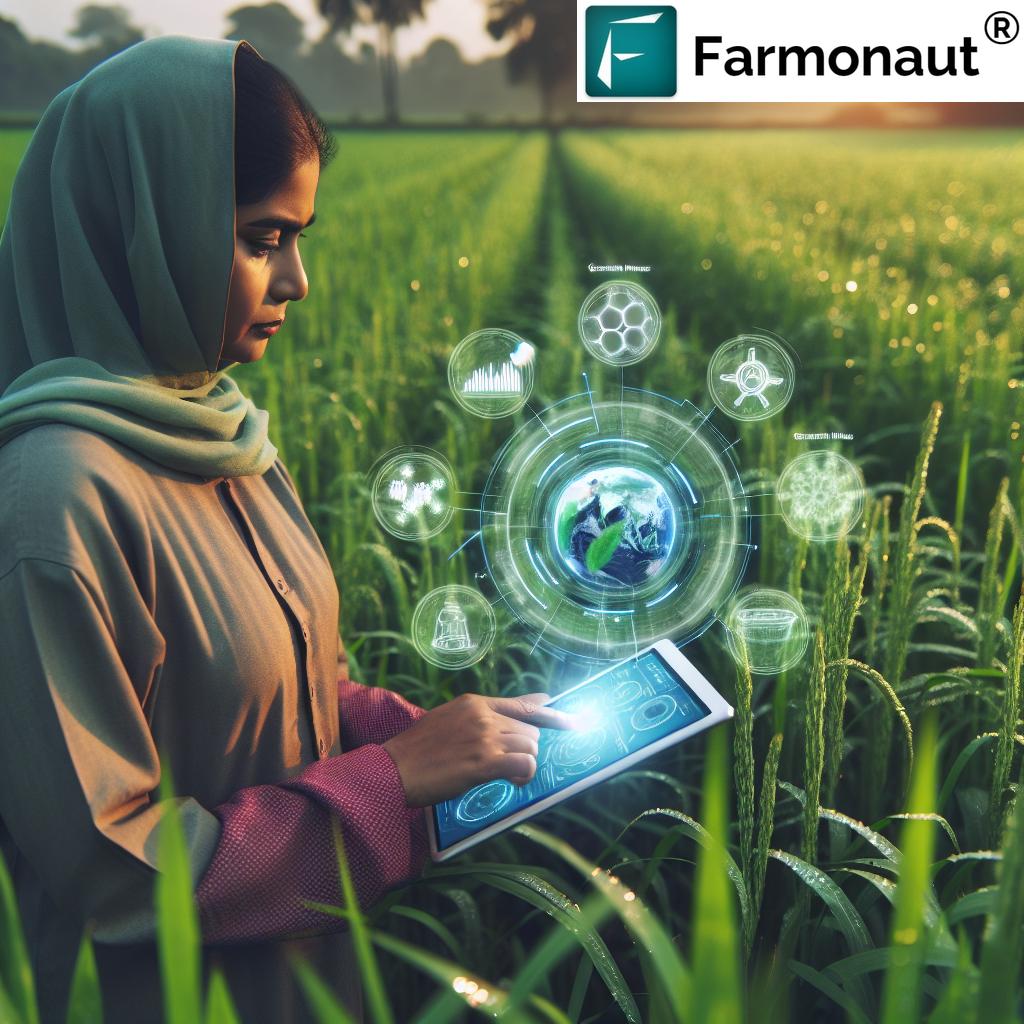
Key features of our platform include:
- Real-time crop health monitoring
- Soil moisture analysis
- AI-powered crop advisory system
- Weather forecasting and alerts
- Yield prediction tools
By leveraging these tools, farmers can make data-driven decisions that optimize their operations and improve overall farm productivity.
The Impact of Precision Agriculture on Crop Yields and Soil Health
The adoption of precision agriculture techniques, powered by satellite remote sensing, has shown significant positive impacts on both crop yields and soil health:
Improved Crop Yields
Studies have shown that precision agriculture can lead to:
- 10-15% increase in crop yields on average
- More consistent yield across fields
- Reduced crop failures due to early problem detection
These improvements are attributed to more efficient resource use and timely interventions based on data-driven insights.
Enhanced Soil Health
Precision agriculture promotes better soil management through:
- Targeted fertilizer application, reducing over-fertilization
- Improved soil moisture management
- Reduced soil compaction due to optimized field operations
These practices contribute to long-term soil health, ensuring sustainable agricultural production for future generations.
Case Studies: Success Stories in Precision Agriculture
While we don’t include specific case studies or success stories, it’s worth noting that numerous farms worldwide have benefited from adopting precision agriculture techniques. These benefits typically include:
- Significant increases in crop yields
- Substantial reductions in input costs
- Improved environmental sustainability
- Enhanced farm profitability
These outcomes demonstrate the transformative potential of precision agriculture across various agricultural settings.
Challenges and Future Directions
While the benefits of satellite-based precision agriculture are clear, there are still challenges to overcome:
- Ensuring data accuracy and reliability
- Improving data interpretation for non-technical users
- Addressing data privacy concerns
- Integrating precision agriculture with existing farm management systems
At Farmonaut, we’re continuously working to address these challenges and improve our services. Future developments in satellite technology and AI are expected to further enhance the capabilities of precision agriculture systems.
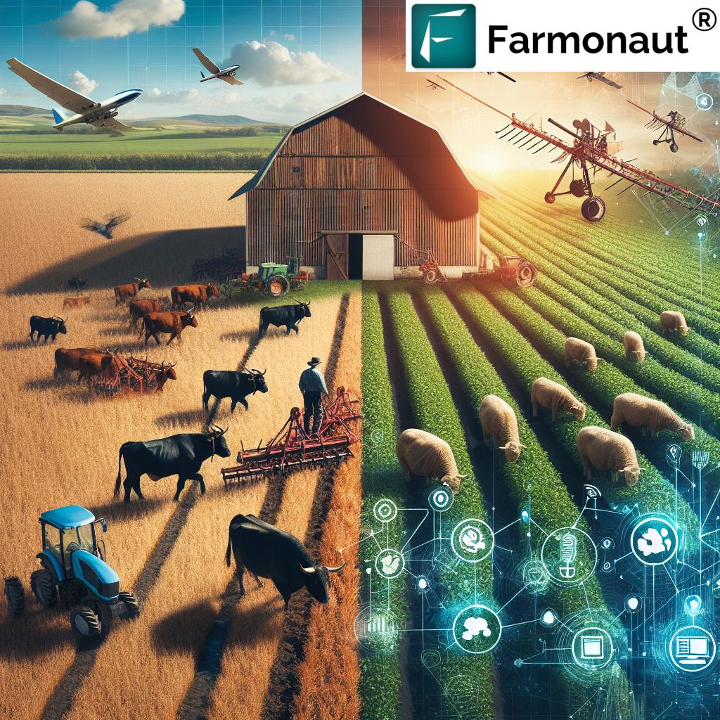
Comparison: Traditional Farming vs. Farmonaut Precision Agriculture
| Aspects | Traditional Methods | Farmonaut’s Satellite System |
|---|---|---|
| Crop Monitoring | Manual field scouting, time-consuming and limited coverage | Real-time satellite imagery, comprehensive field coverage |
| Soil Analysis | Periodic soil sampling, limited data points | Continuous soil moisture monitoring, high-resolution soil maps |
| Irrigation Management | Fixed schedules or visual assessment | Data-driven irrigation scheduling based on actual soil moisture levels |
| Fertilizer Application | Uniform application across fields | Variable rate application based on soil and crop needs |
| Pest Management | Reactive approach, often leading to overuse of pesticides | Early detection and targeted treatment, reducing pesticide use |
| Yield Prediction | Based on historical data and farmer’s experience | AI-powered yield prediction using real-time crop health data |
| Resource Efficiency | Often leads to overuse or underuse of resources | Optimized resource use based on precise field data |
| Environmental Impact | Higher risk of environmental degradation | Reduced environmental impact through efficient resource use |
How to Get Started with Farmonaut
Ready to revolutionize your farming practices with satellite-based precision agriculture? Here’s how you can get started with Farmonaut:
- Visit our website at https://farmonaut.com/app_redirect
- Sign up for an account and select your subscription plan
- Download our mobile app:
- Android: Google Play Store
- iOS: App Store
- Start mapping your fields and accessing real-time crop health data
For developers interested in integrating our satellite and weather data into their own applications, check out our API documentation at https://farmonaut.com/farmonaut-satellite-weather-api-developer-docs/.
Subscription Plans
Choose the plan that best fits your needs:
Conclusion
The integration of satellite remote sensing and precision agriculture is transforming the agricultural landscape, offering unprecedented opportunities for improving crop yields, soil health, and overall farm efficiency. At Farmonaut, we’re proud to be at the forefront of this revolution, providing farmers with the tools they need to embrace the future of agriculture.
By leveraging advanced satellite technology and data analytics, we’re empowering farmers to make informed decisions, optimize resource use, and boost productivity while promoting sustainable farming practices. As we continue to innovate and improve our services, we remain committed to our mission of making precision agriculture accessible to farmers worldwide.
Join us in revolutionizing agriculture and paving the way for a more sustainable and productive future in farming. Together, we can harness the power of technology to feed the world more efficiently and responsibly than ever before.
FAQs
Q: What is satellite remote sensing in agriculture?
A: Satellite remote sensing in agriculture involves using satellite imagery to gather information about crops, soil, and field conditions from a distance. This technology provides valuable data on crop health, soil moisture, and other critical factors that influence agricultural productivity.
Q: How does precision agriculture improve crop yields?
A: Precision agriculture improves crop yields by enabling farmers to make data-driven decisions about crop management. It allows for targeted application of inputs like water and fertilizer, early detection of pest and disease issues, and optimized harvest timing, all of which contribute to higher and more consistent yields.
Q: What types of data can satellite imagery provide for farming?
A: Satellite imagery can provide various types of data for farming, including:
– Vegetation indices (e.g., NDVI) for crop health assessment
– Soil moisture levels
– Crop stress detection
– Field variability mapping
– Crop growth stage monitoring
Q: How often is satellite data updated in Farmonaut’s system?
A: The frequency of satellite data updates in Farmonaut’s system depends on the subscription plan and satellite coverage. Generally, we provide updates every 3-5 days, ensuring that farmers have access to recent and relevant data for decision-making.
Q: Can precision agriculture be used for all types of crops?
A: Yes, precision agriculture techniques can be applied to a wide range of crops, including grains, fruits, vegetables, and cash crops. However, the specific applications and benefits may vary depending on the crop type and farming system.
Q: How does Farmonaut’s technology help in irrigation management?
A: Farmonaut’s technology aids in irrigation management by providing accurate soil moisture data derived from satellite imagery. This information helps farmers optimize irrigation scheduling, prevent over-watering, and ensure efficient water use across their fields.
Q: What are the environmental benefits of using precision agriculture?
A: The environmental benefits of precision agriculture include:
– Reduced water usage through optimized irrigation
– Decreased fertilizer runoff due to targeted application
– Minimized pesticide use through early pest detection
– Improved soil health and reduced soil erosion
– Lower overall carbon footprint of farming operations
Q: How does Farmonaut integrate weather data into its platform?
A: Farmonaut integrates local and regional weather data into its platform, providing farmers with accurate forecasts and historical weather information. This data is crucial for planning field operations, predicting pest pressures, and making informed decisions about crop management.
Q: Can small-scale farmers benefit from Farmonaut’s precision agriculture solutions?
A: Absolutely! Farmonaut’s solutions are designed to be accessible and beneficial for farmers of all scales. Our platform offers affordable options that allow small-scale farmers to leverage precision agriculture technologies and improve their farm productivity without significant upfront investments.
Q: How does Farmonaut ensure the accuracy of its satellite-based crop health assessments?
A: Farmonaut ensures the accuracy of its satellite-based crop health assessments through:
– Use of high-resolution satellite imagery
– Advanced image processing algorithms
– Calibration with ground-truth data
– Continuous validation and improvement of our models
We also encourage farmers to provide feedback, which helps us refine and improve our assessments over time.