Revolutionizing Agriculture: Satellite-Based Crop Monitoring for Soil Moisture, Temperature, and Organic Carbon Analysis
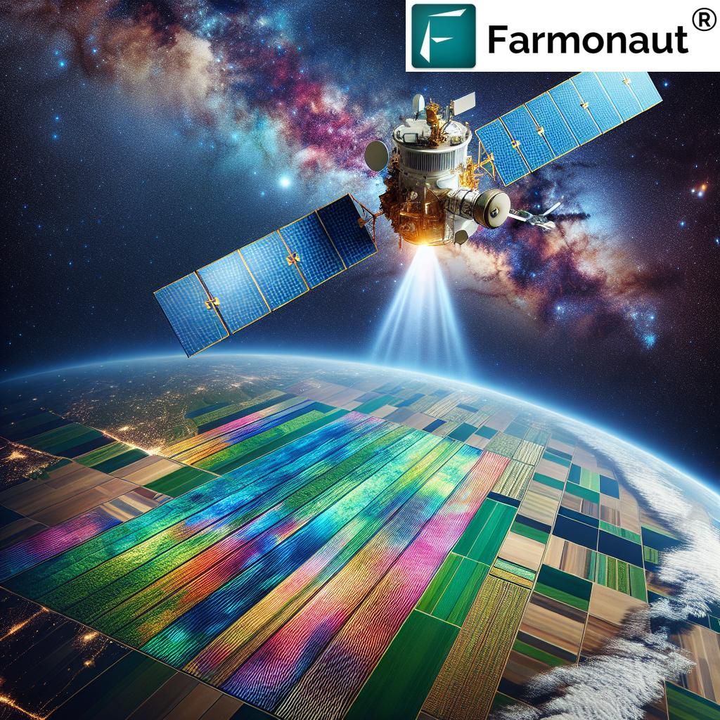
In recent years, the agricultural sector has witnessed a significant transformation, thanks to the integration of advanced technologies. At the forefront of this revolution is satellite-based crop monitoring, a game-changing approach that’s reshaping how we understand and manage our farms. We at Farmonaut are proud to be at the cutting edge of this innovation, offering farmers and agricultural professionals powerful tools to optimize their operations and boost productivity.
The Power of Satellite Imagery in Agriculture
Satellite imagery has emerged as a powerful tool in modern agriculture, providing farmers with a bird’s-eye view of their fields and valuable insights into crop health and soil conditions. This technology allows us to monitor vast areas of farmland with unprecedented accuracy and frequency, revolutionizing the way we approach agricultural management.
- Real-time Monitoring: Satellite imagery enables real-time monitoring of crop health and growth patterns.
- Large-scale Coverage: It provides comprehensive coverage of large agricultural areas, impossible with traditional methods.
- Non-invasive: Satellite monitoring is non-invasive, allowing for continuous observation without disturbing the crops or soil.
- Historical Data: It offers the ability to analyze historical data, helping in long-term planning and trend analysis.
Understanding Soil Moisture through Satellite Technology
One of the most critical aspects of crop management is maintaining optimal soil moisture levels. Traditional methods of soil moisture assessment often involve time-consuming and labor-intensive field sampling. However, with satellite-based monitoring, we can now assess soil moisture levels across entire fields with remarkable accuracy.
How Satellite Imagery Detects Soil Moisture
Satellites use various sensors to detect soil moisture:
- Microwave Radiometry: This technology measures the natural microwave radiation emitted by the Earth’s surface, which is influenced by soil moisture content.
- Synthetic Aperture Radar (SAR): SAR can penetrate cloud cover and vegetation to provide detailed information about soil moisture conditions.
- Thermal Infrared Sensors: These sensors measure surface temperature, which is closely related to soil moisture content.
By analyzing data from these sensors, we can create detailed maps of soil moisture distribution across agricultural lands. This information is invaluable for:
- Optimizing irrigation schedules
- Predicting crop stress due to water deficiency
- Improving water use efficiency
- Planning for drought mitigation
Temperature Monitoring: A Key to Crop Health
Temperature plays a crucial role in plant growth and development. Satellite-based temperature monitoring provides farmers with precise data on surface temperatures across their fields, helping them make informed decisions about crop management.
Benefits of Satellite-Based Temperature Monitoring
- Early Stress Detection: Identify areas of heat stress or frost risk before visible symptoms appear.
- Microclimate Analysis: Understand temperature variations within a field to optimize planting and harvesting schedules.
- Pest and Disease Management: Predict potential outbreaks based on temperature patterns.
- Climate Change Adaptation: Monitor long-term temperature trends to adapt farming practices to changing climate conditions.
The Role of Normalized Difference Vegetation Index (NDVI) in Crop Monitoring
The Normalized Difference Vegetation Index (NDVI) is a crucial tool in satellite-based crop monitoring. This index provides valuable insights into crop health and vigor by measuring the difference between near-infrared light reflected by vegetation and red light absorbed by it.
Understanding NDVI
NDVI values range from -1 to +1, with higher values indicating healthier vegetation:
- -1 to 0: Non-vegetated areas (water, bare soil, etc.)
- 0 to 0.33: Sparse vegetation
- 0.33 to 0.66: Moderate vegetation
- 0.66 to 1: Dense, healthy vegetation
By regularly monitoring NDVI values, farmers can:
- Assess crop health and vigor
- Detect early signs of stress or disease
- Optimize fertilizer application
- Estimate crop yields
- Monitor crop growth stages
Organic Carbon Analysis: The Foundation of Soil Health
Soil organic carbon is a critical component of soil health, influencing everything from water retention to nutrient availability. Traditionally, assessing soil organic carbon required extensive field sampling and laboratory analysis. However, satellite-based technologies are now enabling us to estimate soil organic carbon levels across large areas with increasing accuracy.
Satellite-Based Organic Carbon Analysis
Satellites use various spectral bands to estimate soil organic carbon content:
- Visible and Near-Infrared (VNIR) Spectroscopy: Analyzes the reflectance of soil in specific wavelengths to estimate organic carbon content.
- Shortwave Infrared (SWIR) Bands: Provide additional data on soil composition, including organic matter content.
- Thermal Infrared: Can indicate soil organic carbon levels through its influence on soil thermal properties.
By combining these spectral analyses with machine learning algorithms, we can create detailed maps of soil organic carbon distribution. This information is invaluable for:
- Assessing soil health and fertility
- Planning carbon sequestration strategies
- Optimizing fertilizer application
- Monitoring the impact of conservation practices
Water Management: Precision through Satellite Technology
Effective water management is crucial for sustainable agriculture, especially in regions facing water scarcity. Satellite-based technologies offer unprecedented capabilities for monitoring and optimizing water use in agriculture.
Satellite-Based Water Management Tools
- Evapotranspiration Mapping: Satellites can estimate crop water use by measuring evapotranspiration rates across fields.
- Irrigation Efficiency Assessment: By comparing water input with crop growth patterns, we can identify areas of over- or under-irrigation.
- Water Stress Detection: Early detection of water stress through spectral analysis allows for timely intervention.
- Watershed Monitoring: Satellite imagery helps in understanding broader hydrological patterns affecting farm water availability.
These tools enable farmers to:
- Optimize irrigation schedules
- Reduce water waste
- Improve crop water use efficiency
- Plan for water conservation measures
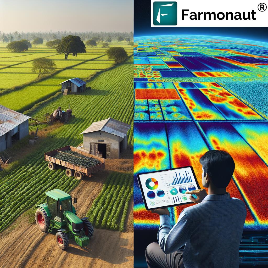
Agronomic Insights: From Space to Field
The true power of satellite-based crop monitoring lies in its ability to provide actionable agronomic insights. By integrating satellite data with ground-based observations and advanced analytics, we can offer farmers a comprehensive view of their fields and crops.
Key Agronomic Applications of Satellite Data
- Crop Type Mapping: Identify and map different crop types across large areas.
- Growth Stage Monitoring: Track crop development stages to optimize management practices.
- Yield Prediction: Use historical and current satellite data to forecast crop yields.
- Pest and Disease Detection: Identify potential outbreaks through early detection of vegetation changes.
- Fertilizer Optimization: Create variable-rate application maps based on crop health and soil conditions.
These insights enable farmers to make data-driven decisions, leading to:
- Improved crop quality and yield
- Reduced input costs
- Minimized environmental impact
- Enhanced overall farm profitability
The Geospatial Revolution in Agriculture
The integration of geospatial technologies in agriculture represents a paradigm shift in how we approach farming. Geographic Information Systems (GIS), Global Positioning Systems (GPS), and remote sensing are now essential tools in modern agriculture.
Key Components of Geospatial Agriculture
- Precision Mapping: Create detailed, high-resolution maps of fields and crops.
- Spatial Analysis: Analyze patterns and relationships in agricultural data across space and time.
- Decision Support Systems: Integrate multiple data sources to provide comprehensive decision-making tools.
- Automated Guidance Systems: Use GPS for precise equipment navigation and operation.
The benefits of geospatial technologies in agriculture include:
- Enhanced precision in all aspects of farming
- Improved resource allocation and management
- Better understanding of spatial variability within fields
- Facilitation of sustainable farming practices
Climate Change and Agriculture: Adapting with Satellite Technology
As climate change continues to impact agricultural systems worldwide, satellite-based monitoring becomes an increasingly valuable tool for adaptation and resilience.
Satellite Technology in Climate Change Adaptation
- Long-term Trend Analysis: Monitor changes in temperature, precipitation, and vegetation patterns over time.
- Extreme Weather Prediction: Improve early warning systems for droughts, floods, and other extreme events.
- Crop Suitability Mapping: Identify areas where crops are likely to thrive under changing climate conditions.
- Carbon Sequestration Monitoring: Track the effectiveness of carbon sequestration efforts in agricultural lands.
By leveraging these technologies, farmers can:
- Adapt crop selection and management practices to changing climate conditions
- Implement more resilient farming systems
- Contribute to climate change mitigation efforts
- Ensure long-term sustainability of their operations
The Future of Satellite-Based Crop Monitoring
As technology continues to advance, the future of satellite-based crop monitoring looks increasingly promising. We anticipate several exciting developments in the coming years:
Emerging Trends in Satellite-Based Agriculture
- Hyperspectral Imaging: More detailed spectral information for even more precise crop and soil analysis.
- AI and Machine Learning Integration: Advanced algorithms for better interpretation of satellite data and predictive modeling.
- Increased Temporal Resolution: More frequent satellite passes for near-real-time monitoring of agricultural lands.
- Integration with IoT and Drones: Combining satellite data with ground-based sensors and drone imagery for comprehensive farm monitoring.
- Blockchain Integration: Enhancing traceability and transparency in agricultural supply chains.
These advancements will enable:
- Even more precise and timely agricultural decision-making
- Greater automation in farm management
- Improved sustainability and resource efficiency
- Enhanced food security and quality assurance
Farmonaut: Pioneering Satellite-Based Crop Monitoring
At Farmonaut, we’re at the forefront of this agricultural revolution, offering cutting-edge satellite-based crop monitoring solutions. Our platform integrates advanced satellite imagery with AI-driven analytics to provide farmers with actionable insights for better farm management.
Key Features of Farmonaut’s Platform
- Real-time Crop Health Monitoring: Regular updates on crop health using NDVI and other vegetation indices.
- Soil Moisture Analysis: Accurate estimation of soil moisture levels across fields.
- Temperature Monitoring: Detailed temperature maps to identify potential stress areas.
- Water Management Tools: Optimize irrigation based on crop water needs and soil moisture levels.
- Yield Prediction: AI-driven yield forecasting based on historical and current data.
- Pest and Disease Alerts: Early warning system for potential outbreaks.
- Weather Forecasting: Integrated weather predictions for better planning.
Our platform is designed to be user-friendly and accessible, allowing farmers of all scales to benefit from advanced satellite technology. By leveraging our tools, farmers can:
- Increase crop yields
- Reduce input costs
- Improve resource efficiency
- Enhance overall farm profitability
- Adopt more sustainable farming practices
To experience the power of satellite-based crop monitoring firsthand, visit our app or explore our API for integration with your existing systems.
Comparison: Traditional Farming vs. Farmonaut’s Satellite-Based Monitoring
| Aspect | Traditional Farming | Farmonaut’s Satellite-Based Monitoring |
|---|---|---|
| Soil Moisture Assessment | Manual sampling, time-consuming | Real-time, field-wide moisture maps |
| Temperature Monitoring | Limited point measurements | Comprehensive temperature maps |
| Organic Carbon Analysis | Infrequent lab tests | Regular, non-invasive estimates |
| Water Management | Often based on experience or schedules | Data-driven, optimized irrigation |
| Climate Adaptation | Reactive, based on visible changes | Proactive, based on data trends and predictions |
FAQ: Satellite-Based Crop Monitoring
Q: How accurate is satellite-based crop monitoring?
A: Satellite-based crop monitoring can be highly accurate, with precision levels often exceeding 90% for many applications. However, accuracy can vary depending on factors such as satellite resolution, frequency of imagery, and the specific parameters being measured.
Q: Can satellite monitoring replace on-ground observations?
A: While satellite monitoring provides invaluable insights, it’s best used in conjunction with on-ground observations. The combination of satellite data and field verification offers the most comprehensive and accurate assessment of crop and soil conditions.
Q: How often is satellite imagery updated?
A: The frequency of satellite imagery updates can vary depending on the satellite system used. Some systems provide daily updates, while others may have a revisit time of several days to a week. At Farmonaut, we strive to provide the most up-to-date imagery possible for our users.
Q: Is satellite-based monitoring suitable for small farms?
A: Absolutely! While traditionally associated with large-scale agriculture, modern satellite-based monitoring solutions like Farmonaut are designed to be accessible and beneficial for farms of all sizes, including small and medium-sized operations.
Q: How does cloud cover affect satellite monitoring?
A: Cloud cover can indeed affect optical satellite imagery. However, many modern systems use a combination of optical and radar sensors, with the latter capable of penetrating cloud cover. Additionally, frequent revisits help ensure consistent data even in cloudy regions.
Q: Can satellite monitoring detect specific crop diseases?
A: While satellite monitoring can detect changes in crop health that may indicate disease, it typically cannot identify specific diseases. However, it can alert farmers to potential issues early on, allowing for timely field inspections and interventions.
Q: How does Farmonaut ensure data privacy and security?
A: At Farmonaut, we take data privacy and security very seriously. We employ state-of-the-art encryption and security protocols to protect all user data. Our systems are regularly audited and updated to maintain the highest standards of data protection.
Conclusion: Embracing the Future of Agriculture
As we look to the future of agriculture, it’s clear that satellite-based crop monitoring will play an increasingly crucial role. This technology offers unprecedented insights into crop health, soil conditions, and environmental factors, enabling farmers to make more informed decisions and adopt more sustainable practices.
At Farmonaut, we’re committed to making this powerful technology accessible to farmers worldwide. By combining cutting-edge satellite imagery with advanced analytics and user-friendly interfaces, we’re helping to usher in a new era of precision agriculture.
We invite you to join us on this journey towards smarter, more sustainable farming. Explore our platform, leverage our insights, and experience the transformative power of satellite-based crop monitoring for yourself.
Ready to revolutionize your farming practices? Download our Android app or get the iOS version today. For developers interested in integrating our technology into their own solutions, check out our API documentation.
Together, let’s cultivate a more sustainable and productive future for agriculture.
Subscribe to Farmonaut