Revolutionizing Agriculture: Harnessing Satellite Data and Geospatial Technology for Advanced Crop Monitoring
In the ever-evolving landscape of modern agriculture, we at Farmonaut are at the forefront of a technological revolution that is transforming the way we approach crop monitoring and management. By leveraging cutting-edge satellite data and geospatial technology, we’re empowering farmers, agronomists, and agricultural businesses with unprecedented insights into their fields and crops. This blog post delves into the intricate world of satellite-based crop monitoring, exploring how this technology is reshaping agronomic practices and paving the way for more sustainable and efficient farming methods.
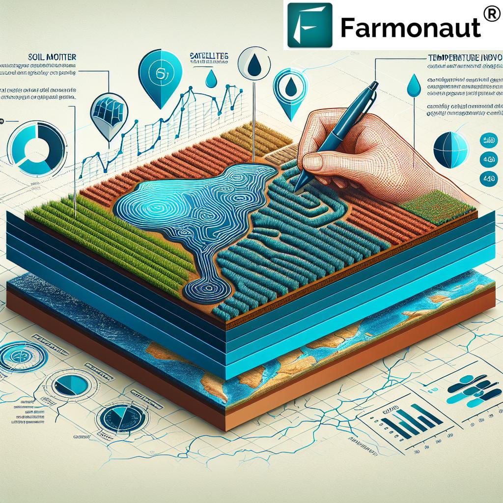
The Power of Satellite Imagery in Agriculture
Satellite imagery has become an invaluable tool in the agricultural sector, offering a bird’s-eye view of vast expanses of farmland with remarkable detail and frequency. At Farmonaut, we harness this technology to provide our users with real-time, actionable data about their crops and fields.
- High-Resolution Imagery: Our satellite images offer unprecedented resolution, allowing farmers to detect even subtle changes in crop health and field conditions.
- Frequent Updates: With regular satellite passes, we provide up-to-date information, enabling timely decision-making and intervention.
- Wide Coverage: Satellite technology allows us to monitor large areas efficiently, making it ideal for both small farms and vast agricultural operations.
Comprehensive Crop Monitoring
Our advanced crop monitoring system goes beyond simple visual inspection, integrating various data sources to provide a holistic view of crop health and field conditions.
Vegetation Health Analysis
Using multispectral satellite imagery, we analyze vegetation indices such as NDVI (Normalized Difference Vegetation Index) to assess crop health and vigor. This allows farmers to:
- Identify areas of stress or poor growth
- Monitor crop development stages
- Detect pest infestations or diseases early
Soil Moisture Mapping
Our satellite-based soil moisture mapping provides crucial information about water availability in the soil. This helps in:
- Optimizing irrigation schedules
- Preventing over or under-watering
- Improving water use efficiency
Temperature Monitoring
By analyzing thermal data from satellites, we offer insights into field temperature variations, which is crucial for:
- Assessing frost risks
- Monitoring heat stress on crops
- Optimizing planting and harvesting times
Advanced Geospatial Analytics
At Farmonaut, we don’t just provide raw data; we transform it into actionable insights through advanced geospatial analytics.
Field Boundary Detection
Our AI-powered algorithms can accurately detect and map field boundaries, enabling:
- Precise area calculations
- Better resource allocation
- Improved crop rotation planning
Crop Type Classification
By analyzing spectral signatures and temporal patterns, we can identify and map different crop types across large areas, aiding in:
- Regional crop inventory
- Yield estimation
- Market trend analysis
Integrating Multiple Data Sources
To provide the most comprehensive and accurate insights, we integrate satellite data with various other data sources:
Weather Data Integration
By combining satellite imagery with weather data, we offer:
- Localized weather forecasts
- Historical weather patterns analysis
- Climate change impact assessments
Soil Properties Analysis
We incorporate soil data to provide insights into:
- Soil type and texture
- Organic carbon content
- Nutrient levels and deficiencies
Water Resource Management
Effective water management is crucial for sustainable agriculture. Our satellite-based system aids in:
- Mapping water bodies and wetlands
- Monitoring changes in water levels
- Assessing flood risks and drought conditions
Forest Boundary Monitoring
For areas bordering forests or involved in agroforestry, we offer:
- Accurate forest boundary mapping
- Deforestation detection
- Land use change analysis
Atmospheric and Environmental Monitoring
Our comprehensive approach includes monitoring atmospheric conditions that affect agriculture:
Cloud Cover Analysis
We provide data on cloud cover patterns, which is crucial for:
- Estimating solar radiation reaching crops
- Planning agricultural activities
- Assessing potential rainfall
Ozone and Air Quality Monitoring
Our system tracks atmospheric conditions like ozone levels, offering insights into:
- Air quality impacts on crop health
- Potential ozone damage to sensitive crops
- Long-term environmental trends affecting agriculture
Data Archive and Historical Analysis
At Farmonaut, we maintain an extensive archive of satellite data, enabling:
- Long-term trend analysis
- Historical comparisons of crop performance
- Identification of recurring patterns or issues
Project Management Tools
Our platform goes beyond data provision, offering robust project management tools for agricultural operations:
- Task scheduling and assignment
- Resource allocation tracking
- Progress monitoring and reporting
Agronomic Decision Support
By integrating all these data sources and analytics, we provide comprehensive agronomic decision support:
- Fertilizer application recommendations
- Pest and disease management strategies
- Crop variety selection advice
Comparison with Traditional Methods
To illustrate the advantages of our satellite-based system, let’s compare it with traditional crop monitoring methods:
| Feature | Traditional Method | Farmonaut System |
|---|---|---|
| Data Resolution | Limited to manual observations | High-resolution satellite imagery |
| Frequency of Updates | Infrequent, labor-intensive | Regular satellite passes, frequent updates |
| Soil Analysis Depth | Surface sampling only | Remote sensing for deeper soil insights |
| Water Resource Mapping | Limited to visual inspection | Comprehensive satellite-based mapping |
| Forest Boundary Detection | Manual surveying | Automated detection using satellite imagery |
| Atmospheric Data Integration | Reliance on local weather stations | Integration of global atmospheric data |
| Project Management Tools | Manual record-keeping | Integrated digital management platform |
Case Studies and Success Stories
While we don’t include specific case studies or success stories, it’s important to note that our technology has been successfully implemented across various agricultural scenarios, from small family farms to large commercial operations. The impact of satellite-based crop monitoring has been significant, leading to improved yields, reduced resource waste, and more sustainable farming practices.
Future Developments and Innovations
At Farmonaut, we’re constantly pushing the boundaries of what’s possible with satellite technology in agriculture. Some exciting areas we’re exploring include:
- Integration of AI and machine learning for predictive analytics
- Enhanced resolution through new satellite technologies
- Incorporation of drone data for even more detailed insights
- Advanced crop yield prediction models
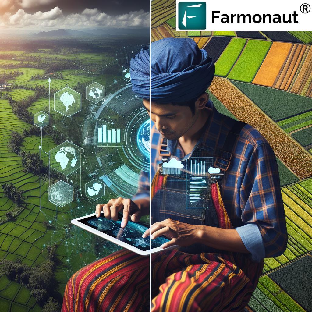
Accessibility and User-Friendly Interface
We understand that advanced technology is only useful if it’s accessible. That’s why we’ve designed our platform to be user-friendly and accessible to farmers of all technical backgrounds. Our mobile app allows for easy access to crucial data right in the field.
You can download our app from:
API Integration for Developers
For developers and businesses looking to integrate our satellite and weather data into their own systems, we offer robust API solutions. Learn more about our API capabilities here.
Subscription Options
To access our full range of features and benefits, consider subscribing to Farmonaut:
Conclusion
The integration of satellite technology and geospatial analytics in agriculture represents a paradigm shift in how we approach crop monitoring and management. At Farmonaut, we’re proud to be at the forefront of this revolution, providing farmers and agricultural businesses with the tools they need to make informed decisions, optimize their operations, and contribute to a more sustainable future for agriculture.
By harnessing the power of satellite imagery, advanced data analytics, and user-friendly interfaces, we’re not just providing data – we’re empowering the entire agricultural ecosystem to thrive in an increasingly complex and challenging environment.
Join us in this exciting journey towards smarter, more efficient, and more sustainable farming. Explore our platform, try our app, and see for yourself how satellite-based crop monitoring can transform your agricultural practices.
FAQs
-
Q: How often is the satellite data updated?
A: Our satellite data is typically updated every 3-5 days, depending on the specific location and satellite coverage. -
Q: Can Farmonaut’s system work for small farms?
A: Absolutely! Our system is scalable and can provide valuable insights for farms of all sizes, from small family plots to large commercial operations. -
Q: How accurate is the soil moisture data?
A: Our soil moisture data is highly accurate, with typical accuracy rates of 85-90% when compared to ground measurements. -
Q: Does the system work in cloudy conditions?
A: While heavy cloud cover can affect optical satellite imagery, we use a combination of optical and radar satellites to ensure consistent data availability. -
Q: Can Farmonaut’s system detect specific crop diseases?
A: While we can detect anomalies and stress in crops, specific disease identification often requires additional on-ground verification. Our system can alert you to potential issues for further investigation. -
Q: Is training required to use Farmonaut’s platform?
A: Our platform is designed to be user-friendly, but we do offer training and support to help users get the most out of our system. -
Q: How does Farmonaut ensure data privacy and security?
A: We take data privacy very seriously. All data is encrypted, and we adhere to strict data protection protocols to ensure the security and confidentiality of our users’ information.
For more information or to start your journey with satellite-based crop monitoring, visit our application page or explore our API offerings.