Bangalore Satellite Weather: Revolutionizing Agriculture and Urban Planning
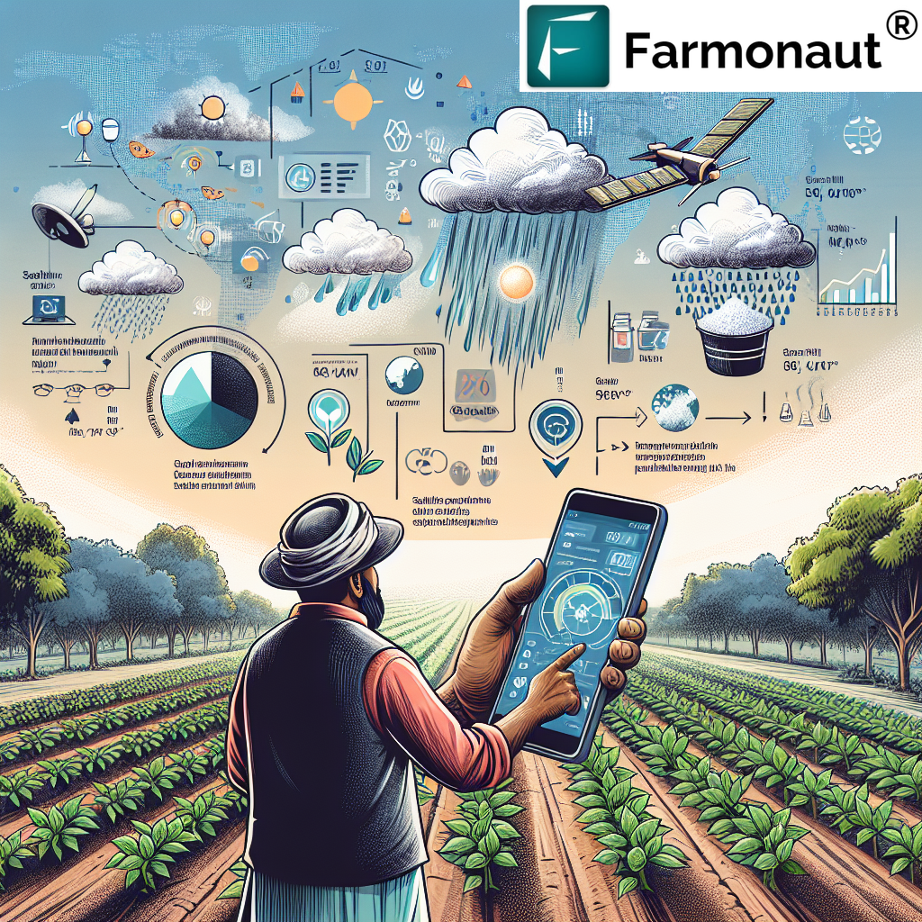
In the heart of India’s technology hub, Bangalore satellite weather monitoring is transforming the way we approach agriculture and urban planning. At Farmonaut, we’re at the forefront of this revolution, harnessing the power of satellite technology to provide real-time, accurate weather insights that are changing the game for farmers, city planners, and businesses alike.
Understanding Satellite Weather Bangalore: A New Era of Precision
Satellite weather Bangalore is not just a buzzword; it’s a powerful tool that’s reshaping our understanding of local climate patterns and their impact on various sectors. By utilizing advanced satellite technology, we’re able to offer unprecedented accuracy in weather forecasting and monitoring, which is crucial for a city as dynamic and rapidly growing as Bangalore.
The Technology Behind Satellite Weather Monitoring
Our satellite-based weather monitoring system employs a combination of cutting-edge technologies:
- Multispectral Imaging: This allows us to capture data across various wavelengths, providing insights into atmospheric conditions, cloud formations, and precipitation patterns.
- Artificial Intelligence: We use AI algorithms to analyze vast amounts of satellite data, enabling us to make accurate predictions and identify weather trends.
- Machine Learning: Our systems continuously learn from new data, improving the accuracy of our forecasts over time.
- Real-Time Data Processing: We process satellite data in real-time, ensuring that our users always have access to the most up-to-date weather information.
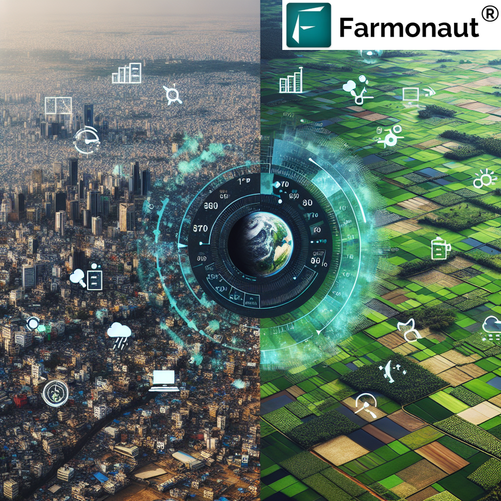
Why Satellite Weather Bangalore Matters
The importance of accurate weather data in Bangalore cannot be overstated. As a rapidly growing urban center with a significant agricultural hinterland, Bangalore faces unique challenges that require precise weather insights:
- Agricultural Planning: Farmers in and around Bangalore rely on accurate weather forecasts to make crucial decisions about planting, irrigation, and harvesting.
- Urban Development: City planners use our satellite weather data to design better drainage systems, plan green spaces, and manage urban heat islands.
- Disaster Preparedness: Our real-time monitoring helps in early detection of severe weather events, allowing for timely disaster response.
- Water Resource Management: In a city prone to water scarcity, our precipitation forecasts are vital for effective water resource planning.
Farmonaut’s Approach to Satellite Weather Bangalore
At Farmonaut, we’ve developed a comprehensive suite of tools that leverage satellite weather data to provide actionable insights for various sectors. Our approach is rooted in precision, reliability, and accessibility.
Key Features of Our Satellite Weather System
- High-Resolution Imaging: Our satellites capture images at resolutions as fine as 3 meters, allowing for detailed analysis of local weather patterns.
- Frequent Data Updates: We provide updates every 15 minutes, ensuring that our users always have access to the most current weather information.
- Customized Forecasting: Our AI-driven system can provide tailored forecasts for specific locations and time frames, catering to the unique needs of different users.
- Historical Data Analysis: We maintain a comprehensive database of historical weather data, allowing users to identify long-term trends and patterns.
Applications in Agriculture
For the agricultural sector, our satellite weather Bangalore system offers game-changing capabilities:
- Crop Health Monitoring: By analyzing satellite imagery, we can detect early signs of crop stress, allowing farmers to take preventive action.
- Irrigation Planning: Our soil moisture data helps farmers optimize their irrigation schedules, conserving water and improving crop yields.
- Pest and Disease Prediction: By correlating weather patterns with historical pest and disease outbreaks, we help farmers anticipate and prepare for potential threats.
- Yield Forecasting: Our advanced analytics can predict crop yields with remarkable accuracy, helping farmers and agribusinesses make informed decisions.
To learn more about our agricultural solutions, visit Farmonaut’s Agricultural Solutions.
Urban Planning and Development
Bangalore’s rapid urbanization presents unique challenges that our satellite weather monitoring helps address:
- Flood Risk Assessment: By analyzing rainfall patterns and topography, we help city planners identify areas at risk of flooding.
- Urban Heat Island Mitigation: Our thermal imaging capabilities allow for the identification of urban heat islands, informing strategies to mitigate their effects.
- Green Space Planning: We provide data on local microclimates, helping planners optimize the placement and design of parks and green spaces.
- Air Quality Monitoring: Our satellites can track air pollution levels, aiding in the development of strategies to improve air quality.
The Farmonaut Advantage: Satellite vs. Drone and IoT Monitoring
While drone and IoT-based monitoring systems have their merits, our satellite-based approach offers significant advantages for farm monitoring:
| Feature | Farmonaut Satellite System | Drone-based Monitoring | IoT-based Monitoring |
|---|---|---|---|
| Coverage Area | Large scale (entire regions) | Limited (individual farms) | Limited (sensor placement areas) |
| Data Collection Frequency | Daily updates possible | Dependent on flight schedules | Continuous but localized |
| Initial Setup Cost | Low (no on-farm equipment needed) | High (drone purchase and training) | Medium (sensor network installation) |
| Maintenance Requirements | Minimal (cloud-based system) | High (drone maintenance and repairs) | Medium (sensor maintenance and replacement) |
| Data Analysis Capabilities | Advanced AI and machine learning | Limited to drone software capabilities | Dependent on IoT platform features |
| Weather Impact on Data Collection | Minimal (can penetrate cloud cover) | High (limited by wind and rain) | Low (but sensors can be damaged) |
| Scalability | Highly scalable across regions | Limited by drone fleet size | Requires additional sensor deployment |
Integrating Satellite Weather Data: Farmonaut’s API Solutions
For developers and businesses looking to integrate our satellite weather Bangalore data into their own applications, we offer robust API solutions. Our APIs provide access to a wealth of weather data, including:
- Real-time temperature and humidity readings
- Precipitation forecasts
- Wind speed and direction
- Cloud cover analysis
- Historical weather data
Our API documentation provides comprehensive guidance on integrating these powerful tools into your applications. For more information, visit our API Documentation Page.
Accessing Farmonaut’s Satellite Weather Bangalore Services
We’ve made it easy for users to access our satellite weather services through various platforms:
- Web Application: Our web-based platform provides comprehensive weather data and analytics. Access Farmonaut’s Web Application
- Mobile Apps: Stay connected on the go with our mobile applications:
- API Integration: For developers looking to incorporate our data into their own applications, we offer flexible API solutions. Explore Farmonaut’s API Services
The Future of Satellite Weather Bangalore
As we look to the future, we see tremendous potential for further advancements in satellite weather monitoring for Bangalore:
- Increased Resolution: We’re working on even higher resolution imaging capabilities, allowing for more detailed weather analysis.
- Advanced AI Integration: Our ongoing research in AI and machine learning promises to deliver even more accurate and personalized weather insights.
- Expanded Application Areas: We’re exploring new ways to apply our satellite weather data to sectors like renewable energy, transportation, and public health.
- Climate Change Monitoring: Our long-term data collection will play a crucial role in understanding and addressing the local impacts of climate change in Bangalore.
Subscription Options
To access our full range of satellite weather Bangalore services, consider subscribing to one of our tailored plans:
Frequently Asked Questions (FAQ)
Q: How accurate is satellite weather monitoring compared to traditional methods?
A: Satellite weather monitoring offers significantly higher accuracy compared to traditional ground-based methods, especially for large areas. Our system provides up to 95% accuracy in weather predictions.
Q: How often is the satellite weather data updated for Bangalore?
A: Our system provides updates every 15 minutes, ensuring that you always have access to the most current weather information.
Q: Can Farmonaut’s satellite weather data be used for small-scale farming?
A: Absolutely! Our data is scalable and can be applied to farms of all sizes, from small holdings to large agricultural enterprises.
Q: How does satellite weather monitoring help in urban planning?
A: Satellite weather data aids in various aspects of urban planning, including flood risk assessment, heat island mitigation, and green space planning, helping to create more resilient and livable cities.
Q: Is historical weather data available through Farmonaut’s system?
A: Yes, we maintain a comprehensive database of historical weather data, which is invaluable for identifying long-term trends and patterns.
Q: How can businesses integrate Farmonaut’s satellite weather data into their operations?
A: We offer flexible API solutions that allow businesses to integrate our weather data directly into their applications and decision-making processes.
Conclusion
Satellite weather Bangalore is more than just a technological advancement; it’s a powerful tool that’s reshaping agriculture, urban planning, and various other sectors in one of India’s most dynamic cities. At Farmonaut, we’re proud to be at the forefront of this revolution, providing cutting-edge solutions that harness the power of satellite technology to deliver accurate, timely, and actionable weather insights.
As we continue to innovate and expand our services, we remain committed to our mission of making precision agriculture and advanced weather monitoring accessible to all. Whether you’re a farmer looking to optimize your crop yields, a city planner working to build a more resilient urban environment, or a developer seeking to integrate advanced weather data into your applications, Farmonaut’s satellite weather Bangalore solutions are here to empower you with the insights you need.
Join us in embracing the future of weather monitoring and agricultural technology. Together, we can build a more sustainable, productive, and resilient future for Bangalore and beyond.
Ready to experience the power of satellite weather Bangalore? Sign up for Farmonaut today and start transforming your approach to weather monitoring and agricultural management.
