Satellite Weather in India: Live Updates and Images for Rajkot and Beyond
Welcome to our comprehensive guide on satellite weather reporting in India, with a special focus on live weather updates for Rajkot and other regions. At Farmonaut, we understand the critical role that accurate and timely weather information plays in various sectors, especially agriculture. In this blog post, we’ll delve deep into the world of satellite weather monitoring, exploring its importance, applications, and how it’s revolutionizing weather forecasting and agricultural practices in India.
Understanding Satellite Weather Reporting in India
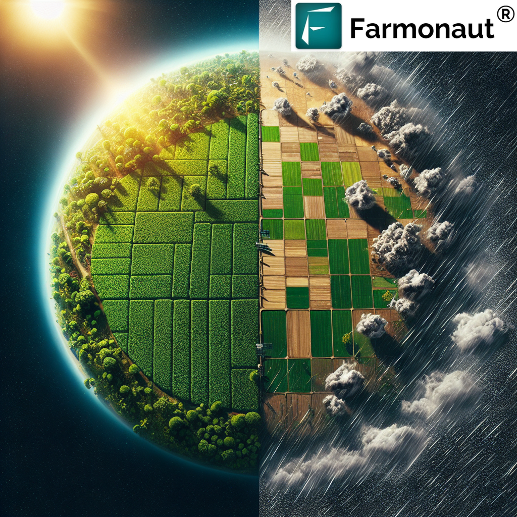
Satellite weather reporting has become an indispensable tool for meteorologists, farmers, and decision-makers across India. By leveraging advanced satellite technology, we can now obtain real-time, high-resolution images and data of weather patterns across the entire subcontinent. This technology has dramatically improved our ability to forecast weather conditions, track severe weather events, and make informed decisions in various sectors.
The Importance of India Satellite Weather Reports
India’s vast and diverse geography presents unique challenges for weather forecasting. From the snow-capped Himalayas in the north to the tropical coastlines in the south, the country experiences a wide range of climate conditions. Satellite weather reports provide a comprehensive view of these diverse weather patterns, offering several key benefits:
- Enhanced Accuracy: Satellite data improves the precision of weather forecasts.
- Wide Coverage: Satellites can monitor areas that are difficult to access with ground-based systems.
- Real-time Updates: Continuous monitoring allows for immediate detection of weather changes.
- Long-term Climate Analysis: Historical satellite data helps in studying climate trends over time.
Live Weather Satellite Imagery: A Focus on Rajkot
One of the most exciting aspects of satellite weather reporting is the ability to access live weather satellite imagery for specific regions. Let’s take a closer look at how this technology is being applied to provide live weather satellite Rajkot today updates.
Why Rajkot?
Rajkot, a major city in the state of Gujarat, serves as an excellent example of how satellite weather reporting can benefit urban and agricultural areas alike. The region’s semi-arid climate and importance in agriculture make it a critical area for weather monitoring. By focusing on live weather satellite Rajkot today, we can demonstrate the practical applications and benefits of this technology.
Accessing Live Weather Updates for Rajkot
At Farmonaut, we provide easy access to live satellite weather data for Rajkot and other regions across India. Our platform allows users to view:
- Real-time cloud cover and movement
- Precipitation patterns
- Temperature variations
- Wind direction and speed
To access these live updates, visit our Farmonaut app or use our API services for integration into your own systems.
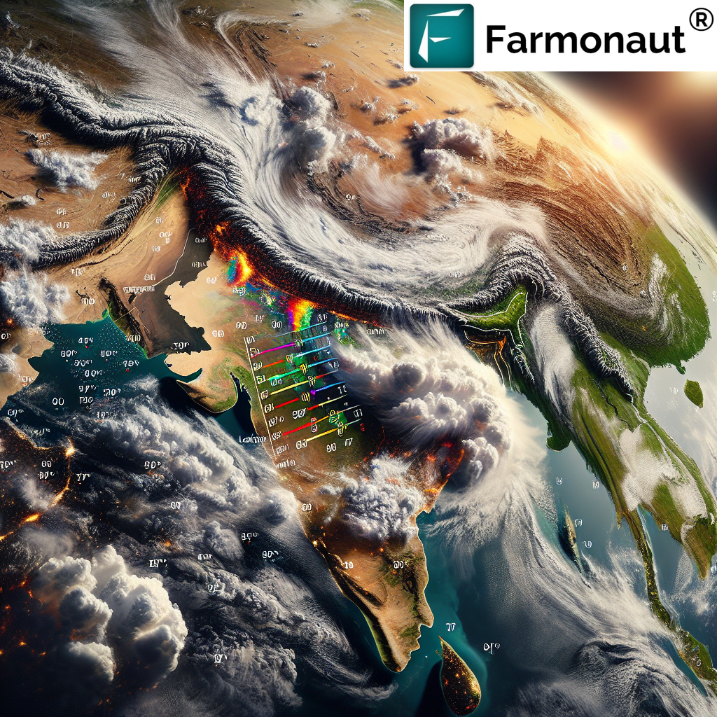
The Bigger Picture: Weather India Satellite Coverage
While our focus on Rajkot provides a localized example, it’s important to understand the broader context of weather India satellite coverage. Satellite weather monitoring in India is a comprehensive system that covers the entire country, providing valuable data for various applications.
Key Features of India’s Satellite Weather System
- Multiple Satellites: India operates several meteorological satellites as part of its INSAT series.
- Advanced Sensors: These satellites are equipped with state-of-the-art sensors for atmospheric and oceanic observations.
- 24/7 Monitoring: Continuous coverage ensures no weather event goes unnoticed.
- Data Integration: Satellite data is combined with ground-based observations for comprehensive weather analysis.
Applications of Weather India Satellite Data
The data collected through India’s satellite weather system has wide-ranging applications:
- Agriculture: Farmers use satellite weather data for crop planning and management.
- Disaster Management: Early warning systems for cyclones, floods, and other natural disasters.
- Aviation: Improved flight safety and efficiency through accurate weather forecasting.
- Marine Operations: Better navigation and safety for ships and offshore installations.
- Urban Planning: Long-term climate data aids in sustainable urban development.
Accessing Weather India Satellite Image Today Live
One of the most valuable resources for weather monitoring is the ability to access weather India satellite image today live. These real-time images provide an immediate snapshot of weather conditions across the country, allowing for quick decision-making and response to changing weather patterns.
How to Access Live Satellite Images
At Farmonaut, we’ve made it easy for users to access live satellite weather images for India:
- Mobile Apps: Download our app for Android or iOS to view live satellite images on your smartphone.
- Web Platform: Access our web-based platform for larger, more detailed views.
- API Integration: For developers and businesses, our API allows seamless integration of live satellite imagery into your applications.
Interpreting Satellite Weather Images
Understanding how to read and interpret satellite weather images is crucial for making the most of this technology. Here are some key elements to look for:
- Cloud Patterns: Different cloud formations indicate various weather conditions.
- Color Gradients: Often used to represent temperature or precipitation intensity.
- Movement and Direction: Arrows or animations show the direction of weather systems.
- Comparison Tools: Many platforms allow you to compare current images with historical data.
Farmonaut’s Role in Satellite Weather Monitoring
At Farmonaut, we’re proud to be at the forefront of integrating satellite weather data into practical applications, especially for agriculture. Our platform goes beyond simple weather reporting, offering advanced features that help farmers and agribusinesses make informed decisions.
Advanced Agricultural Applications
Our satellite-based farm management solutions include:
- Crop Health Monitoring: Using multispectral satellite images to assess vegetation health.
- Soil Moisture Analysis: Satellite data helps in understanding soil moisture levels for optimal irrigation.
- Yield Prediction: Combining weather data with crop health information for accurate yield forecasts.
- Pest and Disease Risk Assessment: Weather patterns can indicate increased risk of pest infestations or disease outbreaks.
Farmonaut vs. Traditional Monitoring Methods
To illustrate the advantages of our satellite-based system, let’s compare it with other farm monitoring methods:
| Feature | Farmonaut Satellite System | Drone-based Monitoring | IoT Sensors |
|---|---|---|---|
| Coverage Area | Large (entire fields at once) | Limited (requires multiple flights) | Point-specific |
| Frequency of Updates | Daily to weekly | As per flight schedule | Continuous |
| Initial Setup Cost | Low | High (drone purchase) | Medium to High |
| Maintenance | Minimal | Regular (battery, repairs) | Regular (battery changes, calibration) |
| Weather Dependency | Moderate (cloud cover can affect) | High (cannot fly in bad weather) | Low |
| Data Analysis | Advanced AI-driven insights | Requires separate analysis tools | Basic data reporting |
| Scalability | Highly scalable | Limited by operational capacity | Requires additional sensors for scaling |
The Future of Satellite Weather Monitoring in India
As technology continues to advance, the future of satellite weather monitoring in India looks promising. Here are some trends and developments we’re excited about:
- Higher Resolution Imagery: Next-generation satellites will provide even more detailed weather images.
- AI and Machine Learning Integration: Advanced algorithms will improve weather prediction accuracy.
- Hyperspectral Imaging: This technology will allow for more detailed analysis of atmospheric conditions.
- Increased Data Accessibility: More user-friendly platforms will make satellite weather data available to a broader audience.
Conclusion
Satellite weather monitoring has revolutionized how we understand and predict weather patterns in India. From providing live weather satellite Rajkot today updates to offering comprehensive weather India satellite coverage, this technology is invaluable for various sectors, especially agriculture.
At Farmonaut, we’re committed to harnessing the power of satellite technology to provide actionable insights for farmers and agribusinesses. By combining real-time weather data with advanced crop monitoring techniques, we’re helping to create a more sustainable and productive agricultural sector in India.
We invite you to explore our platform and see how satellite weather monitoring can benefit your operations. Whether you’re a farmer looking to optimize your crop management or a researcher studying climate patterns, our tools and resources are here to help.
FAQs
-
Q: How often are satellite weather images updated for India?
A: The frequency of updates can vary depending on the satellite system, but most weather satellites provide updates several times a day. At Farmonaut, we strive to offer the most recent data available. -
Q: Can I access historical satellite weather data for my region?
A: Yes, our platform provides access to historical satellite weather data, allowing you to analyze trends and patterns over time. -
Q: How accurate are satellite-based weather forecasts?
A: Satellite-based forecasts are highly accurate, especially when combined with other meteorological data. However, local conditions can sometimes affect precision. -
Q: Is Farmonaut’s satellite weather monitoring service available across all of India?
A: Yes, our service covers the entire Indian subcontinent, providing detailed weather information for all regions. -
Q: How can farmers benefit from using satellite weather data?
A: Farmers can use this data for better crop planning, irrigation management, pest control, and overall farm management decisions, leading to improved yields and resource efficiency.
Ready to experience the power of satellite weather monitoring for yourself? Subscribe to Farmonaut today and transform the way you understand and utilize weather data!
