Unlocking Earth’s Secrets: Geospatial Data and Satellite Solutions for Sustainable Agriculture and Emergency Management
In today’s rapidly evolving world, the intersection of technology and agriculture has opened up new frontiers in sustainable farming practices and emergency management. At Farmonaut, we are at the forefront of this revolution, harnessing the power of geospatial data, satellite imagery, and advanced analytics to transform the way we approach agriculture and respond to emergencies. In this comprehensive blog post, we’ll delve into the intricate world of earth observation and remote sensing, exploring how these technologies are reshaping our approach to land management, crop monitoring, and disaster response.
The Power of Geospatial Data in Modern Agriculture
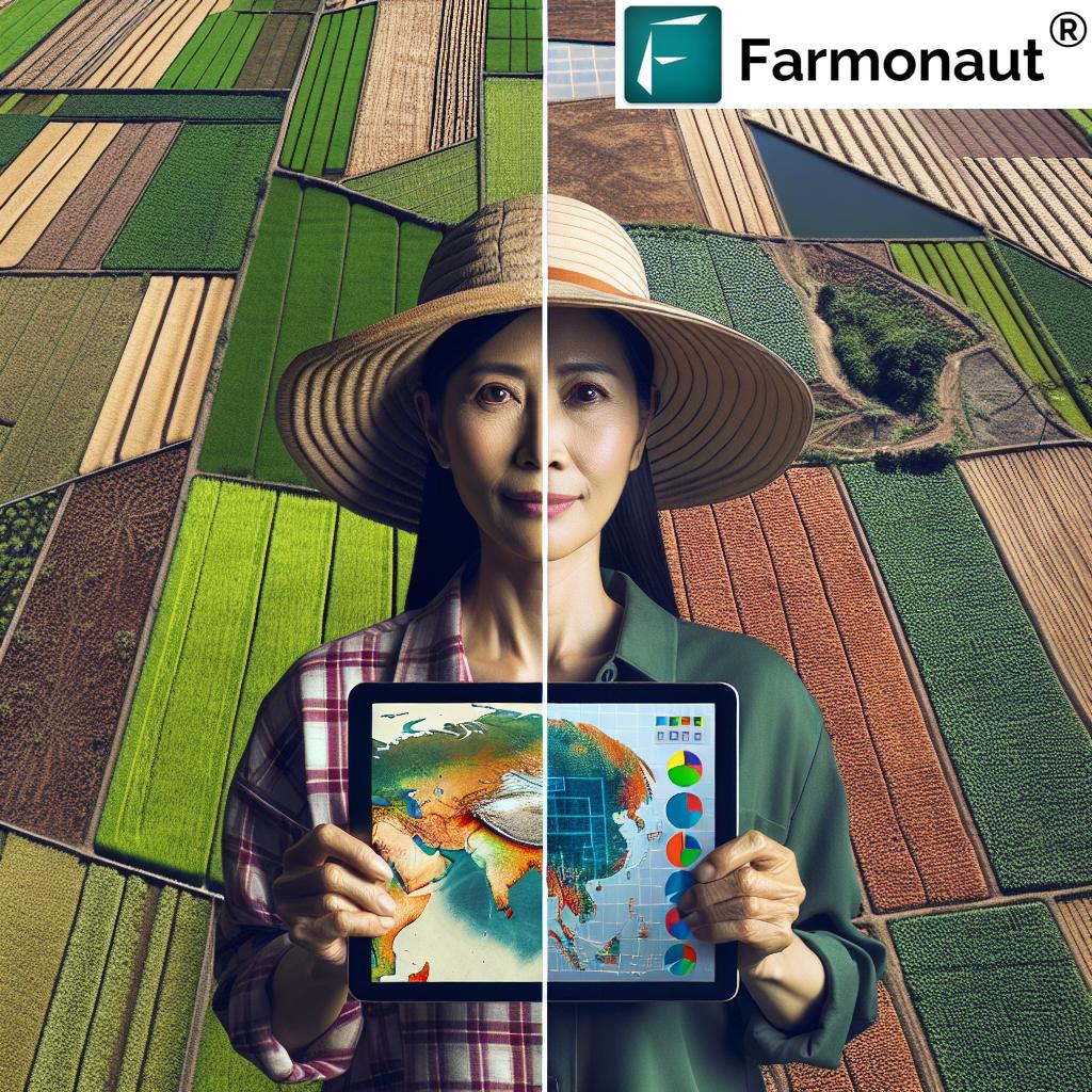
Geospatial data has become an indispensable tool in modern agriculture. By leveraging satellite imagery and advanced analytics, we can gain unprecedented insights into crop health, soil conditions, and environmental factors that influence agricultural productivity.
Precision Agriculture: A Game-Changer for Farmers
Precision agriculture, powered by geospatial data, allows farmers to optimize their resources and maximize yields. Here’s how:
- Crop Health Monitoring: Satellite imagery provides real-time data on crop health, enabling early detection of issues such as pest infestations or nutrient deficiencies.
- Soil Analysis: Geospatial data helps in creating detailed soil maps, allowing farmers to tailor their fertilizer and irrigation strategies to specific areas of their fields.
- Yield Prediction: By analyzing historical and current data, we can provide accurate yield predictions, helping farmers make informed decisions about harvest timing and resource allocation.
At Farmonaut, we’ve developed sophisticated tools that leverage this data to provide actionable insights to farmers. Our platform integrates seamlessly with various farm management systems, offering a comprehensive solution for agricultural optimization.
Sustainable Agriculture Practices
Sustainability is at the heart of modern agriculture, and geospatial data plays a crucial role in promoting environmentally friendly farming practices. Our satellite-based solutions help farmers:
- Reduce water usage through precise irrigation management
- Minimize chemical inputs by identifying areas that require treatment
- Monitor and reduce carbon footprints in agricultural operations
By providing detailed insights into land use and crop health, we empower farmers to make decisions that are not only economically beneficial but also environmentally sustainable.
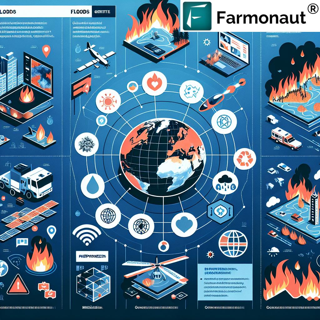
Emergency Management: Harnessing Satellite Technology for Rapid Response
In the realm of emergency management, timely and accurate information is critical. Satellite technology and geospatial data have revolutionized our ability to respond to natural disasters and other emergencies.
Disaster Monitoring and Assessment
Our satellite-based solutions provide invaluable support in disaster scenarios:
- Real-time Monitoring: Continuous satellite imagery allows for immediate detection of natural disasters such as floods, wildfires, or earthquakes.
- Damage Assessment: Post-disaster imagery helps in quickly assessing the extent of damage, facilitating efficient resource allocation for relief efforts.
- Evacuation Planning: Geospatial data aids in identifying safe evacuation routes and planning temporary shelters.
Predictive Analysis for Disaster Prevention
Beyond reactive measures, our advanced analytics capabilities enable predictive modeling for potential disasters:
- Identifying areas prone to flooding or landslides
- Monitoring drought conditions to prevent crop failures
- Tracking weather patterns to predict severe storms
This proactive approach allows for better preparedness and potentially mitigates the impact of natural disasters.
The Farmonaut Advantage: Integrating Cutting-Edge Technology
At Farmonaut, we pride ourselves on offering state-of-the-art solutions that leverage the latest advancements in satellite technology and data analytics. Our platform stands out due to several key features:
Advanced Satellite Imagery Processing
We utilize cutting-edge remote sensing techniques to process high-resolution satellite imagery, providing our users with clear, actionable insights. Our proprietary algorithms can detect subtle changes in vegetation health, soil moisture, and land use patterns, offering unparalleled accuracy in agricultural monitoring.
AI-Powered Analytics
Our analytic tools employ sophisticated machine learning algorithms to interpret complex geospatial data. This allows us to offer:
- Automated crop classification and health assessment
- Predictive modeling for yield forecasting
- Anomaly detection for early warning of crop stress or disease
User-Friendly Interface and Mobile Access
We understand the importance of accessibility, especially for farmers in remote areas. That’s why we’ve developed a user-friendly interface that can be accessed via web browsers and mobile apps. Our mobile applications are available for both Android and iOS devices:
- Android: Farmonaut on Google Play
- iOS: Farmonaut on App Store
Comprehensive API for Developers
For developers and businesses looking to integrate our geospatial data and analytics into their own systems, we offer a robust API with extensive documentation. Our developer resources include:
- Detailed API documentation: Farmonaut API Documentation
- Sample code and tutorials
- Technical support for integration
Educational Resources and Tutorials
We believe in empowering our users with knowledge. That’s why we offer a wealth of educational resources and tutorials to help farmers, emergency responders, and developers make the most of our platform:
- Webinars on satellite data interpretation
- Video tutorials on using our analytics tools
- Whitepapers on the latest advancements in remote sensing technology
- Case studies showcasing successful implementations of our solutions
These resources are designed to cater to users of all skill levels, from beginners to advanced professionals in the field of geospatial analysis.
Research and Innovation
At Farmonaut, we’re committed to pushing the boundaries of what’s possible with geospatial technology. Our research team collaborates with leading academic institutions and industry partners to develop innovative solutions for agriculture and emergency management.
Current Research Areas
- Hyperspectral imaging for enhanced crop health monitoring
- Integration of IoT sensors with satellite data for precision agriculture
- Advanced machine learning models for disaster prediction and assessment
- Blockchain technology for secure and transparent agricultural supply chains
We regularly publish our findings and participate in industry conferences to share our knowledge and contribute to the broader scientific community.
Customer Support and Technical Assistance
We understand that implementing new technology can be challenging. That’s why we offer comprehensive technical support to all our users:
- 24/7 customer support hotline
- Dedicated account managers for enterprise clients
- Regular system updates and maintenance
- Customized training programs for large-scale implementations
Our team of experts is always ready to assist you in maximizing the benefits of our geospatial solutions.
Comparative Analysis: Traditional Methods vs. Farmonaut’s Approach
| Feature | Traditional Methods | Farmonaut’s Approach | Benefits |
|---|---|---|---|
| Crop Health Monitoring | Manual field inspections, limited coverage | Satellite-based remote sensing, AI-powered analytics | Comprehensive coverage, early detection of issues, reduced labor costs |
| Yield Prediction | Historical data and manual estimations | Machine learning models using real-time satellite data | Higher accuracy, ability to adjust predictions based on current conditions |
| Disaster Assessment | Ground surveys, aerial photography | Real-time satellite imagery, automated damage assessment | Rapid response, wider coverage area, safer for assessment teams |
| Resource Management | Uniform application of resources | Precision agriculture techniques, variable rate application | Optimized resource use, reduced environmental impact, cost savings |
| Data Accessibility | Paper records, local databases | Cloud-based platform, mobile apps, API integration | Real-time access to data, improved collaboration, seamless integration with other systems |
Future Outlook: The Evolving Landscape of Geospatial Technology
As we look to the future, the potential applications of geospatial data and satellite technology continue to expand. Some exciting developments on the horizon include:
- Increased Satellite Coverage: The launch of more advanced earth observation satellites will provide even higher resolution imagery and more frequent data updates.
- Integration with 5G Networks: This will enable real-time data transmission from satellites to ground-based systems, further enhancing the speed and accuracy of our services.
- Advanced AI and Machine Learning: Continued improvements in AI algorithms will lead to more sophisticated analysis and predictive capabilities.
- Augmented Reality Applications: AR technology could revolutionize how farmers and emergency responders interact with geospatial data in the field.
At Farmonaut, we’re committed to staying at the forefront of these technological advancements, ensuring that our users always have access to the most cutting-edge tools and insights.
Conclusion: Empowering Sustainable Practices and Effective Emergency Response
The integration of geospatial data, satellite technology, and advanced analytics has opened up new possibilities in agriculture and emergency management. At Farmonaut, we’re proud to be at the forefront of this technological revolution, providing tools and insights that empower farmers, emergency responders, and policymakers to make informed decisions.
From optimizing crop yields and promoting sustainable farming practices to enabling rapid disaster response and predictive emergency management, our solutions are helping to create a more resilient and sustainable future. As we continue to innovate and expand our capabilities, we remain committed to our core mission: leveraging technology to address some of the world’s most pressing challenges in agriculture and emergency management.
Join us in this exciting journey towards a more sustainable and secure future. Explore our platform, engage with our resources, and discover how Farmonaut can transform your approach to agriculture and emergency management.
Ready to Get Started?
Experience the power of Farmonaut’s geospatial solutions for yourself. Sign up for our services today and take the first step towards revolutionizing your agricultural practices or enhancing your emergency management capabilities.
Frequently Asked Questions (FAQ)
1. What is geospatial data and how does it benefit agriculture?
Geospatial data refers to information about objects, events, or phenomena that have a location on the earth’s surface. In agriculture, it helps farmers make informed decisions about crop management, resource allocation, and yield optimization by providing detailed insights into field conditions, crop health, and environmental factors.
2. How accurate is satellite-based crop monitoring?
Satellite-based crop monitoring can be highly accurate, with resolution capabilities down to a few meters. Our advanced processing algorithms further enhance this accuracy, allowing for precise detection of crop health issues, yield estimation, and resource management recommendations.
3. Can Farmonaut’s solutions be used for small-scale farming?
Absolutely! Our solutions are scalable and can be tailored to farms of all sizes. We offer affordable packages specifically designed for small-scale farmers, ensuring that the benefits of precision agriculture are accessible to all.
4. How often is satellite imagery updated?
The frequency of satellite imagery updates depends on the specific satellite and service package. We offer options ranging from daily to weekly updates, allowing users to choose the frequency that best suits their needs and budget.
5. Is internet connectivity required to use Farmonaut’s mobile app?
While an internet connection is required for real-time updates and syncing with our cloud-based platform, our mobile app also offers offline functionality for basic features. This ensures that farmers in areas with limited connectivity can still benefit from our tools.
6. How does Farmonaut support emergency management efforts?
We provide real-time satellite imagery and analytics for rapid disaster assessment, support evacuation planning with up-to-date geospatial data, and offer predictive modeling for potential natural disasters. This helps emergency responders make quick, informed decisions in critical situations.
7. Can developers integrate Farmonaut’s data into their own applications?
Yes, we offer a comprehensive API that allows developers to integrate our geospatial data and analytics into their own applications. Detailed documentation and support are available to facilitate seamless integration.
8. What kind of technical support does Farmonaut provide?
We offer 24/7 customer support, dedicated account managers for enterprise clients, regular system updates, and customized training programs. Our team is committed to ensuring that you get the most out of our platform.
9. How does Farmonaut ensure data security and privacy?
We employ industry-standard encryption protocols and secure cloud storage to protect all user data. Our privacy policy ensures that your information is never shared without your explicit consent.
10. Can Farmonaut’s solutions be customized for specific crops or regions?
Yes, our platform is highly customizable. We can tailor our analytics and recommendations to specific crops, regions, and farming practices, ensuring that you receive the most relevant and actionable insights for your unique situation.