Unveiling the Sky: How Satellites and Drones See Through Clouds
In the ever-evolving world of remote sensing and precision agriculture, one question that frequently arises is: “Can satellites see through clouds?” This question is crucial for farmers, researchers, and various industries relying on satellite imagery for decision-making. At Farmonaut, we’ve delved deep into this topic to bring you a comprehensive understanding of how satellites and drones navigate the challenges posed by cloud cover.
Understanding Satellite Imagery and Cloud Cover
Before we dive into the intricacies of satellite technology and cloud penetration, it’s essential to understand the basics of satellite imagery and the impact of clouds on data collection.
The Basics of Satellite Imagery
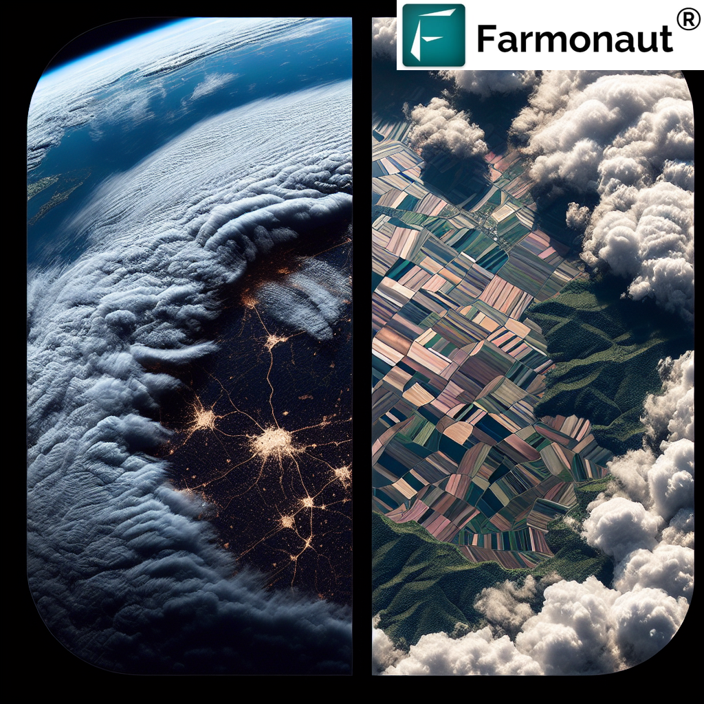
Satellite imagery is a powerful tool used in various fields, including agriculture, meteorology, and environmental monitoring. These images are captured by sensors aboard satellites orbiting the Earth. These sensors detect and measure different types of electromagnetic radiation reflected or emitted from the Earth’s surface.
However, one of the most significant challenges in satellite imagery is cloud cover. Clouds can obstruct the view of the Earth’s surface, potentially rendering satellite images unusable for certain applications. This is where the question “can satellites see through clouds” becomes particularly relevant.
The Impact of Clouds on Satellite Imagery
Clouds are essentially water droplets or ice crystals suspended in the atmosphere. They can significantly affect the quality and usability of satellite imagery in several ways:
- Obstruction: Thick clouds can completely block the view of the Earth’s surface, making it impossible for optical satellites to capture usable images.
- Partial Obscuration: Even thin clouds or haze can partially obscure the surface, reducing image quality and potentially affecting data interpretation.
- Shadow Effects: Clouds cast shadows on the ground, which can alter the spectral signatures of land features, potentially leading to misinterpretation of data.
Can Satellites See Through Clouds?
The short answer to “can satellites see through clouds” is both yes and no, depending on the type of satellite technology used. Let’s explore this in more detail.
Optical Satellites and Cloud Cover
Conventional optical satellites, which operate in the visible and near-infrared spectrum, cannot see through clouds. These satellites work similarly to our eyes or digital cameras, capturing light reflected from the Earth’s surface. When clouds are present, they reflect or scatter most of the light, preventing it from reaching the Earth’s surface and back to the satellite sensor.
Radar Satellites: Seeing Through Clouds
While optical satellites struggle with cloud cover, radar satellites can indeed “see” through clouds. Radar satellites, such as those using Synthetic Aperture Radar (SAR) technology, emit their own energy and measure the reflected signals. These signals can penetrate clouds, allowing for imaging in all weather conditions, day or night.
At Farmonaut, we utilize a combination of optical and radar satellite data to provide comprehensive and reliable agricultural insights, regardless of weather conditions.
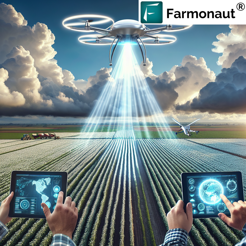
The Role of ‘Drone Satellites’ in Cloud Penetration
While the term ‘drone satellites’ is not technically accurate (as drones operate within the Earth’s atmosphere while satellites orbit in space), it’s worth discussing how drones complement satellite technology in overcoming cloud cover challenges.
Drones: A Low-Altitude Solution
Drones, or Unmanned Aerial Vehicles (UAVs), offer a unique advantage when it comes to cloud cover. Operating at much lower altitudes than satellites, drones can often fly below cloud layers, capturing high-resolution imagery of the Earth’s surface even when satellite views are obstructed.
Integrating Drone and Satellite Data
At Farmonaut, we recognize the value of integrating multiple data sources. While our primary focus is on satellite-based solutions, we also incorporate drone data when available to provide the most comprehensive and accurate insights to our users.
Advanced Technologies for Seeing Through Clouds
As technology advances, new methods are being developed to address the challenge of cloud cover in satellite imagery. Here are some cutting-edge approaches:
Multi-Temporal Compositing
This technique involves combining images taken over multiple dates to create a cloud-free composite. By selecting the clearest pixels from each image, it’s possible to construct a comprehensive view of the Earth’s surface, even in areas prone to frequent cloud cover.
Cloud-Penetrating Wavelengths
Some satellites are equipped with sensors that operate in wavelengths capable of penetrating thin clouds or haze. For instance, shortwave infrared (SWIR) sensors can provide clearer images through certain types of atmospheric conditions.
AI and Machine Learning
Artificial Intelligence and Machine Learning algorithms are being developed to better interpret partially cloudy images, fill in gaps, and even predict surface conditions based on historical data and current atmospheric conditions.
Farmonaut’s Approach to Cloud-Free Monitoring
At Farmonaut, we understand the critical importance of reliable, cloud-free monitoring for agricultural applications. Our approach combines multiple technologies and strategies to ensure consistent, high-quality data for our users:
- Multi-Satellite Constellation: We utilize data from multiple satellite sources, including both optical and radar satellites, to maximize the chances of capturing clear imagery.
- Advanced Processing Algorithms: Our proprietary algorithms process and analyze satellite data, accounting for cloud cover and other atmospheric conditions to provide accurate insights.
- Temporal Analysis: By analyzing data over time, we can identify trends and patterns even when individual images are affected by cloud cover.
- Integration with Weather Data: We incorporate real-time and forecasted weather data to provide context for satellite observations and help users plan their activities around expected cloud cover.
To experience the power of our cloud-resilient monitoring system, visit our Farmonaut app.
The Future of Satellite Imaging and Cloud Penetration
As technology continues to advance, we can expect even more innovative solutions to the challenge of cloud cover in satellite imaging. Some exciting developments on the horizon include:
Improved SAR Technology
Next-generation SAR satellites promise even higher resolution and more frequent revisit times, providing near-continuous monitoring capabilities regardless of cloud conditions.
Miniaturization and Constellation Deployments
The trend towards smaller, more affordable satellites is enabling the deployment of large constellations. These constellations can provide more frequent imaging opportunities, increasing the chances of capturing cloud-free images.
Advanced AI and Data Fusion
Continued advancements in AI and data fusion techniques will allow for even better integration of multiple data sources, including optical satellites, radar satellites, drones, and ground-based sensors.
Farmonaut Satellite System vs. Drone and IoT-based Farm Monitoring
| Feature | Farmonaut Satellite System | Drone-based Monitoring | IoT-based Monitoring |
|---|---|---|---|
| Coverage Area | Global | Limited by flight range | Limited by sensor placement |
| Frequency of Data Collection | Daily to weekly | On-demand, limited by resources | Continuous, real-time |
| Weather Independence | High (with radar satellites) | Low (affected by wind, rain) | Moderate (some sensors affected by weather) |
| Initial Setup Cost | Low | High | Moderate to High |
| Maintenance Requirements | Low | High | Moderate |
| Data Processing Complexity | High (handled by Farmonaut) | Moderate | Low to Moderate |
| Scalability | Highly Scalable | Limited Scalability | Moderately Scalable |
Leveraging Farmonaut’s Technology for Your Agricultural Needs
At Farmonaut, we’re committed to providing cutting-edge solutions that overcome the challenges of cloud cover and deliver reliable, actionable insights for agriculture. Our platform offers:
- Cloud-Resilient Monitoring: By combining optical and radar satellite data, we ensure consistent monitoring even in cloudy conditions.
- AI-Powered Insights: Our Jeevn AI advisory system analyzes satellite data to provide personalized recommendations for crop management.
- User-Friendly Interface: Access our powerful tools through our web and mobile apps, available on Google Play and the App Store.
- Developer-Friendly API: Integrate our satellite and weather data into your own applications with our API.
To start leveraging the power of cloud-penetrating satellite technology for your agricultural operations, consider subscribing to Farmonaut:
Conclusion
The question “can satellites see through clouds” is complex, with the answer depending on the type of satellite technology used. While traditional optical satellites struggle with cloud cover, radar satellites and advanced processing techniques are revolutionizing our ability to monitor the Earth’s surface regardless of weather conditions.
At Farmonaut, we’re at the forefront of this technological revolution, combining multiple satellite technologies, advanced algorithms, and AI to provide reliable, cloud-resilient agricultural monitoring solutions. By leveraging these cutting-edge technologies, we’re empowering farmers and agribusinesses to make informed decisions, optimize their operations, and contribute to a more sustainable and productive agricultural future.
As we continue to push the boundaries of what’s possible in satellite imaging and data analysis, we remain committed to delivering innovative solutions that address the real-world challenges faced by the agricultural community. The future of farming is here, and it’s clearer than ever – even through the clouds.
FAQ Section
1. Can optical satellites see through clouds?
No, traditional optical satellites cannot see through clouds. They rely on visible and near-infrared light, which is blocked or scattered by cloud cover.
2. What types of satellites can see through clouds?
Radar satellites, particularly those using Synthetic Aperture Radar (SAR) technology, can effectively “see” through clouds by emitting their own energy and measuring the reflected signals.
3. How does Farmonaut deal with cloud cover in its agricultural monitoring?
Farmonaut uses a combination of optical and radar satellite data, along with advanced processing algorithms, to provide consistent monitoring even in cloudy conditions. We also integrate multiple data sources and employ temporal analysis to ensure reliable insights.
4. Are drones better than satellites for avoiding cloud cover issues?
Drones can fly below cloud layers, making them useful for local, high-resolution imaging when clouds obstruct satellite views. However, they have limited coverage compared to satellites. At Farmonaut, we believe in integrating both technologies for comprehensive monitoring.
5. How often can Farmonaut provide cloud-free images of my farm?
The frequency of cloud-free images depends on various factors, including your location and seasonal weather patterns. However, by using multiple satellite sources and advanced processing techniques, we strive to provide regular, reliable insights regardless of cloud conditions.
6. Can Farmonaut’s technology work in areas with frequent cloud cover?
Yes, our use of radar satellite data and advanced processing algorithms allows us to provide valuable insights even in areas with persistent cloud cover.
7. How does cloud cover affect the accuracy of Farmonaut’s agricultural insights?
While heavy cloud cover can impact optical satellite data, our use of radar satellites and multi-temporal analysis helps maintain high accuracy in our agricultural insights, even in cloudy conditions.
8. Is Farmonaut’s satellite monitoring affected by night-time or seasonal changes?
No, our use of radar satellite technology allows for consistent monitoring regardless of time of day or season. Radar satellites can collect data 24/7, providing reliable insights year-round.
9. How does Farmonaut’s satellite system compare to ground-based sensors for farm monitoring?
While ground-based sensors provide localized, real-time data, Farmonaut’s satellite system offers comprehensive coverage of large areas without the need for on-site installation or maintenance. Our system is particularly advantageous for monitoring expansive or remote agricultural lands.
10. Can I integrate Farmonaut’s cloud-resilient satellite data into my own farm management systems?
Yes, Farmonaut offers an API that allows you to integrate our satellite and weather data into your own applications. You can find more information in our API documentation.
