INTRODUCTION:
In recent years, the impact of climate change has become increasingly evident, posing significant challenges to agricultural practices and food security in various regions. In countries like Rwanda and Kenya, where agriculture plays a crucial role in the economy and sustenance of the population, addressing the effects of climate change is of paramount importance. Farmonaut, a pioneering company specializing in satellite services for agriculture, has joined forces with the Fair Climate Fund (FCF) to implement innovative solutions for carbon management in these countries.
This article explores the collaborative efforts of Farmonaut and FCF, examining the potential benefits and impacts on the agricultural sector. Rwanda and Kenya are susceptible to climate change, experiencing irregular rainfall patterns, increased temperatures, and prolonged droughts. These changes pose significant challenges to agricultural productivity and food security. Smallholder farmers, who make up a significant portion of the population, are particularly vulnerable to these climatic variations, as their livelihoods heavily rely on rain-fed agriculture.
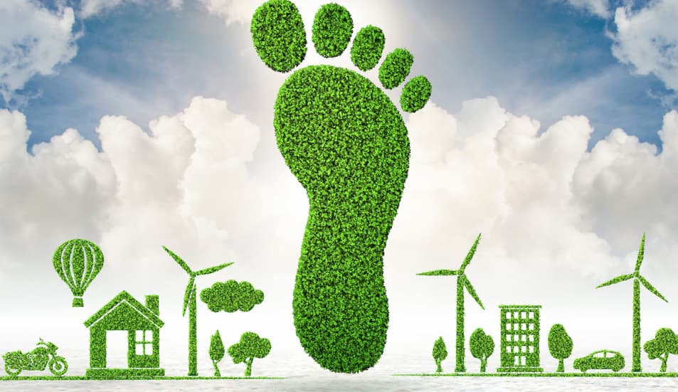
Agricultural practices contribute to greenhouse gas emissions, exacerbating climate change. Deforestation for agricultural expansion further intensifies the carbon footprint of these regions. Farmonaut assists Rwanda and Kenya to recognize the need to address these challenges, and through collaborative efforts with organizations like the Fair Climate Fund, they aim to implement sustainable practices and mitigate carbon emissions.
Understanding Satellite Services
Satellite services have revolutionized the agricultural industry by providing invaluable data and insights to farmers and land managers. Through satellite imagery, remote sensing, and advanced analytics, farmers can monitor crop health, optimize irrigation practices, detect pests and diseases, and improve overall productivity. These services offer real-time information and enable precise decision-making for effective farm management.
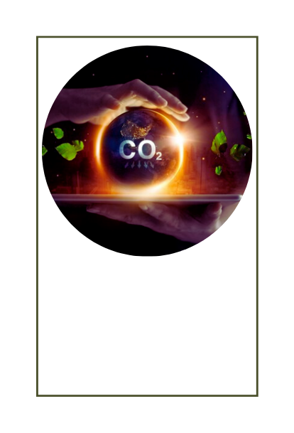
Satellite technology plays a crucial role in carbon management by providing valuable data and insights that enable effective monitoring, measurement, and mitigation of carbon emissions.
FARMONAUT’S Organic
Carbon data exhibits
90-95% accuracy
in the past 1.5 years
Here are some ways in which satellite technology helps in carbon management:
- Carbon Monitoring: Satellites equipped with sensors and instruments can accurately measure carbon dioxide (CO2) concentrations in the atmosphere. By collecting data on greenhouse gas concentrations on a global scale, satellites provide a comprehensive understanding of carbon emissions and their sources. This information is essential for developing targeted strategies to reduce emissions and improve carbon management practices.
Fair Climate Fund make utilization of Farmonaut’s Satellite data for acquiring Carbon Content related advisory, which helps them in assessing the overall organic carbon content, thereby enabling FCF to provide accurate strategies and guidance to the local farmers and agricultural communities.
- Deforestation Detection and Monitoring: Satellites can detect changes in land cover, including deforestation and forest degradation. By monitoring forested areas over time, satellites provide valuable insights into deforestation rates, helping identify regions with high carbon emissions due to land-use changes. This information is crucial for implementing reforestation initiatives and mitigating the carbon footprint caused by deforestation.
- Soil Carbon Mapping: Satellites can capture high-resolution imagery and use advanced algorithms to map soil properties and carbon content. This data helps in identifying areas with high carbon storage potential, guiding land managers in adopting practices that promote carbon sequestration in soils. By optimizing land management techniques, farmers can increase soil carbon levels and reduce carbon emissions.
- Precision Agriculture: Satellite imagery combined with remote sensing techniques enables precision agriculture, optimizing resource use and reducing emissions. Farmers can access data on soil moisture, nutrient levels, and crop health, allowing them to make informed decisions regarding irrigation, fertilization, and pesticide use. By avoiding overapplication of inputs and optimizing farm practices, farmers can minimize emissions associated with excessive fertilizer use and irrigation.
- Forest Carbon Monitoring: Satellites equipped with lidar technology can measure the biomass and structure of forests. This information helps estimate forest carbon stocks and monitor changes in forest biomass over time. By accurately quantifying carbon stored in forests, satellite technology aids in assessing the effectiveness of forest conservation efforts and carbon offset projects.
- Emission Hotspot Detection: Satellites can identify emission hotspots, such as industrial facilities or areas with high levels of air pollution. By pinpointing these sources, satellite technology helps policymakers and regulatory bodies focus their efforts on reducing emissions from specific sectors or regions.
- Verification of Emission Reduction Initiatives: Satellites can be used to verify the effectiveness of emission reduction initiatives, such as renewable energy projects or carbon offset programs. By monitoring changes in emissions over time, satellites provide independent and objective data to assess the impact of these initiatives accurately.
Farmonaut : scaling out its services
Farmonaut, is all set to scale out its services in providing accurate organic carbon content data to other regions as well. This expansion aims to leverage Farmonaut’s expertise in satellite technology and data analytics to support carbon management efforts globally.
Farmonaut’s services have the potential to contribute significantly to global carbon management efforts. By providing accurate organic carbon data to other regions, Farmonaut enables land managers and policymakers to make informed decisions about land use, reforestation, and carbon offset initiatives.
The partnership between Farmonaut and the Fair Climate Fund brings together expertise in satellite technology, carbon management, and sustainable development. This collaboration ensures that Farmonaut’s expanded services align with the FCF’s mission of supporting projects that mitigate climate change while empowering local communities.
Farmonaut’s scaled-out services not only provide organic carbon data but also contribute to building knowledge and capacity in carbon management. By working with local stakeholders, such as farmers, land managers, and government agencies, Farmonaut facilitates knowledge sharing and training on sustainable land management practices, promoting long-term sustainability and resilience.
In summary, Farmonaut’s scaling out of its services to provide accurate organic carbon content data to other regions, in collaboration with the Fair Climate Fund, enables the global expansion of carbon management efforts. By leveraging advanced satellite technology, data-driven decision-making, and sustainable agriculture practices, Farmonaut supports carbon sequestration, soil health, and sustainable land management on a broader scale.