Revolutionizing Agriculture: Geospatial Analytics for Forest Monitoring, Crop Health, and Yield Prediction
In today’s rapidly evolving agricultural landscape, the integration of geospatial analytics has become a game-changer for both forest management and crop production. At Farmonaut, we are at the forefront of this revolution, offering cutting-edge solutions that harness the power of satellite imagery, artificial intelligence, and data analytics to transform the way we monitor and manage our natural resources and agricultural lands.
The Importance of Geospatial Analytics in Agriculture and Forestry
Geospatial analytics plays a crucial role in modern agriculture and forestry management. By leveraging satellite imagery and advanced data processing techniques, we can gain valuable insights into various aspects of our ecosystems and agricultural practices. This technology allows us to:
- Monitor large areas of land efficiently
- Detect changes in vegetation health and cover
- Analyze water stress and soil moisture levels
- Predict crop yields and forest productivity
- Track deforestation and land use changes
- Optimize resource management in agriculture
Let’s delve deeper into how geospatial analytics is revolutionizing both forest monitoring and crop management.
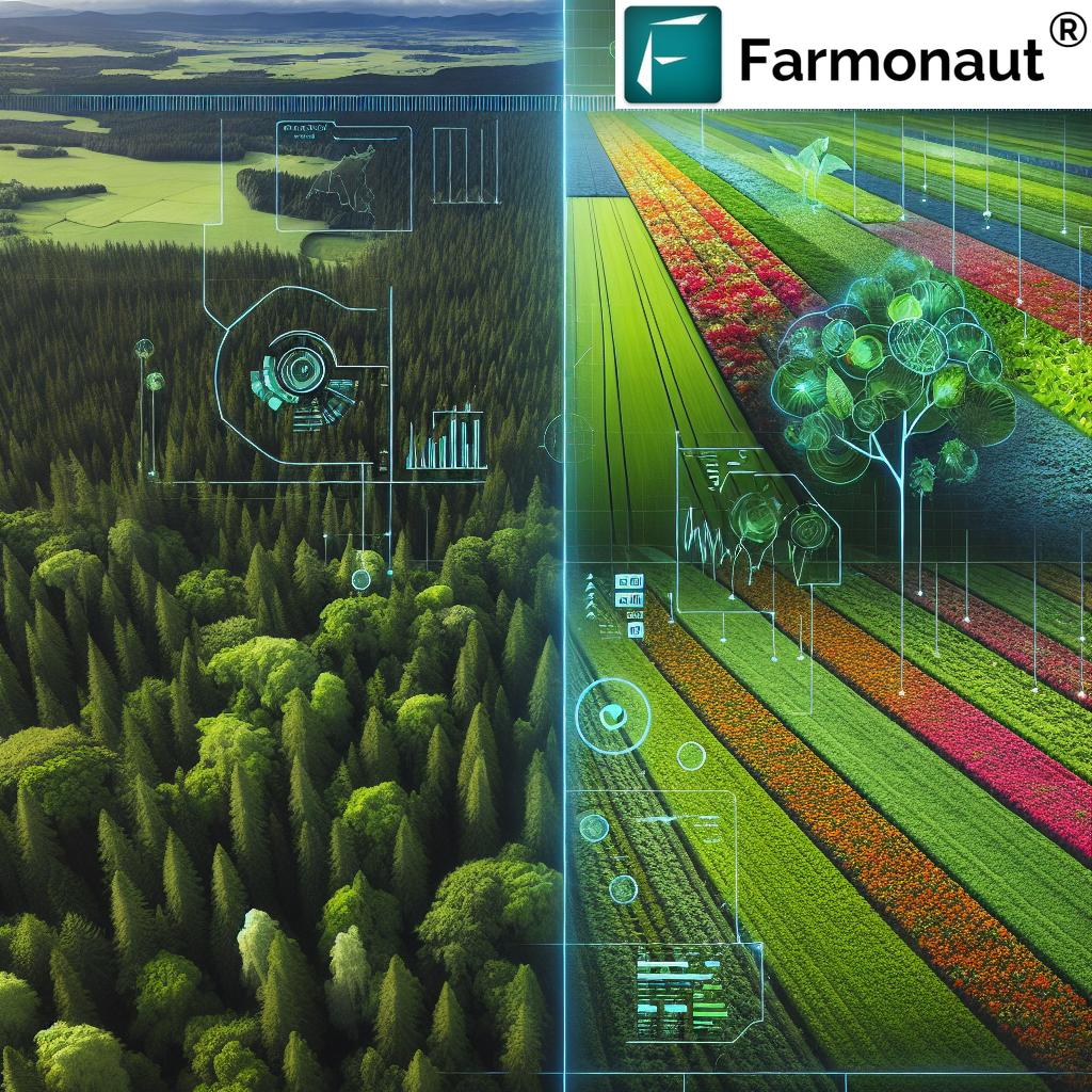
Forest Monitoring: Preserving Our Green Cover
Forests are vital ecosystems that play a crucial role in maintaining the Earth’s biodiversity, regulating climate, and providing essential resources. However, they face numerous threats, including deforestation, climate change, and unsustainable management practices. Geospatial analytics offers powerful tools to monitor and protect these precious resources.
Vegetation Health Assessment
One of the key applications of geospatial analytics in forest monitoring is the assessment of vegetation health. By analyzing multispectral satellite imagery, we can calculate vegetation indices such as the Normalized Difference Vegetation Index (NDVI). This index provides valuable information about the density and health of forest cover.
At Farmonaut, our advanced algorithms process satellite data to generate high-resolution NDVI maps, allowing forest managers to:
- Identify areas of stress or degradation in forest ecosystems
- Monitor changes in forest health over time
- Detect early signs of disease or pest infestations
- Assess the impact of climate change on forest vegetation
Deforestation Tracking and Prevention
Deforestation remains one of the most significant threats to our planet’s forests. Geospatial analytics provides powerful tools to track and prevent deforestation activities. Our platform utilizes time-series satellite imagery to detect changes in forest cover, enabling:
- Real-time monitoring of forest loss
- Identification of illegal logging activities
- Assessment of the effectiveness of conservation efforts
- Planning and implementation of reforestation projects
By providing timely and accurate information on forest cover changes, we empower conservation organizations, government agencies, and local communities to take swift action against deforestation.
Forest Productivity Analysis
Understanding forest productivity is crucial for sustainable forest management. Our geospatial analytics tools enable forest managers to assess and monitor various aspects of forest productivity, including:
- Biomass estimation
- Carbon sequestration potential
- Timber yield prediction
- Ecosystem service valuation
By combining satellite imagery with ground-based data and advanced modeling techniques, we provide comprehensive insights into forest productivity, supporting informed decision-making in forest management and conservation efforts.
Crop Management: Optimizing Agricultural Practices
In the realm of agriculture, geospatial analytics is revolutionizing the way we manage crops and optimize production. At Farmonaut, we offer a suite of tools designed to help farmers and agribusinesses make data-driven decisions throughout the growing season.
Crop Health Monitoring
Regular monitoring of crop health is essential for maximizing yields and minimizing losses. Our platform utilizes high-resolution satellite imagery to provide farmers with valuable insights into their crops’ health status. Key features include:
- NDVI-based vegetation health maps
- Early detection of crop stress and diseases
- Temporal analysis of crop growth patterns
- Identification of underperforming areas within fields
By leveraging these insights, farmers can take timely action to address issues and optimize crop management practices.
Water Stress Detection and Irrigation Management
Water is a precious resource in agriculture, and efficient irrigation management is crucial for sustainable farming. Our geospatial analytics tools help farmers detect water stress in crops and optimize irrigation practices. Key capabilities include:
- Thermal imagery analysis for detecting water stress
- Soil moisture mapping using radar satellite data
- Evapotranspiration modeling for irrigation scheduling
- Historical water stress analysis for long-term planning
By providing accurate and timely information on crop water needs, we enable farmers to optimize their irrigation strategies, reduce water waste, and improve overall water use efficiency.
Yield Prediction and Harvest Planning
Accurate yield prediction is essential for effective crop management and harvest planning. Our advanced analytics combine satellite imagery, weather data, and historical yield information to provide farmers with reliable yield forecasts. Key features include:
- Field-level yield prediction maps
- Temporal yield trend analysis
- Identification of yield-limiting factors
- Optimization of harvest timing and logistics
These insights enable farmers to make informed decisions about resource allocation, harvest planning, and marketing strategies.
Soil Health and Fertility Management
Maintaining soil health is crucial for sustainable agriculture. Our geospatial analytics platform offers tools to assess and monitor soil health parameters, including:
- Soil organic carbon mapping
- Nutrient deficiency detection
- Soil erosion risk assessment
- Precision fertilizer application planning
By providing detailed insights into soil health, we help farmers optimize their fertility management practices, reduce input costs, and promote long-term soil sustainability.
Integrated Geospatial Analytics: Bridging Forest and Crop Management
While forest monitoring and crop management may seem like distinct domains, there are significant synergies between the two when it comes to geospatial analytics. At Farmonaut, we recognize the importance of an integrated approach that leverages common technologies and methodologies to address challenges in both sectors.
Shared Technologies and Methodologies
Many of the geospatial technologies and analytical techniques used in forest monitoring can be adapted and applied to crop management, and vice versa. Some key shared elements include:
- Satellite imagery acquisition and processing
- Vegetation index calculations (e.g., NDVI)
- Change detection algorithms
- Machine learning and AI-based classification
- Time-series analysis of environmental parameters
By leveraging these shared technologies, we can develop more efficient and cost-effective solutions that benefit both forestry and agriculture sectors.
Landscape-Level Analysis
An integrated approach to geospatial analytics allows for comprehensive landscape-level analysis, which is particularly valuable in regions where forests and agricultural lands coexist. This holistic view enables:
- Assessment of ecosystem services provided by forests to adjacent agricultural lands
- Monitoring of land use changes and their impacts on both forests and crops
- Analysis of the interactions between forest health and agricultural productivity
- Development of sustainable land management strategies that balance conservation and production goals
Climate Change Adaptation and Mitigation
Both forestry and agriculture play crucial roles in climate change adaptation and mitigation efforts. Integrated geospatial analytics can support these efforts by:
- Monitoring carbon sequestration in forests and agricultural soils
- Assessing the impacts of climate change on both forest ecosystems and crop production
- Identifying opportunities for agroforestry and other climate-smart practices
- Supporting the development and implementation of climate adaptation strategies
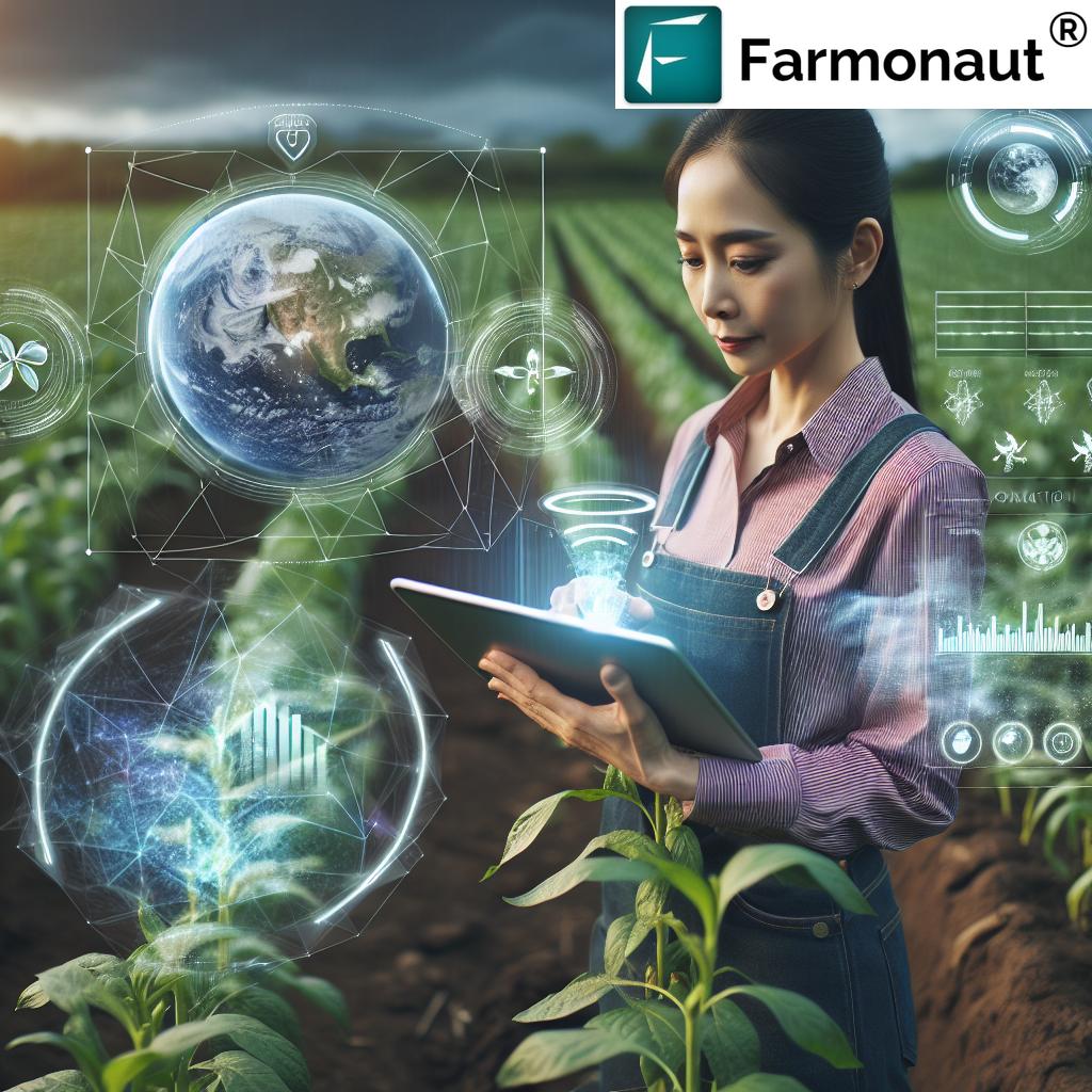
Farmonaut’s Geospatial Analytics Platform: Features and Capabilities
At Farmonaut, we have developed a comprehensive geospatial analytics platform that caters to the needs of both forest managers and agricultural professionals. Our platform integrates state-of-the-art satellite imagery, advanced data processing algorithms, and user-friendly interfaces to deliver actionable insights.
Key Features of Our Platform
- Multi-source Satellite Imagery: We leverage data from multiple satellite sensors, including optical, radar, and thermal, to provide comprehensive coverage and diverse analytical capabilities.
- Advanced Vegetation Indices: In addition to NDVI, we offer a range of specialized vegetation indices tailored for different applications in forestry and agriculture.
- AI-powered Change Detection: Our machine learning algorithms automatically detect and classify changes in land cover, enabling rapid response to deforestation events or crop health issues.
- Time-series Analysis: Historical data analysis allows users to track long-term trends and patterns in forest health, crop productivity, and environmental parameters.
- Custom Alert Systems: Users can set up personalized alerts for specific conditions, such as sudden drops in vegetation health or detection of potential deforestation activities.
- Integration with Ground Data: Our platform allows for seamless integration of satellite-derived insights with ground-based measurements and observations.
- Climate Data Integration: We incorporate climate and weather data to provide context for vegetation changes and support climate-smart decision-making.
- Interactive Mapping Interface: Our user-friendly interface allows for easy visualization and exploration of geospatial data and analytics results.
Customizable Solutions for Various Stakeholders
We recognize that different users have unique needs and requirements. Our platform offers customizable solutions for various stakeholders, including:
- Forest management agencies
- Conservation organizations
- Agricultural cooperatives
- Individual farmers and landowners
- Agribusinesses and food companies
- Research institutions and universities
- Government agencies involved in land use planning and monitoring
Our team works closely with clients to tailor our geospatial analytics solutions to their specific needs and objectives.
Case Studies: Geospatial Analytics in Action
To illustrate the power and versatility of our geospatial analytics platform, let’s examine some hypothetical case studies that demonstrate its application in both forest monitoring and crop management scenarios.
Forest Monitoring: Combating Illegal Logging in the Amazon
Challenge: A conservation organization working in the Amazon rainforest needed to monitor a vast area for illegal logging activities and respond quickly to prevent further deforestation.
Solution: Implementing Farmonaut’s geospatial analytics platform, the organization was able to:
- Set up automated monitoring of forest cover changes using high-resolution satellite imagery
- Receive real-time alerts when sudden changes in forest cover were detected
- Analyze historical deforestation patterns to identify high-risk areas
- Coordinate rapid response teams to investigate and intervene in areas of suspected illegal logging
Results: The organization significantly improved its ability to detect and respond to illegal logging activities, leading to a measurable reduction in deforestation rates within their area of operation.
Crop Management: Optimizing Irrigation in Water-Scarce Regions
Challenge: A large-scale farm in a semi-arid region needed to optimize its irrigation practices to conserve water while maintaining crop yields.
Solution: Using Farmonaut’s crop management tools, the farm implemented a precision irrigation strategy:
- Regular monitoring of crop water stress using thermal satellite imagery
- Integration of soil moisture data from in-field sensors with satellite-derived information
- Development of irrigation schedules based on crop water demand and soil moisture levels
- Identification of areas within fields requiring different irrigation treatments
Results: The farm achieved a 20% reduction in water use while maintaining crop yields, demonstrating significant improvements in water use efficiency and overall sustainability.
Future Directions in Geospatial Analytics for Agriculture and Forestry
As technology continues to advance, the field of geospatial analytics holds immense potential for further innovation in agriculture and forestry. At Farmonaut, we are committed to staying at the forefront of these developments. Some exciting future directions include:
Integration of Hyperspectral Imagery
Hyperspectral sensors capture data across a wide range of spectral bands, providing more detailed information about vegetation and soil properties. Future applications may include:
- More precise detection of plant diseases and pest infestations
- Detailed mapping of soil properties and nutrient levels
- Improved species identification in complex forest ecosystems
Advanced AI and Machine Learning Algorithms
Continued advancements in AI and machine learning will enable more sophisticated analysis of geospatial data, including:
- Automated feature extraction and classification from satellite imagery
- Improved prediction models for crop yields and forest productivity
- Real-time anomaly detection and early warning systems
Integration with Internet of Things (IoT) Devices
The increasing use of IoT devices in agriculture and forestry will create new opportunities for data integration and analysis:
- Real-time correlation of satellite data with ground-based sensor networks
- Improved calibration and validation of satellite-derived measurements
- Development of more accurate and localized predictive models
Enhanced 3D Mapping and Analysis
Advancements in LiDAR and photogrammetry technologies will enable more detailed 3D mapping of forests and agricultural landscapes:
- Precise measurement of tree height and canopy structure
- Improved biomass estimation and carbon stock assessment
- Detailed terrain analysis for precision agriculture applications
Comparison of Farmonaut’s Geospatial Analytics Features
| Feature | Forest Monitoring | Crop Management |
|---|---|---|
| Vegetation Health | NDVI-based forest health maps, disease detection | Crop stress detection, growth stage monitoring |
| Water Stress Detection | Drought impact assessment on forests | Precision irrigation management, water use optimization |
| Productivity Analysis | Biomass estimation, carbon sequestration assessment | Yield prediction, crop performance evaluation |
| Deforestation Tracking | Real-time forest cover change detection, illegal logging alerts | Land use change monitoring in agricultural areas |
| Soil Moisture Monitoring | Forest ecosystem water balance assessment | Precision irrigation scheduling, drought risk assessment |
| Yield Prediction | Timber yield forecasting for managed forests | Crop yield estimation, harvest planning optimization |
| Climate Data Integration | Long-term forest health trends, climate change impact assessment | Weather-based crop management, climate-smart agriculture |
| Anomaly Detection | Early warning for forest disturbances (fire, pests) | Identification of crop health issues, pest outbreaks |
Conclusion: Empowering Sustainable Land Management with Geospatial Analytics
The integration of geospatial analytics in forest monitoring and crop management represents a significant leap forward in our ability to manage and protect our natural resources while optimizing agricultural production. At Farmonaut, we are proud to be at the forefront of this technological revolution, providing cutting-edge solutions that empower stakeholders across the agriculture and forestry sectors.
By harnessing the power of satellite imagery, advanced data processing algorithms, and artificial intelligence, we are enabling more informed decision-making, improved resource management, and enhanced sustainability practices. Our integrated approach to geospatial analytics bridges the gap between forest and crop management, recognizing the interconnectedness of these vital ecosystems and the need for holistic land management strategies.
As we look to the future, we remain committed to pushing the boundaries of what’s possible with geospatial analytics. Through ongoing research and development, partnerships with industry leaders, and close collaboration with our clients, we will continue to innovate and deliver solutions that address the most pressing challenges in agriculture and forestry.
We invite you to join us on this journey towards more sustainable and productive land management. Whether you’re a forest manager, farmer, researcher, or policymaker, our geospatial analytics platform offers the tools and insights you need to make a positive impact on our planet’s forests and agricultural lands.
To learn more about how Farmonaut’s geospatial analytics solutions can benefit your organization, please visit our website or contact our team for a personalized consultation. Together, we can harness the power of geospatial technology to create a more sustainable and food-secure future for all.
Frequently Asked Questions (FAQ)
1. What is geospatial analytics, and how does it benefit agriculture and forestry?
Geospatial analytics involves analyzing and interpreting geographic data, often using satellite imagery and other spatial datasets. In agriculture and forestry, it provides valuable insights into vegetation health, land use changes, and environmental conditions, enabling better decision-making and resource management.
2. How accurate are satellite-based crop yield predictions?
The accuracy of satellite-based yield predictions has improved significantly in recent years. While exact accuracy can vary depending on factors such as crop type and local conditions, many studies have shown correlations of 80-90% between satellite-derived predictions and actual yields.
3. Can geospatial analytics detect specific crop diseases or pest infestations?
Yes, geospatial analytics can often detect signs of crop diseases or pest infestations through changes in vegetation health indices or specific spectral signatures. However, ground verification is usually necessary for definitive identification of specific issues.
4. How frequently is satellite imagery updated in Farmonaut’s platform?
The frequency of satellite imagery updates depends on the specific satellite sensors used and the subscription level. For most applications, we provide updates every 3-5 days, with options for more frequent monitoring in critical areas.
5. Is special equipment needed to use Farmonaut’s geospatial analytics platform?
No special equipment is required. Our platform is cloud-based and can be accessed through any internet-connected device with a web browser. We also offer mobile apps for convenient field use.
6. How does Farmonaut ensure the security and privacy of user data?
We take data security and privacy very seriously. All data transmitted to and from our platform is encrypted, and we adhere to strict data protection protocols. User data is never shared without explicit consent.
7. Can Farmonaut’s platform be integrated with other farm management software or systems?
Yes, our platform offers API integration capabilities, allowing seamless data exchange with other farm management systems. We also provide custom integration solutions for enterprise clients.
8. What support and training does Farmonaut offer for new users?
We provide comprehensive onboarding support, including video tutorials, user guides, and live training sessions. Our customer support team is also available to assist with any questions or issues.
9. How does geospatial analytics contribute to sustainable agriculture and forestry practices?
Geospatial analytics enables more efficient resource use, early detection of environmental issues, and data-driven decision-making. This leads to reduced environmental impact, improved conservation efforts, and more sustainable land management practices.
10. What future developments in geospatial analytics is Farmonaut working on?
We are continuously improving our platform, with current focus areas including advanced AI-driven analytics, integration of hyperspectral imagery, and enhanced 3D mapping capabilities for both forestry and agricultural applications.
Ready to revolutionize your approach to forest monitoring and crop management? Subscribe to Farmonaut’s geospatial analytics platform today and unlock the power of data-driven decision-making for your land management needs.
For more information about our services, please visit our website at Farmonaut App or explore our API documentation at Farmonaut API Docs.
Download our mobile apps for on-the-go access to powerful geospatial analytics tools:
Join us in shaping the future of sustainable agriculture and forestry management with cutting-edge geospatial analytics!