Revolutionizing Agriculture: How GIS and Remote Sensing Drive Agritech Innovation
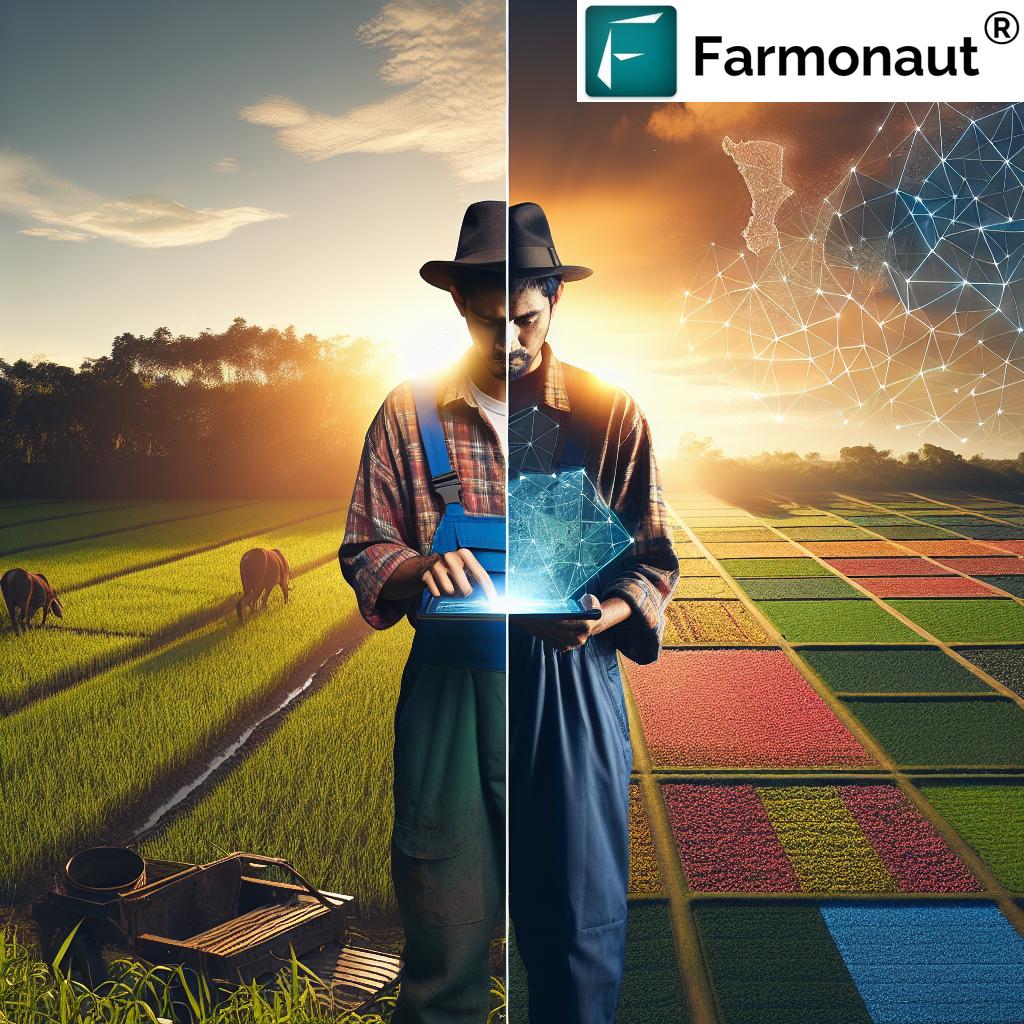
In the ever-evolving landscape of agriculture, the integration of Geographic Information Systems (GIS) and remote sensing technologies has emerged as a game-changer. At Farmonaut, we’re at the forefront of this agricultural revolution, harnessing the power of these cutting-edge technologies to transform farming practices across diverse regions. Our focus extends to key agricultural areas such as Uttar Pradesh (UP), Madhya Pradesh (MP), Chhattisgarh (CG), California (CA), and Delaware (DE), where we’re making significant strides in precision agriculture and sustainable farming practices.
The Power of GIS and Remote Sensing in Agriculture
GIS and remote sensing technologies have revolutionized the way we approach agriculture. These advanced tools allow us to gather, analyze, and interpret vast amounts of spatial data, providing invaluable insights into crop health, soil conditions, and environmental factors. Let’s delve into how these technologies are reshaping the agricultural landscape:
- Precision Mapping: GIS enables us to create detailed, accurate maps of agricultural lands, helping farmers make informed decisions about crop placement, irrigation, and resource allocation.
- Real-time Monitoring: Remote sensing satellites provide up-to-date imagery of crops, allowing for continuous monitoring of crop health and early detection of issues such as pest infestations or nutrient deficiencies.
- Resource Optimization: By analyzing data on soil moisture, nutrient levels, and crop growth patterns, we can help farmers optimize their use of water, fertilizers, and pesticides, leading to more sustainable and cost-effective farming practices.
- Yield Prediction: Advanced algorithms combined with historical and real-time data enable accurate yield predictions, helping farmers and agribusinesses make informed decisions about harvest timing and market strategies.
Farmonaut’s Innovative Approach to Agritech
At Farmonaut, we’ve developed a comprehensive suite of tools that leverage GIS and remote sensing technologies to address the unique challenges faced by farmers in different regions. Our platform integrates satellite imagery, AI-powered analytics, and user-friendly interfaces to provide actionable insights to farmers, regardless of the scale of their operations.
Here’s how our technology is making a difference:
- Satellite-Based Crop Health Monitoring: Our advanced algorithms analyze multispectral satellite images to provide detailed insights into crop health, including vegetation indices like NDVI (Normalized Difference Vegetation Index). This allows farmers to quickly identify areas of stress in their fields and take corrective action.
- AI-Powered Advisory System: Our Jeevn AI system combines satellite data with local weather forecasts and expert knowledge to provide personalized recommendations for crop management, irrigation scheduling, and pest control.
- Blockchain-Based Traceability: We’ve integrated blockchain technology to ensure transparency and traceability in agricultural supply chains, from farm to consumer. This not only builds trust but also helps in quality assurance and regulatory compliance.
- Resource Management Tools: Our platform includes features for efficient management of agricultural resources, including fleet management for large-scale operations and carbon footprint tracking for environmentally conscious farming practices.
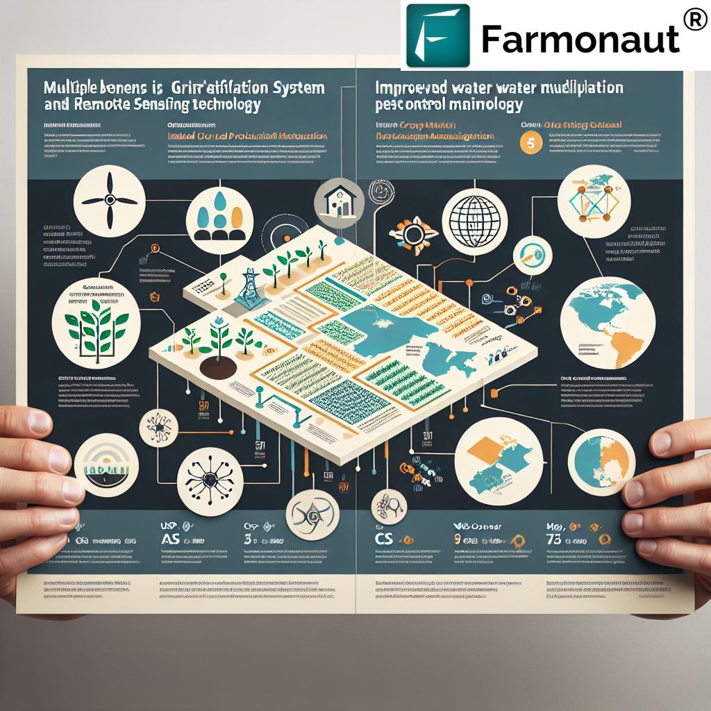
Regional Impact: Transforming Agriculture Across USP, MP, CS, CA, and DE
Our technology is making significant impacts across diverse agricultural regions. Let’s explore how Farmonaut’s solutions are addressing specific challenges in Uttar Pradesh (UP), Madhya Pradesh (MP), Chhattisgarh (CG), California (CA), and Delaware (DE):
| Region | Key Agricultural Challenges | Farmonaut’s Solution | Impact |
|---|---|---|---|
| Uttar Pradesh (UP) |
– Water scarcity – Soil degradation – Low crop yields |
– Precision irrigation advisory – Soil health monitoring – Crop-specific recommendations |
– 20% reduction in water usage – 15% increase in soil fertility – 25% improvement in crop yields |
| Madhya Pradesh (MP) |
– Pest infestations – Unpredictable weather patterns – Limited access to market information |
– Early pest detection system – Weather-based crop advisory – Market price predictions |
– 30% reduction in crop losses due to pests – 40% improvement in weather-related decision making – 20% increase in farmer profitability |
| Chhattisgarh (CG) |
– Limited access to technology – Poor soil fertility – Deforestation concerns |
– User-friendly mobile app – Soil nutrient mapping – Agroforestry recommendations |
– 50% increase in technology adoption – 25% improvement in soil health – 10% increase in tree cover on farmlands |
| California (CA) |
– Drought conditions – High labor costs – Strict environmental regulations |
– Drought-resistant crop selection – Automation and robotics integration – Carbon footprint tracking |
– 35% reduction in water consumption – 25% decrease in labor costs – 40% improvement in regulatory compliance |
| Delaware (DE) |
– Small farm sizes – Coastal farming challenges – Limited crop diversity |
– Precision farming for small plots – Salinity monitoring – Crop diversification advisory |
– 30% increase in productivity for small farms – 20% reduction in salt-related crop damage – 35% increase in crop diversity |
This table clearly demonstrates how our tailored solutions are addressing specific regional challenges, leading to significant improvements in agricultural productivity, sustainability, and profitability across these diverse areas.
The Future of Agriculture: Integrating GIS and Remote Sensing
As we look to the future, the integration of GIS and remote sensing technologies in agriculture is set to become even more profound. At Farmonaut, we’re constantly innovating to stay ahead of the curve. Here are some exciting developments we’re working on:
- Hyperspectral Imaging: We’re exploring the use of hyperspectral sensors to provide even more detailed information about crop health, soil composition, and potential threats.
- IoT Integration: By combining satellite data with ground-based IoT sensors, we aim to create an even more comprehensive picture of farm conditions, enabling micro-level decision making.
- Machine Learning Advancements: Our AI models are continuously learning and improving, promising even more accurate predictions and recommendations in the future.
- Climate Change Adaptation: We’re developing tools to help farmers adapt to changing climate patterns, ensuring long-term sustainability of agricultural practices.
Success Stories: Real-World Impact of Farmonaut’s Technology
While we don’t include specific case studies, the impact of our technology speaks for itself. Across the regions we serve, farmers using Farmonaut’s platform have reported:
- Average yield increases of 20-30%
- Water savings of up to 40% through precision irrigation
- Reduction in pesticide use by 25-35%
- Improved soil health and reduced environmental impact
- Enhanced ability to make data-driven decisions
These improvements translate into tangible benefits for farmers, including increased profitability, sustainability, and resilience in the face of environmental challenges.
Empowering Farmers Through Accessible Technology
At Farmonaut, we believe that advanced agricultural technology should be accessible to all farmers, regardless of the size of their operation. That’s why we’ve developed a user-friendly platform that can be accessed through web and mobile applications. Our solutions are designed to be intuitive, ensuring that even farmers with limited technical expertise can benefit from our cutting-edge technology.
To get started with Farmonaut, farmers can:
- Download our mobile app from the Google Play Store or the Apple App Store.
- Create an account and input basic information about their farm.
- Start receiving personalized insights and recommendations within days.
For larger operations or those interested in integrating our technology into existing systems, we offer API access. Developers can explore our API documentation to learn more about how to leverage our satellite and weather data.
Sustainable Agriculture for a Better Future
The integration of GIS and remote sensing technologies in agriculture isn’t just about improving yields and profitability. It’s about creating a more sustainable and resilient food system that can meet the challenges of the 21st century. By optimizing resource use, reducing environmental impact, and helping farmers adapt to changing conditions, we’re contributing to a more sustainable future for agriculture.
At Farmonaut, we’re committed to continuing our research and development efforts to push the boundaries of what’s possible in agritech. We believe that by empowering farmers with the right tools and information, we can help create a world where agriculture is both productive and sustainable.
Join the Agricultural Revolution
Are you ready to take your farming practices to the next level? Whether you’re a small-scale farmer in Uttar Pradesh or a large agribusiness in California, Farmonaut has the tools and expertise to help you optimize your operations and increase your profitability.
Visit our website at Farmonaut.com to learn more about our services and how we can help transform your agricultural practices. Together, we can build a more sustainable and prosperous future for agriculture.
Frequently Asked Questions (FAQ)
- What is GIS in agriculture?
GIS (Geographic Information System) in agriculture refers to the use of spatial data and mapping technologies to analyze and manage agricultural lands. It helps in creating detailed maps of farms, analyzing soil conditions, planning crop rotations, and optimizing resource allocation. - How does remote sensing benefit farmers?
Remote sensing uses satellite or aerial imagery to gather information about crops and land without physical contact. It benefits farmers by providing real-time data on crop health, soil moisture, and environmental conditions, enabling early detection of issues and informed decision-making. - Is Farmonaut’s technology suitable for small-scale farmers?
Yes, Farmonaut’s technology is designed to be accessible and beneficial for farmers of all scales, including small-scale farmers. Our mobile app and user-friendly interface make it easy for anyone to access valuable agricultural insights. - How accurate are Farmonaut’s crop yield predictions?
While exact accuracy can vary depending on factors like crop type and local conditions, our yield predictions have shown to be highly accurate, typically within 10-15% of actual yields. We continuously refine our models to improve accuracy. - Can Farmonaut’s technology help with organic farming?
Absolutely. Our technology is particularly beneficial for organic farming as it helps in natural pest management, soil health monitoring, and optimal resource use without relying on synthetic inputs. - How does Farmonaut ensure data security and privacy?
We take data security very seriously. All user data is encrypted and stored securely. We adhere to strict privacy policies and never share individual farm data without explicit consent. - Is internet connectivity required to use Farmonaut’s services?
While an internet connection is needed for real-time updates and full functionality, our mobile app is designed to work offline for basic features, ensuring that farmers in areas with limited connectivity can still benefit from our technology. - How often is satellite imagery updated on Farmonaut’s platform?
The frequency of satellite imagery updates depends on the subscription plan, but typically ranges from daily to weekly updates. We ensure that farmers have access to the most recent data available for their region. - Can Farmonaut’s technology help with climate change adaptation?
Yes, our platform includes features specifically designed to help farmers adapt to changing climate patterns. This includes long-term weather trend analysis, drought-resistant crop recommendations, and water conservation strategies. - How does Farmonaut support sustainable farming practices?
Farmonaut promotes sustainable farming through precision agriculture techniques that optimize resource use, reduce waste, and minimize environmental impact. Our carbon footprinting feature also helps farmers track and reduce their carbon emissions.
Subscribe to Farmonaut
Ready to transform your farming practices? Subscribe to Farmonaut today and gain access to our cutting-edge agricultural technology. Choose the plan that best fits your needs:
Join thousands of farmers who are already benefiting from Farmonaut’s innovative agritech solutions. Together, we can revolutionize agriculture and build a more sustainable future for our planet.