Revolutionizing Agriculture: How Remote Sensing and GIS are Transforming Agritech in Horticulture
In today’s rapidly evolving agricultural landscape, we at Farmonaut are at the forefront of a technological revolution that is reshaping the way we approach farming and horticulture. The integration of remote sensing and Geographic Information Systems (GIS) into agritech solutions is not just a trend; it’s a fundamental shift in how we understand, manage, and optimize our agricultural practices. This blog post delves deep into the transformative power of these technologies and how they are revolutionizing both agriculture and horticulture.
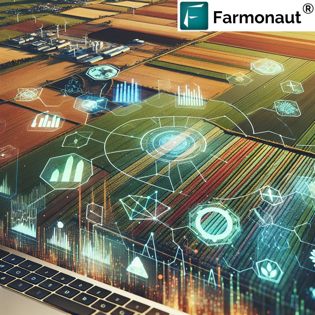
The Convergence of Remote Sensing, GIS, and Agritech
The fusion of remote sensing, GIS, and agritech is creating unprecedented opportunities for farmers, horticulturists, and agronomists alike. Let’s break down these components and see how they work together to create a more efficient and sustainable agricultural ecosystem:
- Remote Sensing: This technology allows us to gather information about the Earth’s surface without making physical contact. In agriculture, it primarily involves satellite imagery and aerial photography to monitor crop health, soil moisture, and land use patterns.
- GIS (Geographic Information Systems): GIS is a framework for gathering, managing, and analyzing spatial or geographic data. It integrates various types of data, analyzes spatial locations, and organizes layers of information into visualizations using maps and 3D scenes.
- Agritech: This term encompasses the use of technology in agriculture to improve yield, efficiency, and profitability. It includes a wide range of applications, from farm management software to precision agriculture tools.
When these technologies converge, they create a powerful toolkit for modern agriculture and horticulture. At Farmonaut, we leverage this convergence to provide farmers with actionable insights that were previously unattainable.
The Role of Remote Sensing in Modern Agriculture
Remote sensing has emerged as a game-changer in agriculture, offering farmers and researchers a bird’s-eye view of their fields and beyond. Here’s how remote sensing is transforming agricultural practices:
1. Crop Health Monitoring
One of the most significant applications of remote sensing in agriculture is crop health monitoring. Through multispectral and hyperspectral imaging, we can detect subtle changes in plant physiology that are invisible to the naked eye. This allows for early detection of:
- Nutrient deficiencies
- Water stress
- Pest infestations
- Disease outbreaks
By identifying these issues early, farmers can take targeted action, reducing the need for broad-spectrum treatments and minimizing crop losses.
2. Precision Agriculture
Remote sensing enables precision agriculture by providing detailed, field-level data. This allows farmers to:
- Optimize irrigation schedules based on soil moisture content
- Apply fertilizers and pesticides only where and when needed
- Plan harvest times more accurately
- Predict yield with greater accuracy
These capabilities not only increase efficiency but also contribute to more sustainable farming practices by reducing resource waste.
3. Land Use and Cover Mapping
Remote sensing technologies allow for accurate mapping of land use and cover over large areas. This is crucial for:
- Agricultural planning at regional and national levels
- Monitoring deforestation and land degradation
- Assessing the impact of climate change on agricultural lands
- Identifying suitable areas for specific crops
At Farmonaut, we utilize this capability to help farmers make informed decisions about crop selection and land management.
GIS: The Backbone of Modern Agricultural Data Analysis
While remote sensing provides the raw data, GIS is the tool that transforms this data into actionable insights. Here’s how GIS is revolutionizing agriculture:
1. Spatial Analysis for Decision Making
GIS allows for complex spatial analysis, helping farmers and policymakers make informed decisions. Some applications include:
- Identifying optimal locations for new farms or orchards
- Planning efficient transportation routes for agricultural products
- Analyzing the spread of crop diseases
- Assessing the impact of climate change on specific regions
2. Integration of Multiple Data Sources
One of the strengths of GIS is its ability to integrate data from various sources. In agriculture, this might include:
- Satellite imagery
- Soil maps
- Weather data
- Historical yield data
- Market information
By combining these diverse data sets, GIS provides a comprehensive view of the agricultural landscape, enabling more informed decision-making.
3. Visualization and Mapping
GIS excels at creating visually compelling maps and 3D models that make complex data easy to understand. This is particularly valuable in agriculture for:
- Creating yield maps to identify high and low-performing areas within fields
- Visualizing the spread of pests or diseases
- Illustrating the impact of different management practices on crop health
- Communicating agricultural plans and strategies to stakeholders
The Agritech Revolution: Bringing It All Together
The true power of remote sensing and GIS in agriculture is realized when they are integrated into comprehensive agritech solutions. At Farmonaut, we’re at the forefront of this integration, offering tools that leverage these technologies to provide unprecedented insights and control to farmers.
1. AI-Powered Crop Advisory
Our Jeevn AI system combines remote sensing data with machine learning algorithms to provide personalized crop management advice. This includes:
- Customized fertilizer recommendations based on soil health and crop requirements
- Pest and disease alerts with treatment suggestions
- Irrigation scheduling optimized for water conservation
- Yield predictions to help with harvest planning and market strategies
2. Blockchain-Based Traceability
By integrating blockchain technology with GIS and remote sensing data, we offer a robust traceability solution that:
- Tracks products from farm to consumer
- Ensures transparency in the supply chain
- Verifies the origin and quality of agricultural products
- Builds consumer trust and supports fair trade practices
3. Resource Management and Sustainability
Our platform uses remote sensing and GIS to help farmers manage resources more efficiently:
- Monitoring water usage and suggesting conservation strategies
- Tracking carbon footprint and suggesting ways to reduce emissions
- Optimizing the use of agricultural machinery to reduce fuel consumption
- Identifying areas suitable for sustainable farming practices like agroforestry
The Impact on Horticulture
While much of the focus on remote sensing and GIS in agriculture has been on large-scale crop farming, these technologies are equally transformative in horticulture. Here’s how:
1. Precision Horticulture
Remote sensing and GIS enable precision horticulture practices such as:
- Micro-climate monitoring for optimal plant growth
- Precise application of water and nutrients in greenhouses
- Early detection of plant stress in orchards and vineyards
- Optimizing harvest times for fruits and vegetables
2. Landscape Planning and Management
For landscape horticulturists, GIS provides powerful tools for:
- Designing and planning green spaces
- Managing urban forests and parks
- Assessing the environmental impact of horticultural projects
- Tracking the health and growth of ornamental plants
3. Conservation Horticulture
Remote sensing and GIS play a crucial role in conservation horticulture by:
- Mapping and monitoring rare plant species
- Identifying suitable habitats for endangered plants
- Tracking the spread of invasive species
- Assessing the impact of climate change on plant biodiversity
The Future of Agriculture and Horticulture with Remote Sensing and GIS
As we look to the future, the integration of remote sensing and GIS in agriculture and horticulture is set to deepen and expand. Here are some trends we’re excited about:
1. Hyperspectral Imaging
Advancements in hyperspectral imaging technology will allow for even more detailed analysis of plant health, potentially enabling:
- Detection of specific nutrient deficiencies at very early stages
- Identification of plant stress before visible symptoms appear
- More accurate yield predictions
- Better understanding of soil composition and health
2. Internet of Things (IoT) Integration
The integration of IoT devices with remote sensing and GIS will create a more connected and responsive agricultural ecosystem:
- Real-time data collection from ground sensors
- Automated irrigation systems responsive to satellite-derived soil moisture data
- Smart machinery that adjusts operations based on GIS-derived field maps
- Enhanced traceability through IoT-enabled supply chain monitoring
3. Advanced AI and Machine Learning
As AI and machine learning algorithms become more sophisticated, we’ll see:
- More accurate crop yield predictions
- Better pest and disease forecasting models
- Automated crop management systems that learn and adapt to local conditions
- Enhanced decision support tools for farmers and policymakers
4. Climate Change Adaptation
Remote sensing and GIS will play a crucial role in helping agriculture adapt to climate change:
- Modeling the impact of climate change on crop suitability in different regions
- Identifying resilient crop varieties through large-scale field trials
- Planning for shifts in agricultural zones
- Developing early warning systems for extreme weather events
Farmonaut’s Role in the Agritech Revolution
At Farmonaut, we’re committed to being at the forefront of this agricultural revolution. Our platform integrates cutting-edge remote sensing and GIS technologies to provide farmers with the tools they need to thrive in an increasingly complex and challenging environment.
Our Key Offerings:
- Satellite-Based Crop Monitoring: We provide regular updates on crop health, allowing farmers to track their fields’ performance and identify issues early.
- AI-Powered Advisory: Our Jeevn AI system offers personalized recommendations based on satellite data, local conditions, and best practices.
- Blockchain Traceability: We ensure transparency and build trust in the supply chain through our blockchain-based traceability solution.
- Resource Management Tools: Our platform helps farmers optimize their use of water, fertilizers, and other inputs, promoting sustainability and efficiency.
- Weather Forecasting: We integrate advanced weather forecasting models to help farmers plan their activities and mitigate climate-related risks.
To experience the power of our platform, visit Farmonaut App or explore our API services for developers.
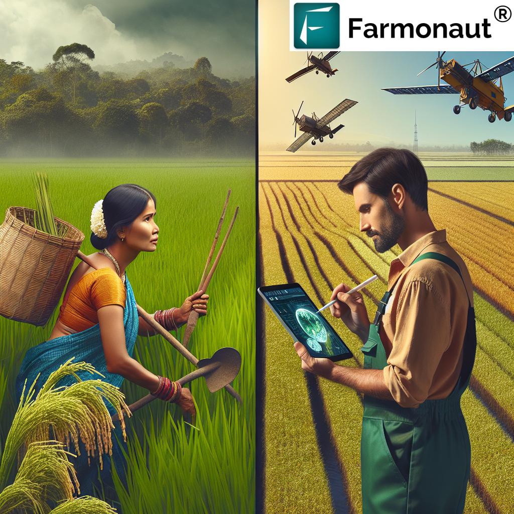
Comparison: Traditional Farming vs. Farmonaut’s Remote Sensing & GIS Approach
| Aspect | Traditional Farming Methods | Farmonaut’s Remote Sensing & GIS Approach |
|---|---|---|
| Crop Monitoring | Manual field inspections, time-consuming and labor-intensive | Satellite-based real-time monitoring, covering large areas efficiently |
| Pest Detection | Visual inspection, often detecting issues after significant damage | Early detection through spectral analysis, allowing proactive treatment |
| Resource Management | Uniform application of water and inputs across fields | Precision application based on field variability, optimizing resource use |
| Yield Prediction | Based on historical data and subjective assessment | AI-driven predictions using real-time data and advanced analytics |
| Climate Adaptation | Reactive approach based on observed changes | Proactive planning using climate models and satellite data |
| Data Collection | Manual record-keeping, prone to errors and inconsistencies | Automated data collection and integration from multiple sources |
| Decision Making | Often based on intuition and experience | Data-driven decisions supported by AI and analytics |
The Road Ahead: Challenges and Opportunities
While the potential of remote sensing and GIS in agriculture and horticulture is immense, there are challenges to overcome:
1. Data Accessibility and Affordability
High-resolution satellite imagery can be expensive, potentially limiting access for small-scale farmers. At Farmonaut, we’re working to make these technologies more affordable and accessible to all farmers, regardless of their scale of operation.
2. Digital Literacy
The effective use of advanced agritech solutions requires a certain level of digital literacy. We’re committed to providing user-friendly interfaces and comprehensive training to ensure that all farmers can benefit from our technology.
3. Integration with Existing Practices
Adopting new technologies often requires changes to long-established farming practices. We work closely with farmers to ensure smooth integration of our solutions into their existing workflows.
4. Data Privacy and Security
As more agricultural data is collected and analyzed, ensuring data privacy and security becomes crucial. At Farmonaut, we prioritize data protection and give farmers full control over their information.
Conclusion: Embracing the Future of Agriculture
The integration of remote sensing and GIS into agriculture and horticulture represents a paradigm shift in how we approach farming. These technologies offer unprecedented insights, enabling more efficient, sustainable, and productive agricultural practices.
At Farmonaut, we’re excited to be at the forefront of this revolution. Our mission is to make these powerful tools accessible to farmers worldwide, helping them navigate the challenges of modern agriculture and contribute to global food security.
We invite you to join us on this journey towards a smarter, more sustainable future for agriculture. Explore our solutions, try our platform, and be part of the agricultural revolution.
Visit our website or download our app to get started:
For developers interested in integrating our technology into their solutions, check out our API documentation.
Subscribe to Farmonaut
Frequently Asked Questions (FAQ)
Q1: What is remote sensing in agriculture?
A1: Remote sensing in agriculture refers to the use of satellite or aerial technology to gather information about crops and soil without physical contact. It involves collecting data through various sensors that detect electromagnetic radiation reflected or emitted from the Earth’s surface.
Q2: How does GIS benefit farmers?
A2: GIS benefits farmers by allowing them to analyze and visualize spatial data related to their fields. It helps in creating detailed maps of soil types, crop yields, and other variables, enabling better decision-making for crop management, resource allocation, and farm planning.
Q3: Can small-scale farmers benefit from Farmonaut’s technology?
A3: Absolutely! Farmonaut is designed to be accessible and beneficial for farmers of all scales. Our platform offers affordable solutions that can significantly improve productivity and efficiency, even for small-scale operations.
Q4: How accurate is satellite-based crop monitoring?
A4: Satellite-based crop monitoring can be highly accurate, especially when combined with ground-truthing and advanced analytics. Farmonaut’s system uses high-resolution imagery and sophisticated algorithms to provide reliable insights into crop health and field conditions.
Q5: What types of crops can be monitored using Farmonaut’s system?
A5: Farmonaut’s system is versatile and can monitor a wide range of crops, including cereals, fruits, vegetables, and cash crops. The technology is adaptable to various agricultural and horticultural settings.
Q6: How often is the satellite data updated?
A6: The frequency of satellite data updates depends on the specific service package. Generally, we provide updates every few days, ensuring that farmers have access to timely and relevant information about their fields.
Q7: Is internet connectivity required to use Farmonaut’s services?
A7: While internet connectivity enhances the real-time capabilities of our platform, many features can be accessed offline once data is downloaded. We strive to make our services accessible even in areas with limited connectivity.
Q8: How does Farmonaut ensure data privacy and security?
A8: We take data privacy and security very seriously. All data is encrypted, and we adhere to strict privacy policies. Farmers have full control over their data and can choose how it’s shared or used.
Q9: Can Farmonaut’s technology help in organic farming?
A9: Yes, our technology is particularly valuable for organic farming. It helps in early detection of pest issues, optimizes natural resource use, and supports sustainable farming practices without relying on chemical inputs.
Q10: How does Farmonaut contribute to sustainable agriculture?
A10: Farmonaut promotes sustainable agriculture by enabling precise resource management, reducing waste, and optimizing crop yields. Our tools help farmers make environmentally conscious decisions while improving productivity.