Revolutionizing Agriculture: The Power of Remote Sensing and Satellite Imagery in Precision Farming
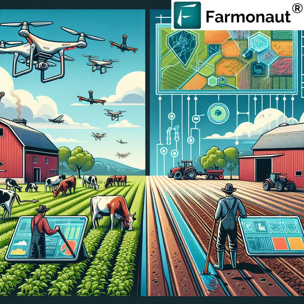
In the ever-evolving landscape of agriculture and horticulture, we are witnessing a remarkable transformation driven by cutting-edge technologies. At the forefront of this revolution are remote sensing and satellite imagery, powerful tools that are reshaping the way we approach farming and crop monitoring. As pioneers in the field of agritech, we at Farmonaut are excited to explore the immense potential of these technologies in revolutionizing precision agriculture and ushering in a new era of smart farming.
The Rise of Remote Sensing in Agriculture
Remote sensing has emerged as a game-changer in the agricultural sector. This technology allows us to gather valuable information about crops and soil conditions without physical contact. By utilizing sensors mounted on satellites, aircraft, or drones, we can collect data on various aspects of crop health, soil moisture, and environmental factors. This wealth of information enables farmers to make informed decisions and optimize their farming practices.
Some key benefits of remote sensing in agriculture include:
- Non-invasive data collection
- Large-scale coverage of agricultural lands
- Regular and consistent monitoring
- Early detection of crop stress and diseases
- Improved resource management
Satellite Imagery: A Bird’s-Eye View of Farming
Satellite imagery has revolutionized our ability to monitor and manage agricultural lands on a global scale. These high-resolution images provide a comprehensive view of vast areas, allowing us to track changes in crop conditions, detect anomalies, and assess overall farm health. The regular revisit times of satellites ensure that we have up-to-date information throughout the growing season.
Key applications of satellite imagery in agriculture include:
- Crop type mapping and area estimation
- Monitoring crop growth stages
- Assessing crop health and vigor
- Detecting pest infestations and diseases
- Estimating crop yields
- Evaluating the impact of weather events on crops
The Power of Vegetation Indices
One of the most valuable tools in remote sensing for agriculture is the use of vegetation indices. These mathematical calculations derived from satellite imagery provide crucial insights into crop health and productivity. The most widely used index is the Normalized Difference Vegetation Index (NDVI), which measures the greenness and vigor of plants.
Vegetation indices offer several advantages:
- Quantitative measurement of crop health
- Early detection of crop stress
- Identification of areas requiring immediate attention
- Tracking of crop growth patterns over time
- Assistance in precision application of inputs
Precision Agriculture: A Data-Driven Approach
Precision agriculture is a management strategy that leverages technology to optimize crop production and resource use. By combining remote sensing data with other sources of information, such as soil tests and weather forecasts, we can create highly accurate and tailored farming solutions.
Key components of precision agriculture include:
- Variable rate technology for precise application of inputs
- GPS-guided machinery for accurate field operations
- Soil mapping and zoning for targeted management
- Yield monitoring and mapping for performance analysis
- Decision support systems for data-driven farming
Crop Monitoring: The Key to Proactive Farm Management
Crop monitoring is a critical aspect of modern agriculture, and remote sensing technologies have greatly enhanced our ability to track crop development throughout the growing season. By regularly analyzing satellite imagery and vegetation indices, we can detect issues early and take timely action to mitigate potential problems.
Benefits of advanced crop monitoring include:
- Early detection of crop stress and diseases
- Optimization of irrigation schedules
- Targeted application of fertilizers and pesticides
- Improved crop yield forecasting
- Enhanced decision-making for farm management
Soil Analysis: The Foundation of Healthy Crops
Soil analysis is a crucial component of successful farming, and remote sensing technologies have revolutionized our ability to assess soil conditions across large areas. By analyzing satellite imagery and using specialized sensors, we can gain valuable insights into soil properties, moisture content, and nutrient levels.
Key aspects of soil analysis using remote sensing include:
- Mapping of soil types and textures
- Assessment of soil moisture levels
- Detection of soil erosion and degradation
- Identification of nutrient deficiencies
- Monitoring of soil organic matter content
Yield Prediction: Forecasting Agricultural Productivity
Yield prediction is a critical aspect of agricultural planning and management. By leveraging remote sensing data and advanced analytics, we can develop accurate models to forecast crop yields well before harvest time. This information is invaluable for farmers, agribusinesses, and policymakers in making informed decisions.
Benefits of satellite-based yield prediction include:
- Early estimation of crop production
- Improved planning for harvest and storage
- Better management of supply chains
- Enhanced food security planning
- Informed decision-making for agricultural policies
Farm Management: Integrating Technology for Optimal Results
Effective farm management is crucial for maximizing productivity and sustainability in agriculture. Remote sensing and satellite imagery play a vital role in modern farm management systems, providing valuable data and insights to support decision-making processes.
Key aspects of technology-driven farm management include:
- Real-time monitoring of crop conditions
- Precision application of inputs
- Optimized irrigation management
- Integrated pest and disease management
- Data-driven crop rotation and planning
Agricultural Technology: Driving Innovation in Farming
Agricultural technology, or agtech, is rapidly evolving, with remote sensing and satellite imagery at its core. These technologies are enabling the development of innovative solutions that address the challenges faced by modern agriculture.
Some cutting-edge applications of agtech include:
- AI-powered crop analysis and recommendations
- Drone-based imaging for high-resolution field monitoring
- IoT sensors for real-time data collection
- Blockchain technology for supply chain traceability
- Machine learning algorithms for predictive analytics
Smart Farming: The Future of Agriculture
Smart farming represents the convergence of various technologies to create highly efficient and sustainable agricultural systems. By integrating remote sensing, satellite imagery, IoT devices, and data analytics, we can develop intelligent farming solutions that optimize resource use and maximize productivity.
Key components of smart farming include:
- Automated irrigation systems
- Precision application of inputs
- Robotic harvesting and sorting
- Climate-controlled greenhouses
- Data-driven decision support systems
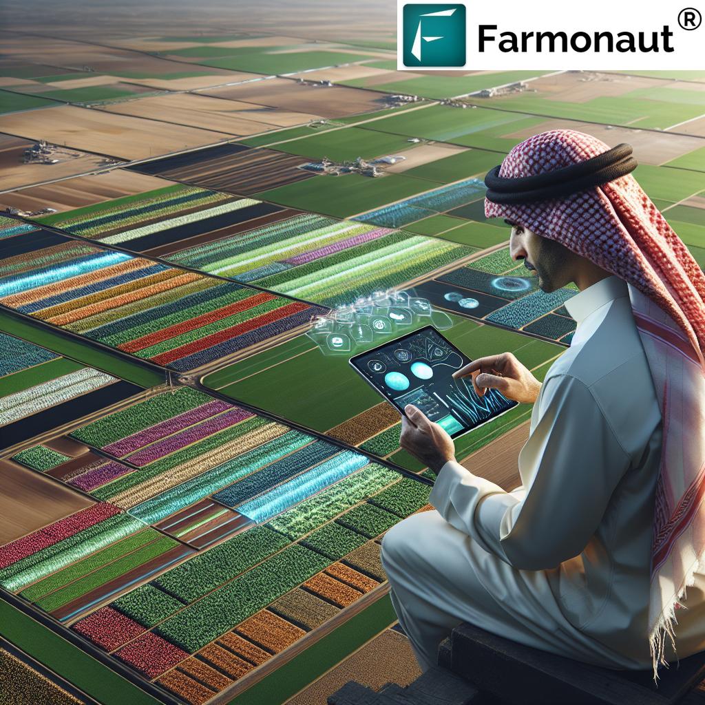
The Role of Farmonaut in Revolutionizing Agriculture
At Farmonaut, we are at the forefront of this agricultural revolution, harnessing the power of remote sensing and satellite imagery to provide innovative solutions for farmers and agribusinesses. Our platform integrates cutting-edge technologies to deliver real-time insights and actionable recommendations for improved farm management.
Key features of Farmonaut’s platform include:
- Satellite-based crop health monitoring
- AI-driven advisory system (Jeevn AI)
- Blockchain-based product traceability
- Fleet and resource management tools
- Carbon footprint tracking
To experience the power of our satellite-based solutions, visit our app or explore our API for developers.
Comparison: Farmonaut’s Satellite-Based Solutions vs. Traditional Farming Methods
| Aspect | Traditional Farming | Farmonaut’s Satellite System |
|---|---|---|
| Crop Monitoring | Manual field scouting, time-consuming and labor-intensive | Real-time satellite imagery for comprehensive and efficient monitoring |
| Soil Analysis | Periodic soil sampling, limited coverage | Continuous monitoring of soil properties across entire fields |
| Yield Prediction | Based on historical data and manual assessments | AI-powered yield forecasting using satellite data and advanced analytics |
| Resource Efficiency | Uniform application of inputs across fields | Precision application based on real-time crop and soil data |
| Early Stress Detection | Visual inspection, often delayed | Early detection of crop stress using vegetation indices |
| Data-Driven Decision Making | Limited data availability, reliance on experience | Comprehensive data analytics for informed decision-making |
The Future of Agriculture: Embracing Technology for Sustainable Growth
As we look to the future, it’s clear that the integration of remote sensing, satellite imagery, and other advanced technologies will play a crucial role in addressing the challenges faced by global agriculture. These innovations will enable us to:
- Increase crop yields to meet growing food demand
- Optimize resource use for sustainable farming
- Adapt to changing climate conditions
- Reduce the environmental impact of agriculture
- Empower farmers with data-driven insights
By embracing these technologies and continuing to innovate, we can create a more resilient, productive, and sustainable agricultural sector that benefits farmers, consumers, and the planet as a whole.
Conclusion: A New Era of Precision Agriculture
The integration of remote sensing and satellite imagery into agriculture marks a significant turning point in the history of farming. These technologies are enabling us to monitor crops with unprecedented accuracy, predict yields with greater precision, and manage farms more efficiently than ever before. As we continue to refine and expand these capabilities, we are ushering in a new era of precision agriculture that promises to revolutionize the way we grow food and manage our agricultural resources.
At Farmonaut, we are committed to driving this revolution forward, providing farmers and agribusinesses with the tools they need to thrive in this new landscape. By harnessing the power of satellite technology, AI, and data analytics, we are helping to create a more sustainable and productive future for agriculture.
To learn more about how Farmonaut can help transform your farming operations, visit our website or download our app for Android or iOS.
FAQ: Remote Sensing and Satellite Imagery in Agriculture
Q: What is remote sensing in agriculture?
A: Remote sensing in agriculture refers to the practice of gathering information about crops, soil, and environmental conditions using sensors mounted on satellites, aircraft, or drones. This technology allows farmers to monitor their fields without physical contact, providing valuable data for decision-making and farm management.
Q: How does satellite imagery benefit farmers?
A: Satellite imagery provides farmers with a comprehensive view of their fields, allowing them to monitor crop health, detect issues early, optimize resource use, and make data-driven decisions. It enables large-scale monitoring that would be impossible or extremely time-consuming with traditional methods.
Q: What are vegetation indices, and why are they important?
A: Vegetation indices are mathematical calculations derived from satellite imagery that provide information about plant health and vigor. The most common index is NDVI (Normalized Difference Vegetation Index). These indices are important because they allow farmers to quickly assess crop conditions across large areas and identify potential problems early.
Q: How accurate are yield predictions based on satellite data?
A: Yield predictions based on satellite data have become increasingly accurate in recent years. When combined with other data sources and advanced analytics, satellite-based yield forecasts can often achieve accuracy levels of 90% or higher, depending on the crop and region.
Q: Can small-scale farmers benefit from remote sensing technologies?
A: Yes, small-scale farmers can definitely benefit from remote sensing technologies. Platforms like Farmonaut are designed to make these technologies accessible and affordable for farmers of all sizes. The insights provided can help small farmers optimize their operations and increase profitability.
Q: How often is satellite imagery updated for agricultural monitoring?
A: The frequency of satellite imagery updates depends on the satellite system being used. Some satellites provide daily imagery, while others may have revisit times of several days to a week. At Farmonaut, we typically provide updates every 3-5 days, ensuring that farmers have access to current information throughout the growing season.
Q: What types of crops can be monitored using satellite imagery?
A: Satellite imagery can be used to monitor a wide range of crops, including grains (wheat, rice, corn), oilseeds (soybeans, canola), fruits, vegetables, and cash crops like cotton and sugarcane. The technology is versatile and can be adapted to various crop types and growing conditions.
Q: How does remote sensing help with irrigation management?
A: Remote sensing helps with irrigation management by providing data on soil moisture levels and crop water stress. This information allows farmers to optimize irrigation schedules, applying water only when and where it’s needed, thus conserving water resources and improving crop health.
Q: Can satellite imagery detect crop diseases?
A: While satellite imagery cannot directly identify specific diseases, it can detect changes in crop health that may indicate disease presence. Unusual patterns or changes in vegetation indices can alert farmers to potential disease outbreaks, allowing for early intervention and targeted field inspections.
Q: How does Farmonaut integrate remote sensing data into its platform?
A: Farmonaut integrates remote sensing data from multiple satellite sources into our platform, processing this information using advanced algorithms and AI. We combine this data with other relevant information, such as weather forecasts and soil data, to provide comprehensive insights and recommendations to our users through our user-friendly app and API.