Revolutionizing Agriculture: Satellite-Powered Crop Monitoring and Farm Management for Sustainable Production
In today’s rapidly evolving agricultural landscape, we at Farmonaut are at the forefront of revolutionizing farm management and crop monitoring through cutting-edge satellite technology. Our mission is to empower farmers, agronomists, and agricultural businesses with precise, real-time data and analytics to optimize crop production, enhance soil health, and promote sustainable farming practices. In this comprehensive blog post, we’ll delve into the transformative power of satellite-based agricultural solutions and how they’re reshaping the future of farming.
The Evolution of Agricultural Monitoring
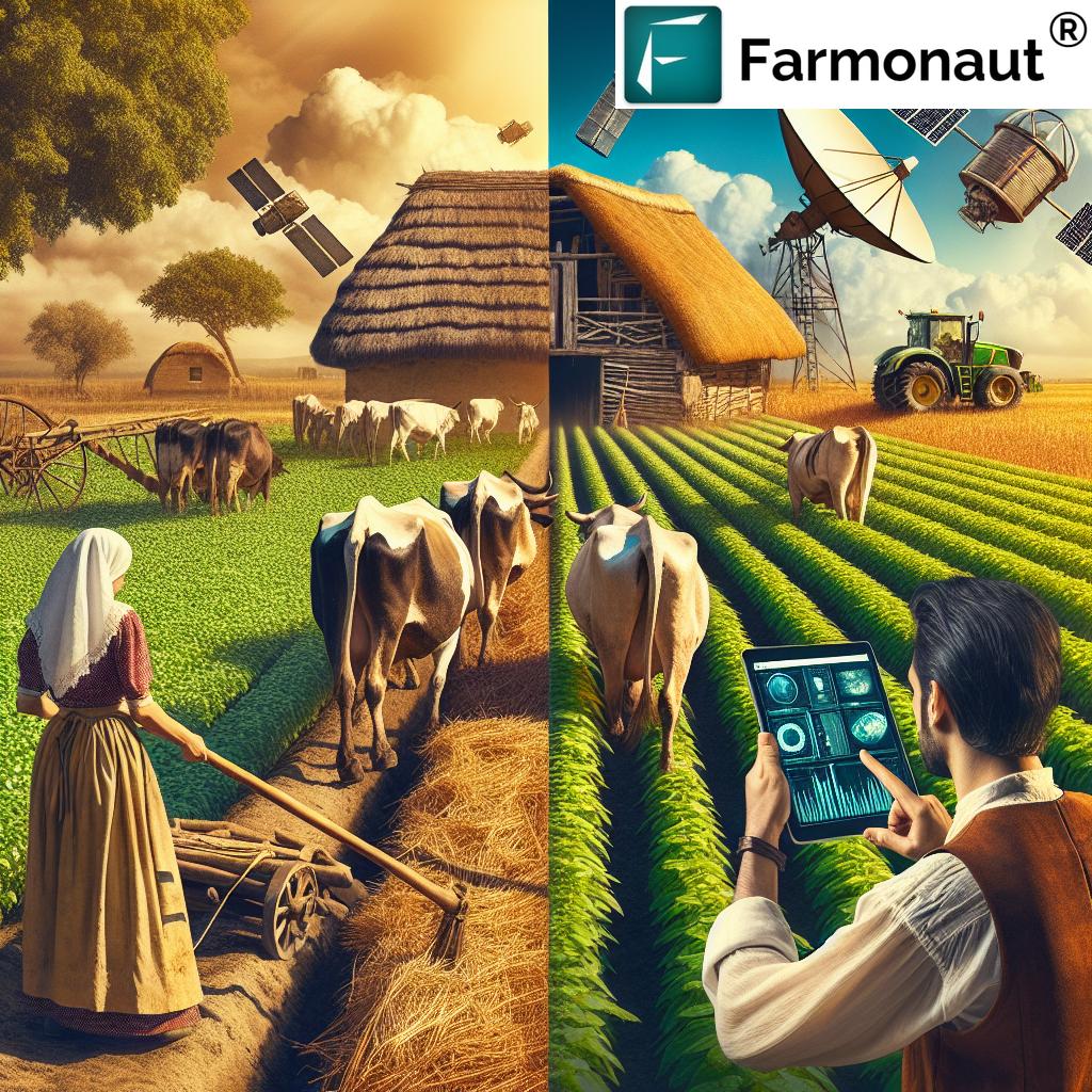
Traditional agricultural practices have long relied on manual inspection and intuition. However, as we face growing global food demands and environmental challenges, the need for more efficient and sustainable farming methods has become paramount. This is where satellite-powered crop monitoring and farm management systems come into play, offering unprecedented insights and capabilities.
Satellite Technology: A Game-Changer in Agriculture
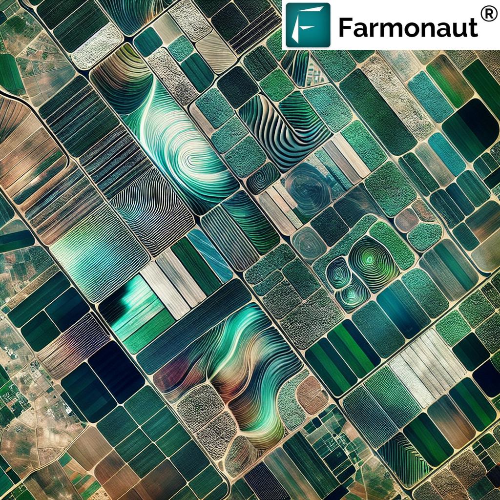
Satellite imagery and remote sensing have emerged as powerful tools in modern agriculture. These technologies provide farmers and agricultural professionals with a bird’s-eye view of their fields, offering valuable data on crop health, soil moisture, and various environmental factors. Let’s explore how satellite-based solutions are transforming different aspects of agriculture:
1. Precision Crop Monitoring
One of the most significant advantages of satellite-based agricultural solutions is the ability to monitor crops with unprecedented precision. Our advanced satellite imagery allows farmers to:
- Track crop growth stages
- Detect early signs of pest infestations or diseases
- Identify areas of stress or nutrient deficiencies
- Optimize irrigation schedules based on soil moisture data
By leveraging high-resolution satellite imagery, we provide farmers with detailed vegetation indices such as the Normalized Difference Vegetation Index (NDVI). These indices offer crucial insights into crop health and vigor, enabling timely interventions and informed decision-making.
2. Soil Health Management
Healthy soil is the foundation of successful agriculture. Our satellite-based soil monitoring capabilities allow farmers to:
- Assess soil moisture levels across large areas
- Identify soil composition and texture variations
- Monitor organic carbon content in soils
- Detect erosion-prone areas and implement conservation measures
By providing detailed soil health data, we empower farmers to make informed decisions about fertilizer application, tillage practices, and crop rotation strategies, ultimately leading to improved soil fertility and sustainable land management.
3. Climate-Smart Agriculture
As climate change continues to impact agricultural productivity, adapting to changing weather patterns is crucial. Our satellite-based climate monitoring tools help farmers:
- Access accurate, localized weather forecasts
- Track historical climate data and trends
- Predict and prepare for extreme weather events
- Optimize planting and harvesting schedules based on climate patterns
By integrating climate data with crop monitoring information, we enable farmers to make climate-smart decisions that enhance resilience and productivity in the face of changing environmental conditions.
4. Precision Agriculture and Resource Optimization
Efficient resource management is key to sustainable agriculture. Our satellite-powered solutions facilitate precision agriculture by:
- Creating high-resolution field maps for variable rate applications
- Optimizing irrigation systems based on real-time soil moisture data
- Enabling targeted pesticide and fertilizer applications
- Reducing waste and minimizing environmental impact
By providing farmers with precise, location-specific data, we help them optimize resource use, reduce costs, and minimize the environmental footprint of their operations.
The Power of Geospatial Analytics in Agriculture
Geospatial analytics play a crucial role in transforming raw satellite data into actionable insights for farmers and agricultural professionals. Our advanced analytics capabilities allow us to:
- Process and analyze vast amounts of satellite imagery
- Detect patterns and anomalies in crop growth
- Generate predictive models for crop yield estimation
- Create custom reports and visualizations for easy interpretation
By harnessing the power of geospatial analytics, we provide farmers with valuable insights that drive informed decision-making and improved agricultural outcomes.
Enhancing Agricultural Production through Satellite-Based Farm Management
Effective farm management is crucial for optimizing agricultural production. Our satellite-powered farm management solutions offer a range of benefits:
- Streamlined field boundary mapping and management
- Accurate crop area estimation and yield forecasting
- Efficient resource allocation based on field-specific data
- Enhanced record-keeping and compliance reporting
By providing a comprehensive, data-driven approach to farm management, we help agricultural businesses improve operational efficiency and maximize productivity.
Satellite Monitoring for Sustainable Forestry and Environmental Conservation
Beyond traditional agriculture, our satellite monitoring capabilities extend to forestry and environmental conservation efforts. We support sustainable forest management by:
- Monitoring forest cover and detecting deforestation
- Assessing forest health and biodiversity
- Supporting reforestation and afforestation initiatives
- Tracking carbon sequestration in forested areas
Our satellite-based monitoring solutions play a vital role in preserving ecosystems, combating climate change, and promoting sustainable land use practices.
The Role of High-Resolution Imagery in Precision Agriculture
High-resolution satellite imagery is a cornerstone of precision agriculture. Our advanced imaging capabilities provide:
- Detailed crop health maps at the sub-field level
- Precise identification of problem areas within fields
- Accurate measurement of field boundaries and crop areas
- Enhanced ability to detect and monitor small-scale variations
By leveraging high-resolution imagery, we enable farmers to make highly targeted interventions and optimize their agricultural practices with unprecedented precision.
Integrating Satellite Data with Other Agricultural Technologies
To maximize the benefits of satellite-based agricultural solutions, we integrate our technology with other cutting-edge farming tools and practices:
- IoT sensors for ground-truth data collection
- Drone technology for complementary high-resolution imaging
- AI and machine learning for advanced data analysis and predictions
- Precision agriculture equipment for variable rate applications
By creating a comprehensive, integrated approach to farm management, we provide farmers with a powerful toolkit for optimizing their operations and achieving sustainable productivity gains.
Addressing Agricultural Challenges with Satellite-Based Solutions
Satellite-powered agricultural solutions offer innovative approaches to addressing some of the most pressing challenges facing modern agriculture:
1. Food Security
By optimizing crop production and reducing losses, our satellite-based solutions contribute to enhanced food security on a global scale. We help farmers:
- Increase crop yields through precision management
- Reduce crop losses due to pests, diseases, and environmental factors
- Improve resource efficiency to support sustainable intensification
- Enhance resilience to climate change and other threats
2. Environmental Sustainability
Our satellite-powered agricultural solutions promote environmentally sustainable farming practices by:
- Optimizing resource use to reduce waste and environmental impact
- Supporting conservation agriculture and soil health management
- Facilitating precision agriculture to minimize chemical inputs
- Monitoring and reducing carbon footprints in agricultural operations
3. Economic Viability of Farming
By providing farmers with powerful tools for optimization and decision-making, we help improve the economic viability of farming operations:
- Reducing input costs through targeted resource application
- Increasing yields and crop quality for higher market value
- Minimizing risks through early detection of problems
- Improving overall farm management efficiency
The Future of Satellite-Powered Agriculture
As technology continues to advance, the potential for satellite-based agricultural solutions is boundless. Some exciting developments on the horizon include:
- Hyperspectral imaging for even more detailed crop and soil analysis
- Real-time satellite monitoring for instantaneous decision-making
- Advanced AI-driven predictive models for crop yield and market trends
- Integration with autonomous farming systems for fully optimized operations
At Farmonaut, we’re committed to staying at the forefront of these technological advancements, continually improving our offerings to provide farmers with the most powerful and effective tools for sustainable agricultural production.
Comparison: Farmonaut’s Satellite-Powered Crop Monitoring vs. Traditional Methods
| Aspect | Traditional Methods | Farmonaut Satellite System |
|---|---|---|
| Accuracy | Limited by manual observation and sampling | High accuracy with comprehensive field coverage |
| Real-time Monitoring | Periodic, time-consuming field visits | Continuous, real-time monitoring capabilities |
| Cost-effectiveness | Labor-intensive and potentially costly for large areas | Scalable and cost-effective for farms of all sizes |
| Data Analysis | Limited to manual interpretation and basic analytics | Advanced geospatial analytics and AI-driven insights |
| Environmental Impact | Potential for over-application of inputs | Optimized resource use for reduced environmental impact |
| Scalability | Challenging to scale across large areas | Easily scalable from small farms to large agricultural regions |
This comparison highlights the significant advantages of Farmonaut’s satellite-powered crop monitoring system over traditional methods, emphasizing its efficiency, accuracy, and sustainability benefits.
Getting Started with Farmonaut’s Satellite-Powered Agricultural Solutions
Ready to revolutionize your farming operations with the power of satellite technology? Here’s how you can get started with Farmonaut:
- Visit our website at https://farmonaut.com/app_redirect to learn more about our offerings.
- Download our mobile app from the Google Play Store or the Apple App Store.
- Explore our API documentation at https://farmonaut.com/farmonaut-satellite-weather-api-developer-docs/ for integration possibilities.
- Contact our team for personalized consultations and demos.
Join the agricultural revolution today and experience the transformative power of satellite-based farm management and crop monitoring!
Subscription Options
Choose the plan that best fits your needs and start optimizing your agricultural operations today:
Frequently Asked Questions (FAQs)
Q1: How accurate is satellite-based crop monitoring?
A1: Satellite-based crop monitoring offers high accuracy, typically within 90-95% for most applications. The use of high-resolution imagery and advanced analytics ensures reliable and precise data for informed decision-making.
Q2: Can satellite monitoring replace on-ground inspections entirely?
A2: While satellite monitoring significantly reduces the need for frequent on-ground inspections, it’s best used in conjunction with occasional field visits for ground-truthing and addressing specific issues identified through satellite data.
Q3: How often is satellite imagery updated?
A3: The frequency of updates depends on the satellite constellation used and the specific service package. We offer options ranging from daily to weekly updates, allowing farmers to choose based on their needs and budget.
Q4: Is satellite-based farm management suitable for small farms?
A4: Absolutely! Our solutions are scalable and can be tailored to farms of all sizes. Small farmers can benefit from improved decision-making and resource optimization, just like larger operations.
Q5: How does satellite monitoring contribute to sustainable agriculture?
A5: Satellite monitoring promotes sustainability by enabling precise resource management, reducing waste, minimizing chemical inputs, and supporting conservation practices. It helps farmers optimize their operations while reducing environmental impact.
Q6: Can satellite data integrate with my existing farm management software?
A6: Yes, we offer API access that allows integration with various farm management software platforms. Our team can work with you to ensure seamless integration with your existing systems.
Q7: How does weather data factor into satellite-based agricultural solutions?
A7: Weather data is crucial in interpreting satellite imagery and providing context for crop health and soil moisture information. Our solutions incorporate weather data to provide more accurate and actionable insights.
Q8: What kind of support do you offer for users of your satellite-based agricultural solutions?
A8: We provide comprehensive support including onboarding assistance, technical support, regular training sessions, and access to our knowledge base. Our team of agronomists and tech experts is always available to help you make the most of our solutions.
In conclusion, satellite-powered crop monitoring and farm management represent the future of sustainable and efficient agriculture. By harnessing the power of advanced technology, we at Farmonaut are committed to empowering farmers, enhancing agricultural productivity, and promoting environmentally responsible farming practices. Join us in revolutionizing agriculture for a more sustainable and food-secure future.