Applications of Satellite Imagery Bands - Part 1: Coastal Aerosol (B1), Blue (B2), Green (B3), and Red (B4)
With these series of articles, we wish to provide a comprehensive analysis of what, where and how the satellite imagery accessed through our system can be used. In each article starting with this one, we will explore a few satellite imagery bands in detail with their applications.
B1: Coastal Aerosol
Check out this image of Coastal Area of Southern Florida taken by the satellite on 4-Dec-2018, capturing the aerosol band (0.4333–0.453 µm).
Since water absorbs and scatters light, oceans and lakes tend to look dark or lack detail on True color satellite images, especially in the murky waters near coastlines. Coastal Aerosol (B1) imagery allows for coastal water and ocean color observation, as it reflects blues and violets, and displays subtle differences in the color of water, and these changes in color intensity can indicate what is mixed in the water.
These superior resolutions have enabled inspections of not only the coastal and inland waters but also enhanced visualization of the shallow waters. These kinds of images are especially useful for marine biologists and geologists to observe microbes, chlorophyll concentrations, suspended sediments, coral reefs as well as phytoplankton and algae blooms in water bodies.
This band can also be used in estimating the concentration and tracking fine particles of aerosols such as smoke and haze in the atmosphere.
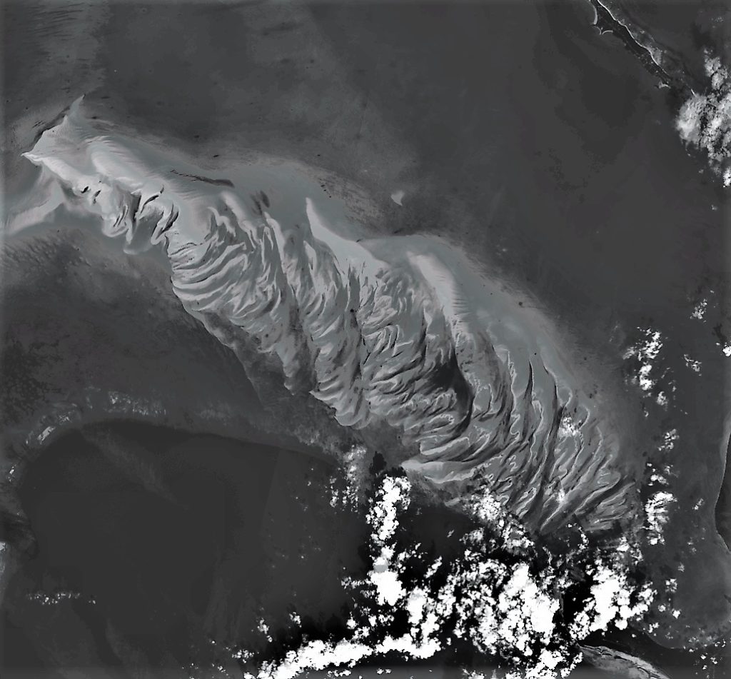
Let’s explore some more Coastal Aerosol Imagery, shall we?
B2: Blue, B3: Green, B4: Red
The bands which make a True Color Image, that is, the Blue Band (B2: 0.490 µm), the Green Band (B3: 0.560 µm), and the Red Band (B4: 0.665 µm) have a lot of applications when combined with other bands of different wavelengths. For example, analysis of vegetation health, concentration of water in the land, differentiation between snow and clouds in a true color image etc., all these analysis can be done by combining one or more bands out of Blue (B2), Green (B3), Red (B4) with bands from non-visible spectrum. All these applications will be discussed in detail in the upcoming articles.
Do you have an awesome idea for a landscape you think is worth exploring? Or are you looking for better resolution images for your work at affordable prices? Simply click on the link below and get a 100$ joining credit. https://farmonaut.com/satellite-imagery
Famonaut aims to provide the best service and satisfy your needs. Not sure what to do? Contact us at [email protected].
We have some more interesting articles coming up soon. Stay tuned!
Wait!!
Before that…
Follow us at:
Facebook: https://facebook.com/farmonaut
Instagram: https://instagram.com/farmonaut
Twitter: https://twitter.com/farmonaut
LinkedIn: https://www.linkedin.com/company/farmonaut/
Pinterest: https://in.pinterest.com/farmonaut/
Tumblr: https://farmonaut.tumblr.com/
Youtube: https://www.youtube.com/channel/UCYWOOPPKATLgh4L6YRlYFOQ
AppLink: https://play.google.com/store/apps/details?id=com.farmonaut.android
Website: https://farmonaut.com
Satellite Imagery: https://farmonaut.com/satellite-imagery
Satellite Imagery Samples: https://farmonaut.com/satellite-imagery-samples
