Author name: farmonaut

Unlocking the Future of Farming with Satellite-Driven Agronomic Insights

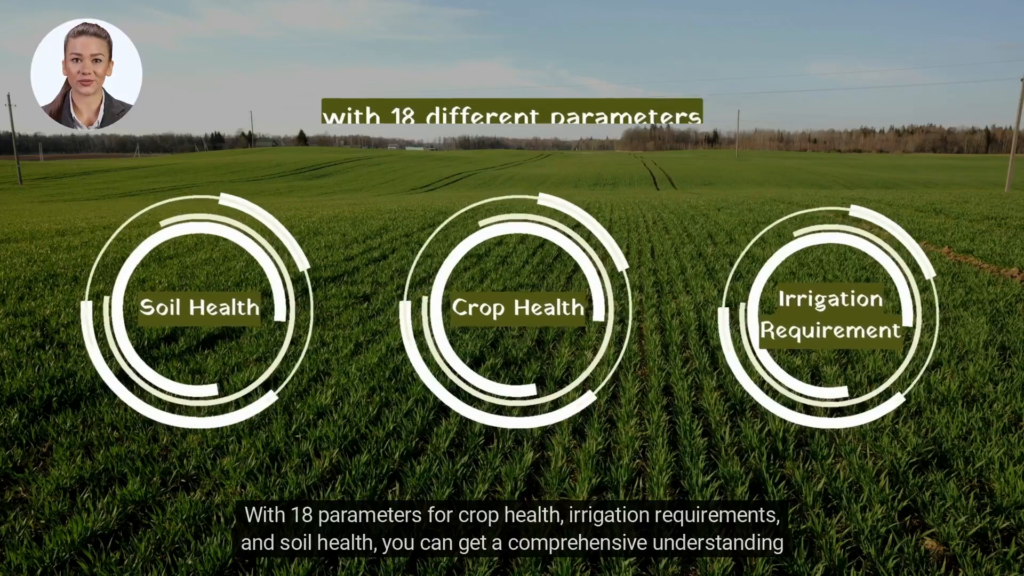
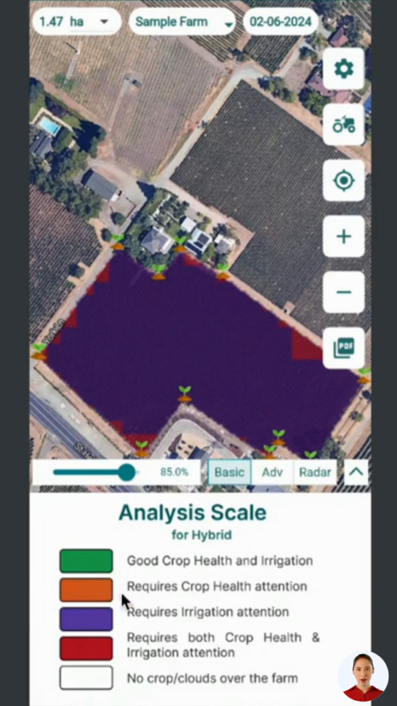
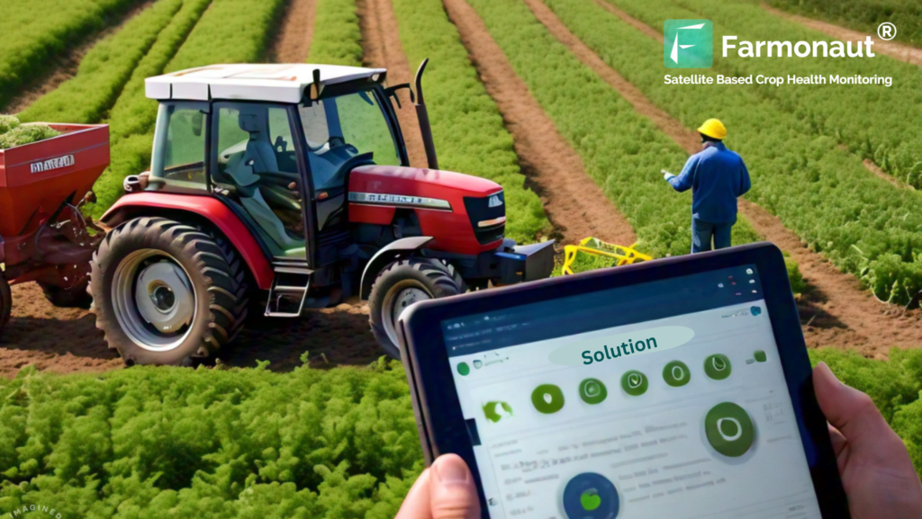
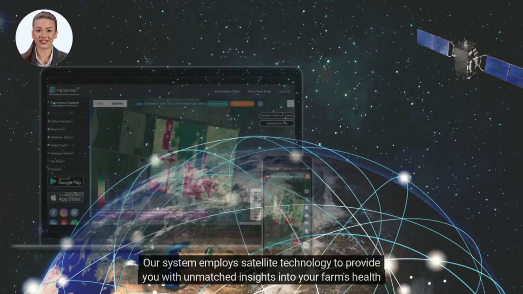
In today’s rapidly evolving agricultural landscape, farmers and agribusinesses are constantly seeking innovative solutions to optimize crop yields and enhance farm productivity. Enter Farmonaut’s satellite-based agronomic advisory system, a game-changing technology that’s transforming the way we approach farming. This cutting-edge solution harnesses the power of satellite technology to provide unparalleled insights into crop health, irrigation needs, and soil conditions

Revolutionizing Crop Health Monitoring Using Remote Sensing: A Comprehensive Review of Farmonaut’s Web App

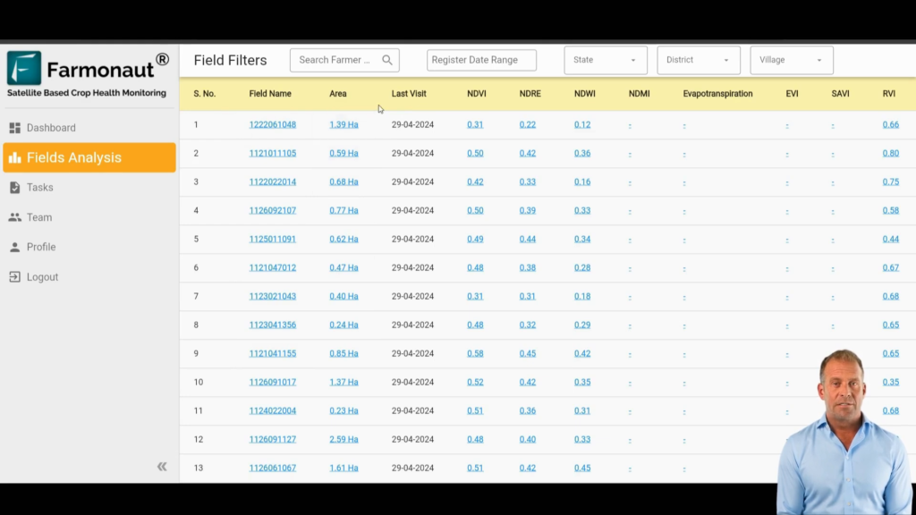
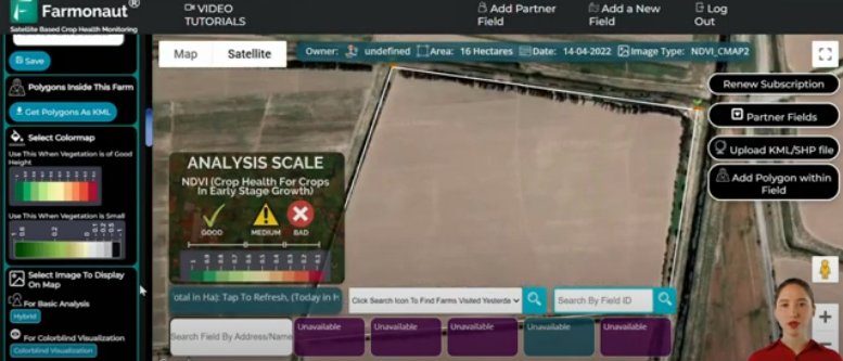
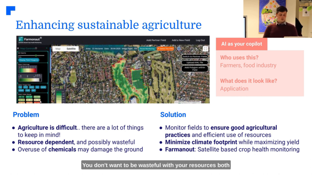
In the ever-evolving landscape of agriculture, crop health monitoring using remote sensing has emerged as a game-changing technology. Farmonaut’s web app for satellite monitoring stands at the forefront of this revolution, offering farmers and agricultural professionals a powerful tool to optimize their crop management practices. This review will delve into the features, benefits, and potential impact of Farmonaut’s platform on modern farming.

Revolutionizing Rice Farming: The Power of Alternate Wet and Dry (AWD) Farming with Smart Satellite Technology

Welcome to our latest smart farming blog, where we explore cutting-edge agricultural practices that are transforming the way we grow our food. Today, we’re diving deep into an innovative technique that’s making waves in the world of rice cultivation: Alternate Wet and Dry (AWD) farming. This blog will shed light on how this method, combined with advanced satellite technology, is reshaping the landscape of sustainable agriculture.

Revolutionizing Agriculture with Free Agriculture Satellite Imagery: The Farmonaut Solution

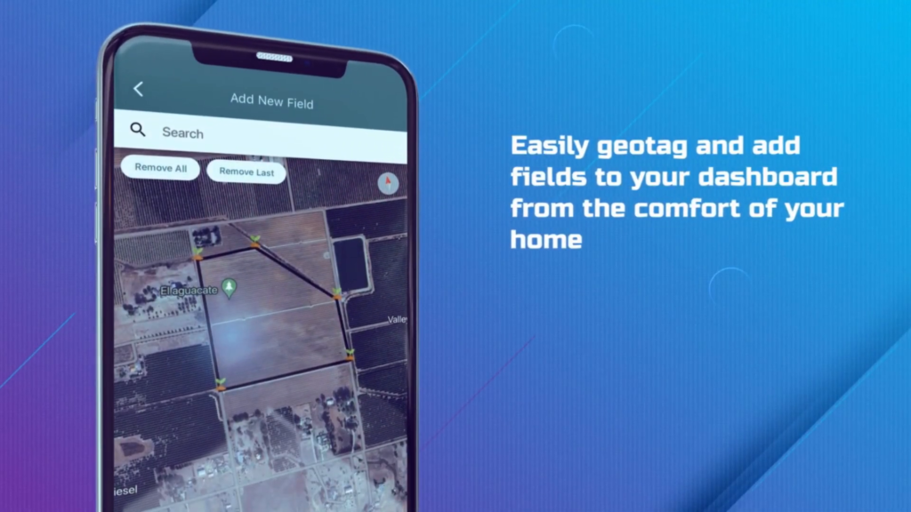
In today’s challenging agricultural landscape, farmers face complex management issues, low yields, and high costs. However, a groundbreaking solution has emerged to transform the farming experience: Farmonaut. This innovative platform leverages free agriculture satellite imagery and cutting-edge technology to simplify farming operations and boost productivity. Let’s explore how Farmonaut is revolutionizing the agriculture industry and why over 200,000 farmers worldwide trust this powerful tool. The Power of Remote Sensing in Agriculture Market The remote sensing in agriculture market has experienced significant growth in recent years, with satellite technology playing a crucial role in modernizing farming practices. Farmonaut harnesses this technology to provide farmers with invaluable insights and data-driven decision-making tools. By utilizing free satellite imagery, Farmonaut offers a cost-effective solution for farmers to monitor their crops, analyze soil health, and optimize resource management. This approach not only reduces expenses but also increases efficiency by up to 30%, making it an indispensable tool for modern agriculture. Effortless Field Management with Geotagging One of Farmonaut’s standout features is its user-friendly geotagging capability. Farmers can easily add and manage their fields from the comfort of their homes, eliminating the need for time-consuming on-site visits. This streamlined process allows for efficient field management and better organization of agricultural operations. Geotag fields with precision Add multiple fields to your dashboard Manage all fields from one centralized platform Save time and resources on field visits Advanced Farm Monitoring with Satellite Technology Farmonaut’s agriculture real-time monitoring capabilities set it apart from traditional farming methods. By leveraging free agriculture satellite imagery, the platform provides farmers with a comprehensive view of their crops’ health and overall farm conditions. Key Monitoring Features: Crop health assessment Irrigation monitoring Soil health analysis RADAR data for cloudy weather These advanced indices enable farmers to make informed decisions about crop management, irrigation schedules, and soil treatments. The ability to access real-time data, even during adverse weather conditions, ensures that farmers can stay on top of their operations year-round. AI-Powered Reports: Transforming Data into Actionable Insights Farmonaut takes the guesswork out of farming by generating detailed, satellite-based AI-powered interactive reports. These comprehensive reports provide farmers with valuable insights into their agricultural operations, helping them make data-driven decisions to optimize crop yield and resource allocation. Report Features: Interactive and easy to understand Available in over 50 languages Customized to individual farm needs Regularly updated with latest satellite data By leveraging the power of artificial intelligence and free agriculture satellite imagery, Farmonaut ensures that farmers have access to the most up-to-date and relevant information about their fields. This level of insight was previously only available to large-scale agricultural operations, but now it’s accessible to farmers of all sizes. Personalized AI Advice for Optimal Farm Management Farmonaut goes beyond just providing data – it offers personalized AI advice to help farmers make the best decisions for their specific needs. This feature acts as a virtual agricultural consultant, providing tailored recommendations on various aspects of farm management. AI Advice Categories: Irrigation scheduling Pest and disease control Weed management Fertilizer application By combining free agriculture satellite imagery with advanced AI algorithms, Farmonaut can identify potential issues before they become major problems. This proactive approach helps farmers prevent crop losses and optimize resource usage, leading to increased yields and reduced costs. The Economic Impact of Farmonaut Implementing Farmonaut’s technology can have a significant positive impact on a farm’s bottom line. By leveraging free agriculture satellite imagery and AI-driven insights, farmers can achieve substantial improvements in their operations. Economic Benefits of Using Farmonaut Metric Improvement Cost Reduction 25% Efficiency Increase 30% These impressive figures demonstrate the transformative power of integrating satellite technology and AI into agricultural practices. By reducing costs and increasing efficiency, Farmonaut helps farmers improve their profitability and sustainability. Applications of Satellite Technology in Agriculture The applications of satellite technology in agriculture extend far beyond basic crop monitoring. Farmonaut harnesses the power of free agriculture satellite imagery to provide a wide range of benefits to farmers around the world. Key Applications: Crop yield prediction Drought monitoring and management Precision agriculture Land use classification Climate change impact assessment By utilizing these applications, farmers can make more informed decisions about planting, harvesting, and resource allocation. This data-driven approach leads to more sustainable farming practices and improved food security on a global scale. The Rise of Automated Pest Monitoring Systems One of the most promising developments in the agriculture sector is the growth of the automated pest monitoring system market. Farmonaut integrates this technology with free agriculture satellite imagery to provide farmers with a comprehensive pest management solution. Benefits of Automated Pest Monitoring: Early detection of pest infestations Reduced pesticide use Improved crop quality Lower labor costs By combining satellite data with on-the-ground sensors and AI analysis, Farmonaut can alert farmers to potential pest issues before they become widespread. This proactive approach not only saves crops but also promotes more environmentally friendly farming practices. Leveraging Free Satellite Imagery for Global Agriculture The availability of free satellite imagery has been a game-changer for the agricultural industry. Farmonaut takes full advantage of this resource, providing farmers with access to high-quality satellite data without the hefty price tag typically associated with such technology. Sources of Free Satellite Imagery: Sentinel-2 (European Space Agency) Landsat (NASA/USGS) MODIS (NASA) By utilizing these free satellite resources, Farmonaut democratizes access to advanced agricultural technology. This approach allows small-scale farmers and large agricultural operations alike to benefit from satellite-based insights and improve their farming practices. Frequently Asked Questions What is Farmonaut? Farmonaut is an innovative agricultural platform that uses free agriculture satellite imagery and AI technology to help farmers manage their fields more efficiently, monitor crop health, and make data-driven decisions. How does Farmonaut use free agriculture satellite imagery? Farmonaut leverages free satellite imagery from sources like Sentinel-2 and Landsat to provide farmers with real-time data on crop health, soil conditions, and other important agricultural factors. Can Farmonaut help reduce farming costs? Yes, Farmonaut has been shown to help reduce farming costs by up to 25% through optimized resource management and

Advancing Global Agriculture with NDVI and NDWI: Revolutionizing Large-Scale Farm Management

In today’s rapidly evolving agricultural landscape, technology integration has become crucial for success. The Farmonaut Agro admin app emerges as a game-changer, addressing the complex challenges of large-scale farm management, crop health optimization, and efficient task management. By leveraging satellite data, robust analytics, and streamlined team features, this innovative solution is transforming the way we approach agriculture with NDVI and NDWI.

Maximizing Global Crop Yields with Satellite Monitoring: How to Calculate Crop Yield and Optimize Farm Productivity

Understanding how to calculate crop yield is essential for optimizing agricultural productivity. In today’s rapidly evolving agricultural landscape, farmers and agribusinesses are constantly seeking innovative ways to enhance their crop yields and manage their farms more efficiently. One groundbreaking solution that has emerged to address these challenges is Farmonaut’s satellite-based crop health monitoring system. This cutting-edge technology is revolutionizing the way we approach farm management and crop yield calculation.

Revolutionizing Soil Health: The Importance of Organic Matter in Soil

In the ever-evolving world of agriculture, understanding and managing soil health has become paramount. At the forefront of this revolution is the recognition of the importance of organic matter in soil. This blog post delves into the groundbreaking work of Farmonaut, a satellite-based crop health monitoring organization, and their collaboration with Fair Climate Fund to accurately measure and analyze soil organic carbon. We’ll explore how this technology is shaping sustainable farming practices and why organic carbon is crucial for soil health.

Revolutionizing Honey Production: Real-Time Farm Tracking and Blockchain-Based Traceability with Farmonaut and Dabur

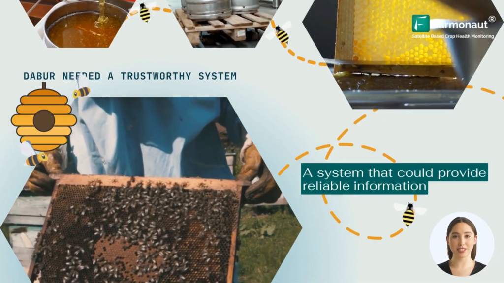
In the world of honey production, where bees craft nature’s sweetest nectar, a groundbreaking partnership between Farmonaut and Dabur is set to transform the industry. This collaboration introduces an innovative real-time farm tracking system and blockchain-based traceability platform, addressing critical challenges in honey production and supply chain management. Let’s delve into this extraordinary journey that promises to unveil the secrets hidden within every drop of honey.

Revolutionizing Agriculture: The Ultimate Remote Farm Tracking System

n the ever-evolving world of agriculture, staying ahead of the curve is crucial for success. Enter Farmonaut, a groundbreaking remote farm tracking system that’s set to transform the way we approach farming. With its innovative blend of blockchain traceability solutions and cutting-edge crop tracking software, Farmonaut is ushering in a new era of precision agriculture. Let’s dive into the incredible tech advancements that make this remote farm tracking system a game-changer for farmers worldwide.

Revolutionizing Honey Production: Unveiling the Power of Agriculture Experiment Tracking and Blockchain-Based Traceability

In the world of agriculture, where bees craft nature’s sweetest nectar, a groundbreaking revolution is underway. Join us on an extraordinary journey as we explore how agriculture experiment tracking and blockchain-based traceability are transforming the honey industry. This innovative approach not only ensures product authenticity but also enhances the entire supply chain process.

Revolutionizing Agriculture: The Power of Agri-Tech Mobile Satellite Services

In the ever-evolving world of agriculture, the integration of technology has become paramount for optimizing crop yields and ensuring sustainable farming practices. One of the most groundbreaking advancements in this field is the use of agri-tech mobile satellite services. These innovative solutions are transforming the way farmers monitor and manage their crops, providing unprecedented insights into crop health, irrigation needs, and overall farm productivity.

This comprehensive guide will delve into the world of farming satellites and crop technology, exploring how agri-tech mobile satellite services are revolutionizing the agricultural landscape. We’ll examine the various features and benefits of these cutting-edge tools, with a particular focus on a leading agtech iOS app firm that’s making waves in the industry.

Revolutionizing Agriculture: The Power of NDVI and Satellite Monitoring

In the ever-evolving world of agriculture, staying ahead of the curve is crucial for farmers and agronomists alike. One of the most powerful tools in modern farming is the use of satellite monitoring and vegetation indices, particularly the Normalized Difference Vegetation Index (NDVI). This blog post will delve into the intricacies of NDVI, its applications in agriculture, and how cutting-edge platforms like Farmonaut are leveraging this technology to revolutionize crop management.

What is NDVI in Agriculture: A Comprehensive Guide to Satellite Monitoring for Crop Management

In the ever-evolving world of agriculture, staying ahead of the curve is crucial for success. One of the most powerful tools at a farmer’s disposal is satellite monitoring, with NDVI (Normalized Difference Vegetation Index) being a key component. But what is NDVI in agriculture, and how can it revolutionize crop management? Let’s dive into the world of satellite monitoring and explore how it’s transforming modern farming practices.

Revolutionizing Large-Scale Farm Management with the Normalized Difference Vegetation Index Formula

In today’s rapidly evolving agricultural landscape, technology integration is crucial for optimizing crop health and yields. The Farmonaut Agro admin app addresses challenges in large-scale farm management, crop health optimization, and efficient task management. By leveraging satellite data, robust analytics, and team management features, it enhances farm management capabilities and revolutionizes the way we approach agriculture.

Revolutionizing Agriculture: How to Calculate Yield in Agriculture with Farmonaut’s Crop Area Estimation

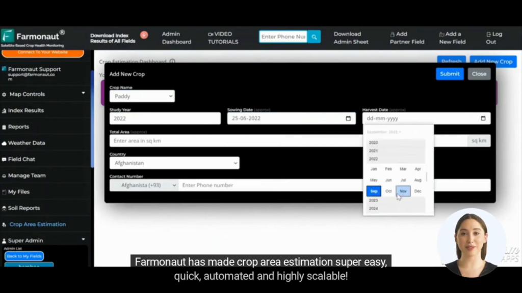
In the global agricultural market, precise yield estimation is essential for maximizing productivity and minimizing losses. Farmers and agricultural companies are increasingly turning to advanced technologies to improve their crop yield calculations. This blog post will explore how Farmonaut’s innovative crop area estimation system is transforming the way we calculate yield in agriculture, making the process more efficient, accurate, and scalable than ever before.

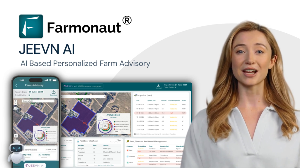
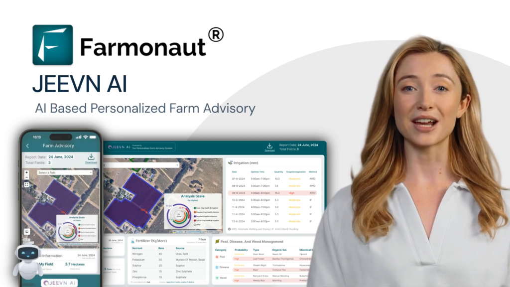
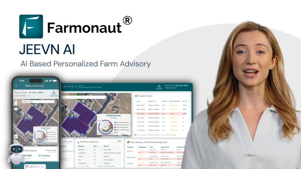
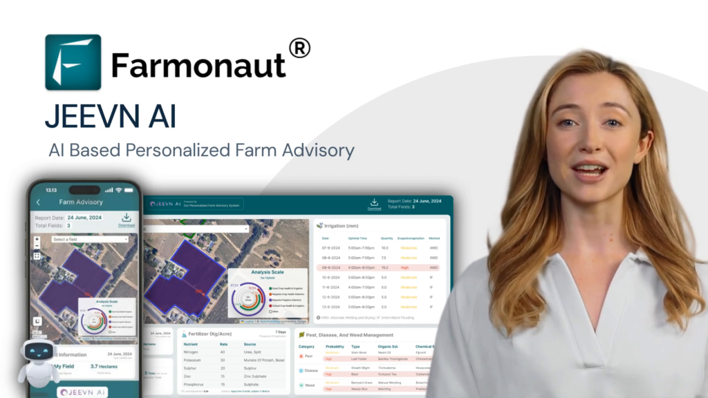
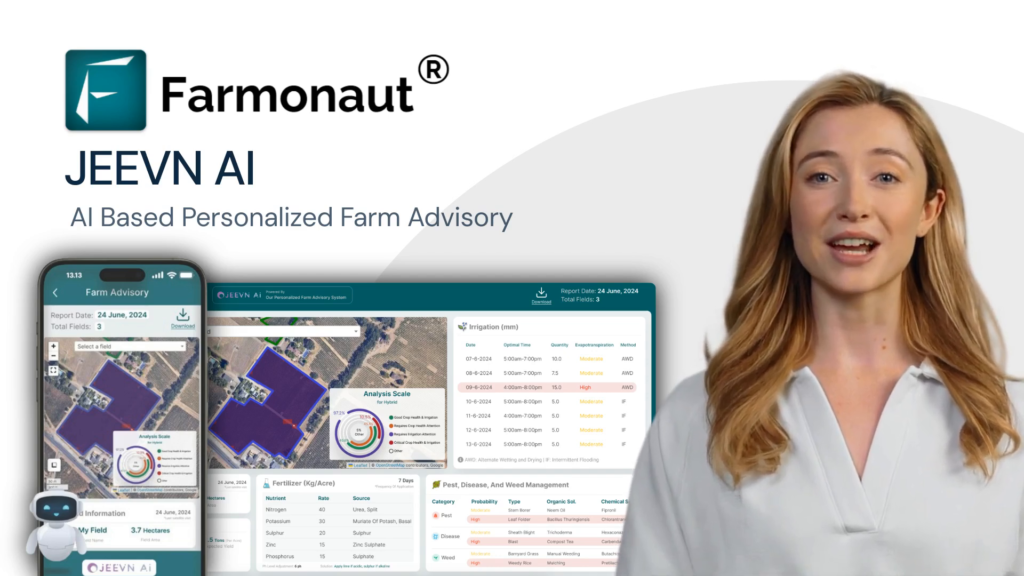
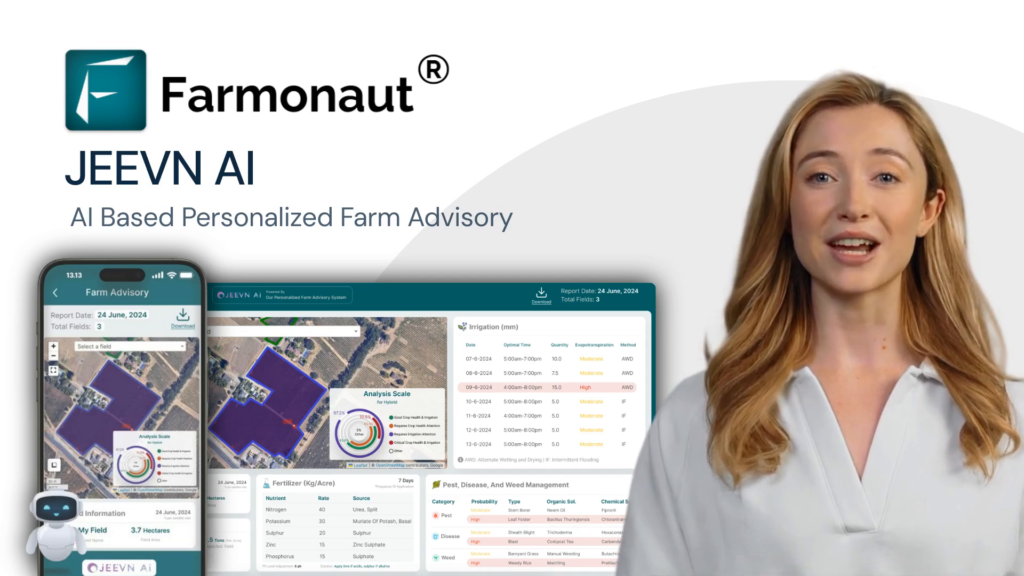
Revolutionizing Agriculture: JEEVN AI’s Crop-Specific Acreage and Yield Estimation

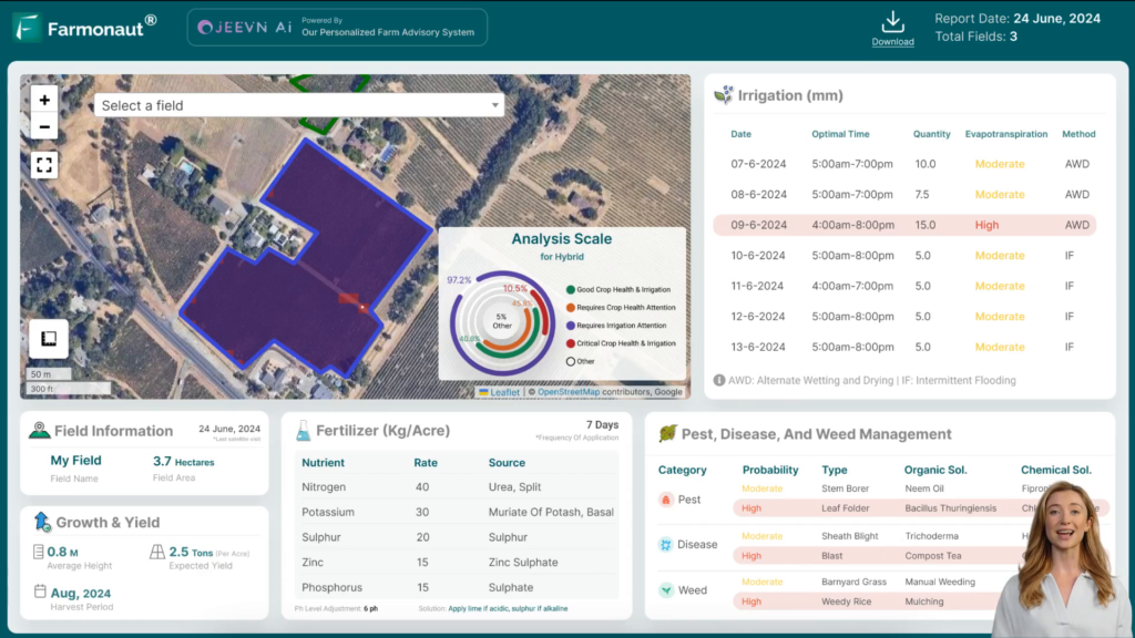
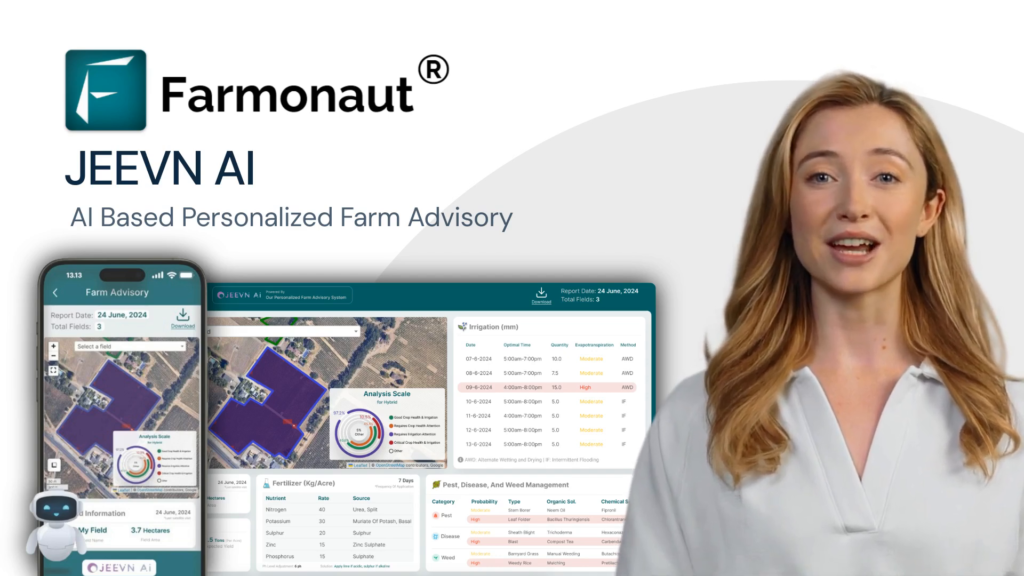
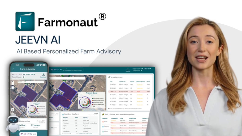
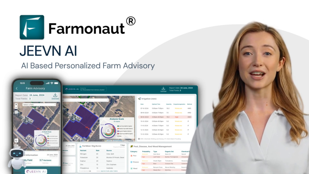
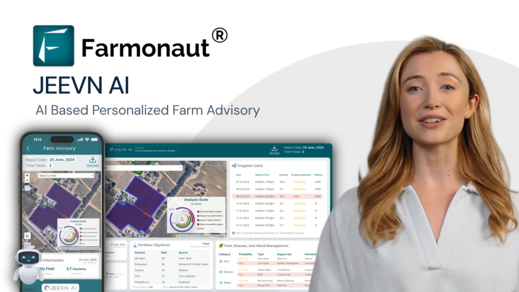
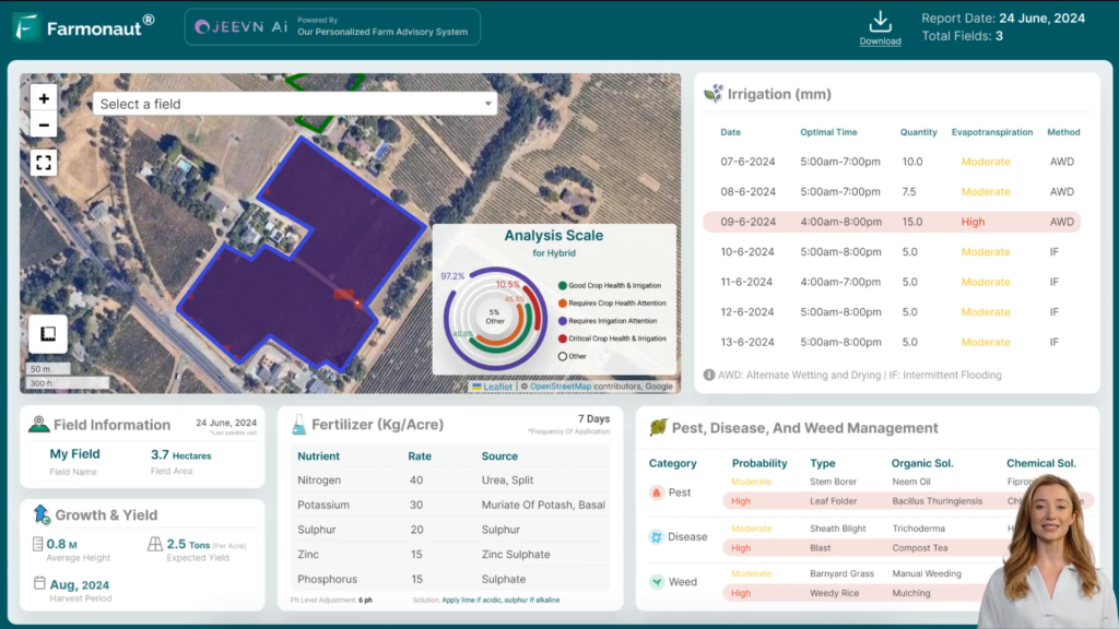
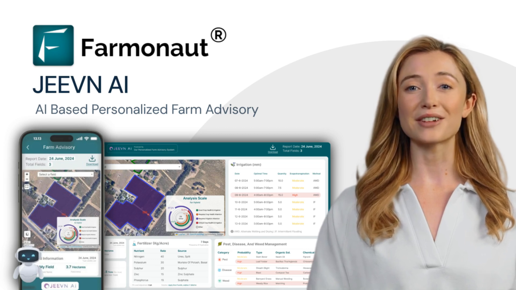
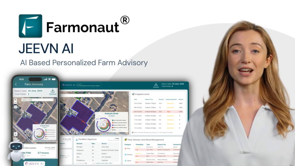
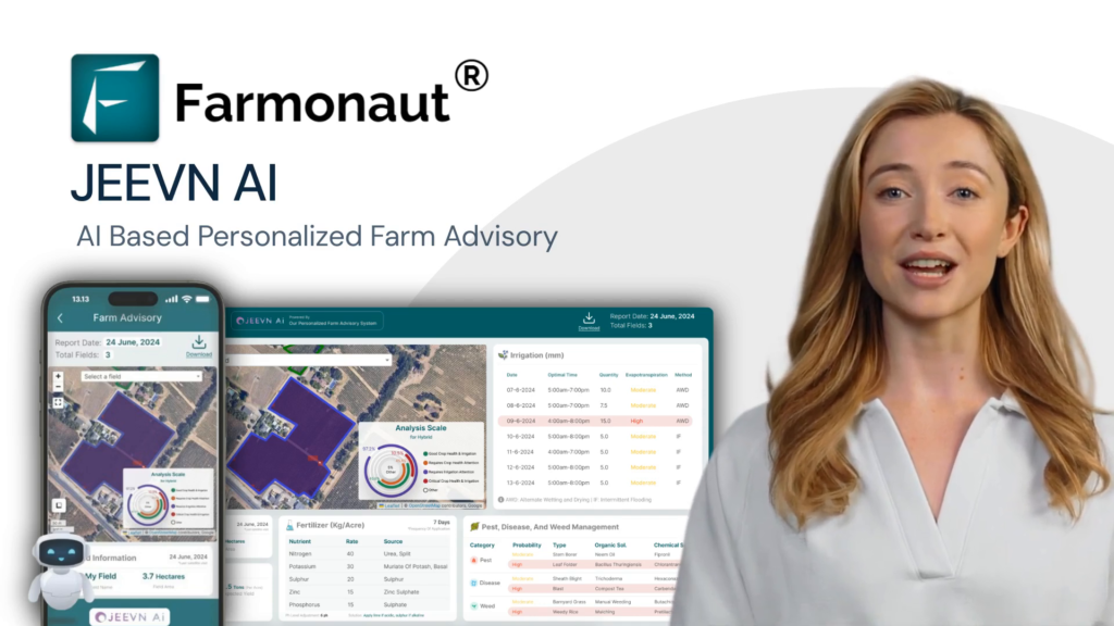
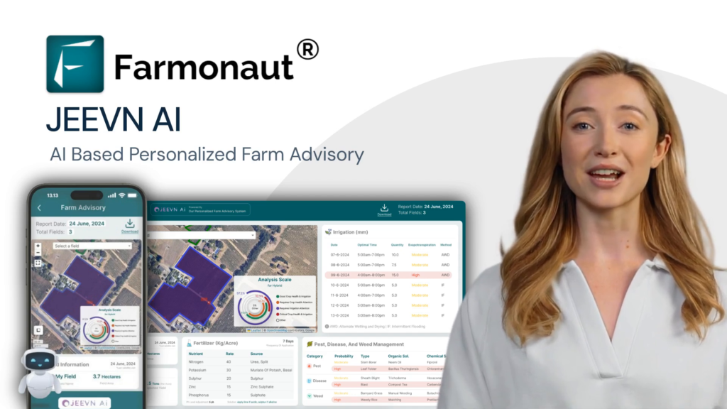
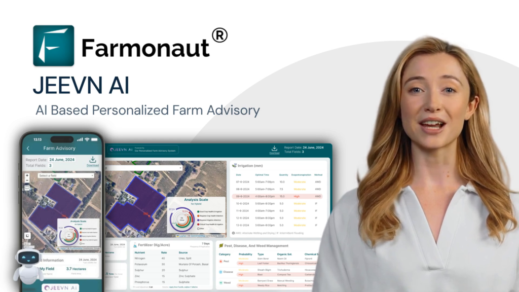
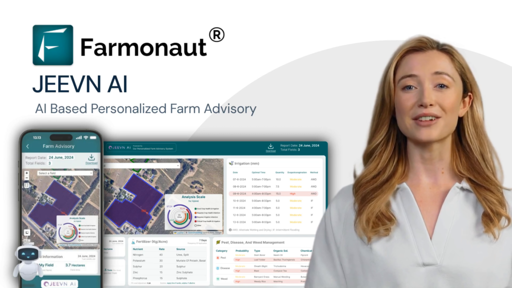
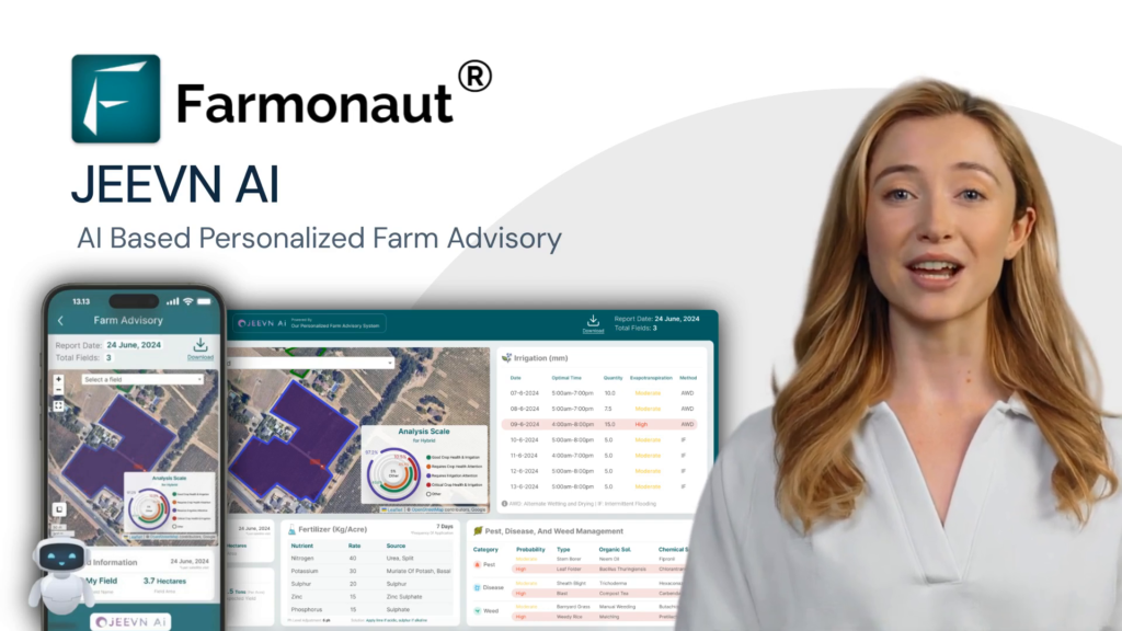
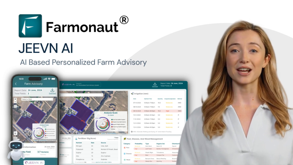
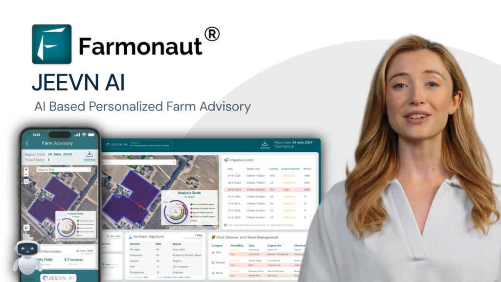
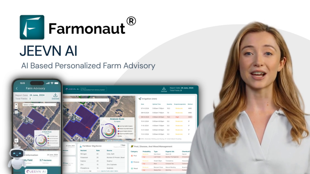
In the ever-evolving world of agriculture, precision and efficiency have become paramount. Enter JEEVN AI, an innovative solution by Farmonaut Technologies that’s set to transform the farming landscape. This cutting-edge tool harnesses the power of artificial intelligence to provide farmers with precise, actionable insights, ensuring their farms thrive in an increasingly competitive market. The Power of AI in Modern Farming JEEVN AI integrates satellite intelligence, weather data, local farm information, and various other parameters to deliver tailored recommendations for your specific farming needs. It’s like having a team of experts at your fingertips, guiding you through every step of your farming process. One of the most crucial aspects of modern farming is accurate yield estimation. JEEVN AI excels in this area, offering sophisticated tools like a wheat yield calculator and crop yield estimation capabilities. These features allow farmers to make informed decisions about their crops, optimizing production and minimizing losses. Soil Nutrient Analysis and Fertilization Strategies JEEVN AI provides detailed insights into soil nutrient levels by analyzing concentrations of nitrogen, phosphorus, potassium, zinc, and sulfur. This information is crucial for maintaining optimal nutrient levels, which is essential for maximizing crop yields and ensuring healthy plant growth. For instance, if nitrogen levels are low, JEEVN AI will recommend an appropriate amount of nitrogen fertilizer to apply, ensuring your crops get the nutrients they need. This level of precision in nutrient management is a game-changer for farmers looking to optimize their yield estimates and overall farm productivity. Soil pH Monitoring and Correction Soil pH plays a significant role in nutrient availability and overall soil health. JEEVN AI monitors soil pH levels and offers corrective measures when needed. By keeping the soil pH within the optimal range, you can enhance nutrient uptake by plants, leading to better crop performance and more accurate yield estimations. If the soil pH is outside the optimal range for your crops, JEEVN AI will suggest corrective measures such as lime application to raise pH or sulfur application to lower pH. This proactive approach to soil management is crucial for achieving consistent and reliable crop yields. Early Pest and Disease Detection One of the most impressive features of JEEVN AI is its ability to identify potential pests and diseases affecting your crops. By analyzing satellite images, weather patterns, and local data, the tool can predict pest outbreaks and suggest preventive measures. Early detection and intervention are key to minimizing damage and reducing reliance on chemical pesticides. For example, if conditions are favorable for a particular pest, JEEVN AI will alert you and provide preventive measures to protect your crops. This early warning system is invaluable for maintaining healthy crops and ensuring accurate yield estimates. Efficient Water Usage and Irrigation Scheduling Efficient water usage is essential for sustainable farming. JEEVN AI uses a combination of weather data, soil moisture levels, and crop requirements to determine the optimal irrigation schedule. By providing precise recommendations on when and how much to water, JEEVN AI helps conserve water resources and prevent over or under irrigation. This ensures that your crops receive the right amount of water at the right time, promoting healthy growth and conserving water resources. Proper irrigation management is crucial for achieving optimal crop yields and making accurate yield estimations. Impact on Crop Growth and Yield The impact of JEEVN AI on crop growth and yield is profound. Not only does the tool ensure that the soil has the right balance of nutrients and maintain optimal soil pH, but it also provides critical predictions on the growth and yield of your crops. JEEVN AI can forecast the height of your crops or plantations, the expected yield per acre, and the anticipated time until harvest. These predictions allow farmers to make informed decisions to enhance their productivity and plan their activities more efficiently. The farm yield estimate provided by JEEVN AI is a valuable tool for farmers looking to optimize their operations and maximize profitability. Calculating Wheat Yield: A Case Study Let’s take a closer look at how JEEVN AI can be used for calculating wheat yield, one of the world’s most important crops. The wheat yield estimate calculator in JEEVN AI takes into account various factors such as: Soil nutrient levels Weather conditions Irrigation practices Pest and disease pressure Historical yield data By analyzing these factors, JEEVN AI provides a highly accurate wheat yield estimation, allowing farmers to make informed decisions about their crop management strategies. This level of precision in yield estimation is invaluable for planning harvests, managing resources, and optimizing overall farm operations. The Future of Farming with JEEVN AI JEEVN AI is more than just a farm advisory tool; it’s a game-changer for the agricultural industry. By leveraging the power of artificial intelligence, JEEVN AI provides farmers with the insights and recommendations they need to optimize their farming practices and achieve greater success. As we look to the future of agriculture, tools like JEEVN AI will become increasingly important. The ability to perform accurate crop-specific acreage and yield estimation will be crucial for farmers looking to stay competitive in a rapidly changing industry. By embracing this technology, farmers can say goodbye to guesswork and hello to a new era of precision agriculture. Frequently Asked Questions How accurate is JEEVN AI’s yield estimation? JEEVN AI’s yield estimation is highly accurate, thanks to its sophisticated algorithms and comprehensive data analysis. However, exact accuracy can vary depending on factors such as data quality and unforeseen environmental changes. Can JEEVN AI be used for crops other than wheat? Yes, JEEVN AI is designed to work with a wide variety of crops. While we’ve highlighted its wheat yield calculator, the system can be adapted for numerous other crops, providing crop-specific acreage and yield estimation. How often should I use JEEVN AI for yield estimation? For the most accurate results, it’s recommended to use JEEVN AI regularly throughout the growing season. This allows the system to account for changing conditions and provide up-to-date yield estimates. Does JEEVN AI require special equipment on my

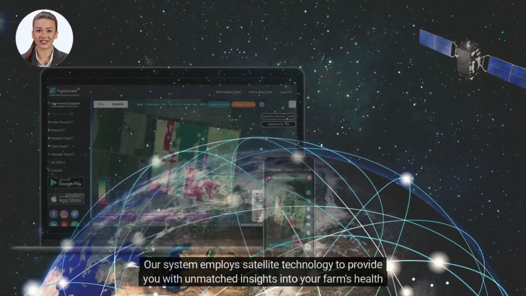
Mastering NDWI Interpretation: A Comprehensive Guide to Satellite Data Analysis in Agriculture

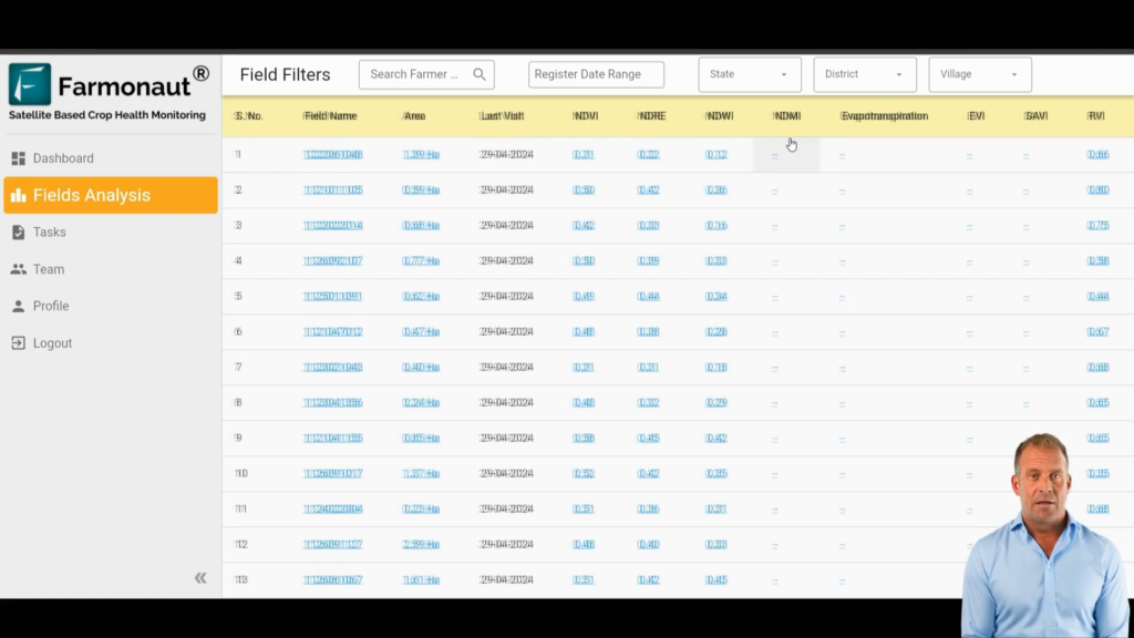
In modern agriculture, advanced crop monitoring using indices like the Normalized Difference Water Index (NDWI), Normalized Difference Red Edge Index (NDRE), and Normalized Difference Moisture Index (NDMI) is vital for maintaining optimal crop health and yield. This comprehensive guide will walk you through the process of interpreting satellite data for agriculture using various indices and tools available in mobile applications.

Understanding these indices, particularly NDWI interpretation, can significantly enhance your agricultural practices by providing crucial insights into crop health, irrigation needs, and overall field conditions. Let’s dive into the world of satellite data analysis and explore how you can leverage this technology to improve your farming decisions.

How Does Technology Impact Cotton Production: Revolutionizing Plantation Management with AI and Satellite Imagery

In the ever-evolving landscape of agriculture, technology is reshaping how we approach cotton production and plantation management. This article explores the groundbreaking impact of AI-powered systems on tree numbering, cotton stages of growth, and overall efficiency in the industry. We’ll delve into how these innovations are transforming traditional practices, offering unprecedented insights, and paving the way for a more sustainable and profitable future in cotton farming.

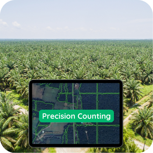
Revolutionizing Oil Palm Plantations: AI-Powered Tree Detection for Precise Plantation Area Management 🌴

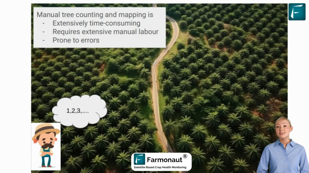
In the ever-evolving agricultural landscape, oil palm plantations play a vital role in meeting the global demand for vegetable oil. As the industry faces numerous challenges, innovative solutions are emerging to enhance efficiency, sustainability, and profitability. Enter Farmonaut’s AI-powered automated oil palm tree detection and mapping system – a game-changing technology that’s set to transform plantation management as we know it.

Revolutionizing Palm Tree Plantation Management: AI-Powered Detection and Mapping

In the ever-evolving agricultural landscape, palm tree plantations play a vital role in meeting the global demand for vegetable oil. As the industry continues to grow, the need for efficient and sustainable management practices becomes increasingly crucial. This blog post explores how cutting-edge AI technology is transforming palm tree farming, offering unprecedented insights and boosting productivity in palm oil production.

Revolutionizing Agriculture: Satellite Imagery vs Drone Imagery for Precision Farming

In the ever-evolving world of agriculture, the battle between satellite imagery vs drone imagery is reshaping how we approach farming. This technological revolution is not just changing the game; it’s redefining the playing field altogether. Let’s dive into how these cutting-edge tools are transforming crop monitoring using remote sensing and why every forward-thinking farmer needs to pay attention.

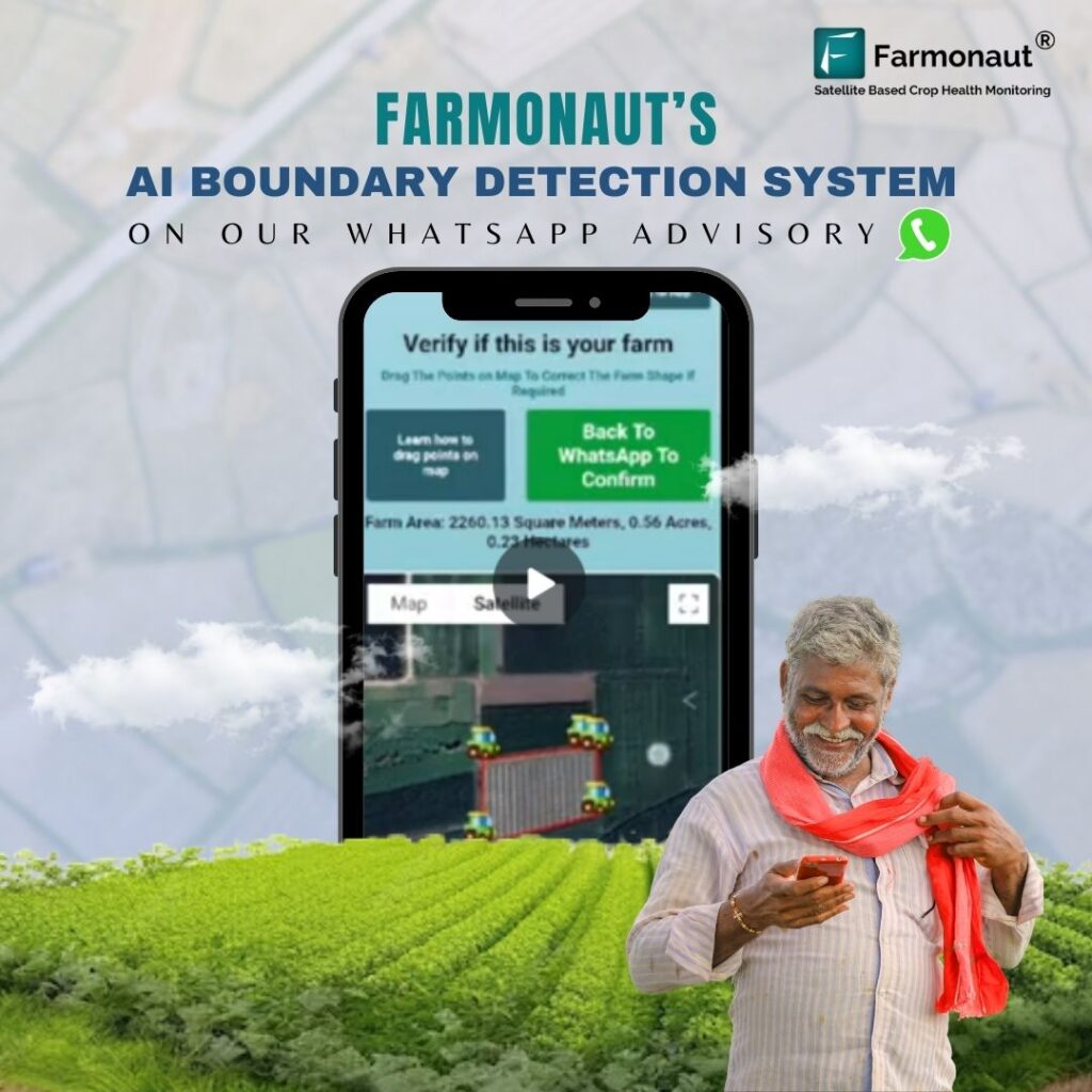
Revolutionizing Agriculture: The Power of Satellite-Based WhatsApp Advisory for Farmers

In the ever-evolving landscape of agriculture, a groundbreaking crop monitoring software is transforming the way farmers manage their fields and optimize their yields. Farmonaut’s satellite-based WhatsApp advisory service is at the forefront of this agricultural revolution, offering a user-friendly crop monitoring system that puts vital information directly into the hands of farmers. This innovative crop monitoring technology is changing the game for individual farmers, providing them with real-time insights and expert guidance to enhance their agricultural practices.

Revolutionizing Agriculture: How Farmonaut’s Crop Monitoring Platform is Transforming Farming

In the ever-evolving landscape of global agriculture, the need for advanced crop monitoring and analytics has never been more crucial. As farmers face increasing challenges from climate change, resource scarcity, and market volatility, innovative solutions are emerging to help them navigate these complexities. Enter Farmonaut, an agri-tech company that’s changing the game with its cutting-edge crop monitoring satellite technology.

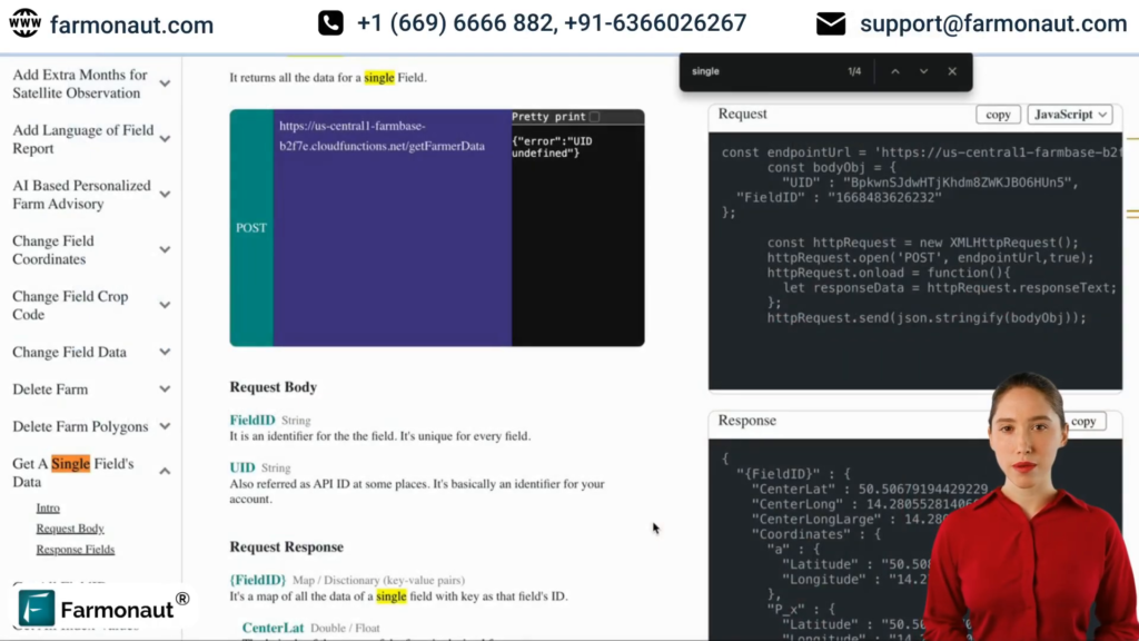
Unlocking Farm Data: A Comprehensive Guide to the Harvest Forecast API

In the rapidly evolving world of agriculture technology, accessing and utilizing farm data has become crucial for optimizing crop yields and making informed decisions. This guide will walk you through the process of retrieving valuable farm information using the powerful Harvest Forecast API. Whether you’re an iOS development firm for the agriculture technology industry or a web app design agency looking to integrate farm data into your projects, this tutorial will provide you with the knowledge you need to harness the full potential of the Harvest Forecast API.

Revolutionizing Agriculture: Web App Creation for Agriculture Technology Using Satellite Data Visualization 🌾🛰️

🚀 Introduction to Farm Visualization with Satellite Data In the rapidly evolving world of agriculture technology, web app creation for agriculture technology is becoming increasingly crucial. One of the most powerful tools in this domain is the ability to visualize farms using satellite data. This blog post will delve into the intricacies of using iFrames for API integration to visualize farm data, a game-changing approach for agriculture technology industry web app design. The integration of satellite image APIs and weather APIs into web applications is revolutionizing how we understand and manage agricultural lands. By leveraging these technologies, web app design agencies for the agriculture technology industry are creating solutions that provide unprecedented insights into farm health, crop conditions, and environmental factors. 🔑 Understanding API Keys and Field IDs in Agriculture Tech To begin your journey in web app creation for agriculture technology using satellite data visualization, you’ll need to familiarize yourself with two crucial elements: API keys and field IDs. These components are fundamental to accessing and utilizing the power of satellite imagery in your agricultural web applications. API Keys: Your Digital Access Pass An API key is essentially a unique identifier for your account. It’s the key that unlocks access to the wealth of satellite data and visualization tools. For those engaged in agriculture technology industry web app design, it’s important to note that the API key required for iFrame usage differs from the one used for general integration. Field IDs: Pinpointing Your Focus Each agricultural field you want to visualize needs a unique identifier, known as the field ID. This allows your web application to fetch and display data specific to individual fields, enabling precise analysis and monitoring. 🖼️ Exploring Image Types in Agricultural Satellite Data When it comes to web app creation for agriculture technology, understanding different image types is crucial. Two of the most commonly used types in agricultural satellite imagery are NDVI (Normalized Difference Vegetation Index) and NDWI (Normalized Difference Water Index). NDVI: Gauging Plant Health NDVI is the default image type in many agriculture technology web apps. It provides valuable insights into vegetation health and density, making it an essential tool for crop monitoring and yield prediction. NDWI: Assessing Water Content NDWI is crucial for understanding the water content in vegetation and soil. This information is vital for irrigation management and drought monitoring in agricultural settings. 📊 Visualizing Field Information in Agriculture Tech Web Apps A well-designed agriculture technology industry web app should provide comprehensive field information at a glance. This includes crucial data points that give users a complete picture of the farm they’re analyzing. Essential Field Information Information Type Description Farmer Name Identifies the owner or manager of the field Farmer Phone Contact information for quick communication Field Area Size of the agricultural land Field Name Unique identifier for the specific plot Crop Type Current cultivation in the field 🎨 Leveraging Color Maps in Agricultural Data Visualization Color maps play a crucial role in web app creation for agriculture technology, especially when it comes to interpreting satellite imagery. They provide a visual representation of different data types, making complex information easily digestible for users. Adapting to Image Types As you switch between different image types (like NDVI and NDWI), the color representation changes to convey different types of information effectively. This dynamic visualization is a key feature in advanced agriculture technology industry web app design. Adjusting Visual Intensity Many web app design agencies for the agriculture technology industry incorporate features that allow users to alter the color map. This adjustment can change the visual intensity of the image, helping to highlight specific aspects of the data. 📈 Utilizing Timeline Charts in Agricultural Web Apps Timeline charts are an essential feature in web app creation for agriculture technology. They provide a historical perspective on field conditions, allowing users to track changes over time. Plotting Index Values These charts plot the index values (such as NDVI or NDWI) at different satellite visit dates. This feature is invaluable for monitoring crop health trends, identifying potential issues early, and making data-driven decisions. Comparative Analysis Advanced agriculture technology industry web app designs often allow users to overlay multiple indices on the same timeline. This enables comparative analysis, providing deeper insights into the interplay between different agricultural factors. 🌐 Integrating Weather APIs in Agricultural Web Apps While satellite imagery provides crucial data about crop health and field conditions, integrating weather APIs can take your web app creation for agriculture technology to the next level. Weather data adds another layer of valuable information for farmers and agricultural managers. Real-time Weather Information By incorporating a weather API, your web app can provide real-time weather information specific to each field location. This includes current conditions, short-term forecasts, and historical weather data. Weather-based Insights Combining weather data with satellite imagery allows for more comprehensive analysis. For example, changes in NDVI can be correlated with recent rainfall or temperature patterns, providing deeper insights into crop health and potential yield. 🔧 Best Practices for Agriculture Technology Web App Design When engaging in web app creation for agriculture technology, there are several best practices that agriculture technology industry web app firms should keep in mind: Prioritize user-friendly interfaces Ensure mobile responsiveness Implement robust data security measures Provide clear, actionable insights Offer customization options for users Integrate with other farm management tools Regularly update with new features and data sources ❓ FAQ: Web App Creation for Agriculture Technology Q: What is the importance of satellite imagery in agriculture technology? A: Satellite imagery provides valuable insights into crop health, field conditions, and environmental factors, enabling data-driven decision-making in agriculture. Q: How can weather APIs enhance agricultural web apps? A: Weather APIs provide real-time and forecast data that can be correlated with satellite imagery to offer more comprehensive insights into field conditions and potential crop outcomes. Q: What are the key features of a good agriculture technology web app? A: Key features include satellite image visualization, weather data integration, field information display, timeline charts for historical analysis,

Mastering Satellite Images API for Agriculture: A Comprehensive Guide to Satellite & Radar Data Analysis

In the rapidly evolving world of agricultural technology, leveraging satellite images API has become a game-changer for farmers, agricultural platforms, and technology developers. This comprehensive guide will walk you through the process of utilizing our powerful API to retrieve and analyze satellite image data for agricultural fields, empowering you to make data-driven decisions and optimize farm management.

Whether you’re developing a native mobile app for the agriculture technology industry or seeking to integrate satellite weather data into your existing systems, this tutorial will provide you with the knowledge and tools to dynamically access and utilize this crucial information.

Farmonaut: Revolutionizing Agriculture with Innovative Crop Identification and Health Monitoring Systems

In the ever-evolving landscape of modern agriculture, maintaining optimal crop health has become paramount. As we bid farewell to 2023, Farmonaut stands at the forefront of agricultural innovation, championing advanced crop health monitoring systems and groundbreaking crop identification technologies. This year has been a testament to our commitment to transforming farming practices globally, with a special focus on crop health analysis and monitoring using cutting-edge remote sensing techniques.

Revolutionizing Farm Management: A Comprehensive Guide to Agriculture Technology Native Mobile App Design

In the rapidly evolving agriculture technology industry, web app design and mobile app solutions are becoming increasingly crucial for efficient farm management. This comprehensive guide will walk you through the process of managing fields and farms using easy-to-implement APIs, showcasing how agriculture technology native mobile app design can transform your farming operations.

Whether you’re an agriculture technology industry web app developer, part of an agriculture technology web app consultancy, or simply interested in leveraging custom weather APIs for farming, this article will provide valuable insights into the world of agriculture technology web app creation.

Revolutionizing Apple Farming in West Virginia with Farmonaut’s Free Agriculture Satellite Imagery: JEEVN AI

In the rolling hills of West Virginia, where apple orchards have been a staple for generations, a new era of farming is dawning. Farmonaut’s free agriculture satellite imagery, powered by JEEVN AI, is set to transform the way Mountain State apple growers approach their craft. This innovative solution brings precision and efficiency to the forefront of agricultural practices, addressing the unique challenges faced by West Virginia’s apple industry.

Revolutionizing Wisconsin Wheat Farming: JEEVN AI’s Crop Yield Estimation and Optimization

Wisconsin wheat farmers, it’s time to embrace the future of farming with JEEVN AI, an innovative solution by Farmonaut Technologies. In an era where precision and efficiency are paramount, JEEVN AI is here to eliminate guesswork and bring science and technology to the forefront of agricultural practices in the Badger State. This powerful tool harnesses the capabilities of artificial intelligence to provide Wisconsin farmers with precise, actionable insights that ensure their wheat farms thrive.

Revolutionizing Wisconsin Hay Farming: Farmonaut’s Crop Monitoring Using Remote Sensing

Wisconsin hay farmers and agricultural companies, get ready to embrace the future of farming with JEEVN AI, an innovative solution by Farmonaut Technologies. In an industry where precision and efficiency are paramount, JEEVN AI is stepping in to revolutionize crop monitoring using remote sensing. This powerful tool harnesses the capabilities of artificial intelligence to provide Wisconsin farmers with precise, actionable insights that ensure their hay farms thrive in the challenging Midwest climate.

Revolutionizing Wisconsin Soybean Farming: Farmonaut’s Crop Monitoring and Management with JEEVN AI

Wisconsin soybean farmers, get ready to embrace the future of agriculture! JEEVN AI, an innovative solution by Farmonaut Technologies, is here to transform your farming practices and boost your yields. In this comprehensive review, we’ll explore how this cutting-edge crop monitoring app can benefit your operations and address the unique challenges faced by soybean growers in the Badger State.

Revolutionizing Wisconsin Corn Farming: Farmonaut’s Crop Health Monitoring Remote Sensing with JEEVN AI

Wisconsin corn farmers and agricultural companies, get ready to step into the future of farming with JEEVN AI, an innovative solution by Farmonaut Technologies. In a state where precision and efficiency are crucial for successful corn production, JEEVN AI is set to transform the agricultural landscape by eliminating guesswork and bringing cutting-edge science and technology to the forefront of your farming practices.

Revolutionizing Wyoming Wheat Farming: Farmonaut’s Agriculture Real Time Monitoring with JEEVN AI

In the vast plains of Wyoming, where wheat fields stretch as far as the eye can see, a new era of farming is dawning. JEEVN AI, an innovative solution by Farmonaut Technologies, is set to transform the way Wyoming wheat farmers approach their craft. This cutting-edge tool harnesses the power of artificial intelligence to provide precise, actionable insights, ensuring that farms across the Equality State can thrive in an age where precision and efficiency are paramount.

Revolutionizing Wyoming Corn Farming: Farmonaut’s Automated Pest Monitoring System with JEEVN AI

In the vast fields of Wyoming, where corn stretches as far as the eye can see, a new dawn is breaking for farmers. JEEVN AI, an innovative solution by Farmonaut Technologies, is set to transform the landscape of corn farming in the Equality State. This powerful artificial intelligence tool for farming is designed to eliminate guesswork and bring cutting-edge science and technology to the forefront of agricultural practices in Wyoming.

Revolutionizing Barley Farming in Wyoming: JEEVN AI’s Agriculture Real-Time Monitoring

In the vast expanses of Wyoming, where barley fields stretch as far as the eye can see, a new technological revolution is taking root. JEEVN AI, an innovative solution by Farmonaut Technologies, is set to transform the way Wyoming’s barley farmers approach their craft. This cutting-edge tool harnesses the power of artificial intelligence to provide precise, actionable insights that ensure farms thrive in the challenging High Plains environment.

Revolutionizing Wyoming’s Sugar Beet Farming: Farmonaut’s Agriculture Real Time Monitoring with JEEVN AI

In the vast plains of Wyoming, where sugar beet farming is a cornerstone of agricultural production, a new era of precision farming is dawning. Farmonaut’s agriculture real time monitoring system, powered by JEEVN AI, is set to transform the way Wyoming’s sugar beet farmers approach their craft. This innovative solution promises to bring unparalleled efficiency and productivity to the fields of the Equality State.

Revolutionizing Wyoming’s Hay Farming: Farmonaut’s Agricultural Monitoring Remote Sensing with JEEVN AI

In the vast expanses of Wyoming, where hay farming is a cornerstone of agriculture, a new frontier is emerging. Farmonaut’s agricultural monitoring remote sensing technology, powered by JEEVN AI, is set to transform the way Wyoming’s hay farmers approach their craft. This innovative solution promises to bring precision, efficiency, and data-driven decision-making to the forefront of agricultural practices in the Cowboy State.

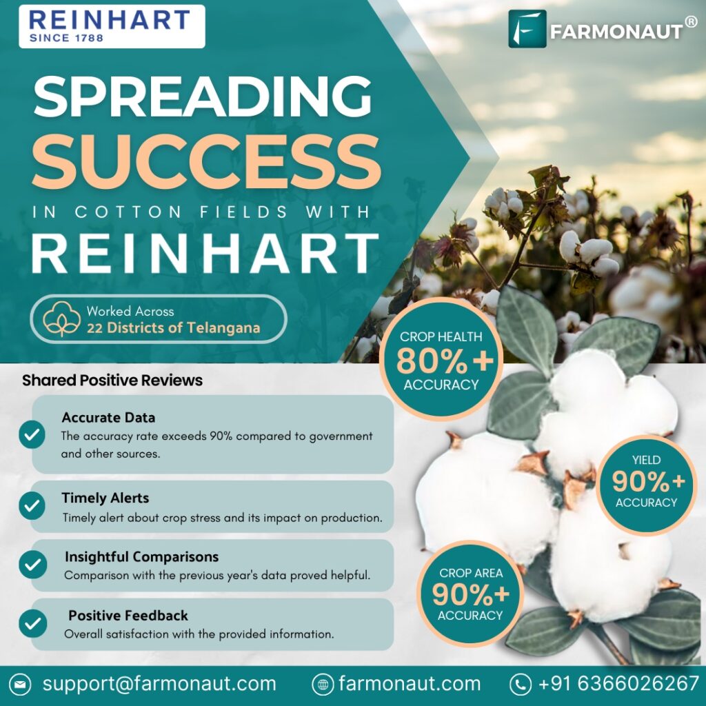
How Farmonaut’s Technology is Transforming Agriculture?

As a company that’s passionate about empowering farmers with technology,
Farmonaut is thrilled to receive positive feedback from farmers about the impact our
solutions have had on their lives. Farmonaut is especially grateful for the
recognition, received from ITC, a pioneering company in the agriculture industry.
Their feedback has been instrumental in validating the effectiveness of our
technology and motivating us to continue innovating. At Farmonaut, we’re
committed to empowering farmers with our technology and creating solutions that
can benefit the agriculture industry as a whole.

Revolutionizing Agriculture: A Comprehensive Guide to Farmonaut’s Web App for Crop Analytics and Satellite Monitoring

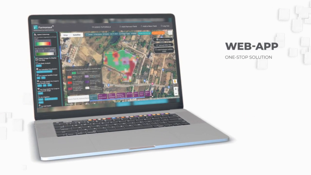
In today’s rapidly evolving agricultural landscape, farmers and agricultural companies are constantly seeking innovative ways to optimize crop yield, reduce losses, and make data-driven decisions. Enter Farmonaut’s powerful web application for satellite monitoring – a game-changing tool that’s transforming the way we approach farming and crop management.

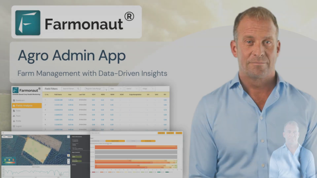
Revolutionizing Agriculture: Harnessing Artificial Intelligence Tools for Farming with Farmonaut Agro Admin App

In today’s rapidly evolving agricultural landscape, the integration of technology has become crucial for success. The Farmonaut Agro Admin App emerges as a game-changing solution, addressing the challenges faced in large-scale farm management, crop health optimization, and efficient task management. By leveraging artificial intelligence tools for farming, this innovative platform is transforming the way we approach agriculture. Let’s delve into the features and benefits of this revolutionary app that’s reshaping the future of farming.

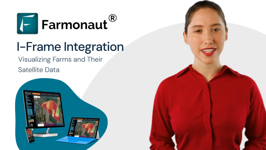
Revolutionizing AgTech: Visualizing Farms with Satellite Data using iFrame for API Users

In the rapidly evolving world of agriculture technology, the demand for innovative solutions is skyrocketing. An iOS app for the AgTech industry is becoming an essential tool for farmers, agronomists, and agribusinesses alike. This blog post will delve into the powerful world of visualizing farm data through satellite imagery and advanced visualization tools, with a focus on how these technologies can be integrated into iOS applications.

As the agriculture sector embraces digital transformation, the need for specialized iOS development firms for the agriculture technology industry has never been greater. These firms are at the forefront of creating cutting-edge applications that leverage satellite analysis and API integration to provide farmers with invaluable insights about their crops and land.

Revolutionizing Farm Management: Harnessing the Power of Satellite APIs Providers

In today’s rapidly evolving agricultural landscape, efficient farm management is crucial for success. As the demand for innovative solutions in the agriculture technology industry grows, web app developers for agriculture technology and iOS app developers for the agtech industry are turning to powerful tools like satellite APIs providers to revolutionize farm management practices. This blog post will explore how these APIs can streamline field and farm management, making it easier than ever for agtech professionals to optimize their operations.

Whether you’re an agtech iOS developer, part of an agriculture technology industry iOS development firm, or a web app developer for agriculture technology, understanding and implementing these APIs can significantly enhance your applications and services. Let’s dive into the world of satellite APIs providers and discover how they’re transforming the way we manage farms.

Mastering Satellite Imaging for Agriculture: A Complete Guide to iOS App Development for AgTech Industry

The agricultural technology (AgTech) industry is experiencing a revolution, with satellite imaging playing a pivotal role in transforming farming practices. For agriculture technology iOS development agencies and iOS development firms specializing in the agriculture technology industry, understanding and leveraging satellite data is crucial. This comprehensive guide will explore how to develop an iOS app for the AgTech industry that utilizes satellite imagery analysis to enhance farming analytics and decision-making.

Satellite imagery for agriculture provides invaluable insights into crop health, irrigation needs, and overall field conditions. By integrating this technology into iOS applications, developers can create powerful tools for farmers and agricultural managers to optimize their operations.

Revolutionizing Agriculture: The Power of Satellite-Based Crop Health Monitoring

In today’s rapidly evolving agricultural landscape, farmers and stakeholders worldwide are constantly seeking innovative solutions to reduce potential losses and optimize productivity. Enter the game-changing world of agriculture satellite monitoring and real-time agriculture satellite data. This agriculture information blog site is here to guide you through the transformative potential of cutting-edge technology in farming.

Enhancing Large-Scale Farm Management with Agricultural Monitoring Remote Sensing

In today’s rapidly evolving agricultural landscape, technology integration is crucial for success. As a leading provider of agricultural technology, Farmonaut introduces the Agro Admin App, a groundbreaking solution that addresses the challenges of large-scale farm management, crop health optimization, and efficient task management. This innovative platform leverages agricultural monitoring remote sensing to transform how farms operate and thrive.

Revolutionizing Agriculture: Harnessing the Power of APIs for Farm Data Retrieval

In today’s rapidly evolving agriculture technology industry, iOS development agencies are at the forefront of creating innovative solutions for farmers and agricultural consultants. One such groundbreaking development is the integration of APIs for efficient farm data retrieval. This blog post will guide you through the process of using these APIs to access crucial information about your farms, empowering you to make data-driven decisions and optimize your agricultural operations.

Revolutionizing Agriculture: How Farmonaut’s Remote Crop Monitoring Solutions are Transforming Farming

In the ever-evolving world of agriculture, remote agriculture monitoring solutions have become a game-changer for farmers and agricultural companies alike. One company at the forefront of this technological revolution is Farmonaut, an innovative agri-tech firm providing cutting-edge remote crop monitoring systems to help farmers across the globe maintain land sustainability and conserve soil fertility.

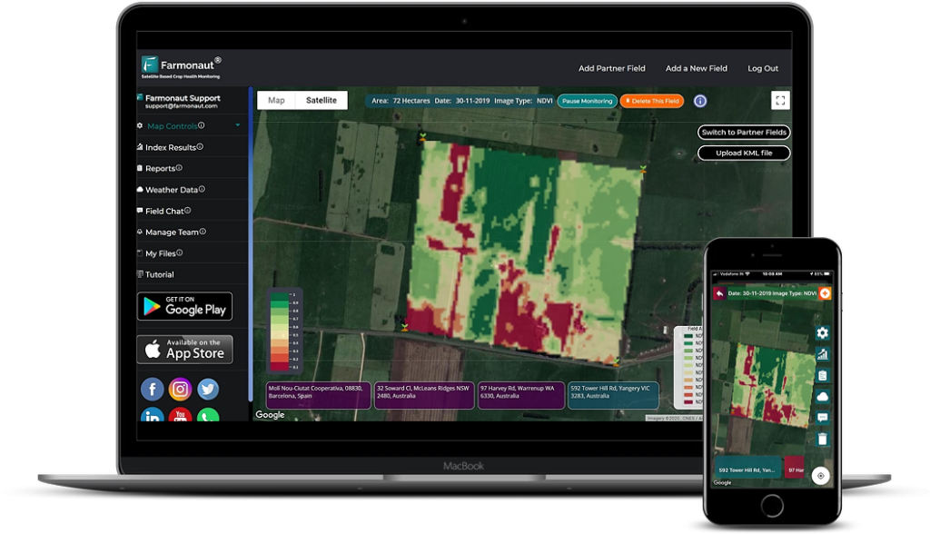
Revolutionizing Agriculture: A Comprehensive Guide to Farmonaut’s Satellite Monitoring Web App 🛰️🌾

In the ever-evolving world of agriculture, satellite technology in agriculture has emerged as a game-changing tool for farmers and agricultural professionals. Farmonaut’s web app for satellite monitoring is at the forefront of this revolution, offering a sophisticated platform that harnesses the power of satellite imagery in farming to provide comprehensive insights into field conditions. This article will delve into the features and benefits of Farmonaut’s web app, exploring how satellite images for agriculture are transforming the way we approach farming in the 21st century.

Transforming Farming: How Satellite Imagery is Redefining Crop Monitoring

In the ever-evolving world of agriculture, satellite imagery crop monitoring has emerged as a game-changing technology for farmers and agricultural professionals. This innovative approach to farm management leverages the power of satellite farms to provide unprecedented insights into crop health, soil conditions, and overall farm productivity. In this comprehensive guide, we’ll explore Farmonaut’s web app for satellite monitoring, a cutting-edge tool that’s transforming the way we approach satellite farming.

Mastering Agri Crop Health Management: A Step-by-Step Guide to Farmonaut’s Satellite Monitoring Web App

In the realm of modern agriculture, satellite-based monitoring has revolutionized the way farmers manage their crops. Farmonaut’s web app for satellite agricultural monitoring offers a comprehensive solution for agri crop health management, providing farmers with valuable insights and tools to optimize their farming practices. This tutorial will guide you through the key features and functionalities of Farmonaut’s satellite agriculture monitoring platform, empowering you to make data-driven decisions for your fields.

Revolutionizing Kansas Hay Farming with Farmonaut’s Satellite-AI Based Farm Intelligence

In the heart of America’s breadbasket, Kansas hay farmers face unique challenges that demand innovative solutions. Enter JEEVN AI, an groundbreaking farm intelligence system by Farmonaut Technologies that’s set to transform the landscape of hay production in the Sunflower State. This article explores how Farmonaut’s Satellite-AI Based Farm Intelligence is addressing the specific needs of Kansas hay farmers, offering a glimpse into the future of agriculture in this vital region.

Revolutionizing Kansas Sorghum Farming with Farmonaut’s Satellite-AI Based Farm Intelligence

In the heartland of America, Kansas sorghum farmers face unique challenges that demand innovative solutions. Enter JEEVN AI, an advanced farm intelligence system developed by Farmonaut Technologies. This cutting-edge tool is set to transform the landscape of sorghum farming in Kansas by harnessing the power of artificial intelligence and satellite technology.

Kansas, known for its vast sorghum fields that contribute significantly to the state’s agricultural economy, is poised to benefit greatly from Farmonaut’s Satellite-AI Based Farm Intelligence. With sorghum production averaging around 200 million bushels annually in Kansas, the potential impact of JEEVN AI on yield optimization and resource management is immense.

Revolutionizing Kansas Soybean Farming with Farmonaut’s Satellite-AI Based Farm Intelligence

In the heart of America’s breadbasket, Kansas soybean farmers face unique challenges that demand innovative solutions. Enter JEEVN AI, an advanced farm intelligence system developed by Farmonaut Technologies. This cutting-edge tool is poised to transform the landscape of soybean farming in Kansas, offering precision, efficiency, and data-driven insights that could significantly boost yields and sustainability.

Kansas, ranking 10th nationally in soybean production with over 4.7 million acres dedicated to the crop, stands to benefit immensely from the integration of Farmonaut’s Satellite-AI Based Farm Intelligence. JEEVN AI brings science and technology to the forefront of agricultural practices, eliminating guesswork and providing Kansas farmers with actionable insights tailored to their specific needs.

Revolutionizing Kansas Corn Farming with Farmonaut’s Satellite-AI Based Farm Intelligence

In the heartland of America, where corn fields stretch as far as the eye can see, Kansas farmers are facing unprecedented challenges. From unpredictable weather patterns to fluctuating market demands, the need for precision and efficiency in farming has never been greater. Enter JEEVN AI, an innovative solution by Farmonaut Technologies that’s set to revolutionize the way Kansas corn farmers approach their operations.

Revolutionizing Kansas Wheat Farming with Farmonaut’s Satellite-AI Based Farm Intelligence

in the heart of America’s breadbasket, Kansas wheat farmers face unique challenges that demand innovative solutions. Enter JEEVN AI, an advanced farm intelligence system by Farmonaut Technologies, designed to revolutionize agricultural practices in the Sunflower State and beyond. This cutting-edge tool harnesses the power of artificial intelligence to provide Kansas wheat farmers with precise, actionable insights that can significantly boost their farm’s productivity and sustainability.

Revolutionizing Arkansas Wheat Farming with Farmonaut’s Satellite-AI Based Farm Intelligence

In the heart of Arkansas, where wheat fields stretch as far as the eye can see, a new technological revolution is taking root. Farmonaut’s Satellite-AI Based Farm Intelligence, known as JEEVN AI, is transforming the landscape of agriculture in the Natural State. This innovative solution is set to address the unique challenges faced by Arkansas wheat farmers, offering precision, efficiency, and data-driven insights that promise to elevate crop yields and farm profitability.

Revolutionizing Arkansas Corn Farming: Farmonaut’s Satellite-AI Based Farm Intelligence

In the heart of the Natural State, where corn fields stretch as far as the eye can see, Arkansas farmers are facing new challenges in an ever-changing agricultural landscape. Enter JEEVN AI, an innovative solution by Farmonaut Technologies that’s set to revolutionize corn farming in Arkansas. This powerful tool harnesses the capabilities of artificial intelligence to provide farmers with precise, actionable insights, ensuring their farms thrive in an age where precision and efficiency are paramount.

Arkansas, known for its rich agricultural heritage, produced over 147 million bushels of corn in 2022. However, with increasing pressures from climate change, market fluctuations, and the need for sustainable practices, corn farmers in the state are seeking advanced solutions to maintain their competitive edge. JEEVN AI steps in to eliminate guesswork and bring science and technology to the forefront of agricultural practices in the Natural State.

Revolutionizing Arkansas Cotton Farming with Farmonaut’s Satellite-AI Based Farm Intelligence

In the heart of Arkansas, where cotton fields stretch as far as the eye can see, a new era of farming is dawning. Farmonaut’s Satellite-AI Based Farm Intelligence, known as JEEVN AI, is set to transform the way Arkansas cotton farmers approach their craft. This innovative solution promises to bring precision, efficiency, and data-driven decision-making to the forefront of agricultural practices in the Natural State.

Revolutionizing Arkansas Soybean Farming with Farmonaut’s Satellite-AI Based Farm Intelligence

In the heart of the Natural State, where soybeans reign as the top row crop, Arkansas farmers are constantly seeking ways to optimize their yields and overcome challenges. Enter JEEVN AI, an innovative solution by Farmonaut Technologies that’s set to transform the landscape of soybean farming in Arkansas. This cutting-edge tool harnesses the power of Farmonaut’s Satellite-AI Based Farm Intelligence to provide precise, actionable insights tailored to the unique needs of Arkansas soybean growers.

With Arkansas producing over 150 million bushels of soybeans annually across 3 million acres, the potential impact of JEEVN AI on the state’s agricultural economy is immense. This powerful AI system integrates satellite intelligence, local weather data, and farm-specific information to deliver recommendations that could help Arkansas farmers push their average yield of 50 bushels per acre to new heights.
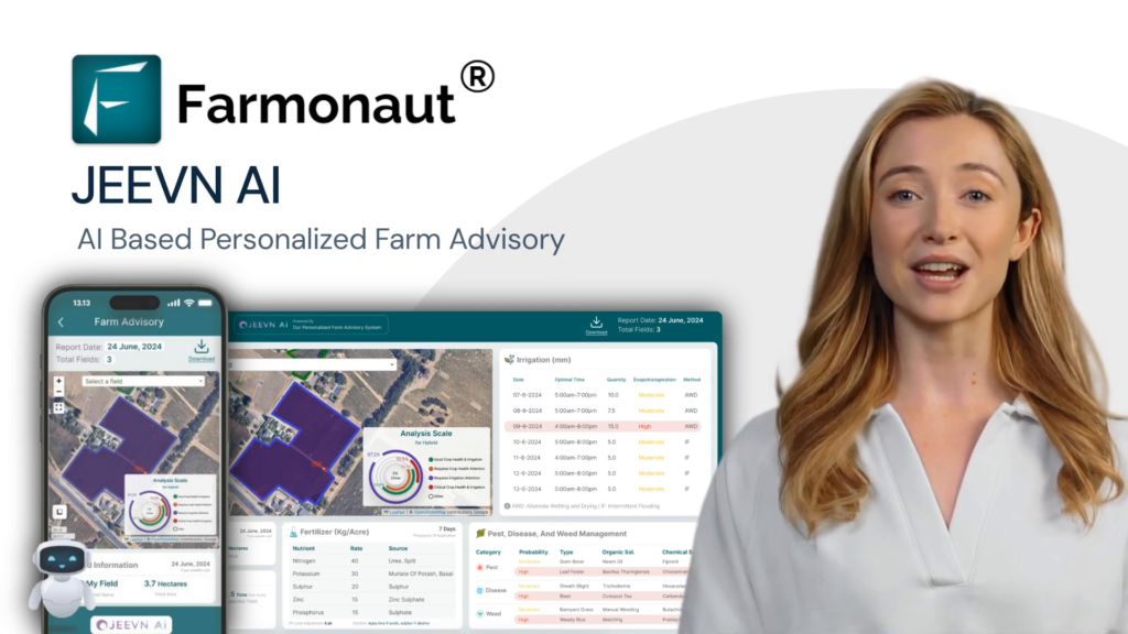
Revolutionizing Arkansas Rice Farming: Farmonaut’s Satellite-AI Based Farm Intelligence

In the heartland of American rice production, Arkansas farmers are constantly seeking ways to improve their yields and efficiency. Enter JEEVN AI, an innovative solution by Farmonaut Technologies that’s set to transform the rice farming landscape in the Natural State. This cutting-edge tool harnesses the power of artificial intelligence and satellite technology to provide Arkansas rice farmers with precise, actionable insights tailored to their specific needs.
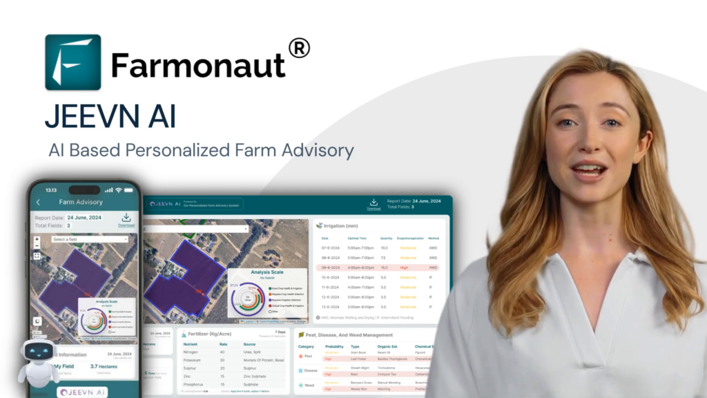
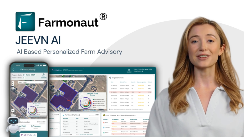
Arkansas, producing nearly 50% of U.S. rice, faces unique challenges in maintaining its agricultural dominance. JEEVN AI steps in to address these challenges head-on, offering a suite of features designed to optimize every aspect of rice cultivation in the region.

Revolutionizing Sorghum Farming in Colorado with Farmonaut’s Satellite-AI Based Farm Intelligence

In the vast plains of Colorado, where sorghum fields stretch as far as the eye can see, a new era of farming is dawning. Farmonaut Technologies introduces JEEVN AI, an innovative solution that promises to transform the agricultural landscape for sorghum farmers across the Centennial State. This cutting-edge tool harnesses the power of artificial intelligence and satellite technology to provide Colorado farmers with precise, actionable insights, ensuring their sorghum crops thrive in the unique climate and conditions of the region.

Colorado’s sorghum industry, which contributes significantly to the state’s agricultural output, faces unique challenges. With unpredictable weather patterns and the need for efficient water management in the semi-arid climate, Colorado sorghum farmers require specialized solutions. JEEVN AI steps in to address these specific needs, offering a tailored approach to sorghum cultivation that aligns with the state’s agricultural goals and environmental considerations.

Revolutionizing Colorado Potato Farming: Farmonaut’s Satellite-AI Based Farm Intelligence

In the vast agricultural landscape of Colorado, potato farmers are constantly seeking innovative ways to improve their yields and optimize their operations. Enter JEEVN AI, an groundbreaking solution by Farmonaut Technologies that’s set to transform the way Colorado’s potato industry approaches farming. This powerful tool harnesses the capabilities of artificial intelligence to provide farmers with precise, actionable insights that ensure their farms thrive in the unique climate and conditions of the Centennial State.

Colorado’s potato industry, valued at over $300 million annually, faces unique challenges due to the state’s diverse topography and climate variations. JEEVN AI steps in to eliminate guesswork and bring science and technology to the forefront of agricultural practices, addressing the specific needs of Colorado potato farmers.

Revolutionizing Colorado Wheat Farming: Farmonaut’s Satellite-AI Based Farm Intelligence

In the vast plains of Colorado, where wheat fields stretch as far as the eye can see, a new era of farming is dawning. Farmonaut Technologies introduces JEEVN AI, an innovative solution that promises to transform the landscape of wheat cultivation in the Centennial State. This cutting-edge tool harnesses the power of artificial intelligence to provide Colorado wheat farmers with precise, actionable insights, ensuring their farms thrive in an increasingly challenging agricultural environment.

Colorado, known for its high-quality hard red winter wheat, produces an average of 86 million bushels annually. However, farmers face numerous challenges, from unpredictable weather patterns to resource management. JEEVN AI steps in to eliminate guesswork and bring science and technology to the forefront of agricultural practices in this crucial wheat-producing region.

Revolutionizing Colorado’s Hay Farming: Farmonaut’s Satellite-AI Based Farm Intelligence

In the vast plains and mountainous regions of Colorado, hay farming plays a crucial role in the state’s agricultural landscape. As the industry faces challenges such as unpredictable weather patterns and resource management, Farmonaut Technologies introduces JEEVN AI, a cutting-edge solution designed to revolutionize farming practices. This Satellite-AI Based Farm Intelligence system is poised to transform the way Colorado’s hay farmers approach their operations.

JEEVN AI harnesses the power of artificial intelligence to provide Colorado hay farmers with precise, actionable insights that ensure their farms thrive in an increasingly competitive market. By eliminating guesswork and bringing science and technology to the forefront of agricultural practices, JEEVN AI addresses the unique challenges faced by hay farmers in the Centennial State.

Revolutionizing Colorado Corn Farming with Farmonaut’s Satellite-AI Based Farm Intelligence

In the vast cornfields of Colorado, where precision and efficiency are paramount, a new era of farming is dawning. Farmonaut’s Satellite-AI Based Farm Intelligence, known as JEEVN AI, is revolutionizing the way corn farmers approach their craft. This innovative solution is designed to eliminate guesswork and bring cutting-edge science and technology to the forefront of agricultural practices in the Centennial State.

Colorado’s corn industry, valued at over $600 million annually, faces unique challenges due to the state’s diverse topography and climate. JEEVN AI steps in as a powerful ally, harnessing the capabilities of artificial intelligence to provide Colorado corn farmers with precise, actionable insights that ensure their farms thrive in this competitive landscape.

Revolutionizing Texas Wheat Farming: Farmonaut’s Satellite-AI Based Farm Intelligence

In the vast expanse of Texas farmlands, where wheat fields stretch as far as the eye can see, a new technological revolution is taking root. Farmonaut’s Satellite-AI Based Farm Intelligence, known as JEEVN AI, is transforming the way Texas wheat farmers approach their craft. This innovative solution is designed to address the unique challenges faced by wheat producers in the Lone Star State, bringing precision and efficiency to the forefront of agricultural practices.

Texas, being the third-largest wheat-producing state in the U.S., with an average annual production of 89 million bushels, stands to benefit significantly from this cutting-edge technology. JEEVN AI harnesses the power of artificial intelligence to provide Texas wheat farmers with precise, actionable insights that ensure their farms thrive in the face of unpredictable weather patterns and market fluctuations.

Revolutionizing Texas Sorghum Farming with Farmonaut’s Satellite-AI Based Farm Intelligence

In the vast agricultural landscape of Texas, where sorghum reigns as a crucial crop, precision and efficiency are more important than ever. Enter JEEVN AI, an innovative solution by Farmonaut Technologies that’s set to transform the way Texan sorghum farmers approach their craft. This cutting-edge tool harnesses the power of Farmonaut’s Satellite-AI Based Farm Intelligence to provide farmers with precise, actionable insights, ensuring their farms thrive in the face of unique challenges.

Texas is the second-largest producer of sorghum in the United States, with over 1.9 million acres dedicated to this versatile crop. However, Texan sorghum farmers face numerous challenges, including unpredictable weather patterns, pest pressures, and the need for efficient resource management. JEEVN AI addresses these issues head-on, offering a comprehensive solution tailored to the specific needs of Texas sorghum production.

Revolutionizing Texas Corn Farming: Farmonaut’s Satellite-AI Based Farm Intelligence

In the heart of Texas, where corn fields stretch as far as the eye can see, a revolution is brewing. Farmonaut Technologies has introduced JEEVN AI, an innovative solution that promises to transform the landscape of corn farming in the Lone Star State. This powerful tool harnesses the capabilities of artificial intelligence to provide Texas corn farmers with precise, actionable insights that ensure their farms thrive in an age where precision and efficiency are paramount.

With Texas being the 12th largest corn-producing state in the U.S., contributing significantly to the nation’s corn production, the introduction of JEEVN AI couldn’t be more timely. This cutting-edge technology is set to address the unique challenges faced by Texas corn farmers, from unpredictable weather patterns to soil nutrient management and water conservation.

Revolutionizing Texas Hay Farming: Farmonaut’s Satellite-AI Based Farm Intelligence

In the vast expanses of Texas, where hay production is a cornerstone of agriculture, a new technological frontier is emerging. Farmonaut’s Satellite-AI Based Farm Intelligence, known as JEEVN AI, is set to transform the landscape of hay farming in the Lone Star State. This innovative solution addresses the unique challenges faced by Texas hay farmers, offering precision and efficiency in an industry where every blade of grass counts.

Texas, with its 1.3 million acres dedicated to hay production, stands to benefit significantly from this cutting-edge technology. JEEVN AI harnesses the power of artificial intelligence to provide Texas hay farmers with actionable insights, ensuring their operations thrive in the face of unpredictable weather patterns and market fluctuations.

Revolutionizing Texas Cotton Farming: Farmonaut’s Satellite-AI Based Farm Intelligence

In the vast expanse of Texas cotton fields, where precision and efficiency are paramount, a new technological marvel is set to transform the agricultural landscape. Farmonaut’s Satellite-AI Based Farm Intelligence, known as JEEVN AI, is stepping in to eliminate guesswork and bring cutting-edge science to the forefront of cotton farming practices in the Lone Star State.

Texas, the leading cotton-producing state in the U.S., faces unique challenges in maintaining its agricultural dominance. With unpredictable weather patterns, water scarcity, and the constant threat of pests, Texas cotton farmers need innovative solutions to stay ahead. JEEVN AI emerges as that solution, offering precise, actionable insights tailored to the specific needs of Texas cotton growers.

Revolutionizing Bell Pepper Farming in Florida with Farmonaut’s Satellite-AI Based Farm Intelligence

In the sun-soaked fields of Florida, where bell peppers thrive under the warm climate, a new technological revolution is taking root. Farmonaut’s Satellite-AI Based Farm Intelligence, known as JEEVN AI, is set to transform the way bell pepper farmers approach their craft. This innovative solution brings precision and efficiency to the forefront of agricultural practices, eliminating guesswork and integrating cutting-edge science into every aspect of farming.

Florida’s bell pepper industry, valued at over $235 million annually, faces unique challenges such as unpredictable weather patterns, pest pressures, and the need for efficient resource management. JEEVN AI addresses these issues head-on, offering tailored solutions that resonate with the specific needs of Florida’s bell pepper growers.

Revolutionizing Strawberry Farming in Florida with Farmonaut’s Satellite-AI Based Farm Intelligence

In the heart of Florida’s strawberry fields, a revolution is brewing. Farmonaut Technologies has introduced JEEVN AI, an innovative solution that promises to transform the landscape of strawberry farming in the Sunshine State. This cutting-edge tool harnesses the power of Farmonaut’s Satellite-AI Based Farm Intelligence to provide Florida’s strawberry farmers with precise, actionable insights that ensure their farms thrive in an increasingly competitive market.

Florida, known as the winter strawberry capital of the world, produces about 15% of the nation’s strawberries. With an industry valued at over $300 million annually, the stakes are high for Florida’s strawberry farmers. JEEVN AI steps in to eliminate guesswork and bring science and technology to the forefront of agricultural practices in this crucial sector.

Revolutionizing Sugarcane Farming in Florida with Farmonaut’s Satellite-AI Based Farm Intelligence

In the heart of Florida’s agricultural landscape, where sugarcane fields stretch as far as the eye can see, a revolutionary technology is taking root. Farmonaut’s Satellite-AI Based Farm Intelligence, known as JEEVN AI, is set to transform the way Florida’s sugarcane farmers approach their craft. This innovative solution comes at a crucial time for the Sunshine State’s sugar industry, which produces over 50% of the nation’s cane sugar and contributes significantly to the state’s economy.

JEEVN AI harnesses the power of artificial intelligence and satellite technology to provide Florida’s sugarcane farmers with precise, actionable insights. In an industry where efficiency and productivity are paramount, this tool eliminates guesswork and brings cutting-edge science to the forefront of agricultural practices.

Revolutionizing Florida’s Tomato Farming: Farmonaut’s Satellite-AI Based Farm Intelligence

In the heart of Florida’s agricultural landscape, tomato farmers face unique challenges that demand innovative solutions. Enter JEEVN AI, an groundbreaking farm intelligence system developed by Farmonaut Technologies. This cutting-edge tool is set to transform the way Florida’s tomato industry operates, bringing precision and efficiency to the forefront of agricultural practices.

Florida, known as the Sunshine State, is a major player in the U.S. tomato industry. With over 30,000 acres dedicated to tomato cultivation, the state produces nearly 40% of the nation’s fresh-market tomatoes. However, Florida tomato farmers grapple with issues such as pest pressure, water management, and soil health. JEEVN AI addresses these challenges head-on, offering a comprehensive solution tailored to the specific needs of Florida’s tomato growers.

Revolutionizing Florida’s Orange Groves: Farmonaut’s Satellite-AI Based Farm Intelligence

In the heart of the Sunshine State, where orange groves stretch as far as the eye can see, a technological revolution is taking root. Farmonaut Technologies introduces JEEVN AI, an innovative solution poised to transform the landscape of Florida’s citrus industry. This cutting-edge tool harnesses the power of artificial intelligence to provide orange farmers with precise, actionable insights, ensuring their groves not only survive but thrive in an era where precision and efficiency are paramount.

Florida’s citrus industry, valued at over $6.5 billion annually, has faced numerous challenges in recent years, from citrus greening disease to unpredictable weather patterns. JEEVN AI steps in as a beacon of hope, offering a scientific approach to combat these issues and optimize orange production across the state.

Revolutionizing Delaware Wheat Farming: Farmonaut’s Satellite-AI Based Farm Intelligence

In the heart of Delaware’s agricultural landscape, where precision and efficiency are paramount, a groundbreaking solution is emerging to transform the way wheat farmers operate. Farmonaut’s Satellite-AI Based Farm Intelligence, known as JEEVN AI, is stepping in to eliminate guesswork and bring cutting-edge science and technology to the forefront of agricultural practices in the First State.

Revolutionizing Delaware Corn Farming: Farmonaut’s Satellite-AI Based Farm Intelligence

In the heart of Delaware, where corn fields stretch as far as the eye can see, a new era of farming is dawning. Farmonaut’s Satellite-AI Based Farm Intelligence, known as JEEVN AI, is set to transform the agricultural landscape of the First State. This innovative solution promises to bring precision, efficiency, and data-driven decision-making to Delaware’s corn farmers, addressing the unique challenges they face in this region.

Revolutionizing Indiana Wheat Farming: Farmonaut’s Satellite-AI Based Farm Intelligence

In the heartland of America, Indiana’s wheat farmers face unique challenges in their quest for agricultural excellence. As the state’s wheat production continues to play a crucial role in the national economy, innovative solutions are needed to maintain Indiana’s competitive edge. Enter JEEVN AI, an groundbreaking farm intelligence system by Farmonaut Technologies, poised to transform the landscape of wheat farming in the Hoosier State.

Revolutionizing California Walnut Farming with Farmonaut’s Satellite-AI Based Farm Intelligence

In the heart of California’s agricultural landscape, walnut farmers face unique challenges that demand innovative solutions. Enter JEEVN AI, an advanced farm intelligence system by Farmonaut Technologies, poised to transform the way California’s walnut orchards are managed and cultivated. This cutting-edge tool harnesses the power of artificial intelligence and satellite technology to provide precise, actionable insights tailored specifically to the needs of walnut growers in the Golden State.

Revolutionizing California’s Strawberry Farming with Farmonaut’s Satellite-AI Based Farm Intelligence

In the heart of California’s agricultural landscape, where strawberry fields stretch as far as the eye can see, a new era of farming is dawning. Farmonaut’s Satellite-AI Based Farm Intelligence, known as JEEVN AI, is set to transform the way California’s strawberry farmers approach their craft. This innovative solution brings precision, efficiency, and data-driven decision-making to the forefront of agricultural practices in the Golden State.

Revolutionizing Arizona Broccoli Farming: Farmonaut’s Satellite-AI Based Farm Intelligence

In the sun-drenched fields of Arizona, where broccoli farming is a significant contributor to the state’s agricultural economy, precision and efficiency are paramount. Enter JEEVN AI, an innovative solution by Farmonaut Technologies that’s set to transform the landscape of broccoli cultivation in the Grand Canyon State. This powerful tool harnesses the capabilities of artificial intelligence to provide Arizona’s broccoli farmers with precise, actionable insights that ensure their farms thrive in the challenging desert climate.

Revolutionizing Arizona Citrus Farming with Farmonaut’s Satellite-AI Based Farm Intelligence

In the sun-drenched orchards of Arizona, where citrus farming is a cornerstone of the agricultural economy, a new era of precision and efficiency is dawning. Farmonaut’s Satellite-AI Based Farm Intelligence, known as JEEVN AI, is stepping in to transform the way citrus farmers approach their craft. This innovative solution is poised to address the unique challenges faced by Arizona’s citrus industry, which contributes significantly to the state’s $23.3 billion agricultural sector.

Revolutionizing Arizona’s Hay Farming: Farmonaut’s Satellite-AI Based Farm Intelligence

In the sun-drenched fields of Arizona, where hay production is a crucial agricultural activity, a new era of farming is dawning. Farmonaut Technologies introduces JEEVN AI, an innovative solution that promises to transform the landscape of hay farming in the Grand Canyon State. This cutting-edge tool harnesses the power of artificial intelligence to provide Arizona hay farmers with precise, actionable insights, ensuring their farms thrive in an increasingly challenging climate.

Revolutionizing Arizona Lettuce Farming: Farmonaut’s Satellite-AI Based Farm Intelligence

In the sun-drenched fields of Arizona, where lettuce farming is a cornerstone of the agricultural economy, a new era of precision and efficiency is dawning. Farmonaut’s Satellite-AI Based Farm Intelligence, known as JEEVN AI, is poised to transform the way Arizona’s lettuce farmers approach their craft. This innovative solution brings cutting-edge technology to the forefront of agricultural practices, offering a beacon of hope for an industry facing increasing challenges.

Revolutionizing Alabama Wheat Farming: Farmonaut’s Satellite-AI Based Farm Intelligence

In the heart of Alabama’s agricultural landscape, where wheat fields stretch as far as the eye can see, a technological revolution is taking root. Farmonaut’s Satellite-AI Based Farm Intelligence, known as JEEVN AI, is transforming the way Alabama wheat farmers approach their craft. This innovative solution is designed to bring precision, efficiency, and data-driven decision-making to the forefront of agricultural practices in the Yellowhammer State.

Revolutionizing Alabama Soybean Farming: Farmonaut’s Satellite-AI Based Farm Intelligence

In the heart of Alabama’s agricultural landscape, soybean farmers are facing new challenges and opportunities. With the introduction of JEEVN AI, an innovative solution by Farmonaut Technologies, the future of farming in the Yellowhammer State is looking brighter than ever. This cutting-edge tool is set to transform the way Alabama’s soybean farmers approach their craft, bringing precision and efficiency to the forefront of agricultural practices.

Revolutionizing Alabama Corn Farming with Farmonaut’s Satellite-AI Based Farm Intelligence

In the heart of Alabama’s agricultural landscape, corn farmers are facing unprecedented challenges. From unpredictable weather patterns to evolving pest pressures, the need for precision and efficiency in farming has never been more critical. Enter JEEVN AI, an innovative solution by Farmonaut Technologies that’s set to transform the way Alabama’s corn farmers approach their craft.

Revolutionizing Alabama’s Peanut Farming: Farmonaut’s Satellite-AI Based Farm Intelligence

In the heart of Alabama’s peanut country, where tradition meets innovation, a new era of farming is dawning. Farmonaut’s Satellite-AI Based Farm Intelligence, known as JEEVN AI, is set to transform the way Alabama’s peanut farmers approach their craft. This cutting-edge technology promises to bring precision, efficiency, and data-driven decision-making to the forefront of agricultural practices in the Yellowhammer State.

Revolutionizing Alabama Cotton Farming with Farmonaut Satellite-AI Based Farm Intelligence

In the heart of Alabama’s agricultural landscape, cotton farmers are facing new challenges and opportunities. With the introduction of JEEVN AI by Farmonaut Technologies, the future of farming is knocking on the doors of the Yellowhammer State. This innovative Farmonaut Satellite-AI Based Farm Intelligence system is set to transform the way Alabama’s cotton farmers approach their craft, bringing precision and efficiency to the forefront of agricultural practices.

🍇 Transforming California’s Vineyards with JEEVN AI by Farmonaut

Welcome, California vintners! From the fog-kissed valleys of Sonoma to the sun-drenched hills of Paso Robles, our Golden State is a viticultural paradise. With over 635,000 acres of wine grapes and more than 4,700 wineries, California isn’t just leading the U.S. wine industry – we’re shaping global wine trends. But as any seasoned vintner knows, our success comes with unique challenges. Today, we’re introducing JEEVN AI, an innovative solution by Farmonaut Technologies that’s set to transform how we nurture our precious vines and continue our legacy of world-class winemaking.

Black Citrus Aphid

Black Citrus Aphid Toxoptera aurantii Caused by insect  Factors –  a- Distortions of twigs and inflorescences and curling, rolling or folding of leaves. b- Leaves turn black in presence of honeydew that is readily colonizes by sooty mold. c- Downgraded quality of fruits and poor vigor in trees. d- Tristeza virus is a possible infection. Hosting body – Citrus and Mango https://indoorgardenook.com/how-to-get-rid-of-bugs-on-indoor-plants/ Identifiable traits It affects all citrus trees in all growth stages. The aphids have long piercing mouthparts which they use to suck the sap on shoot tips and young leaves, which leads to distortions of twigs and inflorescences and the curling, rolling or folding of leaves. They feed on sweet plant phloem, they excrete excess sugar in the form of honeydew. When this honeydew falls onto the leaves, it readily colonized by sooty mold fungi which make the leaves turn black. In result, this limits photosynthesis and has consequences on the vigor of the tree and the quality of the fruits. Tristeza virus is other causing factor which causes damage to citrus trees, which aphids carry. Inducing factors Symptoms are caused by the adults and nymphs of the black citrus aphid Toxoptera aurantii. They often co-infect citrus trees and other cultures together with another related species of aphid T. citicida, commonly known as brown citrus aphid. Adult aphids exist in two forms, either with or without wings. Winged aphids can fly a distance of up to 30 km and are found when they become too numerous or when food supply reduces or becomes limited. They have a dull brownish to black body with a length of about 1.5 mm. These black citrus aphids have a simple life cycle and a high reproduction rate that can lead to rapid and severe infestations. Favourable temperature range for development, survival and reproduction varies from 9.4 to 30.4 ˚C. The honeydew attracts ants, which in turn protect the aphids from natural predators. They are considered a vector of the Tristeza disease of citrus and the zucchini yellow mosaic virus.   Organic remedies Predators include many species of hoverflies, lacewings and ladybirds that can attack aphids at all stages of development. Two commonly used coccinellids against this pest are adults and larvae of Cycloneda sanguinea and Hippodamia convergens. Some culture-specific parasitic wasps may also be available for citrus in the area of interest. The fungus Neozygites fresensii can be important check on aphid populations during humid weather. Ants can be killed with boiling water or with solutions containing natural pyrethrins. Insecticidial solutions can also be used against aphids, for example solutions based on soap, detergent soap, neem or chilli extracts. Chemical remedies If available, always consider an integrated approach with preventive measures together with biological treatments. Several insecticides can be used to control aphids but their effectiveness depends on a timely application, for example before the leaves curl or populations become too large. Commercial products containing petroleum oil can be sprayed on the underside of leaves, so that they directly contact the aphids. Synthetic pyrethroids are also likely to be effective against aphids and ants, but can have a negative impact on natural enemies, too.  Extra remediesSelect seeds from healthy plants or from certified sources. If possible, plant in an area free of this pest, and isolated geographically. Keep monitoring fields regularly to assess the incidence of a disease or pest and determine their severity. Remove infected plant parts or hand-pick the aphids manually. Check weeds in and around the fields. Do not over-water or over-fertilize. Control ant populations that protect aphids with sticky bands or nets. Do not transport citrus trees between different farms or areas. Control the use of pesticides, as those can affect negatively the populations of beneficial insects. Prune the branches of your trees or remove the bottom leaves or your plants to favour the ventilation of the canopy. We will keep posting about any such informative information on to our blogs, to help as many people as possible. Farmonaut is built upon a vision to bridge the technological gap between farmers and strives to bring state-of-the-art technologies in the hands of each and every farmer. For any queries/suggestions, please contact us at [email protected]. We have some more interesting articles coming up soon. Stay tuned! Wait!!

Research Collaboration with Chippy Pushpangathan on a DST funded project in Precision Agriculture

v Research Collaboration with Chippy Pushpangathan on a DST funded project in Precision Agriculture At Farmonaut, we believe if any research is being conducted for the benefit of the farming community, we must stand together to make it’s benefits reach to as many farmers as possible. And, we are always delighted to work with researchers to help the farming community with providing the latest technologies. One such latest collaboration which we feel is going to contribute to the farming community is with Chippy Pushpangathan. Chippy Pushpangathan is a Research Scholar and is pursuing her PhD at the Department of Geography, School of Earth Sciences, Central University of Karnataka. Her broad area of research covers crop yield modelling using geospatial technology. Her research topic is broadly centered around:  “Potential of Precision Agriculture Using Geospatial Information For Kharif Cultivation in Kalaburagi District, Karnataka, India” The research work is a crop centric work wherein the main focus will be towards identifying the potential of precision agriculture using geospatial information (more specifically the possibility of microwave remote sensing) for rain-fed pigeon pea (Kharif Tur Dal).  The research work will focus on the farming land in and around Kalaburagi district and will focus on Tur Dal of this Kharif season of 2019 (June to November). This research work is funded by the Department of Science and Technology (DST, Govt. of India) under INSPIRE Scheme.   Chippy aspires to make her research outcomes to reach the ground level farming community, hence this collaboration serves the common objective of both her and Farmonaut. Before the actual field work starts in June 2019, our combined objective is to ideate and gather kalaburagi district centric useful information as well as identifying the further technological needs which Farmonaut may be able to provide depending upon the feasibility (apart from our already publicly usable systems) once the actual work starts. At Farmonaut, we believe that by combining the on-field research study conducted by Chippy Pushpangathan when combined with technological tools provided by Farmonaut as well the access to the growing farming community of Farmonaut, the entire research will surely provide a better insight to the farmers of Kalaburagi district and possibly the research work will be replicable to other parts of the country as well. In the coming months, we will keep updating everyone of the progress of the ongoing research collaboration on atleast a monthly basis. Farmonaut currently provides two satellite imagery based products, namely: Satellite Based Crop Health Monitoring System For Farmers (Android): Farmonaut provides satellite based crop health monitoring system, through which farmers can select their field and identify the regions of the field at which the crop growth is not normal. Upon identifying that region of their fields, they can simply pay a visit to that part of the field and identify if the problem has already started. If it has not, the farmer can take preventive remedies by applying more fertilizers, plant growth regulators etc. If the problem has already started, they can simply explain their problem to Farmonaut’s crop issue identification system and get real-time govt. approved remedies.   Satellite Imagery Access For Research System (Android and Website) For research purposes (non-farming usage), Farmonaut provides access to satellite imagery of any place around the through our website and android app. The satellite imagery is provided at the cheapest market rates. Accessing satellite imagery through our website is a fairly simple process:   Step 1:  Select the date range (From and To Date) Step 2: Select Imagery bands required (You can select from 13 raw bands and 7 Farmonaut Processed bands) Step 3: Select the area on the Map for which you are requesting the imagery for. Step 4: Submit this request… wait for a few seconds Step 5: Select specific days for which you need the imagery for. Step 6: Make payment and voila! You will receive the imagery automatically into your email address within the displayed time interval. The app is available for android on Google PlayStore:  https://play.google.com/store/apps/details?id=com.farmonaut.android We will keep posting about any such informative information on to our blogs, to help as many people as possible. Farmonaut is built upon a vision to bridge the technological gap between farmers and strives to bring state-of-the-art technologies in the hands of each and every farmer. For any queries/suggestions, please contact us at [email protected]. We have some more interesting articles coming up soon. Stay tuned! Wait!!

American Bollworm

American Bollworm American bollworm has been identified to attack more than 180 host plants. These host plants include beans, maize, tomato, legumes etc. It has caused so much damage to the fields and has developed resistance to so many insectides that it has been popularly given the name of a global pest. In the moth phase they are brownish yellow in color with a black spot on the fore wings and a broad black patch on the margin of the hind wing. Larvae are green when they are young and their color varies when the larvae grows in size. The eggs are laid only singly on the leaves and are white in color. They hatch in a time span of 3 to 4 days. The new larvae feed on the leaves after hatching and attach the near by bolls by keeping half of the body inside the bolls and half of its body outside. The larval period is of around 25 days long whereas the pupal period is around 10 days long.  Some of the damage symptoms are as follows: The squares which are affected by the American bollworm shows flaring up with its brackets spread out. Holes can be seen on the squares by the internal tissues which are being fed by the larval and hollowed by it. We will keep posting about any such informative information on to our blogs, to help as many people as possible. Farmonaut is built upon a vision to bridge the technological gap between farmers and strives to bring state-of-the-art technologies in the hands of each and every farmer. For any queries/suggestions, please contact us at [email protected]. We have some more interesting articles coming up soon. Stay tuned! Wait!!

Voice-Text Based Crop Issue Identification

Voice-Text Based Crop Issue Identification In India, several thousand tonnes of crop gets destroyed every year due to incorrect usage of pesticides, insecticides, plant growth regulators etc. Whenever there is a disease outbreak in a farmer’s field, the first person whom they usually look forward to is the local vendor from whom they purchase their farming products like seeds, spraying equipments etc. In India, officially you need to have at least a certain relevant degree before you can start your own fertilizer shop. However, these norms are hardly practiced. These local vendors have their own interest in mind, since they need to sell the products of the companies from whom they purchase the chemicals in bulk.  Thus, more often than not, with no practical scientific knowledge, they end up suggesting completely incorrect solutions to the farmer. One of the major aims of Farmonaut is to help farmers figure out what the problem is with their crop, and also provide government approved solutions for the problems identified by our system. Though the government has released a scientifically approved database, however the database is highly user inaccessible. The government database is in the form of document file of hundreds of pages. It is really unreasonable to expect a farmer to download this large document and scroll through hundreds of pages to identify what the potential problem is with their crop. At Farmonaut, the first thing we did is to sanitize this government approved database, and present it to the farmers in a user-friendly form. The segregated database is accessible through our android app and contains government approved information about 100+ crops, 300+ problems and 150+ chemicals (pesticides, insecticides, plant growth regulators etc.). The database includes very specific details of chemical usage such as Quantity, Formulation (g/ml)% and Dilution in water (L). Read the following article to know in-depth about the Farmonaut Database: https://farmonaut.com/blogs/farming-blogs/why-farmonaut-database-is-one-of-the-most-trusted-database/ At Farmonaut, we jumped one step ahead and added another layer of user friendliness to access our database. We have designed a system which is capable of identifying potential problems with a farmer’s crop by just their voice or text explanation. The voice-text based crop issue identification system is available on our Android app. A farmer can simply explain what issues he/she is facing with his crop and our system in real-time will identify the potential problem with the crop as well as the government approved solutions attached with the results as well. Given the vastness of India and a large number of languages being spoken in the Indian subcontinent, we can not expect our system to work only in one specific language. Hence, we have created our system to work in more than 50 languages. The farmers can ask their problems in a language of their choice and can still get government approved solutions in real time. The following section below shows a few examples of how Farmonaut’s voice-text based crop issue identification system works. The Voice-text based crop issue identification system works as a chat bot, wherein farmers can ask for the solution to their problems just like someone will message another user on a messaging service. The farmer can simply type their query into the text box or can speak about their query by clicking on the speech button. Once the speech of the farmer is finished or if farmer clicks on the send button after his text information about the problem is ready, the system will process their speech/text to identify the crop as well the problem being faced by the farmer. Upon correct identification of the problem, the system will return all the government approved solutions from which the farmer can select one of his choice. For example, in the case above, the Farmer has asked in hindi the following query: Asked Query: आम की फसल की उपज बढ़ाने के कुछ उपाय बताइये| अभी एकदम नयी फसल है| Our system identifies within seconds that the user is looking for ways to enhance yield of their mango crop and hence, provides all the government approved solutions to the user about chemicals measures to be used to enhance the yield of his/her mango produce. Some other examples of the Voice-text Based Crop Issue Identification queries are listed below. There may be times when the voice-text based crop issue identification system is not able to identify the problem properly. There are 4 such cases which we want to highlight. Case 1: When our system has correctly identified the crop as well as the problem being faced by the crop, the system still gives the farmer an option to post his query on to the discussion forum to further proof check about his problem from the community. Case 2:  When our system has correctly identified the crop of the query but not problem, the farmer can post this unsuccessful query onto the discussion forum to get remedies from the farming community itself. Case 3: When our system has not been able to identify both crop as well as the problem, and if the farmer feels that his/her query was correct, they can post this voice-text crop issue identification query on to the discussion forum to get remedies from the farming community. A detailed article about the discussion forum and Farmonaut database will be available soon. The app is available for android on Google PlayStore:  https://play.google.com/store/apps/details?id=com.farmonaut.android We will keep posting about any such informative information on to our blogs, to help as many people as possible. Farmonaut is built upon a vision to bridge the technological gap between farmers and strives to bring state-of-the-art technologies in the hands of each and every farmer. For any queries/suggestions, please contact us at [email protected]. We have some more interesting articles coming up soon. Stay tuned! Wait!!

Normalized Difference Vegetation Index – NDVI

Normalized Difference Vegetation Index – NDVI It has been quite a long time since scientists and agronomists are using Normalized Difference Vegetation Index (NDVI) to monitor and examine health of crops. The extent and benefits of NDVI have increased manifold with so many earth mapping satellites being launched every year to monitor earth’s surface in different wavelengths. To calculated NDVI index, we need imagery from two different wavelengths, namely Near Infrared and Red band imagery. And the NDVI ratio is calculated as: NDVI = (NIR – RED)/(NIR + RED) From this formula, it is apparent that the density of vegetation (NDVI) at a given point in the generated image is equal to the difference in the intensities of reflected light in the red and infrared range divided by the sum of these two intensities. The value of the NDVI index can range from -1.0 to 1.0.  The negative NDVI values are mainly due to clouds, snow and water.  The values of NDVI close to zero are mainly due to rocks and bare soil.  NDVI values ranging from 0 to 0.1 correspond to sand, snow or empty areas of rocks.  NDVI values ranging from 0.2 to 0.3 represent shrubs and meadows, and NDVI values ranging from 0.6 to 0.8 indicate tropical and temperate forests. In simple words, NDVI measures status of plant health based on how plants reflect light at certain frequencies. Though we cannot perceive it with our eyes, everything around us (including plants) reflect wavelengths of light in visible and non-visible spectrum. Taking into account how much amount of a certain wavelength is reflected, we can access the current status of plants.  We know that plants have chlorophyll which absorb sunlight for photosynthesis .Chlorophyll immensely absorbs visible light (0.4 to 0.7 microns) for photosynthesis, whereas structure of cells of leaves immensely reflect near-infrared light (0.7 to 1.1 microns). If a plant is healthy, it will have large amount of chlorophyll on it’s leaves and will absorb good amount of visible light from 0.4 to 0.7 microns and reflect quite less of it and vice-versa.  Farmonaut’s Crop Health Monitoring system is provided to farmers and monitors how much sunlight is reflected by the plants. We take into account this basic principle in identifying crop health status of an agricultural land. For research purposes (non-farming usage), Farmonaut provides access to satellite imagery of any place around the through our android app. For agricultural purposes, Farmonaut provides satellite based crop health monitoring system on our android app, through which farmers can select their field and identify the regions of the field at which the crop growth is not normal. Upon identifying that region of their fields, they can simply pay a visit to that part of the field and identify if the problem has already started. If it has not, the farmer can take preventive remedies by applying more fertilizers, plant growth regulators etc. If the problem has already started, they can simply explain their problem to Farmonaut’s crop issue identification system and get real-time govt. approved remedies. The satellite imagery is updated every 2-5 days and has a resolution of 10 meters which is 2 times better than google maps in rural India. The app is available at: https://farmonaut.com/app_redirect We will keep posting about any such informative information on to our blogs, to help as many people as possible. Farmonaut is built upon a vision to bridge the technological gap between farmers and strives to bring state-of-the-art technologies in the hands of each and every farmer. For any queries/suggestions, please contact us at [email protected]. We have some more interesting articles coming up soon. Stay tuned! Wait!!

Aphids

Aphids Aphids basically belong to Aphidoidea Family. They are small sap-sucking  insects like greenfly and blackfly.  However, they are not harmful to crops in early stage or in small or moderate numbers. Aphid’s infest severe damage to leaves and shoots and also causes damage to plant growth. Lorem ipsum dolor sit amet, consectetur adipiscing elit. Ut elit tellus, luctus nec ullamcorper mattis, pulvinar dapibus leo. They bring additional infections as their honeydew secrete and also transmit viruses from one plant to another over a prolonged period. Hosts: Aphids has a vast list of plants which it affects. Few of them are Almond, apple, cabbage, cotton, garlic, grape, lettuce, maize, mango, millet etc. They are very small in size (0.5 mm to 2 mm) and delicate bodied insects with long legs and antennae. They are found in multiple colours like brown, yellow, red or black depending on which species they belong to. They grow underside clusters of young leaves and shoot tips. They suck out fluids from the tissues with the help of their long mouth parts to tender them.  In late spring or early summer, their invasion slows down as their population diminishes naturally due to climate change and increase in natural enemies. Several other species carry plant viruses which can lead to the development of other forms of diseases. Biological remedies Few predators are there which can help in controlling the population of aphids are ladybugs, lacewings, soldier beetles and parasitoid wasps. These natural killers of aphids will take care of the sucking insects in field conditions. You can use soft insecticidal soap solution or solutions depending on plant oils in case of mild infestation. Aphids are very sensitive to fungal diseases when it is humid around them. A simple spray of water can remove them from infected plants.   Chemical methods of control Always try to consider biological treatments if available instead of approaching for chemical solutions straightaway. Stem application with flonicamid and water @ 1:20 ratio at 30, 45, 60 days after sowing (DAS) can be planned.   Fipronil 2ml or thiamethoxam @ 0.2g or flonicamid @ 0.3g or acetamiprid @ 0.2g (per liter of water) can also be used as chemical composition in prevention against aphids. We will keep posting about any such informative information on to our blogs, to help as many people as possible. Farmonaut is built upon a vision to bridge the technological gap between farmers and strives to bring state-of-the-art technologies in the hands of each and every farmer. For any queries/suggestions, please contact us at [email protected]. We have some more interesting articles coming up soon. Stay tuned! Wait!!

Remote Sensing Blogs

Remote Sensing Blogs Normalized Difference Vegetation Index – NDVI It has been quite a long time since scientists and agronomists are using Normalized Difference Vegetation Index (NDVI) to monitor and examine health of crops. The extent and benefits of NDVI have increased manifold with so many earth mapping satellites being launched every year to monitor earth’s surface in different wavelengths. Applications of Satellite Imagery Bands - Part 1: Coastal Aerosol (B1), Blue (B2), Green (B3), and Red (B4) Since water absorbs and scatters light, oceans and lakes tend to look dark or lack detail on True color satellite images, especially in the murky waters near coastlines. Coastal Aerosol (B1) imagery allows for coastal water and ocean color observation, as it reflects blues and violets, and displays subtle differences in the color of water. Read More… Applications of Satellite Imagery Bands — Part 2: Vegetation Red Edge (B5, B6, B7, B8A) The Red Edge band is located between the Red band (B4) and the NIR band (B8), without overlap. In a typical spectral response of green vegetation, the Red Edge band covers the portion of the spectrum where reflectance drastically increases from the red towards the NIR regions. Read More… Applications of Satellite Imagery Bands — Part 3: Near Infrared (B8), Water Vapor (B9), and Shortwave Infrared (B10, B11, B12) Near Infrared images can help us identify and monitor a plant’s health. At Farmonaut, we have developed our own Crop Health Monitoring system which processes Near Infrared Imagery in combination with several other spectral images to provide a health color-map of an agricultural land. Read More… Impact Analysis of Volcano-Induced-Tsunami in Indonesia Using Farmonaut​ A tsunami swept across Indonesia’s islands of Sumatra and Java the night of December 22, just before 9:30 p.m. local time. There was no notice for the wall of water, which left devastation in its wake. At least 400 are confirmed to be dead and more than 800 are injured. Because of such a large impact of this event, we wanted to analyze the extent of devastation in the coastal region of the affected areas. Read More… Analyzing Water Level of Lakes of Udaipur (India) Using Farmonaut To understand how the condition of lakes change over a course of a year, we shifted our focus to some of the famous lakes in India. Udaipur is known for its beautiful lakes, so we decided to analyze four famous lakes of udaipur, namely: Dudh Talai, Lake Pichola, Swaroop Sagar and, Fateh Sagar Lake. Read More… Mapping Volcanic Activity Using Farmonaut​ We mapped Mount Veniaminof’s volcanic activity using the short wave infrared satellite imagery accessed through our system. Recently, Mount Veniaminof had been in the news for it’s extreme volcanic activity wherein it ended up spewing ash as high as three miles in the air. The activity was so intense, that the region near it was declared as a no-fly zone. Read More… Time Lapse of Californian Fire The spread and extent of fire in California is massive and devastating. So, we decide to have a look on the imagery of the last month. The spread and extent of fire in California is massive and devastating. So, we decide to have a look on the imagery of the last month over a region in California and have created a Time Lapse of the same. Read More… Satellite Based Crop Health Monitoring Farmonaut provides satellite based crop health monitoring system, through which farmers can select their field and identify the regions of the field at which the crop growth is not normal. Upon identifying that region of their fields, they can simply pay a visit to that part of the field and identify if the problem has already started. If it has not, the farmer can take preventive remedies by applying more fertilizers, plant growth regulators etc. If the problem has already started, they can simply explain their problem to Farmonaut’s crop issue identification system and get real-time govt. approved remedies. Read More…

Alternaria Blight

Alternaria Blight The symptoms of Alternaria blight usually occur in summer and are depicted by the presence of angular or circular spots of around 4 to 7 mm in diameter. In some bad cases, the spot become 3 cm in diameter. Black lesions are also present on leaves. Leaves can wither and fall on severe infestation. Minute brown or black spots can appear on immature fruits. The spots are about 3 mm in diameter and are surrounded by a red tint on mature fruits. This infection reduces the quality of the produce.  The symptoms arise are due to a group of three different fungi of alternaria. During favorable conditions, they come out of hibernation from the soil and produce spores that are carried by the rain or wind. Nutrient deficiency, high humidity, high temperatures, dew formation and sunny days are some of the important factors that are responsible for the development of alternaria.  Some of the characteristics of alternaria can be confused with that of Botryosphaeria dothidea. Rub the leaves to tell if the late blight is caused by alternaria alternata or not. Biological Remedies Apply a paste of garlic on the leaves and fruits for biological control . You can also use solutions based on Bacillus subtilis which is found to be lethal to fungus. One should always start treatment against this disease before the fruits get ripened in the early summer.   Chemical Methods of Control Product enriched with entities such as copper, maneb, thiophanate-methyl are found to be effective in curing alternaria. The timing of the application of the treatment, age of the tree, and the quantity of the dose determine the effectiveness of the treatment. To promote aeration of plantation, one must not plant the trees closely. Proper care should be taken to remove weeds from the field. As soon as the first symptoms are visible, one must cut the affected parts and burn them. At the time of infancy, prune the trees to get fully aerated fields.During fruit ripening, one must not irrigate the fields using sprinklers. Once the crop is cut from the field, destroy the remaining harvest by burning it. Above all try not to compost parts of these plants as they may carry over this disease to another season. We will keep posting about any such informative information on to our blogs, to help as many people as possible. Farmonaut is built upon a vision to bridge the technological gap between farmers and strives to bring state-of-the-art technologies in the hands of each and every farmer. For any queries/suggestions, please contact us at [email protected]. We have some more interesting articles coming up soon. Stay tuned! Wait!!

Achaea Janata – Castor Semi-looper

Achaea Janata – Castor Semilooper Castor Semilooper (achaea janata) is widely distributed throughout India. Though castor is the principal host plant for them, it has also been found to be predating on tea, sugarcane, pomegranate, banana, rose, grape fruits, citrus etc. Occurence From field observations it is identified that the castor semilooper moths are found after the showers in the month of may, and the eggs are found only in the month of June/July. Extent of Damage The first and early second instar semiloopers scrape the epidermis of the leaf, whereas the late second instar larvae make holes, and fourth and the fifth instar larvae defoliate the whole plant in case of heavy infestation. The proboscis of the adult is adapted for piercing and sucking the juice of fruits. The adult semiloopers create large patches of decay in ripe banana, create brown circular area surrounding the puncture, and make them prematurely fall and rot. Biology a. Egg Freshly laid eggs range in size from 0.85 mm to 0.9 mm in diameter and are light green in color and dome shaped with ridges all around and the lower surface is concave. b. 1st instar The 1st instar semilooper is transparent in color with a half green anterior. It measures around 0.8 cm. The duration of this stage lasts from 2 to 3 days. c. Molting The freshly molted semilooper has tender and pale skin and after molting, the larva eats its casted skin. d. 2nd instar The 2nd instar semilooper measures 0.65 to 0.87 cm and is covered with white powdery substance with black head. e. Adult Moth Adult moths are light brown and even sometimes deep grey in color with white and brown patches on the wings. They measure around 2.45 cm in length and 5.6 cm in wing  span. Adult moths  have long proboscis through which they suck the fruit juice.   Natural enemies The hymenopteran egg parasite of genus Telenomus is observed to keep castor semilooper in control. Similarly, branconid parasite Microplitis ephiusae is observed to be the natural control of the larvae. Field application of Bacillus thuringiensis spores have been found to be extremely lethal to the castor semilooper larvae. Chemical Control Measures 1. Malathion can be sprayed thrice from flowering at three weeks interval. If a large number of semiloopers are observed, then spray 2ml/l of chloropyriphos in water. Other Preventive Measures It is recommended to build open space for birds which can feed on larvae. Once the harvest is ready, till the land to expose the semiloopers to predators. We will keep posting about any such informative information on to our blogs, to help as many people as possible. Farmonaut is built upon a vision to bridge the technological gap between farmers and strives to bring state-of-the-art technologies in the hands of each and every farmer. For any queries/suggestions, please contact us at [email protected]. We have some more interesting articles coming up soon. Stay tuned! Wait!!  

Spreading Success in Cotton Fields with REINHART

Friday, 23 Feb 2024 SPREADING  SUCCESS  IN COTTON FIELDS WITH REINHART SINCE 1788 Introduction Farmonaut’s collaboration with Reinhart in cotton fields has brought about a significant transformation in agricultural practices. By leveraging advanced technology and fostering collaboration, we have grown more cotton and do it more efficiently. Reinhart shared positive feedback about teaming up with Farmonaut in the cottonfields. It’s fascinating to hear how this partnership is making farming better. Let’s take a closer look and see how Reinhart’s success story, together with Farmonaut, is changing the cotton industry and positively impacting businesses and farmers’ lives Worked Across 22 District of Telangana We worked across 22 districts of Telangana for Reinhart, a global merchant specializing in cotton and agricultural products with a long history dating back to 1788. Reinhart has been a major player in the global cotton trade for over two hundred years. This partnership represents a significant advancement in improving efficiency and accuracy in both cotton farming and trading. Shared Positive Reviews Accurate Data The accuracy rate exceeds 90% compared to government and other sources. Timely Alerts Timely alert about crop stress and its impact on production. Insightful Comparisons Comparison with the previous year’s data proved helpful. Positive Feedback Overall satisfaction with the provided information. Innovating Cotton Farming with Farmonaut: Farmonaut introduces transformative solutions, empowering cotton industry with actionable insights to navigate obstacles and achieve greater success. Here’s how Farmonaut addresses key challenges in the cotton industry: 1. Understanding Expected Cotton Acreage and yield: Farmonaut utilizes machine learning algorithms for precise prediction of cotton yield and estimation of acreage. It analyzes vast datasets, incorporating historical crop performance and environmental variables. The platform offers accurate insights to optimize cultivation practices for cotton farming. Benefit from improved resource allocation, risk management, and sustainability in crop production. 2. Supply Chain Requirements: Farmonaut analyzes supply chain management issues such as transportation, storage, and distribution of cotton. It forecasts cotton demand accurately to ensure sufficient supply chain readiness. Farmonaut optimizes transportation routes to minimize costs and maximize efficiency. The platform recommends storage solutions tailored to the specific needs of cotton farmers. It streamlines distribution channels, ensuring timely delivery and maximizing market reach. 3. RATES Production Costs: Property taxes contribute to overall production expenses, including land acquisition and maintenance. Government Policies: Changes in property tax regulations necessitate proactive adjustments to business strategies for cotton producers. Conclusion Farmonaut and Reinhart’s partnership has changed the way the cotton industry works. With accurate advice, smart use of data, and a focus on keeping crops healthy, we’re helping farmers grow better cotton and making a real difference in the world of agriculture.

AI Based Farm Boundary Detection System

Effortless Field Mapping with FARMONAUT’S AI BOUNDARY DETECTION Lead the Way Introduction We understand the significance of supporting farmers and addressing their needs. We recognize the daily challenges faced by farmers and are dedicated to providing solutions to simplify their lives. Farmonaut’s product has solution that provides farmers with a seamless solution for mapping their farms. By simply inputting one coordinate, the system automates the entire mapping process, eliminating the need for manual efforts. Challenges Faced by Farmers Uncertainty regarding land boundaries Managing large-scale operations involving multiple neighboring farms Time-consuming manual process, especially for large farms. Automated Farm Mapping with us Our system offers farmers a hassle-free solution for mapping your farms. With just one coordinate input, the system automates the mapping process, eliminating the need for manual efforts. Improving Efficiency We increase overall farm management efficiency, allowing farmers to focus on other critical tasks. Improving Efficiency We increase overall farm management efficiency, allowing farmers to focus on other critical tasks. Conclusion Farmonaut’s automated farm mapping feature transforms farm management with its exceptional efficiency, accuracy, and convenience. This innovative solution simplifies tasks, saves time and resources, and offers reliable insights into farm layout, empowering farmers to make informed decisions and boost productivity.

Angular Leaf Spot

Angular Leaf Spot Angular Leaf Spots are very easy to  distinguish since the plants suffering from this develop leaf spots that follow leaf veins. It is caused by bacteria such as Pseudomonas syringae (cucurbits) and Xanthomonas fragariae (strawberries) that survive in seeds and plant debris. Symptoms Once water soaked-spots appear on leaves, they spread rapidly when conditions get moist and ambient temperature is around 24-28 degree celcius. These spots expands upto a point they fill the area between leaf veins completely, but do not cross each other. Occasionally, older spots dry out and tear apart, leaving a hole at its place.  On fruits, the spots appear as perfectly circular and water soaked and comparatively smaller than those on the leaves. The spots become powdery white and may crack the fruit open once the disease spreads. This contaminates fruits and causes fruit rot. Biological Remedies Use garlic solutions and hot water for around 30 minutes on infected seeding material. Use dehumidifiers in greenhouses to control night time humidity. It has also been found out that Pentaphage is lethal to Pseudomonas syringae, and organic copper fnngicides can slow the spread of the disease. Chemical Control Measures Pesticides containing copper hydroxide are most effective when the temperature is above 24 degree celcuis and the foliage is wet and are sprayed on a weekly basis. It is NOT recommended to spray the field on a hot day since it can seriously harm the plants. Other Preventive Measures Use furrow irrigation instead of sprinklers and avoid overwatering the field. Furthermore, do not sow crops in the field that have had cucurbits for at least 2 years. We will keep posting about any such informative information on to our blogs, to help as many people as possible. Farmonaut is built upon a vision to bridge the technological gap between farmers and strives to bring state-of-the-art technologies in the hands of each and every farmer. For any queries/suggestions, please contact us at [email protected]. We have some more interesting articles coming up soon. Stay tuned! Wait!! Before that…

Scroll to Top