WHEAT AREA ESTIMATION
Farmonaut's area estimation results align with official estimates with an accuracy of 94%.
The accuracy and reliability of agricultural data are of paramount importance for effective decision-making, policy formulation, and resource allocation. In recent years, advancements in technology have led to the emergence of innovative solutions for crop area estimation, with Farmonaut being a prominent player in this arena. One key measure of the credibility of such solutions is their alignment with official government assessments.
This blog explores the significance of the synchronization between Farmonaut’s wheat area estimations and the assessments conducted by the Government of Egypt, highlighting how this alignment reinforces the platform’s reliability and robustness.
Farmonaut's data-driven approach
Farmonaut’s wheat area estimation methodology is grounded in advanced technology and data analytics. Leveraging high-resolution satellite imagery, machine learning algorithms, and spectral analysis techniques, Farmonaut captures intricate details of agricultural landscapes. This data-driven approach allows for rapid and accurate assessments of crop cultivation extents, surpassing the limitations of traditional field surveys and ground-based assessments
STANDARD METHODOLOGY OF
CROP AREA ESTIMATION
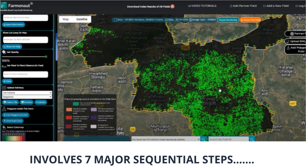
1. Satellite Imagery Acquisition
2. Image Segmentation
3. Ground Truthing Data Collection
4. Crop Classification
5. Training and Validation
6. Crop Area Estimation
7. Accuracy Assessment
Synchronization with the Government of Egypt's assessments & Credibility
Farmonaut conducted an area estimation in Egypt and derived certain results after the learnings.
The alignment of Farmonaut’s wheat area estimations with official government assessments carries significant implications. It serves as a crucial validation of the platform’s accuracy and reliability. When an independent technology-driven solution produces results that closely match those of established government assessments, it underscores the platform’s potential as a trustworthy source of agricultural intelligence. This alignment also contributes to the overall credibility of remote sensing and data-driven methodologies in the agricultural sector.
Egypt holds a prominent position in the global wheat market. The country’s agricultural sector plays a vital role in ensuring food security for its population. Accurate estimations of wheat cultivation areas are essential for effective agricultural planning, resource allocation, and policy formulation. Therefore, any technology or platform that offers reliable wheat area estimations holds immense value for the Egyptian government and stakeholders.
Farmonaut’s assessments in Egypt revealed that there are approximately 3.8 million Feddans of wheat currently under cultivation. The Head of the National Wheat Project, in official figures, corroborated this by stating that around 3.6 million Feddans of wheat have indeed been cultivated. This validation of our findings establishes the accuracy of our numbers at 94%.
The alignment of Farmonaut’s wheat area estimations with the assessments conducted by the Government of Egypt signifies the convergence of technological innovation and agricultural intelligence. The consistent results underscore the reliability and robustness of Farmonaut’s data-driven approach, validating its potential as a trustworthy source for crucial agricultural insights. This alignment not only bolsters the credibility of Farmonaut’s platform but also showcases the broader potential of data-driven methodologies in shaping the future of agriculture. As the demand for accurate agricultural data continues to grow, the synchronization between technology-driven solutions and official assessments holds promise in steering informed decision-making and advancing agricultural sustainability.
