farmonaut satellite imagery

Time Lapse of Californian Fire (November 2018)

Time Lapse of Californian Fire (November 2018)

The State of California experienced massive fire outbreaks in the month of November of 2018. The spread and extent of fire in California was massive and devastating. So, we decide to have a look on the imagery of the last month over a region in California and have created a Time Lapse of the same. The imagery is accessed through our Satellite Imagery System.

The applications of our SATELLITE IMAGERY are limitless.

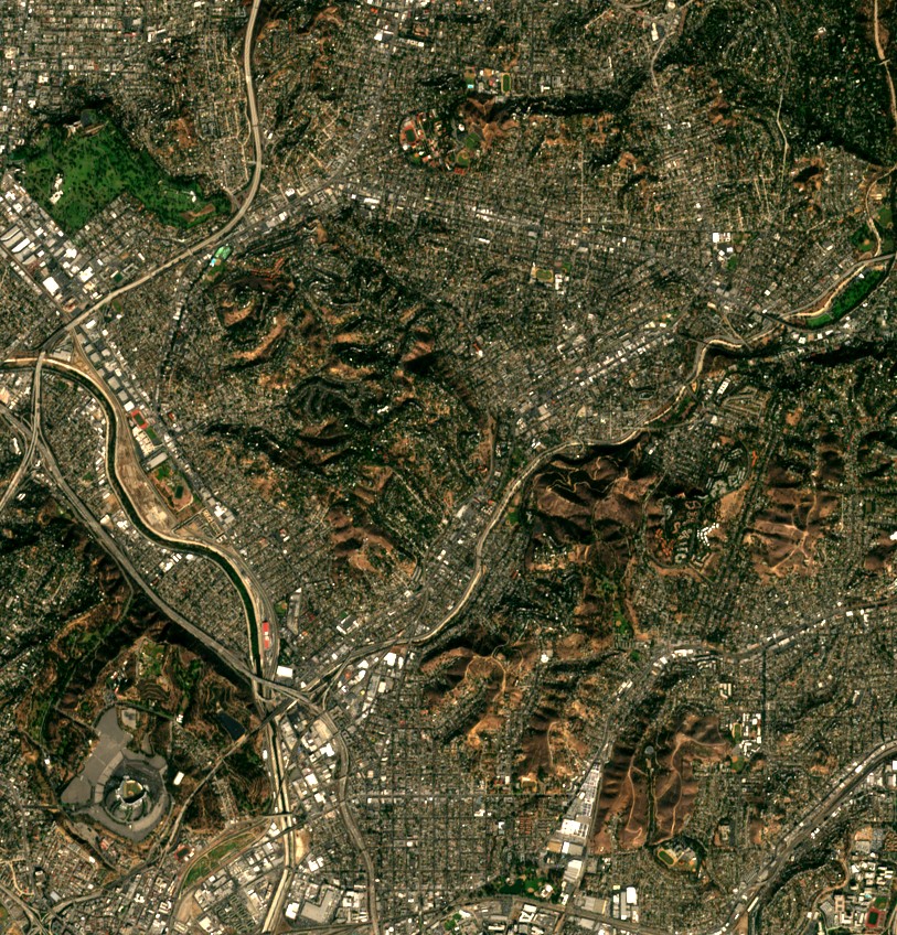
A service for Individual/Institutional usage to retrieve historical/latest satellite imagery from 13 different bands and 7 different Farmonaut processed imagery with the resolution ranging from 10 to 60 meters.

You can reach us on:

Email: [email protected]

AppLink: https://play.google.com/store/apps/details?id=com.farmonaut.android

Website: https://farmonaut.com

Satellite Imagery: https://farmonaut.com/satellite-imagery

Facebook: https://facebook.com/farmonaut

Instagram: https://instagram.com/farmonaut

Medium: https://medium.com/@farmonaut

Twitter: https://twitter.com/farmonaut

Reddit: https://www.reddit.com/user/farmonaut

Youtube: https://www.youtube.com/channel/UCYWOOPPKATLgh4L6YRlYFO

Scroll to Top