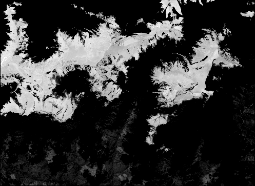
Makhana Area and Yield Calculation in Bihar Based on Remote Sensing
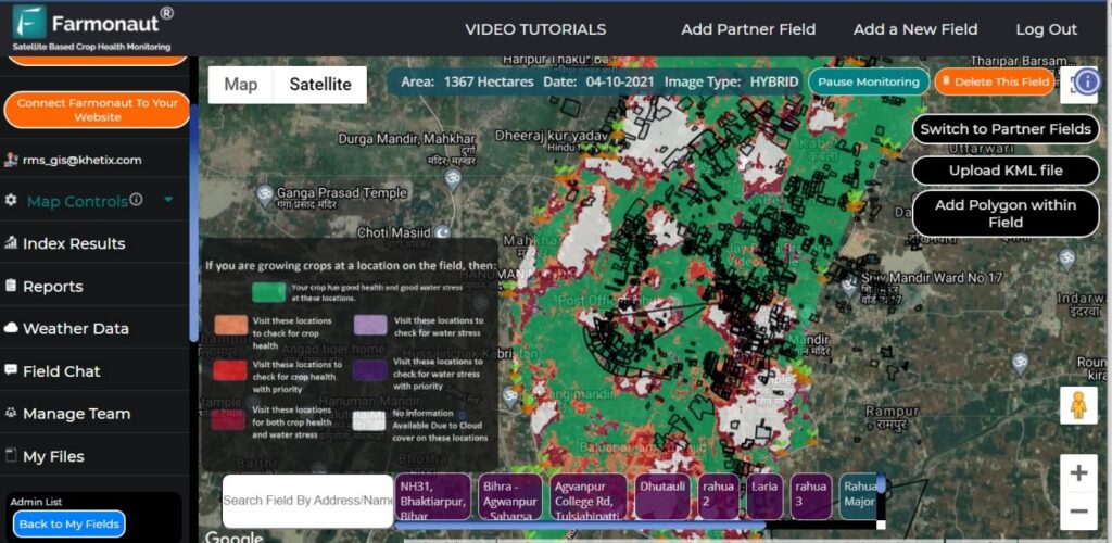
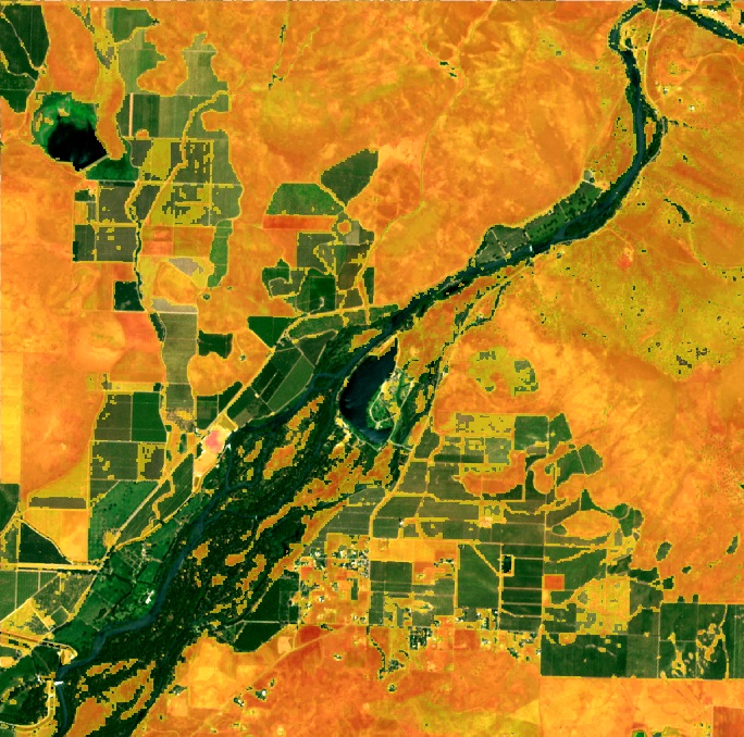
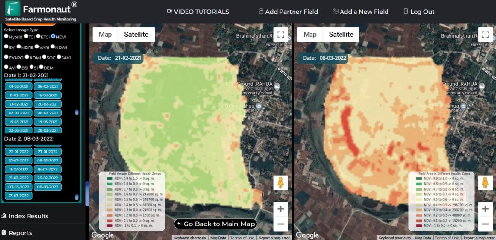
In this paper, we focus on forecasting yield of wheat based on data from Sentinel-2 satellite data. The study area was wheat crop in Saharsa (Bihar). The crop is in advanced stage and has vegetated fully and harvest is expected in next 20-30 days.