Mapping Volcanic Activity Using Farmonaut (December 2018)
Ever Since we released Satellite Imagery System for both android (https://play.google.com/store/apps/details?id=com.farmonaut.android) and web access (https://farmonaut.com/satellite-imagery), we have been exploring different usages and applications of this data. With that in mind, we will keep publishing all the interesting findings which we come about.
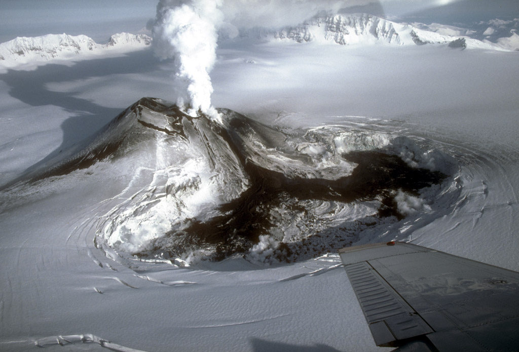
Recently, Mount Veniaminof had been in the news for it’s extreme volcanic activity wherein it ended up spewing ash as high as three miles in the air. The activity was so intense, that the region near it was declared as a no-fly zone. Furthermore, due to extreme clouds generated through ashes above it, it was difficult to analyze it’s volcanic activity.
Since Farmonaut already has access to latest as well as historical satellite imagery of 13 different bands in the visible and non-visible spectrum, we gathered True Color Images and the Short Wave Infrared images of the region surrounding Mount Veniaminof. And the results were really amazing!
As we can see above in the true color image of the region surrounding Mount Veniaminof, the volcanic activity of the volcano is completely hidden, and we can not estimate how active it is. If we can identify the activity of the volcano beforehand, we can take precautionary measures by evacuating the region at the earliest and take other preventive measures as well. For further insights, we accessed the Short Wave Infrared Image of the region as well.
As we can clearly see in the image above, that the volcano is indeed active and is filled up with hot lava almost upto it’s brim. Short Wave Infrared Images give us the capability to see through the atmosphere. Due to it’s comparatively longer wavelength, the light enables better transmission and less scattering than visible light due to the size of water and dust particles in the air, which hence provides us with better visibility, which would have otherwise been hidden if we had only relied on the true color images for observation.
We are still exploring different applications of the satellite imagery which anyone can access through our website: https://farmonaut.com/satellite-imagery or through our android app. We will keep posting every interesting findings which we come across.
If you have any specific ideas in your mind, which you want to be explored you can simply go to the website: https://farmonaut.com/satellite-imagery to perform it by yourself or simply drop an email to us at: [email protected].
Stay Tuned! More interesting articles coming soon!
You can reach us on:
Email: [email protected]
AppLink: https://play.google.com/store/apps/details?id=com.farmonaut.android
Website: https://farmonaut.com
Satellite Imagery: https://farmonaut.com/satellite-imagery
Facebook: https://facebook.com/farmonaut
Instagram: https://instagram.com/farmonaut
Medium: https://medium.com/@farmonaut
Twitter: https://twitter.com/farmonaut
Reddit: https://www.reddit.com/user/farmonaut
Youtube: https://www.youtube.com/channel/UCYWOOPPKATLgh4L6YRlY
