Impact Analysis of Volcano-Induced-Tsunami in Indonesia Using Farmonaut
The geological beast in question, Anak Krakatau, has been undergoing a stuttering eruption since June 18 of this year. While more detailed information about the exact sequence of events leading to the tsunami is still emerging, Indonesian scientists confirmed on 24-December that an underwater landslide caused by the partial collapse of the volcano which triggered the deadly waves. This is not the first time Anak Krakatau has caused damage to Indonesia. In 1883, the volcano devastated the same region during a time of volcanic activity.
Because of such a large impact of this event, we wanted to analyze the extent of devastation in the coastal region of the affected areas. For the same, we gathered satellite imagery accessible through our website (https://farmonaut.com/satellite-imagery). To perform these observations, we retrieved images of the following bands:
- B3: Green, CW: 0.560 um, Resolution: 10 m
- B4: Red, CW: 0.665 um, Resolution: 10 m
- B8: NIR, CW: 0.842 um, Resolution: 10 m
- ETCI: Enhanced True Color Image, Resolution: 10 m
We then processed these images to map the vegetation as well as habitation loss in a few coastal regions where the devastation had been massive. The images were then color mapped accordingly. The imagery processed are of the dates: 19-Dec (Before the catastrophe) and 24-Dec (after the catastrophe). The processed imagery reveals how much impactful the disaster was.
Left to Right: ETCI (19-Dec), Vegetation Map (19-Dec), Vegetation Map (24-Dec)
The blue region in the last two images from the left represent water, whereas the green color represents the vegetation, and the other colors in the red band represent inanimate objects such as households, constructions etc.
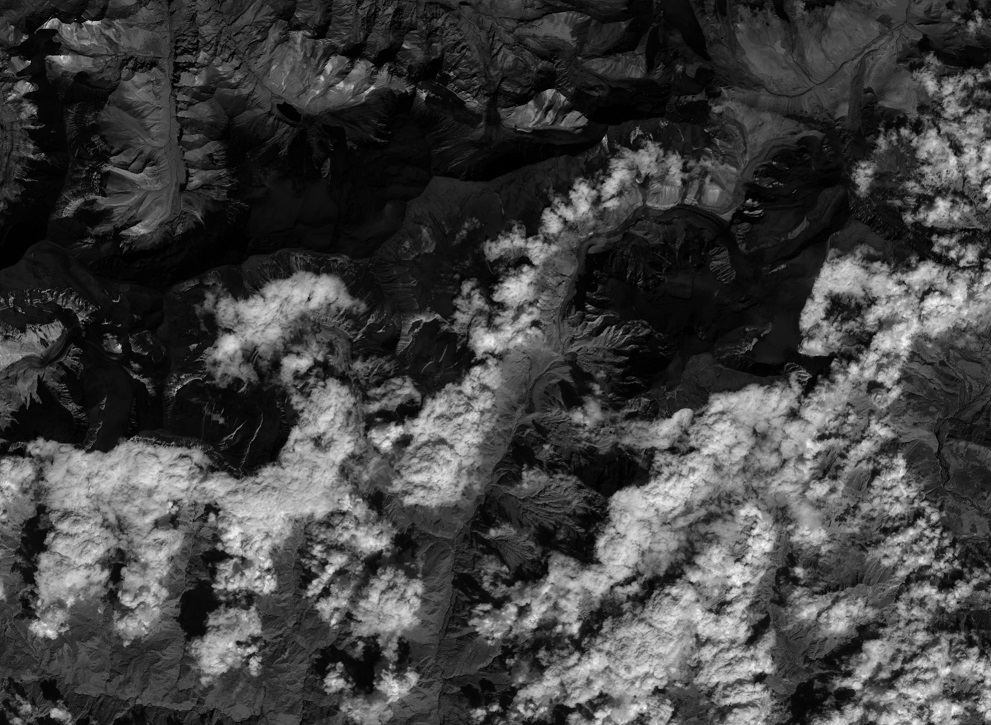
In observed Region 1, even though the area did not contain much habitation, the tsunami destroyed almost all the healthy and live vegetation of the region. In observed Region 2, we can clearly see that all the inanimate objects are being swept out by the extreme water impact and a very significant proportion of healthy and live vegetation got destroyed too. In observed Region 3, the imagery accessed for the date of 24-December contained significant cloud cover which made it a little difficult to distinguish between different features of the imagery. However, the imagery is still able to reveal a significant amount of damage being done by the tsunami water.
Volcanic hazards are not new to Indonesia and the rest of the world, and the effects of the latest eruption of Anak Krakatau should serve as a reminder that we need additional study, education, and preparedness measures to keep people and property safe during volcanic disasters and their aftermath.
For the scenarios of natural disasters like this, we are exploring the possibilities of developing a system which can help the rescue teams in planning their tasks effectively to reach as many affected peoples as possible in the least amount of time. We hope to make positive progress on this objective in the coming days, and will keep you posted of any latest developments.
Do you have an awesome idea for a landscape you think is worth exploring? Or are you looking for better resolution images for your work at affordable prices? Simply click on the link below and get a 100$ joining credit. https://farmonaut.com/satellite-imagery
Famonaut aims to provide the best service and satisfy your needs. Not sure what to do? Contact us at [email protected].
We have some more interesting articles coming up soon. Stay tuned!
Wait!!
Before that…
Follow us at:
Facebook: https://facebook.com/farmonaut
Instagram: https://instagram.com/farmonaut
Twitter: https://twitter.com/farmonaut
LinkedIn: https://www.linkedin.com/company/farmonaut/
Pinterest: https://in.pinterest.com/farmonaut/
Tumblr: https://farmonaut.tumblr.com/
Youtube: https://www.youtube.com/channel/UCYWOOPPKATLgh4L6YRlYFOQ
AppLink: https://play.google.com/store/apps/details?id=com.farmonaut.android
Website: https://farmonaut.com
Satellite Imagery: https://farmonaut.com/satellite-imagery
Satellite Imagery Samples: https://farmonaut.com/satellite-imagery-samples
