Revolutionizing Agriculture: How Satellite Imagery and Earth Observation Data Enhance Precision Farming with Farmonaut
“Satellite imagery covers over 350 million square kilometers daily, revolutionizing agricultural monitoring and precision farming.”
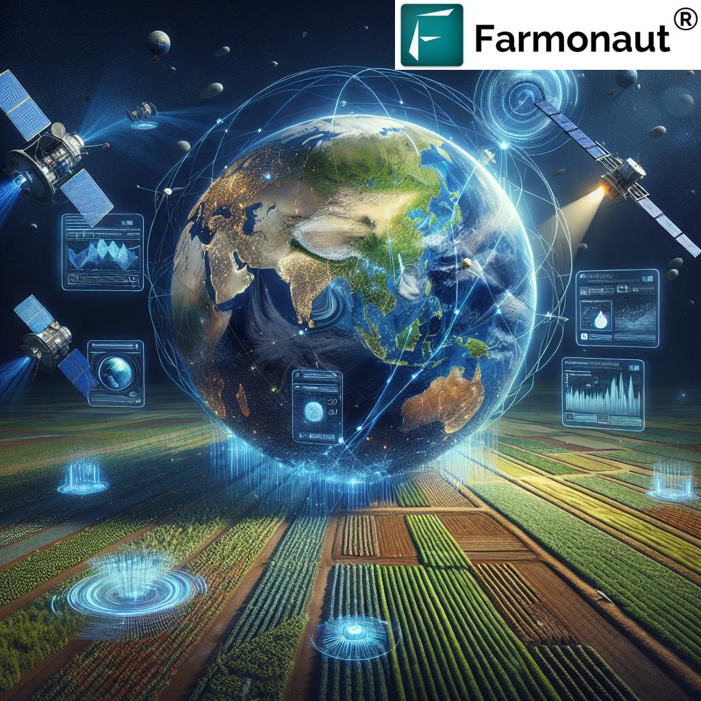
In the ever-evolving landscape of agriculture, we are witnessing a remarkable transformation driven by cutting-edge technologies. At the forefront of this revolution are satellite imagery for agriculture and earth observation data, which are reshaping the way we approach farming practices. In this comprehensive exploration, we will delve into how these innovative tools are enhancing precision farming technologies and revolutionizing agricultural monitoring systems.
As we navigate through the intricacies of this technological evolution, we’ll uncover how Farmonaut, a pioneering force in the field, is leveraging advanced remote sensing in agriculture to provide invaluable insights for sustainable farming practices. Join us on this journey as we explore the impact of climate change on agriculture and discover how sophisticated land use monitoring techniques are molding the future of food production.
The Power of Satellite Imagery in Agriculture
Satellite imagery has become an indispensable tool in modern agriculture, offering unprecedented insights into crop health, land use, and environmental conditions. Let’s explore some key aspects of this technology:
- High-Resolution Data: Today’s satellites provide sub-meter resolution imagery, allowing for detailed analysis of individual fields and even specific plants.
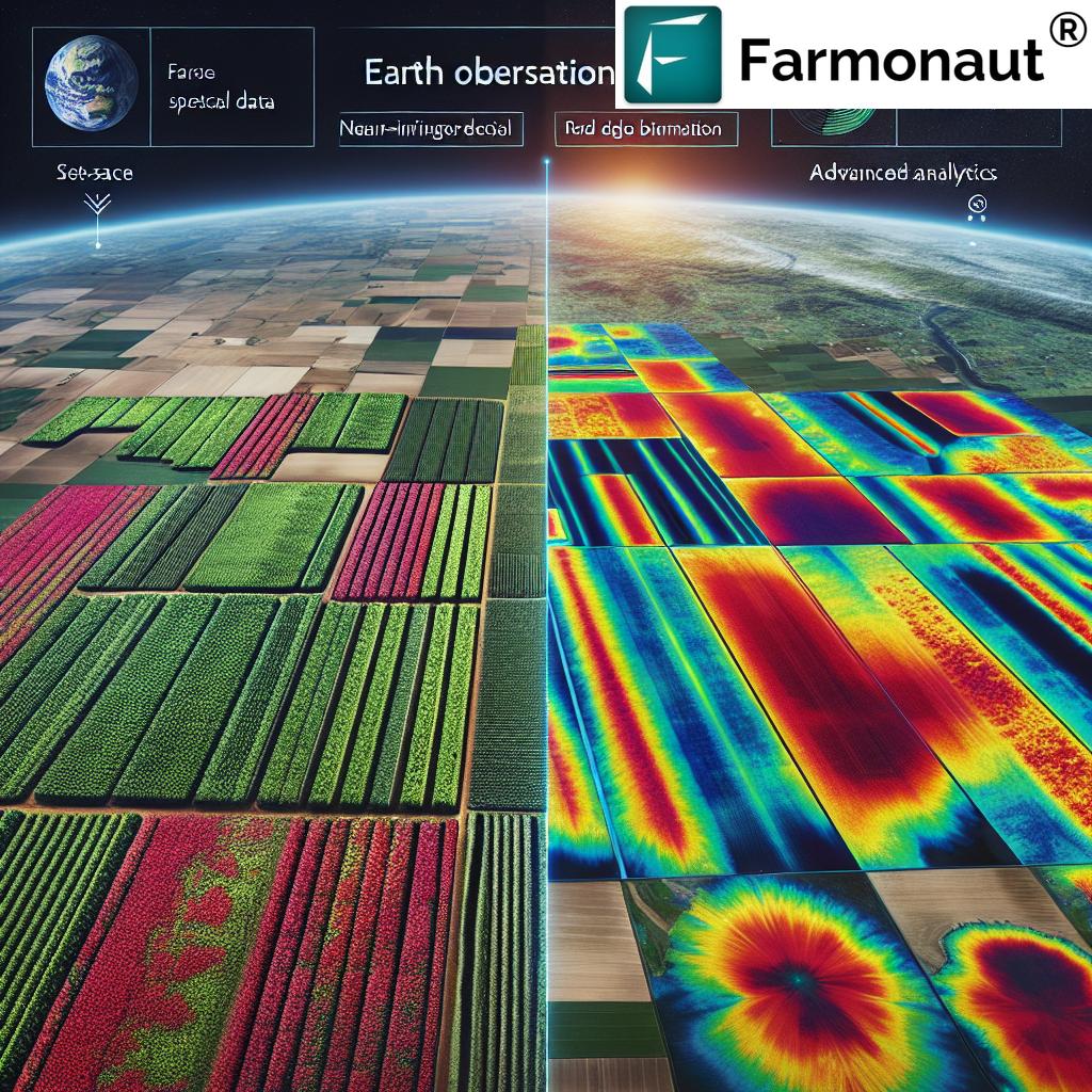
- Multi-Spectral Imaging: Utilizing various spectral bands, including NIR (Near-Infrared) and Red Edge, satellites can detect subtle changes in vegetation that are invisible to the naked eye.
- Frequent Coverage: With daily coverage of over 350 million square kilometers, farmers can access up-to-date information about their crops and land.
- Wide Application: From agriculture and forestry to environmental research, satellite data is transforming multiple sectors related to land management and food production.
Farmonaut harnesses this powerful technology to provide farmers with actionable insights. Through our web application, we offer access to high-resolution satellite imagery that can revolutionize your farming practices.

Earth Observation Data: The Foundation of Precision Farming
Earth observation data forms the backbone of precision farming technologies. This vast collection of information, gathered from satellites, aircraft, and ground-based sensors, provides a comprehensive view of agricultural landscapes. Here’s how it’s making a difference:
- Crop Health Analysis: By analyzing spectral signatures, we can assess crop health, detect stress, and identify potential issues before they become visible to the human eye.
- Soil Moisture Monitoring: Earth observation data allows for accurate tracking of soil moisture levels, crucial for optimizing irrigation and water management.
- Land Use Classification: Advanced algorithms can classify land use types, helping in agricultural planning and environmental conservation efforts.
- Climate Change Impact Assessment: Long-term earth observation data enables us to study and predict the effects of climate change on agricultural regions.
At Farmonaut, we integrate this wealth of earth observation data into our Android app and iOS app, providing farmers with a powerful tool right at their fingertips.
Enhancing Agricultural Monitoring Systems
The integration of satellite imagery and earth observation data has led to significant improvements in agricultural monitoring systems. These advanced systems offer:
- Real-Time Monitoring: Farmers can track crop development and field conditions in real-time, allowing for timely interventions.
- Precision Resource Management: By providing detailed insights into crop needs, these systems enable precise application of water, fertilizers, and pesticides.
- Early Warning Systems: Advanced monitoring can detect early signs of pest infestations, diseases, or adverse weather conditions, allowing for proactive measures.
- Yield Prediction: By analyzing historical data and current conditions, these systems can provide accurate yield forecasts, aiding in harvest planning and market strategies.
Farmonaut’s platform incorporates these advanced monitoring capabilities, offering farmers a comprehensive tool for managing their agricultural operations efficiently.
The Role of Remote Sensing in Agriculture
Remote sensing technology plays a crucial role in modern agriculture, offering numerous benefits:
- Non-Invasive Monitoring: Remote sensing allows for crop assessment without physical contact, reducing the risk of damage or contamination.
- Large-Scale Analysis: It enables the monitoring of vast agricultural areas, providing a broad perspective on regional trends and patterns.
- Temporal Analysis: By comparing data over time, remote sensing helps in understanding crop growth patterns and long-term land use changes.
- Cost-Effective Solution: Compared to traditional field surveys, remote sensing offers a more economical way to gather extensive agricultural data.
Through our API, Farmonaut provides access to advanced remote sensing data, enabling developers and businesses to integrate these powerful insights into their own agricultural solutions.
“Sub-meter resolution satellite imagery utilizes multiple spectral bands, including NIR and Red Edge, for advanced crop health assessment.”
Sustainable Farming Practices: A New Era
The integration of satellite imagery and earth observation data is paving the way for more sustainable farming practices. Here’s how:
- Precision Resource Use: By providing detailed insights into crop needs, farmers can optimize the use of water, fertilizers, and pesticides, reducing waste and environmental impact.
- Conservation Agriculture: Earth observation data helps in identifying areas suitable for conservation practices, such as no-till farming or cover cropping.
- Biodiversity Monitoring: Satellite imagery allows for tracking of biodiversity in agricultural landscapes, helping to maintain ecological balance.
- Carbon Sequestration: Advanced monitoring techniques can assess the carbon sequestration potential of agricultural lands, contributing to climate change mitigation efforts.
At Farmonaut, we’re committed to promoting sustainable farming practices through our advanced satellite-based solutions. Our platform provides farmers with the tools they need to make environmentally conscious decisions while optimizing their yields.

Climate Change and Agriculture: Navigating Challenges
The agricultural sector is one of the most vulnerable to climate change impacts. Here’s how satellite imagery and earth observation data are helping farmers adapt:
- Climate Risk Assessment: Long-term satellite data enables the identification of areas at risk from climate change impacts, such as drought or flooding.
- Adaptation Strategies: By analyzing climate trends and crop performance, farmers can develop strategies to adapt to changing conditions, such as shifting planting dates or selecting more resilient crop varieties.
- Disaster Response: In the event of extreme weather events, satellite imagery provides rapid assessments of damage, facilitating quicker response and recovery efforts.
- Policy Planning: Governments and organizations use this data to develop climate-smart agricultural policies and support programs for farmers.
Farmonaut’s platform integrates climate data with agricultural insights, helping farmers make informed decisions in the face of climate uncertainties. Our API Developer Docs provide detailed information on how to access and utilize this valuable climate-related data.
Agricultural Land Use Monitoring: Shaping the Future of Food Production
Effective land use monitoring is crucial for sustainable agricultural development. Satellite imagery and earth observation data offer unprecedented capabilities in this area:
- Land Use Classification: Advanced algorithms can accurately classify different types of agricultural land, from croplands to pastures.
- Change Detection: By comparing images over time, we can track changes in land use, such as deforestation or urban expansion into agricultural areas.
- Crop Rotation Monitoring: Satellite data enables the tracking of crop rotation practices, which is essential for maintaining soil health and productivity.
- Illegal Land Use Detection: High-resolution imagery can help identify unauthorized agricultural activities, supporting conservation efforts.
Farmonaut’s platform incorporates advanced land use monitoring features, providing valuable insights for farmers, policymakers, and researchers alike.
The Power of Multi-Spectral Bands in Agriculture
Multi-spectral satellite imagery, which captures data across several wavelengths of the electromagnetic spectrum, is revolutionizing crop health assessment. Here’s how different spectral bands contribute to agricultural insights:
- NIR (Near-Infrared): Essential for assessing plant vigor and biomass, NIR reflectance is strongly correlated with leaf chlorophyll content.
- Red Edge: This narrow band between red and NIR is highly sensitive to chlorophyll content, providing early detection of plant stress.
- Green: Useful for estimating leaf chlorophyll concentration and identifying nutrient deficiencies.
- Blue: Helps in soil type mapping and atmospheric corrections in satellite imagery.
Farmonaut leverages these multi-spectral bands to provide detailed crop health analysis, enabling farmers to detect and address issues before they become visible to the naked eye.
Applications of Satellite Data Beyond Agriculture
While our focus is on agriculture, it’s worth noting that satellite imagery and earth observation data have wide-ranging applications across various sectors:
- Forestry: Monitoring deforestation, assessing forest health, and managing timber resources.
- Environmental Research: Studying ecosystems, tracking biodiversity, and monitoring climate change impacts.
- Urban Planning: Analyzing urban growth patterns and supporting sustainable city development.
- Disaster Management: Providing rapid assessments of natural disasters for effective response and recovery efforts.
- Energy Sector: Identifying potential sites for renewable energy projects and monitoring existing infrastructure.
While Farmonaut specializes in agricultural applications, our technology has the potential to contribute insights to these diverse fields as well.
Satellite Imagery Applications in Agriculture
| Application | Benefits | Farmonaut’s Solution |
|---|---|---|
| Crop Health Monitoring | Early detection of stress, diseases | Multi-spectral analysis for precise health assessment |
| Irrigation Management | Water conservation, optimal crop growth | Soil moisture analysis for efficient irrigation planning |
| Yield Prediction | Better harvest planning, market strategies | AI-driven yield forecasting based on historical and real-time data |
| Pest and Disease Detection | Timely interventions, reduced crop loss | Early warning system using spectral signatures of pest infestations |
| Climate Change Impact Assessment | Adaptation strategies, risk mitigation | Long-term data analysis for climate trend insights |
The Future of Precision Farming with Farmonaut
As we look to the future, the integration of satellite imagery and earth observation data in agriculture will only become more sophisticated and impactful. Farmonaut is at the forefront of this revolution, continuously innovating to provide farmers with the most advanced and user-friendly tools for precision farming.
Our commitment to making these technologies accessible and affordable means that farms of all sizes can benefit from the power of satellite-based insights. Whether you’re managing a small family farm or overseeing large-scale agricultural operations, Farmonaut’s solutions are designed to meet your needs and help you achieve sustainable, profitable farming practices.
Embracing the Agricultural Revolution
The revolution in agriculture, driven by satellite imagery and earth observation data, is not just about technology—it’s about empowering farmers, enhancing food security, and promoting sustainable practices. As we face global challenges like climate change and population growth, these advanced tools become increasingly crucial in ensuring a stable and sustainable food supply for future generations.
Farmonaut is proud to be part of this transformative journey, providing farmers with the insights they need to make informed decisions, optimize their operations, and contribute to a more sustainable agricultural future. We invite you to join us in this revolution, leveraging the power of satellite technology to enhance your farming practices and contribute to a more sustainable world.
Get Started with Farmonaut
Ready to revolutionize your farming practices with the power of satellite imagery and earth observation data? Farmonaut offers a range of solutions to meet your needs:
- Web Application: Access our comprehensive platform for farm management and monitoring.
- Android App: Take the power of Farmonaut with you in the field.
- iOS App: For Apple users, our iOS app provides the same powerful features on your iPhone or iPad.
- API Access: Integrate Farmonaut’s data and insights into your own systems and applications.
Choose the solution that best fits your needs and start transforming your agricultural practices today!
Farmonaut Subscriptions
Frequently Asked Questions
Q: How often is satellite imagery updated on Farmonaut’s platform?
A: Farmonaut provides regular updates to satellite imagery, with frequency depending on the specific subscription plan. Some areas may receive daily updates, while others are updated every few days.
Q: Can Farmonaut’s technology be used for small-scale farms?
A: Absolutely! Farmonaut’s solutions are designed to be scalable and accessible for farms of all sizes, from small family farms to large agricultural operations.
Q: How accurate is the crop health analysis provided by Farmonaut?
A: Farmonaut’s crop health analysis is highly accurate, leveraging advanced multi-spectral imagery and AI algorithms. However, it’s always recommended to use these insights in conjunction with on-ground observations for the best results.
Q: Does Farmonaut offer support for integrating its API into existing farm management systems?
A: Yes, Farmonaut provides comprehensive documentation and support for API integration. Our team is available to assist developers in seamlessly incorporating our data into their systems.
Q: How does Farmonaut help farmers adapt to climate change?
A: Farmonaut’s platform includes climate data analysis and predictive models that help farmers understand and prepare for changing climate conditions, enabling them to make informed decisions about crop selection, planting times, and resource management.
As we conclude this exploration of how satellite imagery and earth observation data are revolutionizing agriculture, it’s clear that we’re on the cusp of a new era in farming. With Farmonaut’s innovative solutions, farmers around the world can harness the power of these technologies to enhance their productivity, sustainability, and resilience in the face of global challenges.
We invite you to join us in this agricultural revolution. Whether you’re a small-scale farmer looking to optimize your operations or a large agribusiness seeking to implement cutting-edge precision farming techniques, Farmonaut has the tools and expertise to support your journey.
Together, we can cultivate a future where agriculture is not only more productive but also more sustainable and resilient. Let’s embrace the power of satellite technology and data-driven insights to nurture our crops, our land, and our planet for generations to come.


