Harnessing Farmonaut’s Precision Farming Technology: Revolutionize Your Crop Monitoring with Advanced Weather Radar and Satellite Imagery
“Satellite imagery can enhance crop yield predictions by up to 25% compared to traditional methods.”
In the ever-evolving landscape of modern agriculture, we’re witnessing a revolutionary shift towards precision farming technology. At the forefront of this agricultural renaissance is the innovative use of weather radar and satellite imagery, transforming the way we monitor crops and manage farms. In this comprehensive guide, we’ll explore how these cutting-edge technologies are reshaping the future of farming, with a special focus on Farmonaut’s digital agriculture solutions.
The Dawn of Precision Agriculture
Precision agriculture represents a paradigm shift in farming practices, leveraging advanced technologies to optimize crop yields, conserve resources, and enhance overall farm productivity. At its core, precision farming relies on accurate, timely data to inform decision-making processes. This is where weather radar and satellite imagery come into play, providing farmers with unprecedented insights into their fields and the environmental factors affecting them.
Weather Radar: The Farmer’s Crystal Ball
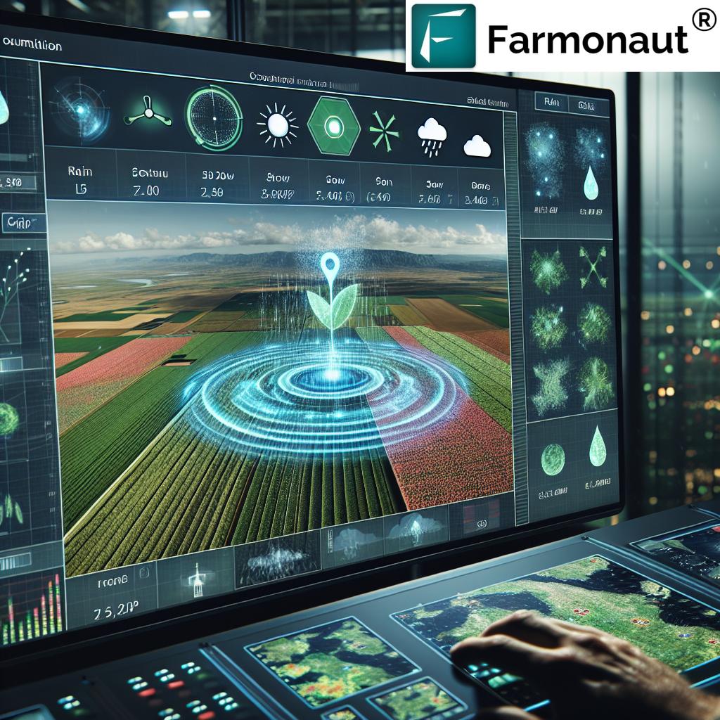
Weather radar technology has become an indispensable tool for modern farmers. By providing real-time data on precipitation patterns, wind speed, and severe weather events, weather radar enables farmers to make informed decisions about planting, harvesting, and protecting their crops.
- Precipitation Tracking: Weather radar can detect rainfall with remarkable accuracy, helping farmers optimize irrigation schedules and prevent water waste.
- Severe Weather Alerts: Early warnings about hurricanes, hailstorms, or other extreme weather events allow farmers to take preventive measures to protect their crops.
- Wind Pattern Analysis: Understanding wind patterns is crucial for planning pesticide applications and preventing drift.
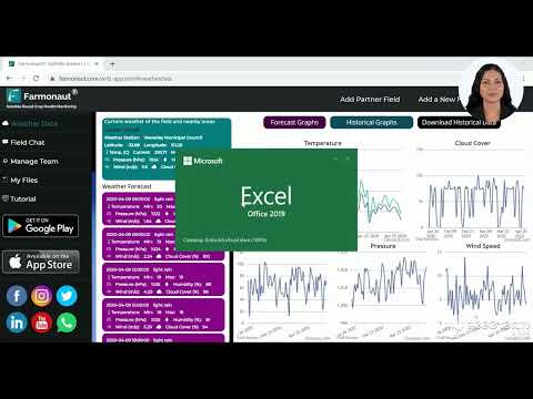
Farmonaut integrates advanced weather radar data into its platform, providing farmers with hyper-local weather forecasts and alerts. This integration allows for more precise planning and risk management in farming operations.
Satellite Imagery: A Bird’s-Eye View of Crop Health
Satellite imagery has revolutionized crop monitoring by offering a comprehensive, large-scale view of agricultural lands. This technology provides valuable insights into crop health, soil conditions, and land use patterns.
- Vegetation Indices: Satellites can measure the Normalized Difference Vegetation Index (NDVI), providing a clear picture of crop health and vigor.
- Soil Moisture Analysis: Advanced sensors can detect soil moisture levels, helping farmers optimize irrigation practices.
- Crop Yield Prediction: By analyzing historical and current data, satellite imagery can help forecast crop yields with increasing accuracy.
Farmonaut’s platform leverages high-resolution satellite imagery to provide farmers with detailed insights into their fields. Our advanced algorithms process this data to deliver actionable information about crop health, pest infestations, and potential yield estimates.
The Synergy of Weather Radar and Satellite Imagery
When combined, weather radar and satellite imagery create a powerful toolkit for precision agriculture. This synergy allows farmers to:
- Correlate weather patterns with crop health trends
- Optimize resource allocation based on field-specific needs
- Implement targeted interventions for pest and disease management
- Make data-driven decisions about planting and harvesting times
Farmonaut’s platform seamlessly integrates these technologies, providing a comprehensive solution for modern farmers. Our user-friendly interface allows easy access to both weather radar data and satellite imagery analysis, empowering farmers to make informed decisions quickly and efficiently.
Explore Farmonaut’s advanced solutions:
Revolutionizing Crop Monitoring Systems
The integration of weather radar and satellite imagery has led to the development of sophisticated crop monitoring systems. These systems provide real-time data on various aspects of crop health and environmental conditions, enabling farmers to take a proactive approach to farm management.
- Early Detection of Crop Stress: By analyzing subtle changes in vegetation indices, these systems can identify potential issues before they become visible to the naked eye.
- Precision Irrigation: Combining soil moisture data from satellites with precipitation forecasts from weather radar allows for highly efficient irrigation planning.
- Pest and Disease Monitoring: Advanced algorithms can detect patterns indicative of pest infestations or disease outbreaks, allowing for early intervention.
Farmonaut’s crop monitoring system leverages these technologies to provide farmers with a comprehensive view of their fields. Our platform offers customizable alerts and reports, ensuring that farmers stay informed about the health and status of their crops at all times.
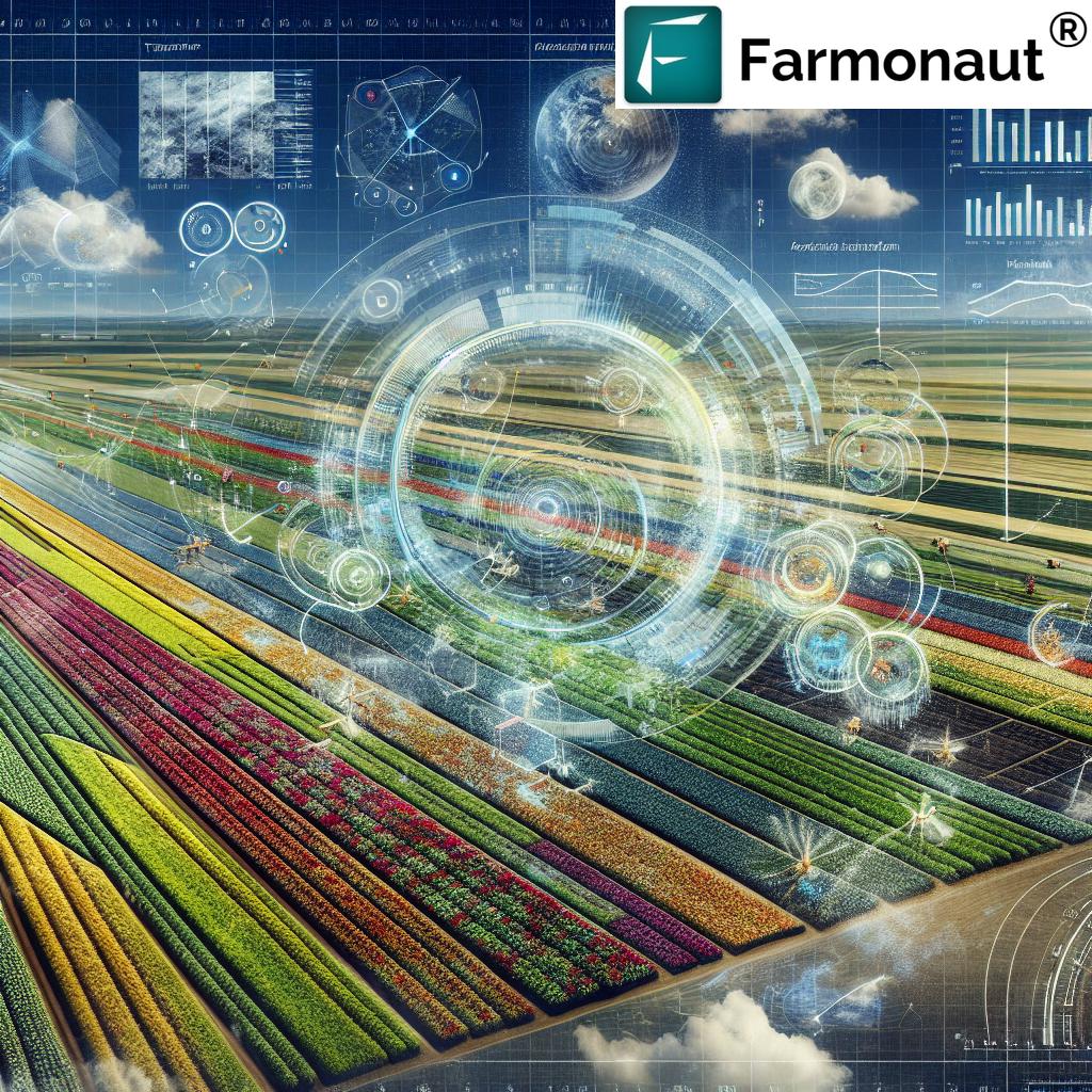
Enhancing Agricultural Weather Forecasting
Accurate weather forecasting is crucial for successful farming operations. The combination of weather radar data and satellite observations has significantly improved the accuracy and reliability of agricultural weather forecasts.
- Micro-climate Analysis: Advanced weather models can now account for local topography and land use, providing more accurate forecasts for specific fields.
- Long-term Climate Trends: Satellite data helps in understanding and predicting long-term climate patterns, crucial for crop selection and planning.
- Frost and Heat Wave Predictions: Improved forecasting models can predict frost events and heat waves with greater accuracy, allowing farmers to take preventive measures.
Farmonaut’s platform incorporates state-of-the-art weather forecasting models, providing farmers with reliable, field-specific weather predictions. Our system continuously updates these forecasts, ensuring that farmers always have access to the most current information.
“Weather radar technology can detect precipitation patterns as small as 0.5 mm, crucial for precise irrigation planning.”
Leveraging Climate Data for Smart Farming
Climate data plays a crucial role in modern agriculture, influencing everything from crop selection to long-term farm planning. The integration of historical climate data with current observations and future projections provides farmers with a powerful tool for decision-making.
- Crop Suitability Analysis: By analyzing long-term climate trends, farmers can make informed decisions about which crops are best suited for their region.
- Risk Assessment: Understanding climate patterns helps in assessing risks associated with extreme weather events and planning accordingly.
- Adaptation Strategies: As climate change impacts agriculture, access to comprehensive climate data helps farmers develop effective adaptation strategies.
Farmonaut’s platform incorporates extensive climate data analysis, providing farmers with insights into long-term trends and potential risks. This information is crucial for strategic planning and ensuring the long-term sustainability of farming operations.
Smart Irrigation Systems: Precision Water Management
Water is a precious resource in agriculture, and smart irrigation systems are at the forefront of water conservation efforts. These systems leverage weather radar data, satellite imagery, and on-ground sensors to optimize water usage.
- Soil Moisture Mapping: Satellite imagery and ground sensors provide detailed maps of soil moisture levels across fields.
- Evapotranspiration Modeling: Advanced models calculate water loss through evaporation and plant transpiration, informing irrigation needs.
- Weather-based Irrigation Scheduling: Integration with weather forecasts allows for dynamic adjustment of irrigation schedules based on expected rainfall.
Farmonaut’s platform includes advanced irrigation management tools that help farmers optimize water usage. By combining various data sources, our system provides precise recommendations for when and how much to irrigate, ensuring efficient water use while maintaining optimal crop health.
Soil Moisture Tracking: The Foundation of Precision Agriculture
Accurate soil moisture tracking is fundamental to effective crop management. Modern precision farming technologies offer unprecedented insights into soil moisture conditions, enabling farmers to make data-driven decisions about irrigation and crop management.
- Remote Sensing Technologies: Satellites equipped with specialized sensors can measure surface soil moisture over large areas.
- In-situ Sensors: Ground-based sensors provide detailed, localized data on soil moisture at various depths.
- Data Integration: Combining remote sensing data with on-ground measurements offers a comprehensive view of soil moisture conditions.
Farmonaut’s platform integrates advanced soil moisture tracking capabilities, providing farmers with detailed insights into the moisture content of their fields. This information is crucial for optimizing irrigation practices, preventing water stress, and ensuring optimal crop growth conditions.
Precipitation Patterns: Understanding the Lifeblood of Agriculture
Precipitation is a critical factor in agriculture, and understanding its patterns is essential for successful farming. Advanced weather radar systems provide detailed information about precipitation patterns, helping farmers make informed decisions about water management and crop planning.
- Rainfall Distribution Analysis: Weather radar can map the spatial distribution of rainfall across agricultural regions.
- Intensity and Duration Measurements: Precise data on rainfall intensity and duration helps in assessing potential impacts on crops.
- Historical Pattern Analysis: Studying long-term precipitation patterns aids in crop selection and long-term farm planning.
Farmonaut’s platform incorporates advanced precipitation analysis tools, providing farmers with detailed insights into rainfall patterns affecting their fields. This information is crucial for optimizing irrigation strategies, planning planting and harvesting activities, and managing water resources effectively.
Crop Yield Prediction: The Power of Data-Driven Forecasting
Accurate crop yield prediction is a game-changer in modern agriculture, allowing farmers to make informed decisions about resource allocation, marketing, and financial planning. The integration of satellite imagery, weather data, and advanced analytics has significantly improved the accuracy of yield forecasts.
- Vegetation Index Analysis: Satellite-derived vegetation indices provide insights into crop health and potential yield.
- Historical Yield Data Integration: Combining current observations with historical yield data improves prediction accuracy.
- Machine Learning Models: Advanced algorithms can process multiple data sources to generate accurate yield predictions.
Farmonaut’s platform includes sophisticated crop yield prediction tools that leverage multiple data sources and advanced analytics. Our system provides farmers with timely, accurate yield forecasts, enabling better planning and decision-making throughout the growing season.
Digital Agriculture Solutions: The Future of Farming
Digital agriculture solutions are transforming the farming landscape, offering a suite of tools that enhance efficiency, productivity, and sustainability. These solutions integrate various technologies to provide comprehensive farm management capabilities.
- Farm Management Software: Centralized platforms for managing all aspects of farm operations.
- IoT Sensors and Devices: Connected devices that provide real-time data on various farm parameters.
- Data Analytics and AI: Advanced algorithms that process farm data to provide actionable insights.
Farmonaut’s digital agriculture platform offers a comprehensive suite of tools designed to meet the diverse needs of modern farmers. Our solution integrates satellite imagery, weather data, and advanced analytics to provide a powerful, user-friendly farm management system.
Explore Farmonaut’s API capabilities: Farmonaut API
Learn more about integrating Farmonaut’s data: API Developer Docs
Comparative Analysis: Precision Farming Technologies
To provide a clear understanding of the various precision farming technologies available, let’s compare their features and benefits:
| Technology | Primary Function | Data Provided | Update Frequency | Application in Agriculture | Estimated Cost-Benefit Ratio |
|---|---|---|---|---|---|
| Weather Radar | Weather Forecasting | Precipitation Patterns, Wind Speed | Real-time | Severe Weather Alerts, Irrigation Planning | High |
| Satellite Imagery | Crop Health Assessment | Vegetation Indices, Land Use Patterns | Daily to Weekly | Crop Yield Prediction, Pest Detection | High |
| Soil Moisture Sensors | Irrigation Management | Soil Moisture Levels | Continuous | Smart Irrigation, Water Conservation | Medium |
| Drone Imagery | Detailed Field Mapping | High-Resolution Field Images | On-Demand | Precision Spraying, Plant Counting | Medium |
| IoT Sensors | Environmental Monitoring | Temperature, Humidity, Soil pH | Real-time | Microclimate Management, Frost Alerts | Medium to High |
The Role of Air Quality Data in Agriculture
Air quality is an often-overlooked factor in agriculture, but it can significantly impact crop health and yield. Modern precision farming technologies now incorporate air quality data to provide a more comprehensive view of environmental conditions affecting crops.
- Pollutant Monitoring: Tracking levels of pollutants like ozone and particulate matter that can affect plant growth.
- Carbon Dioxide Levels: Monitoring CO2 concentrations, which are crucial for photosynthesis and plant growth.
- Pollen Forecasts: Important for understanding potential cross-pollination and allergen levels.
Farmonaut’s platform integrates air quality data into its comprehensive environmental monitoring system. This information helps farmers understand the broader environmental context affecting their crops and make informed decisions about crop management and protection.
Adapting to Climate Challenges: From Hurricanes to Wildfires
Climate change is presenting new challenges to farmers worldwide, with increased frequency and severity of extreme weather events. Precision farming technologies play a crucial role in helping farmers adapt to these challenges.
- Hurricane Tracking: Advanced weather models provide early warnings and detailed trajectory predictions for tropical storms.
- Wildfire Risk Assessment: Satellite imagery and weather data help in assessing and monitoring wildfire risks in agricultural areas.
- Drought Monitoring: Combination of satellite data and ground sensors for early detection and management of drought conditions.
Farmonaut’s platform includes advanced risk assessment tools that help farmers prepare for and mitigate the impacts of extreme weather events. Our system provides timely alerts and recommendations to help protect crops and infrastructure in the face of severe weather conditions.
The Global Perspective: Precision Farming Across Regions
Precision farming technologies are being adopted worldwide, with applications varying based on regional climates, crop types, and agricultural practices. Let’s explore how these technologies are being utilized in different parts of the world:
- North America: Focus on large-scale crop monitoring and precision irrigation in regions like the Midwest United States.
- South America: Emphasis on deforestation monitoring and sustainable agriculture practices in countries like Brazil.
- Europe: Integration of precision farming with EU agricultural policies, focusing on sustainability and resource efficiency.
- Asia: Adoption of satellite-based crop monitoring systems to support small-scale farmers in countries like India and China.
- Africa: Use of satellite imagery and weather data to improve food security and support smallholder farmers.
- Australia: Application of precision agriculture technologies to manage large-scale farming operations in challenging climatic conditions.
Farmonaut’s global perspective allows us to tailor our solutions to the specific needs of different regions and farming practices. Our platform is designed to be flexible and adaptable, providing valuable insights to farmers around the world.
The Future of Precision Farming: Emerging Technologies
As technology continues to advance, the future of precision farming looks increasingly sophisticated and integrated. Here are some emerging technologies that are set to shape the future of agriculture:
- Artificial Intelligence and Machine Learning: Advanced AI algorithms will provide even more accurate predictions and recommendations.
- Blockchain in Agriculture: Enhancing traceability and transparency in the food supply chain.
- 5G and IoT Integration: Faster, more reliable connectivity for real-time data collection and analysis.
- Autonomous Farm Equipment: Self-driving tractors and drones for more efficient farm operations.
- Gene Editing and Precision Breeding: Tailoring crops to specific environmental conditions and challenges.
Farmonaut is committed to staying at the forefront of these technological advancements, continuously updating our platform to incorporate the latest innovations in precision agriculture.
Conclusion: Embracing the Precision Farming Revolution
The integration of weather radar, satellite imagery, and other precision farming technologies is revolutionizing agriculture. These tools provide farmers with unprecedented insights into their fields, enabling more efficient, sustainable, and productive farming practices. As we face the challenges of climate change and increasing food demand, precision agriculture will play a crucial role in ensuring global food security.
Farmonaut stands at the forefront of this agricultural revolution, offering a comprehensive suite of digital agriculture solutions. Our platform combines cutting-edge technology with user-friendly interfaces, empowering farmers to make data-driven decisions and optimize their operations. By harnessing the power of weather radar, satellite imagery, and advanced analytics, Farmonaut is helping to shape the future of farming – a future that is more efficient, sustainable, and resilient.
As we look to the future, the potential for precision farming technologies to transform agriculture is enormous. From small-scale farmers in developing countries to large agribusinesses in industrialized nations, these tools have the power to improve yields, reduce environmental impact, and enhance food security on a global scale. By embracing these technologies and continuing to innovate, we can create a more sustainable and productive agricultural sector that is prepared to meet the challenges of the 21st century and beyond.
Farmonaut Subscriptions
Frequently Asked Questions (FAQ)
- What is precision farming technology?
Precision farming technology refers to the use of advanced tools and techniques, such as satellite imagery, weather radar, and IoT sensors, to optimize agricultural practices and improve crop yields. - How does weather radar benefit farmers?
Weather radar provides real-time data on precipitation patterns, wind speed, and severe weather events, helping farmers make informed decisions about planting, harvesting, and protecting their crops. - What insights can satellite imagery provide for agriculture?
Satellite imagery offers valuable information on crop health, soil conditions, and land use patterns, enabling farmers to monitor large areas efficiently and make data-driven decisions. - How does Farmonaut integrate weather radar and satellite imagery?
Farmonaut’s platform combines weather radar data and satellite imagery to provide comprehensive insights into field conditions, crop health, and weather patterns, all accessible through our user-friendly interface. - Can precision farming technologies help with water conservation?
Yes, smart irrigation systems powered by precision farming technologies can significantly improve water use efficiency by providing accurate data on soil moisture and crop water needs. - How accurate are crop yield predictions using these technologies?
Crop yield predictions have become increasingly accurate with the integration of satellite imagery, weather data, and machine learning models, often improving forecast accuracy by up to 25% compared to traditional methods. - Is Farmonaut’s platform suitable for small-scale farmers?
Yes, Farmonaut’s solutions are designed to be scalable and accessible, catering to the needs of both small-scale farmers and large agribusinesses. - How often is the data updated on Farmonaut’s platform?
Data update frequency varies depending on the type of information. Weather data is updated in real-time, while satellite imagery is typically refreshed daily to weekly, ensuring you always have access to current information. - Can Farmonaut’s technology help in adapting to climate change?
Absolutely. Our platform provides valuable insights into changing weather patterns and environmental conditions, helping farmers develop effective strategies to adapt to climate change impacts. - How can I get started with Farmonaut’s precision farming solutions?
You can explore our solutions by visiting our website, downloading our mobile app, or contacting our team for a personalized demonstration of how our technology can benefit your specific farming needs.
