Unlocking Florida’s Past: How Ground Penetrating Radar Revolutionizes Historic Cemetery Investigations
“GPR can detect subsurface features up to 100 feet deep, revolutionizing non-invasive archaeological surveys in historic cemeteries.”
In the heart of Florida, a groundbreaking investigation is underway, quite literally uncovering the secrets buried beneath our feet. We’re witnessing a remarkable convergence of cutting-edge technology and historical preservation as ground penetrating radar (GPR) takes center stage in a compelling cemetery investigation. This blog post delves into how this innovative tool is reshaping our approach to archaeological surveys and burial site detection, particularly in the context of a historic cemetery in Crescent City, Florida.

The Crescent City Mystery: A Historic Cemetery Under Scrutiny
Our story begins in Crescent City, where the Putnam County Sheriff’s Office is investigating the potential disturbance of historic gravesites at the Braddock Mason-Denver cemetery. This private burial ground, dating back to the 1800s, is not just any plot of land. It’s a piece of Florida’s rich history, the final resting place of James Aldrich Braddock, and the site of “The Battle of Braddocks Farm” – a significant historical marker.
Recently, this hallowed ground was cleared of trees, with the land appearing freshly graded after being sold to an out-of-state buyer. The property owner claims no encounter with headstones or gravesites during the clearing process. However, the sudden transformation of this historic site has raised alarming questions about the potential disturbance of graves and the displacement of headstones.
Enter Ground Penetrating Radar: A Non-Invasive Solution
In their quest for answers, the Putnam County Sheriff’s Office has turned to an unlikely ally: the University of Florida and its ground penetrating radar technology. But what exactly is GPR, and how can it help in this delicate investigation?
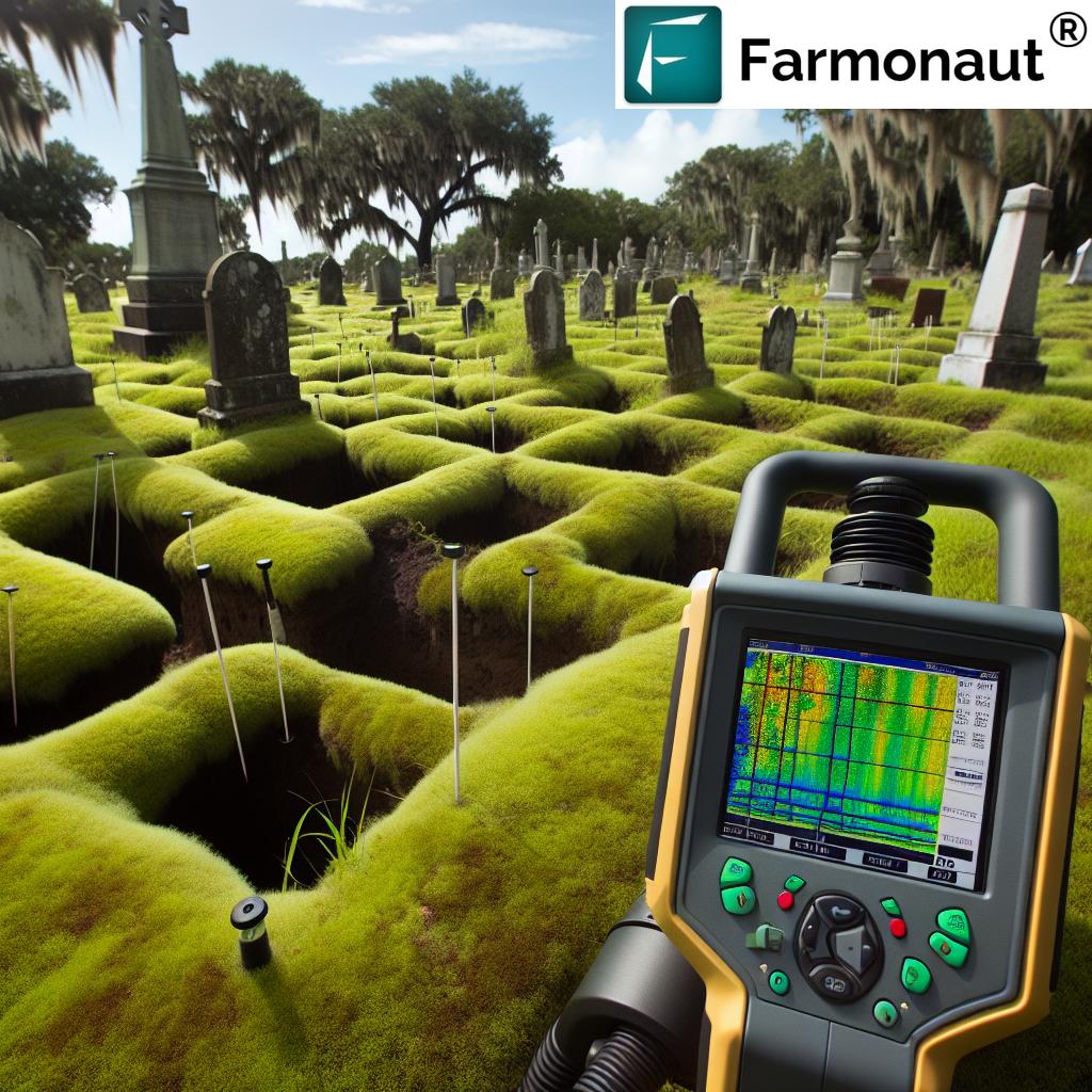
Ground penetrating radar is a non-invasive geophysical method that uses radar pulses to image the subsurface. It works by transmitting high-frequency radio waves into the ground, which then reflect off of subsurface features like buried objects or changes in soil layers. The receiver antenna detects these reflections and creates an image of what lies beneath the surface based on the strength and timing of the returning signals.
“Ground Penetrating Radar uses radio waves with frequencies between 10 MHz and 2.6 GHz to create detailed images of underground structures.”
In essence, GPR allows us to “see” underground without disturbing the soil. This technology is particularly valuable in sensitive areas like cemeteries, where traditional excavation methods could be disruptive or even illegal.
The Science Behind GPR: Unraveling Underground Mysteries
To truly appreciate the power of GPR in this investigation, we need to understand its inner workings. The technology relies on the principle that different materials in the ground have varying electrical properties. When the radar waves encounter these different materials or interfaces between materials, they reflect back to the surface at different velocities and amplitudes.
In the context of a cemetery investigation, GPR can detect:
- Disturbed soil layers, which might indicate a burial site
- Voids or cavities, potentially representing empty coffins or burial chambers
- Metal objects, such as coffin hardware or personal effects
- Changes in soil composition, which could be due to decomposition processes
The data collected by the GPR system is then processed and interpreted by experts, who can create detailed subsurface maps and identify areas of interest for further investigation.
GPR in Action: The Crescent City Investigation
As we await the University of Florida’s response to the law enforcement’s request, it’s worth considering how GPR might be applied in this specific case. Dr. Phoebe R. Stubblefield, the Interim Director of the C.A. Pound Human Identification Laboratory at the University of Florida, provides valuable insights:
“Ground penetrating radar is a tool for examining subsurface structures, or if there is subsurface structure. So you look at the ground and you see ground, but wonder what’s beneath there and so before you go to the trouble of digging, ground penetrating radar can help shortcut that process, the digging process, by showing perhaps, that there’s been disturbances under the ground. It doesn’t show you what caused the disturbance or what the disturbance itself is, but it shows you that, hey, the soil is not smooth under the ground.”
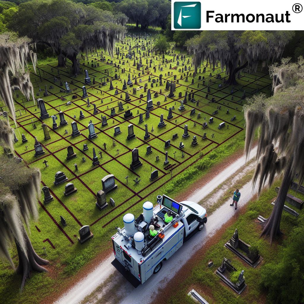
In the Crescent City case, GPR could help identify areas where the soil has been disturbed, potentially indicating the presence of graves. It could also detect any remaining buried structures or objects that might have survived the recent land clearing.

The Broader Impact: GPR in Historical Preservation and Forensics
The use of GPR in the Crescent City investigation is just one example of how this technology is revolutionizing historical site preservation and forensic applications. Across the globe, GPR is being employed to:
- Locate and map unmarked graves in historic cemeteries
- Identify buried archaeological features without excavation
- Assist in forensic investigations, such as locating clandestine graves
- Survey historical sites for hidden structures or artifacts
- Monitor the condition of known burial sites over time
The non-invasive nature of GPR makes it an invaluable tool in situations where physical disturbance of the site is not possible or desirable. This is particularly crucial in cases involving indigenous burial grounds, where cultural sensitivity is paramount.
Comparative Analysis: GPR vs. Traditional Archaeological Methods
To fully appreciate the revolutionary nature of GPR in archaeological investigations, let’s compare it to other common methods:
| Method | Non-invasiveness | Depth of Investigation | Accuracy |
|---|---|---|---|
| Ground Penetrating Radar (GPR) | High | 0-10 meters | 80-95% |
| Traditional Excavation | Low | Variable | High (but destructive) |
| Aerial Photography | High | Surface only | Moderate |
| Magnetic Survey | High | 0-2 meters | 70-85% |
As we can see, GPR offers a unique combination of non-invasiveness, depth capability, and accuracy that makes it particularly well-suited for cemetery investigations and other sensitive archaeological projects.
Challenges and Limitations of GPR Technology
While GPR is a powerful tool, it’s important to understand its limitations. Some challenges include:
- Interpretation complexity: GPR data requires expert analysis to interpret accurately
- Soil conditions: Certain soil types, particularly clay or highly conductive soils, can limit GPR effectiveness
- Depth limitations: While GPR can penetrate deep in ideal conditions, its effectiveness decreases with depth
- Resolution trade-offs: Higher frequency GPR provides better resolution but less depth penetration, and vice versa
Despite these challenges, the benefits of GPR in archaeological and forensic investigations far outweigh its limitations, especially when combined with other investigative methods.
The Future of GPR in Historical Investigations
As technology advances, we can expect to see even more sophisticated applications of GPR in historical and archaeological investigations. Some exciting developments on the horizon include:
- Integration with AI and machine learning for improved data interpretation
- Combination with other non-invasive technologies like LiDAR for more comprehensive site mapping
- Development of more portable and user-friendly GPR systems for wider adoption
- Advancements in 3D visualization techniques for better data presentation
These advancements promise to make GPR an even more powerful tool in our quest to uncover and preserve our historical heritage.
The Role of Technology in Preserving Our Past
The Crescent City cemetery investigation serves as a powerful reminder of the crucial role that technology plays in preserving our historical heritage. As we continue to develop and refine tools like GPR, we enhance our ability to uncover, understand, and protect the remnants of our past.
For those interested in exploring cutting-edge technologies in other fields, such as agriculture, Farmonaut offers innovative satellite-based farm management solutions. While not directly related to archaeological investigations, Farmonaut’s use of advanced technology to monitor and manage agricultural land showcases how different sectors can benefit from technological advancements.
For those interested in leveraging satellite technology for agricultural purposes, Farmonaut provides detailed API Developer Docs and access to their API.
Conclusion: The Power of Non-Invasive Archaeology
As we await the results of the GPR survey in Crescent City, we’re reminded of the delicate balance between progress and preservation. The use of ground penetrating radar in this investigation exemplifies how modern technology can help us uncover and protect our historical heritage without causing further disturbance.
The potential of GPR extends far beyond this single case. It represents a shift in how we approach archaeological investigations, offering a non-invasive method to peek into the past. As we continue to refine and expand the use of GPR and other non-invasive technologies, we open new doors to understanding our history while respecting the sanctity of historical sites.
In the end, the story of the Crescent City cemetery investigation is not just about solving a mystery. It’s about embracing innovative tools that allow us to be better stewards of our shared history. As we move forward, let’s continue to support and utilize technologies that help us unlock the secrets of our past while preserving them for future generations.
FAQs
- What is Ground Penetrating Radar (GPR)?
GPR is a non-invasive geophysical method that uses radar pulses to image the subsurface. It can detect objects, changes in material, and structures below the ground surface. - How deep can GPR detect objects?
The depth range of GPR varies depending on the soil conditions and the frequency of the radar used. Typically, it can detect objects up to 10-15 meters deep, but in ideal conditions, it can reach depths of up to 100 feet. - Is GPR always accurate in detecting graves?
While GPR is highly effective, its accuracy can be affected by factors such as soil composition, moisture content, and the age of the burial. It’s most accurate when used in conjunction with other investigative methods. - Can GPR distinguish between different types of buried objects?
GPR can detect differences in material properties, which allows experts to distinguish between various types of buried objects. However, precise identification often requires interpretation by experienced professionals. - Is GPR harmful to the environment or human health?
No, GPR is non-invasive and uses low-power radio waves that are not harmful to the environment or human health.
Earn With Farmonaut: Affiliate Program
Earn 20% recurring commission with Farmonaut’s affiliate program by sharing your promo code and helping farmers save 10%. Onboard 10 Elite farmers monthly to earn a minimum of $148,000 annually—start now and grow your income!


