Empowering Agriculture with Farmonaut: Revolutionizing Farming through Satellite and Weather Data

In the ever-evolving landscape of agriculture, technology plays a pivotal role in shaping the future of farming. At Farmonaut, we’re at the forefront of this revolution, providing innovative solutions that empower farmers and key stakeholders in the agriculture industry. Our mission is to make precision agriculture accessible and affordable to farmers worldwide, and we’re excited to share how our technology is making a significant impact in the field.
Farmonaut: Pioneering Agricultural Technology
Farmonaut is a cutting-edge agricultural technology company that offers advanced, satellite-based farm management solutions. We integrate innovative technology and data-driven insights into traditional farming practices, making precision agriculture a reality for farmers of all scales. Our platform provides a range of valuable services, including:
- Real-time crop health monitoring
- AI-based advisory systems
- Blockchain-based traceability
- Resource management tools
These technologies work together to address various agricultural challenges and optimize farming practices.
The Power of Satellite and Weather Data in Agriculture
At the heart of our technology lies the Farmonaut® Satellite + Weather Data API. This powerful tool provides a wealth of information that can revolutionize farming practices. Let’s delve into the specifics of what our API offers:
Satellite Data
Our API provides a comprehensive range of satellite data, including:
- NDVI (Normalized Difference Vegetation Index)
- NDWI (Normalized Difference Water Index)
- EVI (Enhanced Vegetation Index)
- VARI (Visible Atmospherically Resistant Index)
- SOC (Soil Organic Carbon)
- TCI (Temperature Condition Index)
- ETCI (Evapotranspiration Condition Index)
- NDMI (Normalized Difference Moisture Index)
- Evapotranspiration
- DEM (Digital Elevation Model)
- RADAR
- HYBRID
This extensive array of data allows for detailed crop and soil monitoring using AI, providing farmers with unprecedented insights into their fields.
Weather Data
In addition to satellite data, our API provides “weather data for all fields” submitted by an organization. This comprehensive weather information includes:
- Temperature (current, min, max)
- Humidity
- Wind speed and direction
- Precipitation
- Cloud cover
- UV index
By combining satellite and weather data, farmers can make more informed decisions about irrigation, planting, harvesting, and other critical farming activities.
Farmology: A Case Study in Agricultural Innovation
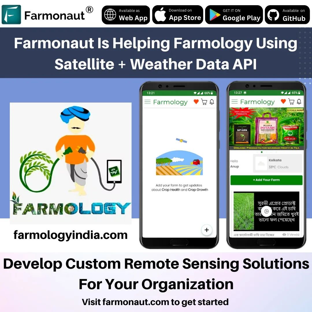
To illustrate the power of our Satellite + Weather Data API, let’s look at how Farmology, a leading farming technology company, is utilizing our services to empower farmers and revolutionize agricultural practices.
About Farmology
Farmology is a prime example of how the Farmonaut® Satellite + Weather Data API can be used to create innovative and effective solutions in agriculture. They provide a range of services, including:
- Knowledge and advisory services
- Organic and sustainable inputs
- Crop and soil health monitoring
- Produce selling
How Farmology Leverages Farmonaut’s API
By integrating our API into their platform, Farmology is able to provide their farmers with reliable and accurate data to make informed decisions. This integration allows them to:
- Monitor crop health in real-time
- Track soil moisture levels
- Analyze weather patterns and their impact on crops
- Provide personalized recommendations for crop management
- Optimize resource usage, including water and fertilizers
The result is a more efficient, productive, and sustainable farming operation that benefits both the farmers and the environment.
The Benefits of Using Farmonaut’s API
The integration of our Satellite + Weather Data API into platforms like Farmology’s offers numerous benefits:
1. Data-Driven Decision Making
Our API provides reliable data to make informed decisions. Farmers can access real-time information about their fields, allowing them to respond quickly to changing conditions and optimize their farming practices.
2. Improved Crop Yield
By monitoring crop health and environmental conditions, farmers can identify potential issues early and take preventive measures. This proactive approach can lead to significant improvements in crop yield.
3. Resource Optimization
With detailed data on soil moisture, weather conditions, and crop health, farmers can optimize their use of water, fertilizers, and other resources. This not only reduces costs but also promotes sustainable farming practices.
4. Environmental Benefits
By enabling more efficient resource use and promoting sustainable practices, our technology helps reduce the environmental impact of farming. This is crucial in an era where agriculture needs to balance productivity with environmental conservation.
5. Accessibility
Our technology is not only accessible to grassroots farmers but is also being used by large corporates and startups alike. This democratization of precision agriculture technology is helping to level the playing field in the agricultural sector.
Farmonaut’s Impact Across the Agricultural Sector
The versatility and effectiveness of our Satellite + Weather Data API have attracted a diverse range of users across the agricultural sector. Some of our prominent API users include:
- Godrej Agrovet
- ZR3I Egypt
- FASHION FOR BIO-DIVERSITY, Germany
- AGxactly Canada
- TROFORTE Australia
- UBINCORE
- Kisanwala
This diverse user base demonstrates the wide-ranging applicability of our technology across different agricultural contexts and geographical regions.
Farmonaut vs. Traditional Farm Monitoring Methods
To better understand the advantages of our satellite-based system, let’s compare it to traditional farm monitoring methods like drones and IoT devices:
| Feature | Farmonaut Satellite System | Drone-based Monitoring | IoT-based Monitoring |
|---|---|---|---|
| Coverage Area | Large scale (global) | Limited (local) | Limited (local) |
| Data Frequency | Regular (as per satellite pass) | On-demand (requires manual flight) | Continuous |
| Initial Setup Cost | Low | High | Medium to High |
| Maintenance | Minimal | Regular (battery, repairs) | Regular (battery, sensor calibration) |
| Weather Dependency | Low (can penetrate clouds) | High (affected by wind, rain) | Low |
| Data Analysis | Advanced AI-powered analytics | Requires separate analysis tools | Real-time but limited in scope |
| Scalability | Highly scalable | Limited by drone fleet size | Limited by number of sensors |
As you can see, our satellite-based system offers significant advantages in terms of coverage, cost-effectiveness, and scalability.
The Future of Agriculture with Farmonaut
The agriculture industry is in constant need of innovative and effective solutions, and Farmonaut’s API is a significant step in the right direction. By providing reliable data, we’re enabling farmers and key stakeholders in the industry to make informed decisions that not only benefit their businesses but also contribute to a more sustainable future for agriculture.
As we continue to develop and refine our technology, we envision a future where:
- Precision agriculture becomes the norm rather than the exception
- Farmers of all scales have access to advanced monitoring and advisory tools
- Agricultural productivity increases while environmental impact decreases
- Data-driven decision making leads to more resilient and sustainable farming practices
Join the Agricultural Revolution with Farmonaut
If you’re a farming startup or business looking to develop custom remote sensing solutions, Farmonaut’s Satellite + Weather Data API is an invaluable resource. We invite you to join us in our mission to create a more sustainable and productive future for agriculture.
To get started with our API and explore its possibilities, visit our API portal. For detailed information on how to integrate and use our API, check out our comprehensive API documentation.
You can also experience the power of Farmonaut directly through our mobile apps:
- For Android users: Download from Google Play
- For iOS users: Download from the App Store
Ready to transform your agricultural operations? Visit our website to learn more and start your journey towards smarter, more sustainable farming.
Subscribe to Farmonaut
Take the first step towards revolutionizing your farming practices by subscribing to Farmonaut. Our flexible pricing plans cater to farms of all sizes and needs.
Frequently Asked Questions (FAQ)
Q: What is Farmonaut?
A: Farmonaut is an agricultural technology company that provides advanced, satellite-based farm management solutions. We offer services such as real-time crop health monitoring, AI-based advisory systems, and resource management tools to make precision agriculture accessible and affordable for farmers worldwide.
Q: How does Farmonaut’s Satellite + Weather Data API work?
A: Our API combines satellite imagery and weather data to provide comprehensive insights into crop health, soil moisture, and environmental conditions. It offers various indices like NDVI, NDWI, and EVI, along with detailed weather information for all fields submitted by an organization.
Q: Who can benefit from using Farmonaut’s technology?
A: Our technology is designed for a wide range of users, including individual farmers, large agribusinesses, government agencies, NGOs, and agricultural startups. It’s scalable and adaptable to various farming contexts and needs.
Q: How does Farmonaut promote sustainable farming?
A: By providing precise data on crop health and environmental conditions, Farmonaut enables farmers to optimize their use of resources like water and fertilizers. This leads to more efficient farming practices that are both economically and environmentally sustainable.
Q: Is Farmonaut’s technology accessible to small-scale farmers?
A: Yes, we’ve designed our technology to be accessible and affordable for farmers of all scales. Our satellite-based approach eliminates the need for expensive on-ground equipment, making precision agriculture more democratic.
Q: How can I start using Farmonaut’s API?
A: You can start by visiting our API portal and reviewing our API documentation. If you’re ready to integrate our API into your systems, you can sign up and obtain your API key to get started.
Q: Does Farmonaut offer mobile applications?
A: Yes, we have mobile apps available for both Android and iOS platforms. You can download them from the Google Play Store or the Apple App Store.
Q: How does Farmonaut compare to drone-based or IoT-based farm monitoring?
A: Farmonaut’s satellite-based system offers several advantages over drone and IoT-based monitoring, including larger coverage area, lower setup and maintenance costs, and better scalability. It’s also less weather-dependent and provides more comprehensive data analysis.
Q: Can Farmonaut’s technology be integrated with existing farm management systems?
A: Yes, our API is designed to be flexible and can be integrated with various farm management systems. This allows businesses to enhance their existing solutions with our advanced satellite and weather data.
Q: How frequently is the satellite data updated?
A: The frequency of data updates depends on the satellite pass and the specific service tier you choose. Generally, we provide updates every few days, ensuring you have access to recent and relevant data for your fields.
We hope this FAQ section has answered some of your questions about Farmonaut and our innovative agricultural solutions. If you have any further queries, don’t hesitate to reach out to our support team. We’re here to help you revolutionize your farming practices and contribute to a more sustainable future for agriculture.
