Revolutionizing Australian Agriculture: Farmonaut’s Satellite Crop Monitoring for Precision Farming in Queensland
“Farmonaut’s satellite crop monitoring covers over 7.7 million square kilometers of diverse Australian agricultural land.”
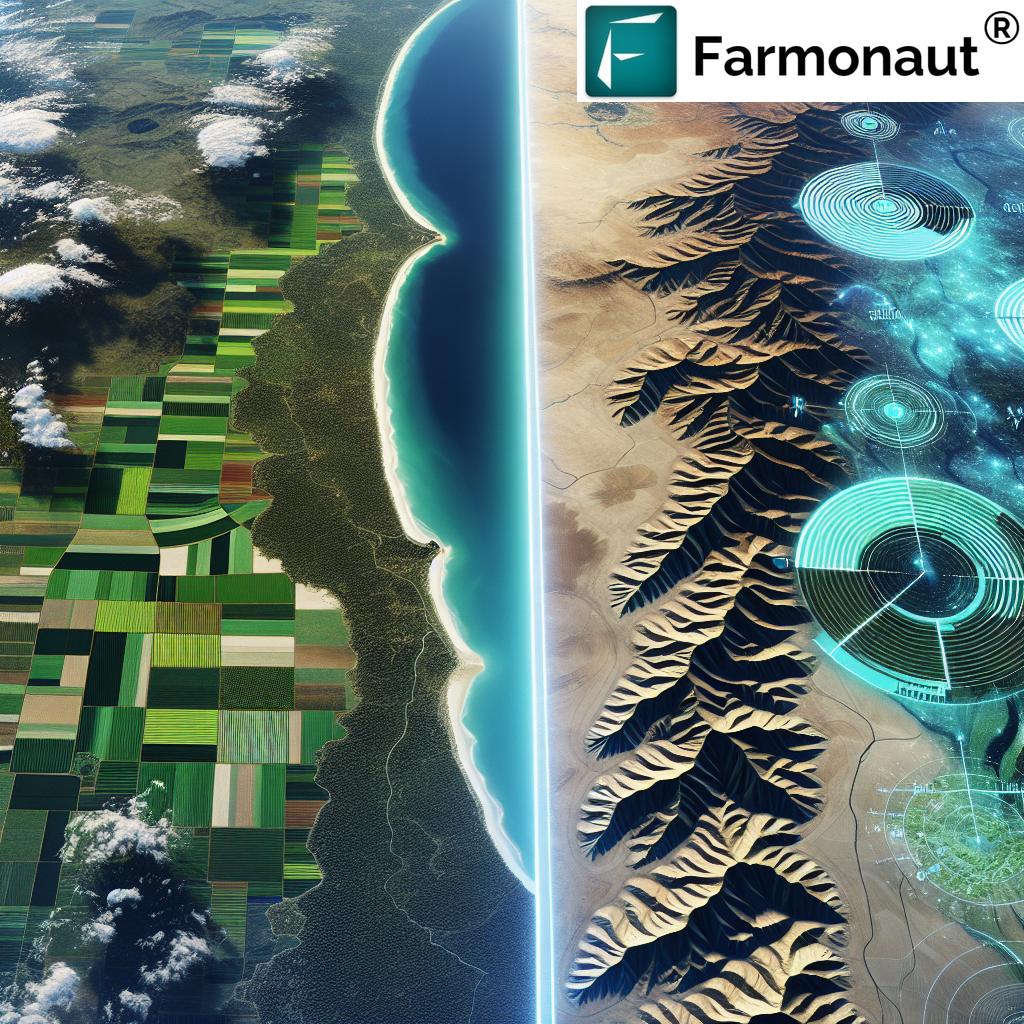
As we delve into the world of precision agriculture technology, we’re witnessing a remarkable transformation across Australia’s vast and varied landscapes. From the sun-drenched Gold Coast to the rugged terrains of the Northern Territory, Farmonaut’s innovative satellite crop monitoring solutions are reshaping the way we approach farming in the 21st century. In this comprehensive exploration, we’ll uncover how our cutting-edge farm management software is empowering farmers from the Sunshine Coast to Townsville and beyond, optimizing crop yields and promoting sustainable agriculture practices.
The Dawn of Precision Agriculture in Queensland
Queensland, with its diverse climate zones and agricultural regions, stands at the forefront of Australia’s agricultural revolution. From the tropical north to the temperate south, farmers across the Sunshine State are embracing smart farming solutions to address the unique challenges posed by their environments.
In the Western Downs and along the Capricorn Coast, soil health analysis techniques powered by Farmonaut’s satellite technology are providing farmers with unprecedented insights into their land. This data-driven approach allows for more precise application of nutrients and water, leading to healthier crops and reduced environmental impact.
Satellite Crop Monitoring: A Game-Changer for Australian Farmers
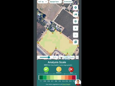
At the heart of Farmonaut’s offering is our advanced satellite crop monitoring system. This technology provides real-time insights into crop health, allowing farmers to:
- Detect early signs of pest infestations or disease outbreaks
- Optimize irrigation schedules based on precise soil moisture data
- Identify areas of nutrient deficiency for targeted fertilizer application
- Monitor crop growth stages to time harvests perfectly
From the Whitsunday region to the Fraser Coast, farmers are leveraging these insights to make informed decisions that boost productivity while conserving resources. Our platform’s user-friendly interface makes it easy for farmers of all tech levels to harness the power of satellite data.
Ready to revolutionize your farming practices? Download our app now:
Digital Farm Planning for Sustainable Agriculture
In regions like the Whitsunday and Fraser Coast, digital farm planning is becoming an essential tool for sustainable agriculture. Farmonaut’s platform enables farmers to:
- Create detailed farm maps with field boundaries and crop types
- Plan crop rotations to maintain soil health
- Analyze historical yield data to inform future planting decisions
- Integrate weather forecasts for proactive farm management
By adopting these digital strategies, farmers are not only improving their yields but also contributing to the long-term health of their land and the surrounding ecosystems.
Enhancing Decision-Making with Agricultural Drone Applications
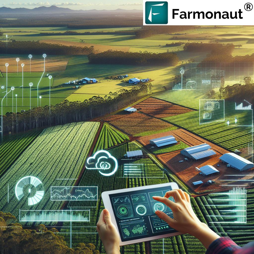
While satellite imagery provides a broad overview, agricultural drone applications offer a complementary close-up view of crop conditions. From Geelong to Cairns, farmers are integrating drone technology with Farmonaut’s platform to:
- Capture high-resolution images for detailed crop analysis
- Perform targeted pest scouting missions
- Assess storm damage quickly and accurately
- Create 3D terrain models for precision land leveling
This multi-layered approach to data collection allows for more nuanced decision-making, especially in areas with complex topography or diverse crop varieties.
“Precision farming techniques in Queensland have increased crop yields by up to 15% in some regions.”
Soil Health Analysis: The Foundation of Productive Farming
Understanding and maintaining soil health is crucial for sustainable agriculture. In regions like the Western Downs and Capricorn Coast, Farmonaut’s soil health analysis tools are helping farmers:
- Monitor soil organic matter levels
- Track changes in soil pH over time
- Identify areas prone to erosion or compaction
- Optimize fertilizer application based on soil nutrient profiles
By focusing on soil health, farmers are not only improving their current yields but also ensuring the long-term viability of their operations.
Crop Yield Optimization: From Coast to Outback
Maximizing crop yields while minimizing resource use is a key goal for farmers across Australia. Farmonaut’s smart farming solutions are helping achieve this balance from the coastal plantations of the Gold Coast to the inland properties of the Northern Territory. Our platform enables:
- Precision application of water and nutrients
- Early detection and management of crop stress
- Optimization of planting and harvesting schedules
- Implementation of variable rate technology for inputs
These strategies are particularly crucial in areas facing water scarcity or extreme weather conditions, allowing farmers to make the most of every drop of water and grain of fertilizer.
Harness the power of precision agriculture with Farmonaut’s web application:
Remote Sensing in Agriculture: Bridging the Gap Between Technology and Tradition
Remote sensing technology is revolutionizing agriculture across Australia, from the Sunshine Coast to the Northern Territory. Farmonaut’s platform leverages this technology to provide:
- Accurate crop classification and area estimation
- Vegetation health indices for early stress detection
- Soil moisture maps for optimized irrigation
- Yield prediction models based on historical and real-time data
By integrating these advanced remote sensing capabilities with traditional farming knowledge, we’re helping Australian farmers make more informed decisions and adapt to changing environmental conditions.
Sustainable Agriculture Practices for a Resilient Future
As climate change poses new challenges to agriculture, sustainable farming practices are more important than ever. Farmonaut’s technology supports sustainable agriculture by:
- Reducing water usage through precision irrigation
- Minimizing chemical inputs with targeted application
- Promoting soil conservation through informed land management
- Enabling carbon footprint tracking for environmentally conscious farming
From the Whitsunday region to the Western Downs, farmers are using these tools to not only improve their bottom line but also to become better stewards of the land.
The Future of Farming: Reshaping Rural Landscapes
As we look to the future, it’s clear that precision agriculture technology will continue to reshape rural landscapes across Australia. Farmonaut is at the forefront of this transformation, offering solutions that:
- Empower small and large-scale farmers alike
- Promote sustainable land use and conservation
- Enhance food security through improved crop yields
- Support data-driven decision making at all levels of agriculture
From the Gold Coast to Cairns, and from Toowoomba to the Northern Territory, we’re committed to providing Australian farmers with the tools they need to thrive in an ever-changing agricultural landscape.
Australian Regions and Farmonaut’s Precision Agriculture Solutions
| Region Name | Primary Agricultural Challenges | Farmonaut Solutions Implemented | Estimated Crop Yield Improvement (%) | Key Benefits for Farmers |
|---|---|---|---|---|
| Gold Coast | Water scarcity, urban encroachment | Precision irrigation, land use optimization | 10-12% | Water conservation, efficient land use |
| Northern Territory | Extreme heat, soil degradation | Heat stress monitoring, soil health analysis | 8-10% | Improved crop resilience, soil restoration |
| Sunshine Coast | Pest management, variable rainfall | Pest detection algorithms, weather integration | 12-15% | Reduced crop losses, optimized planting schedules |
| Western Downs | Drought, soil erosion | Drought-resistant crop selection, erosion mapping | 9-11% | Increased drought tolerance, soil conservation |
| Capricorn Coast | Cyclone damage, salinity | Crop damage assessment, salinity monitoring | 7-9% | Faster recovery from extreme weather, improved soil management |
| Whitsunday Region | Tourism impact, coastal erosion | Land use planning, coastal vegetation monitoring | 6-8% | Balanced agriculture-tourism development, coastal protection |
| Fraser Coast | Flooding, nutrient runoff | Flood prediction models, nutrient management | 10-13% | Reduced flood damage, improved water quality |
| Townsville | Heat waves, water quality | Thermal stress monitoring, water quality analysis | 11-14% | Enhanced crop heat tolerance, efficient water use |
Empowering Farmers with Data-Driven Insights
At the core of Farmonaut’s mission is the belief that data-driven insights can transform agriculture. Our platform provides farmers with:
- Real-time crop health monitoring
- Predictive analytics for yield forecasting
- Customized alerts for potential issues
- Historical data analysis for long-term planning
By putting these powerful tools in the hands of farmers from Buderim to Ballina, we’re enabling more informed decision-making and helping to secure the future of Australian agriculture.
For developers looking to integrate our technology into their own solutions, explore our API:
Adapting to Climate Change: Resilience Through Technology
Climate change poses significant challenges to Australian agriculture, from increased frequency of droughts to shifting growing seasons. Farmonaut’s precision agriculture technology is helping farmers adapt by:
- Providing early warning systems for extreme weather events
- Facilitating the selection of climate-appropriate crop varieties
- Enabling precise water management in drought-prone areas
- Supporting the implementation of climate-smart farming practices
From the Burnett region to the Tasmanian coast, our tools are empowering farmers to build resilience in the face of climate uncertainty.
Farmonaut: Your Partner in Precision Agriculture
As we continue to innovate and expand our services, Farmonaut remains committed to being a trusted partner for Australian farmers. Our comprehensive suite of tools, from satellite crop monitoring to advanced analytics, is designed to meet the diverse needs of agriculture across the continent.
Whether you’re managing a small family farm in Caboolture or overseeing large-scale operations in the Northern Territory, Farmonaut’s precision agriculture technology is here to help you optimize your yields, conserve resources, and build a sustainable future for Australian agriculture.
Frequently Asked Questions
Q: How does Farmonaut’s satellite crop monitoring work?
A: Farmonaut uses multispectral satellite imagery to analyze crop health, soil moisture, and other key indicators. This data is processed using advanced algorithms to provide actionable insights to farmers.
Q: Can Farmonaut’s technology be used for all types of crops?
A: Yes, our technology is applicable to a wide range of crops, from grains and legumes to fruits and vegetables. The system can be customized to monitor specific crop types and growth stages.
Q: How often is satellite data updated?
A: Depending on the subscription plan, satellite data can be updated as frequently as every 1-3 days, ensuring farmers have access to timely information.
Q: Is Farmonaut’s platform suitable for small-scale farmers?
A: Absolutely. We offer scalable solutions that cater to farms of all sizes, making precision agriculture accessible to small-scale farmers as well as large agribusinesses.
Q: How can I get started with Farmonaut?
A: You can start by downloading our mobile app or signing up for our web platform. We offer various subscription options to suit different needs and farm sizes.
Conclusion: Embracing the Future of Farming
As we’ve explored throughout this article, Farmonaut’s precision agriculture technology is revolutionizing farming practices across Australia. From the Gold Coast to the Northern Territory, and from the Sunshine Coast to Townsville, our satellite crop monitoring and smart farming solutions are helping farmers optimize their operations, increase yields, and promote sustainable agriculture.
By leveraging cutting-edge technology like remote sensing, AI-driven analytics, and digital farm planning, we’re empowering farmers to make data-driven decisions that not only improve their bottom line but also contribute to the long-term health of their land and the environment.
As climate change and other challenges continue to shape the agricultural landscape, Farmonaut remains committed to innovation and adaptation. We’re constantly refining our tools and developing new solutions to help Australian farmers thrive in an ever-changing world.
Join us in embracing the future of farming. Whether you’re in Geelong or Cairns, Toowoomba or the Whitsunday region, Farmonaut is here to support your journey towards more efficient, productive, and sustainable agriculture.
Ready to transform your farming practices? Explore our subscription options below:
Together, let’s cultivate a brighter future for Australian agriculture, one precision-driven decision at a time.
