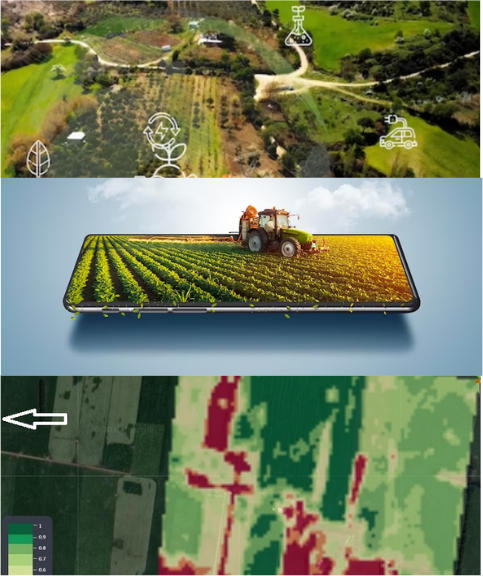
- SATELLITE ANALYTICS
- GEO-TAGGING
- FARMER DATA COLLECTION

For the past two years, Farmonaut has been engaged in a Farm Digitization initiative. During when, Farmonaut achieved significant strides and have digitized more than 160,000 farms using multiple platforms and services such as Farmonaut’s Android app, iOS app, web app, API, and white-label products. Our cutting-edge Farmonaut® technologies drive our speedy, dependable, and secure system.
The digitization services of Farmonaut include:
- analytics-ready satellite data with 18+ satellite parameters
- easy farm mapping tools
- a robust farmer data collection system
The digitization of farms is a crucial step towards achieving sustainable agriculture practices, and Farmonaut’s services make this process accessible to farmers worldwide. Through their various platforms, farmers can access essential information about their crops and land, including soil health, nutrient deficiencies, and potential disease outbreaks. The platforms that make Farmonaut’s services accesible to public include :
Mobile Application:
Farmonaut’s mobile application is a user-friendly platform that enables farmers to access critical information about their crops and land. The app uses satellite imagery and machine learning algorithms to analyze crop health and provide recommendations for optimal crop management. Farmers can also use the app to track weather patterns and receive alerts about potential weather-related risks to their crops.Web Portal:
Farmonaut’s web portal provides a more in-depth view of farmers’ land and crops. The portal allows farmers to view detailed maps of their farms, including soil health, topography, and vegetation index. Farmers can also access historical data about their crops and use this information to make informed decisions about future crop management. access the portal: https://farmonaut.com/Drone Technology:
Farmonaut utilizes drones equipped with cameras and sensors to capture high-resolution images of crops and land. These images can be used to generate 3D maps and identify crop health issues. This technology allows farmers to identify issues quickly and accurately, leading to improved crop yield and reduced waste.Soil Health Analysis:
Farmonaut’s soil health analysis services utilize machine learning algorithms to analyze soil samples and provide recommendations for optimal nutrient management. This service helps farmers identify nutrient deficiencies and reduce the use of fertilizers, leading to a more sustainable agriculture practice.Crop Monitoring:
Farmonaut’s crop monitoring services use satellite imagery and machine learning algorithms to track crop growth and health. This information can be used to identify potential disease outbreaks, optimize irrigation and fertilization practices, and improve crop yield.