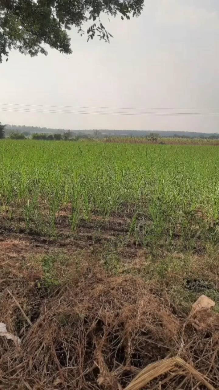
Sugarcane Farm Mapping in West Bengal: A Comprehensive Exploration of Precision Agriculture

At Farmonaut, we’re excited to share our latest endeavor in the realm of precision agriculture. We’re currently engaged in an extensive sugarcane farm mapping project in West Bengal, India. This initiative is not just about mapping; it’s a significant step towards revolutionizing sugarcane cultivation and yield estimation across India, with a particular focus on the Karnataka region.
The Importance of Sugarcane Mapping
Sugarcane is a crucial crop in India, contributing significantly to the country’s agricultural output and economy. Accurate mapping and estimation of sugarcane farms are essential for several reasons:
- Improved resource allocation
- Better crop management
- Enhanced yield predictions
- Informed policy-making
- Efficient supply chain management
Our project in West Bengal is laying the groundwork for a more comprehensive understanding of sugarcane cultivation patterns, challenges, and opportunities.
Ground Truthing: The Foundation of Accurate Mapping
At the heart of our mapping project is the process of ground truthing. This critical step involves collecting real-world data to verify and calibrate our satellite-based observations. Here’s why ground truthing is so important:
- Accuracy Validation: It helps us confirm the accuracy of our satellite imagery interpretations.
- Data Calibration: Ground data allows us to fine-tune our algorithms for better performance.
- Local Context: It provides insights into local farming practices and conditions that may not be visible from satellite imagery alone.
- Identifying Anomalies: Ground truthing can reveal discrepancies between satellite data and actual field conditions, helping us improve our models.
Leveraging Advanced Technologies for Sugarcane Mapping
At Farmonaut, we employ a suite of cutting-edge technologies to ensure our sugarcane mapping is as accurate and comprehensive as possible:
1. Satellite Imagery Analysis
We use high-resolution multispectral satellite imagery to capture detailed views of sugarcane fields. This allows us to:
- Identify sugarcane cultivation areas
- Assess crop health through vegetation indices like NDVI
- Monitor crop growth stages
- Detect potential issues such as pest infestations or nutrient deficiencies
2. Machine Learning and AI
Our advanced machine learning algorithms process vast amounts of satellite data to:
- Automatically classify land use and identify sugarcane fields
- Predict crop yields based on historical data and current conditions
- Detect anomalies that might indicate crop stress or disease
3. GIS Integration
Geographic Information Systems (GIS) play a crucial role in our mapping process:
- Creating detailed, layered maps of sugarcane cultivation areas
- Integrating various data sources (satellite imagery, ground truth data, weather information)
- Analyzing spatial patterns and relationships in sugarcane cultivation
4. Remote Sensing Techniques
We employ advanced remote sensing techniques to gather data on:
- Soil moisture levels
- Crop stress indicators
- Biomass estimation
- Land surface temperature
The Farmonaut Advantage: Why Our Approach Stands Out
Our satellite-based farm monitoring system offers several advantages over traditional methods like drone surveys or IoT sensors:
| Feature | Farmonaut Satellite System | Drone-based Monitoring | IoT-based Monitoring |
|---|---|---|---|
| Coverage Area | Large scale (thousands of hectares) | Limited (few hundred hectares) | Localized (specific points) |
| Frequency of Data Collection | Regular (every few days) | On-demand (requires manual flights) | Continuous (but limited points) |
| Cost-effectiveness | High (no hardware required) | Moderate (drone purchase and operation costs) | Low (high sensor and maintenance costs) |
| Ease of Deployment | Immediate (cloud-based) | Requires planning and skilled operators | Requires physical installation and maintenance |
| Data Processing | Automated (AI-driven) | Semi-automated (requires post-processing) | Automated (but limited to sensor locations) |
Applying Our Findings: From West Bengal to Karnataka
While our current mapping efforts are focused on West Bengal, the ultimate goal is to apply our learnings and methodologies to estimate sugarcane areas in Karnataka. This transfer of knowledge and technology is crucial for several reasons:
- Regional Adaptation: By conducting ground truthing in West Bengal, we can fine-tune our algorithms to better account for regional variations in sugarcane cultivation practices.
- Model Validation: The data collected in West Bengal serves as a valuable training set for our machine learning models, which can then be applied and further refined for use in Karnataka.
- Improved Accuracy: The insights gained from our West Bengal project will enhance the accuracy of our sugarcane area estimations in Karnataka.
- Scalability: Successfully mapping sugarcane in diverse regions demonstrates the scalability of our approach, paving the way for nationwide implementation.
The Impact on Sugarcane Yield Estimation
Accurate sugarcane area estimation is just the first step. Our technology also plays a crucial role in estimating sugarcane yields. Here’s how our mapping and data analysis contribute to better yield predictions:
1. Historical Yield Data Integration
We integrate historical yield data with our current observations to create more accurate predictive models. This allows us to account for long-term trends and cyclical patterns in sugarcane production.
2. Real-time Crop Health Monitoring
Our satellite-based monitoring provides real-time insights into crop health, allowing for early detection of issues that might impact yield, such as:
- Pest infestations
- Disease outbreaks
- Nutrient deficiencies
- Water stress
3. Weather Data Correlation
By correlating our crop health data with weather patterns, we can:
- Predict the impact of upcoming weather events on yield
- Provide timely advisories to farmers for weather-related interventions
- Improve long-term yield forecasts by accounting for climate trends
4. Machine Learning for Yield Prediction
Our advanced machine learning algorithms process vast amounts of data to generate accurate yield predictions, considering factors such as:
- Crop growth stage
- Historical yields
- Current crop health
- Weather forecasts
- Soil conditions
Addressing Sugarcane Cultivation Challenges
Our mapping and monitoring technologies are not just about estimation; they’re powerful tools for addressing common challenges in sugarcane cultivation. Here’s how we’re making a difference:
Pest Management
Pests can significantly impact sugarcane yields. Our system helps in early detection and management of pest issues:
- Early Detection: Satellite imagery can reveal patterns indicative of pest infestations before they become visible to the naked eye.
- Targeted Interventions: By pinpointing affected areas, we enable farmers to apply pest control measures precisely where needed, reducing overall pesticide use.
- Monitoring Effectiveness: Our continuous monitoring allows farmers to track the effectiveness of pest control measures over time.
For more information on sugarcane pests and their management, farmers can refer to resources provided by the Tamil Nadu Agricultural University (TNAU) at their official website.
Disease Management
Sugarcane diseases can spread rapidly if not caught early. Our technology aids in disease management through:
- Spectral Analysis: Different diseases often have unique spectral signatures that can be detected through our multispectral imagery.
- Pattern Recognition: Our AI algorithms can identify patterns associated with specific diseases, allowing for rapid response.
- Spread Prediction: By analyzing the progression of diseased areas over time, we can predict potential disease spread and advise on containment strategies.
Farmers looking for detailed information on sugarcane diseases and their treatment can find valuable resources on the TNAU website’s dedicated sugarcane disease section.
Water Management
Efficient water use is crucial for sustainable sugarcane cultivation. Our system supports better water management through:
- Soil Moisture Monitoring: Satellite-based soil moisture estimates help farmers optimize irrigation schedules.
- Drought Stress Detection: Early signs of water stress can be detected, allowing for timely irrigation interventions.
- Water Use Efficiency Tracking: By correlating water inputs with crop health and yield, we help farmers improve their water use efficiency over time.
Nutrient Management
Proper nutrient management is essential for maximizing sugarcane yields. Our technology aids in this aspect by:
- Nutrient Deficiency Detection: Spectral analysis can reveal signs of various nutrient deficiencies in crops.
- Variable Rate Application: By mapping variations in crop health across fields, we enable precision application of fertilizers.
- Long-term Soil Health Monitoring: Tracking crop health and yields over time provides insights into long-term soil health trends.
The Role of AI in Sugarcane Farming
Artificial Intelligence (AI) is revolutionizing sugarcane farming, and at Farmonaut, we’re at the forefront of this transformation. Here’s how AI is making a difference:
1. Predictive Analytics
Our AI models analyze historical data, current conditions, and future forecasts to provide:
- Yield predictions
- Pest and disease outbreak probabilities
- Optimal planting and harvesting dates
2. Automated Crop Monitoring
AI-powered image analysis allows for:
- Continuous monitoring of crop health
- Automatic detection of anomalies or stress indicators
- Rapid processing of vast amounts of satellite data
3. Personalized Recommendations
Our AI system, like the Jeevn AI Advisory System, provides:
- Tailored crop management advice based on field-specific conditions
- Real-time recommendations for irrigation, fertilization, and pest control
- Optimization strategies for resource use and yield maximization
4. Climate Adaptation Strategies
AI helps farmers adapt to changing climate conditions by:
- Analyzing long-term climate trends and their impact on sugarcane cultivation
- Suggesting climate-resilient varieties and practices
- Providing early warnings for extreme weather events
The Future of Sugarcane Farming with Farmonaut
As we continue our mapping project and expand our services, we envision a future where sugarcane farming is more efficient, sustainable, and productive. Here’s what we’re working towards:
- Nationwide Mapping: Expanding our detailed sugarcane mapping to cover all major sugarcane-producing regions in India.
- Integration with IoT: While our satellite-based system is highly effective, we’re exploring ways to integrate it with IoT sensors for even more precise, localized data.
- Advanced AI Models: Continuously improving our AI algorithms to provide even more accurate predictions and recommendations.
- Blockchain Integration: Implementing blockchain technology for transparent and traceable sugarcane supply chains.
- Carbon Footprint Reduction: Developing tools to help sugarcane farmers reduce their carbon footprint and participate in carbon credit markets.
Get Started with Farmonaut
Ready to revolutionize your sugarcane farming practices? Here’s how you can get started with Farmonaut:
- Download our mobile app:
Android App
iOS App - Access our web platform: Farmonaut Web Platform
- Explore our API for developers: Farmonaut API
- Check out our detailed API documentation: API Documentation
Subscribe to Farmonaut
Ready to take your sugarcane farming to the next level? Subscribe to Farmonaut and access our full suite of precision agriculture tools:
Frequently Asked Questions (FAQ)
Q: How accurate is Farmonaut’s sugarcane mapping?
A: Our mapping accuracy typically exceeds 90%, thanks to our combination of high-resolution satellite imagery, advanced AI algorithms, and ground truthing data.
Q: Can Farmonaut’s technology be used for crops other than sugarcane?
A: Absolutely! While our current project focuses on sugarcane, our technology is adaptable to a wide range of crops, including rice, wheat, cotton, and more.
Q: How often is the satellite data updated?
A: We provide updates every 3-5 days, depending on satellite availability and cloud cover. This ensures you have access to recent data for timely decision-making.
Q: Is Farmonaut’s system suitable for small-scale farmers?
A: Yes, we’ve designed our system to be accessible and affordable for farmers of all scales, from small landholders to large agribusinesses.
Q: How does Farmonaut ensure data privacy and security?
A: We take data privacy very seriously. All user data is encrypted, and we adhere to strict data protection protocols to ensure your information remains confidential.
Q: Can Farmonaut’s system integrate with other farm management software?
A: Yes, we offer API access that allows for integration with various farm management systems, making it easy to incorporate our data into your existing workflows.
Conclusion
Our sugarcane farm mapping project in West Bengal is just the beginning of a larger initiative to revolutionize sugarcane cultivation across India. By leveraging advanced technologies like satellite imagery, AI, and machine learning, we’re providing farmers with unprecedented insights into their crops. From accurate area estimation to yield prediction, pest management to water conservation, Farmonaut is committed to making precision agriculture accessible and effective for all.
As we continue to refine our methods and expand our coverage, we invite you to join us on this journey towards more sustainable, productive, and profitable sugarcane farming. Together, we can shape the future of agriculture in India and beyond.
Happy Farming!
