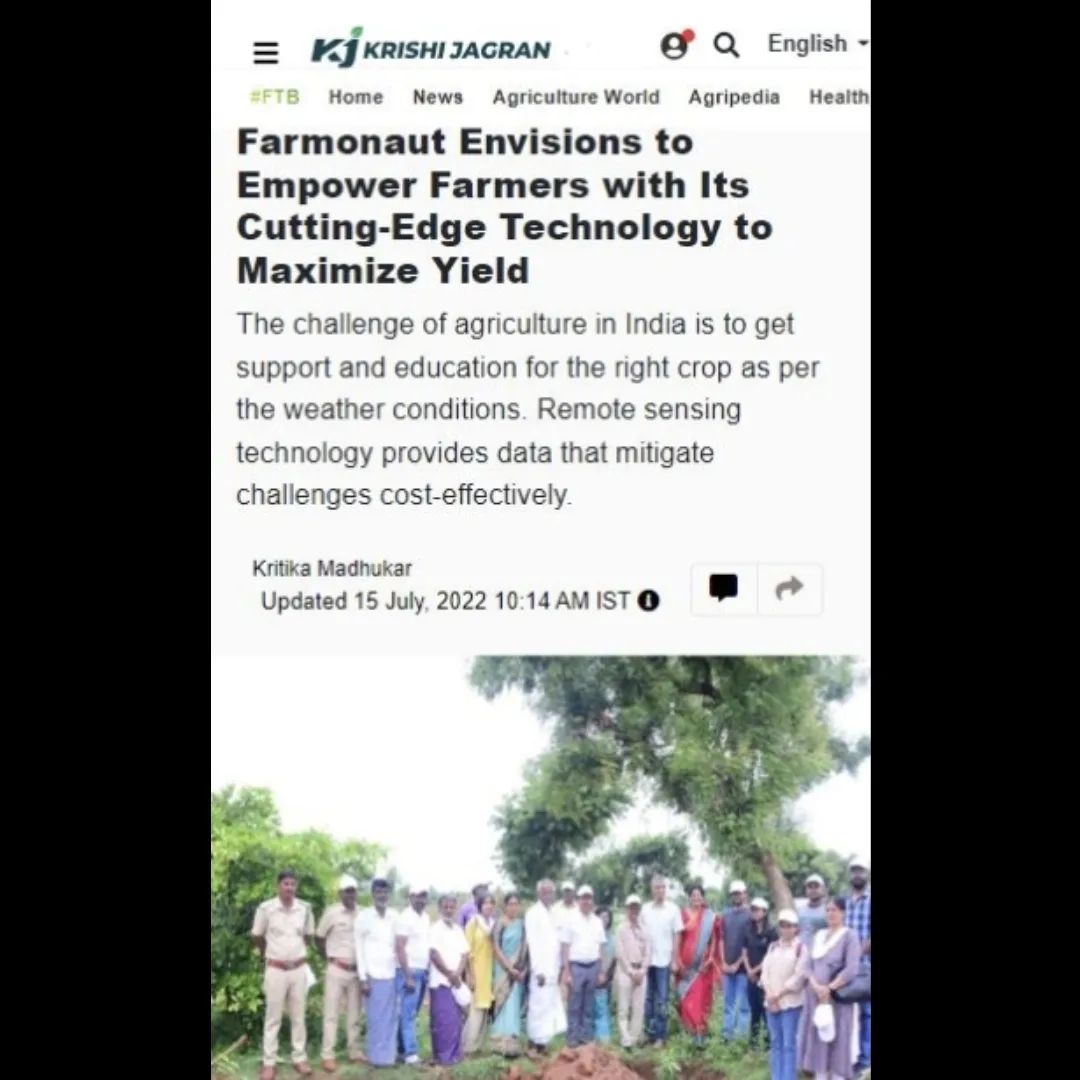
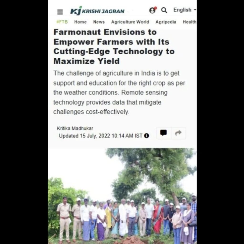
Empowering Farmers with Cutting-Edge Technology: Farmonaut’s Vision for Maximizing Yield

At Farmonaut, we are thrilled to share our latest coverage on @krishijagran! Our mission to empower farmers with cutting-edge technology has taken another significant step forward. We’re using advanced geospatial technology to revolutionize farming practices, helping farmers reduce investment in farm inputs while simultaneously increasing their yield. Let’s delve into how we’re reshaping the agricultural landscape and paving the way for a more sustainable and productive future.
The Agricultural Challenge in India
India’s agricultural sector faces a unique set of challenges. One of the most pressing issues is the need for targeted support and education for farmers to choose the right crops based on their specific environmental conditions. This is where our expertise in remote sensing and precision agriculture comes into play.
Farmonaut’s Innovative Approach
We at Farmonaut have developed a comprehensive suite of tools that leverage the power of remote sensing address these challenges head-on. Our satellite-based farm management solutions are designed to make precision agriculture both affordable and accessible to farmers across India and beyond.
Key Technologies Driving Our Solutions
- Satellite-Based Crop Health Monitoring: Utilizing multispectral satellite imagery to provide real-time insights into crop health, soil moisture levels, and other critical metrics.
- Jeevn AI Advisory System: An artificial intelligence-driven tool offering personalized farm advice, weather forecasts, and expert crop management strategies.
- Blockchain-Based Product Traceability: Ensuring transparency and security throughout the agricultural supply chain.
- Fleet and Resource Management: Optimizing logistics and reducing operational costs for agribusinesses.
- Carbon Footprinting: Helping businesses monitor and reduce their environmental impact.
The Power of Remote Sensing in Agriculture
Remote sensing technology is at the heart of our innovative approach. By harnessing the power of satellite imagery, we provide data that effectively mitigates agricultural challenges in a cost-effective manner. Here’s how our remote sensing solutions are transforming farming practices:
- Crop Health Assessment: Our satellite imagery allows farmers to monitor crop health remotely, identifying issues before they become visible to the naked eye.
- Resource Optimization: By providing accurate data on soil moisture and crop needs, we help farmers optimize their use of water and fertilizers.
- Early Pest and Disease Detection: Our technology can detect signs of pest infestations or disease outbreaks early, allowing for timely interventions.
- Yield Prediction: Advanced algorithms analyze satellite data to provide accurate yield predictions, helping farmers and agribusinesses plan more effectively.
- Land Use Mapping: Our remote sensing capabilities enable precise mapping of agricultural lands, aiding in better land use planning and management.
Farmonaut Satellite System vs. Drone and IoT-Based Farm Monitoring
While drones and IoT devices have their place in modern agriculture, our satellite-based system offers unique advantages. Here’s a comparison table highlighting why Farmonaut’s solution stands out:
| Feature | Farmonaut Satellite System | Drone-based Monitoring | IoT-based Monitoring |
|---|---|---|---|
| Coverage Area | Large scale (entire farms at once) | Limited by flight time and regulations | Limited to sensor placement |
| Cost-effectiveness | High (no hardware required) | Moderate (drone purchase and maintenance) | Moderate to Low (multiple sensors needed) |
| Data Frequency | Regular updates (as frequent as daily) | Dependent on manual flights | Real-time but localized |
| Ease of Use | High (accessible via web and mobile apps) | Requires skilled operators | Requires technical setup and maintenance |
| Weather Independence | High (can penetrate cloud cover) | Low (affected by wind and rain) | Moderate (some sensors affected by weather) |
Empowering Farmers with Smart Farming Solutions
Our commitment to smart farming goes beyond just providing technology. We aim to empower farmers with the knowledge and tools they need to make informed decisions. Here’s how we’re achieving this:
- User-Friendly Interface: Our web and mobile applications are designed with farmers in mind, making complex data easily understandable and actionable.
- Customized Recommendations: The Jeevn AI system provides tailored advice based on each farm’s unique conditions and crop types.
- Educational Resources: We offer extensive training and support to help farmers make the most of our technology.
- Community Building: Our platform facilitates knowledge sharing among farmers, creating a supportive ecosystem for agricultural innovation.
The Future of Agritech with Farmonaut
As pioneers in the agritech space, we at Farmonaut are continuously innovating to meet the evolving needs of farmers and the agricultural industry. Our vision for the future includes:
- Enhanced AI Capabilities: Further refining our AI algorithms to provide even more accurate and timely advice.
- Expanded Satellite Coverage: Increasing the frequency and resolution of our satellite imagery for more detailed insights.
- Integration with Other Technologies: Exploring synergies with drones and IoT devices to create a comprehensive farm management ecosystem.
- Global Expansion: Adapting our technology to serve farmers in diverse climatic conditions around the world.
- Sustainability Focus: Developing new features to help farmers adopt more environmentally friendly practices and reduce their carbon footprint.
Join the Farmonaut Revolution
We invite farmers, agribusinesses, and agricultural enthusiasts to join us in revolutionizing farming practices. Here’s how you can get started:
- Download our mobile app:
Android |
iOS - Explore our web application for comprehensive farm management
- Developers can integrate our technology using our API
- Learn more about our Satellite Weather API
Frequently Asked Questions (FAQ)
Q: How accurate is Farmonaut’s satellite imagery?
A: Our satellite imagery is highly accurate, with resolution down to 3 meters for most areas. This provides detailed insights into crop health and field conditions.
Q: How often is the satellite data updated?
A: Depending on the subscription plan, we offer updates as frequent as daily for some areas. Most users receive updates every 3-5 days, which is sufficient for monitoring crop development.
Q: Can Farmonaut’s technology work for small farms?
A: Absolutely! Our technology is scalable and can benefit farms of all sizes. We offer affordable plans tailored to small-scale farmers.
Q: How does Farmonaut’s AI advisory system work?
A: Our Jeevn AI system analyzes satellite data, weather information, and historical crop data to provide personalized recommendations for crop management, including irrigation, fertilization, and pest control.
Q: Is internet connectivity required to use Farmonaut’s services?
A: While internet connectivity is needed to receive updates and access our full range of services, our mobile app allows for offline viewing of previously downloaded data.
Conclusion
At Farmonaut, we’re not just providing technology; we’re cultivating a new era of sustainable and productive agriculture. By harnessing the power of remote sensing, precision agriculture, and smart farming solutions, we’re empowering farmers to maximize their yields while minimizing environmental impact.
Join us in our mission to revolutionize farming practices and secure a more sustainable future for agriculture. Together, we can overcome the challenges facing modern farming and pave the way for a more prosperous agricultural sector.
Happy Farming! 🌱🚜🛰️
