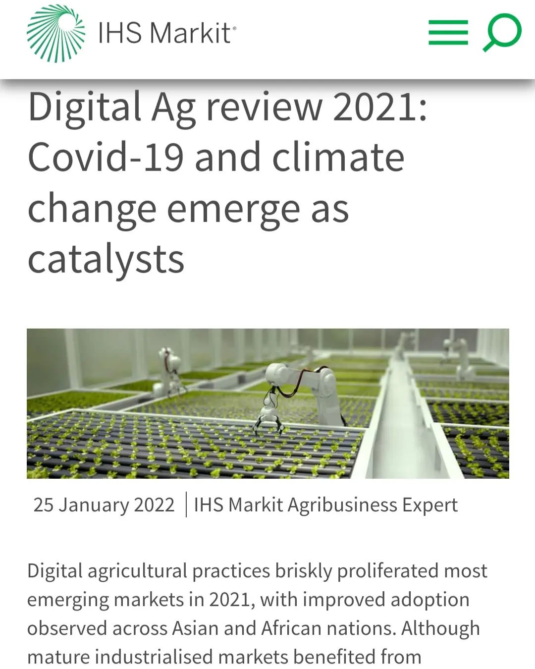
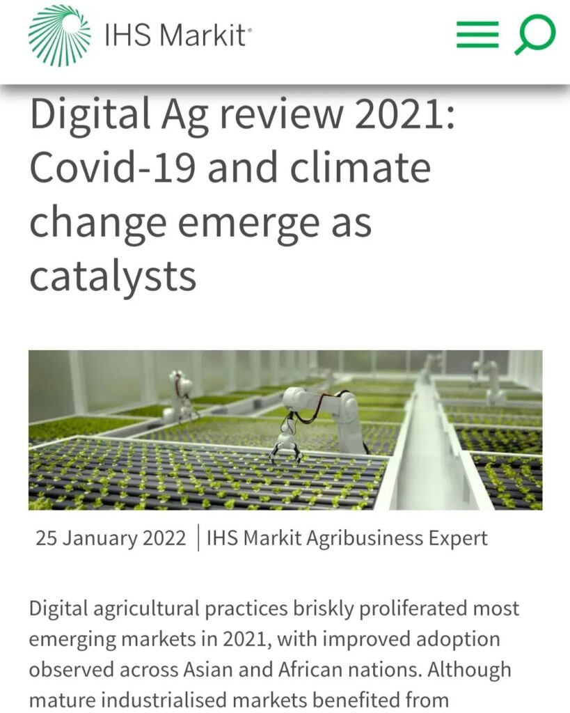
Revolutionizing Agriculture: Farmonaut’s Satellite-Powered Precision Farming Solutions

We at Farmonaut are thrilled to share that our groundbreaking work in the agriculture sector has been recognized by IHS Markit, a leading provider of information, analytics, and solutions for major industries and markets. This coverage highlights our commitment to empowering farmers and businesses with cutting-edge technology to increase yields, reduce crop loss, and optimize farm inputs through the power of satellite data.
The Farmonaut Advantage: Transforming Agriculture with Satellite Technology
In today’s rapidly evolving agricultural landscape, the need for innovative solutions to address global food security challenges has never been more pressing. At Farmonaut, we have pioneered a comprehensive suite of satellite-based farm management tools that are revolutionizing the way farmers and agribusinesses approach crop cultivation and resource management.
Our platforms, available on Android, iOS, and web applications, offer a range of powerful features that enable users to:
- Select and monitor specific fields
- Identify areas of abnormal crop growth
- Access critical data on vegetation water stress
- Monitor evapotranspiration rates
- Analyze soil organic carbon content
- Receive accurate weather forecasts from the nearest weather station
What sets us apart is our ability to provide uninterrupted satellite data even during cloudy weather conditions, thanks to our advanced radar sensors. This ensures that our users have continuous access to vital information, regardless of atmospheric conditions.
The Power of Precision Agriculture
Precision agriculture is at the heart of what we do at Farmonaut. By harnessing the power of satellite technology and data analytics, we enable farmers to make informed decisions about their crops, leading to increased efficiency, reduced waste, and improved yields.
Our precision agriculture solutions include:
- Crop Recognition: Our advanced algorithms can identify and classify various crop types from satellite imagery, allowing for tailored management strategies.
- Field Scouting: We provide tools for efficient field scouting, helping farmers identify problem areas quickly and accurately.
- Resource Optimization: By analyzing satellite data, we help farmers optimize their use of water, fertilizers, and pesticides, reducing costs and environmental impact.
- Yield Prediction: Our AI-powered models can predict crop yields with high accuracy, enabling better planning and decision-making.
Farmonaut’s Satellite Image API: Empowering Developers and Businesses
We understand the importance of data accessibility in the modern agricultural ecosystem. That’s why we offer our satellite image API, allowing developers and businesses to integrate our powerful satellite data directly into their own applications and systems.
Our API provides access to a wealth of information, including:
- High-resolution satellite imagery
- Vegetation indices (e.g., NDVI)
- Soil moisture data
- Historical and forecast weather data
By leveraging our API, businesses can enhance their own agricultural solutions and provide added value to their customers. Learn more about our API capabilities and documentation here.
Understanding Soil Organic Carbon: A Key to Sustainable Farming
One of the critical metrics we provide to our users is soil organic carbon content. But what exactly is soil organic carbon, and why is it so important?
Soil organic carbon definition: Soil organic carbon refers to the carbon component of organic compounds in soil. It is derived from living organisms and their decomposition products, playing a crucial role in soil health and fertility.
The benefits of maintaining healthy levels of soil organic carbon include:
- Improved soil structure and water retention
- Enhanced nutrient availability for plants
- Increased biodiversity in the soil ecosystem
- Carbon sequestration, contributing to climate change mitigation
By monitoring soil organic carbon levels through our satellite-based system, farmers can make informed decisions about soil management practices, leading to more sustainable and productive agriculture.
Weather Forecast Data: Precision Planning for Optimal Results
Accurate weather forecast data is essential for successful farming operations. At Farmonaut, we provide our users with highly reliable weather forecasts from the nearest weather stations, enabling them to plan their activities with confidence.
Our weather data includes:
- Short-term and long-term temperature predictions
- Precipitation forecasts
- Wind speed and direction
- Humidity levels
- Solar radiation estimates
By integrating this weather information with our satellite-derived crop health data, farmers can make more informed decisions about irrigation, planting, harvesting, and pest management.
Farmonaut vs. Traditional Monitoring Methods: A Comparison
While drone-based and IoT-based farm monitoring systems have gained popularity in recent years, our satellite-based approach offers several distinct advantages. Here’s a comparison of Farmonaut’s satellite system with these alternative methods:
| Feature | Farmonaut Satellite System | Drone-based Monitoring | IoT-based Monitoring |
|---|---|---|---|
| Coverage Area | Large scale (regional to global) | Limited to local areas | Limited to sensor placement |
| Data Collection Frequency | Regular intervals (daily to weekly) | On-demand, weather-dependent | Continuous, but localized |
| Initial Setup Cost | Low | High (equipment and training) | Moderate to high (sensors and network) |
| Operational Complexity | Low (cloud-based platform) | High (requires skilled operators) | Moderate (maintenance of sensors) |
| Weather Dependency | Low (radar sensors work in clouds) | High (clear weather required) | Low |
| Scalability | Highly scalable | Limited by equipment and personnel | Moderate (requires additional sensors) |
| Data Integration | Seamless with global datasets | Requires additional processing | Limited to sensor data |
As you can see, our satellite-based system offers unparalleled coverage, scalability, and ease of use compared to traditional monitoring methods.
Success Stories: Farmonaut in Action
The impact of our technology on farms and agribusinesses has been significant. Here are a few success stories from our users:
Case Study 1: Small-Scale Farmer in India
Rajesh, a smallholder farmer in Maharashtra, India, was struggling with unpredictable weather patterns and pest infestations. After adopting Farmonaut’s platform, he was able to:
- Reduce water usage by 20% through optimized irrigation scheduling
- Increase crop yield by 15% by addressing nutrient deficiencies early
- Save 30% on pesticide costs by targeting applications more effectively
Case Study 2: Large Agribusiness in Brazil
A major soybean producer in Mato Grosso, Brazil, integrated Farmonaut’s API into their farm management system. The results were impressive:
- 10% reduction in overall operational costs
- 25% improvement in harvest timing accuracy
- 5% increase in total yield across 50,000 hectares
The Future of Farming with Farmonaut
As we look to the future, we at Farmonaut are committed to continuing our innovation in the field of satellite-based agriculture. Some of the exciting developments on our roadmap include:
- Enhanced AI-driven crop health predictions
- Integration with autonomous farming equipment
- Expanded crop type recognition capabilities
- Advanced climate change impact modeling
We believe that by combining cutting-edge technology with the wisdom of traditional farming practices, we can help create a more sustainable and productive agricultural future for all.
Join the Farmonaut Revolution
Are you ready to transform your farming operations with the power of satellite technology? Here’s how you can get started:
- Download our mobile app:
Android | iOS - Explore our web application: Farmonaut Web App
- Check out our API documentation: Farmonaut API Docs
Subscribe to Farmonaut today and take the first step towards precision agriculture:
Frequently Asked Questions (FAQ)
Q: How accurate is Farmonaut’s satellite data?
A: Our satellite data is highly accurate, with resolution down to 10 meters for most applications. We use a combination of optical and radar sensors to ensure reliability even in cloudy conditions.
Q: Can Farmonaut’s system work for small farms?
A: Absolutely! Our system is designed to be scalable and affordable for farms of all sizes, from small family-owned plots to large industrial operations.
Q: How often is the satellite data updated?
A: We provide updates every 1-5 days, depending on the specific location and the satellite constellation coverage.
Q: Is internet connectivity required to use Farmonaut?
A: While an internet connection is needed to receive updates and access our full suite of features, our mobile app allows for offline viewing of previously downloaded data.
Q: How does Farmonaut protect user data?
A: We take data security very seriously. All user data is encrypted and stored securely in compliance with international data protection standards.
Q: Can Farmonaut integrate with other farm management software?
A: Yes, our API allows for seamless integration with a wide range of farm management systems and other agricultural software.
Conclusion: Embracing the Future of Agriculture
As we continue to face global challenges such as climate change, population growth, and resource scarcity, the need for innovative agricultural solutions has never been greater. At Farmonaut, we’re proud to be at the forefront of this agricultural revolution, providing farmers and agribusinesses with the tools they need to thrive in an ever-changing world.
By harnessing the power of satellite technology, artificial intelligence, and data analytics, we’re not just improving farm productivity – we’re helping to create a more sustainable and food-secure future for generations to come.
Join us in this exciting journey towards smarter, more efficient, and more sustainable farming. Together, we can cultivate a brighter future for agriculture and for our planet.
Happy Farming!
