Revolutionize Your Farm: Unlock the Power of Satellite Crop Monitoring and Precision Agriculture Solutions
“Satellite crop monitoring can analyze up to 1 million acres of farmland per day, revolutionizing large-scale agriculture management.”
In today’s rapidly evolving agricultural landscape, precision farming technologies and satellite crop monitoring are transforming the way we approach farm management. At Farmonaut, we’re at the forefront of this revolution, offering cutting-edge solutions that empower farmers to optimize their yields, preserve soil health, and embrace sustainable farming practices. Join us as we explore the exciting world of agricultural data analytics and discover how these innovations are shaping the future of farming.
The Dawn of Precision Agriculture
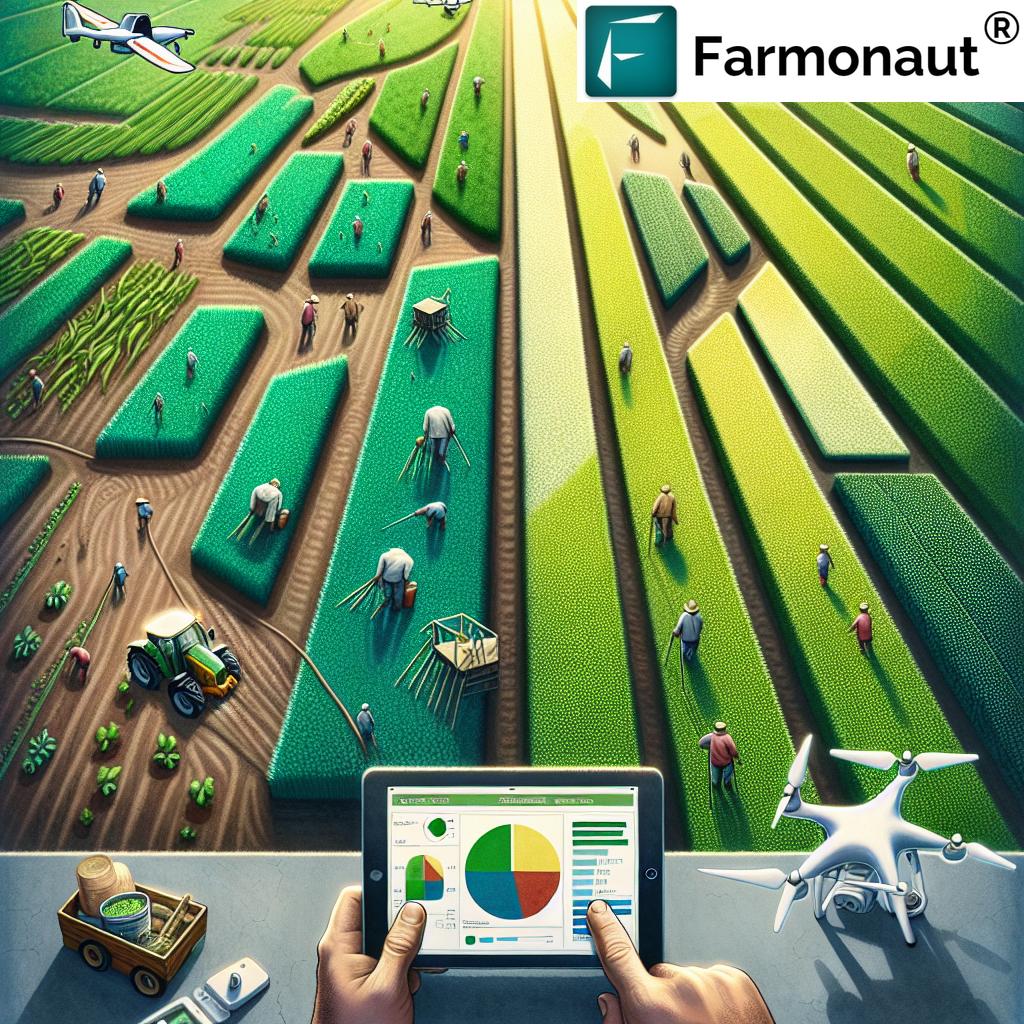
Precision agriculture solutions have ushered in a new era of farming, where data-driven decisions lead to increased efficiency and productivity. By leveraging advanced technologies such as satellite imagery, artificial intelligence, and machine learning, farmers can now gain unprecedented insights into their fields and crops.
- Real-time crop health monitoring
- Weather-based crop advisory services
- Soil health management
- Resource optimization
These innovations allow farmers to make informed decisions about irrigation, fertilization, and pest management, ultimately leading to higher yields and reduced environmental impact.

Satellite Crop Monitoring: A Game-Changer for Farmers
One of the most revolutionary aspects of modern precision agriculture is satellite crop monitoring. This technology allows farmers to observe their fields from space, providing a comprehensive view of crop health and development throughout the growing season.
Key benefits of satellite crop monitoring include:
- Frequent and consistent field observations
- Early detection of crop stress and disease
- Identification of problem areas within fields
- Improved resource allocation and management
At Farmonaut, we harness the power of satellite imagery to provide farmers with actionable insights that can significantly improve their operations. Our platform offers daily updates on crop health, allowing for timely interventions and optimized decision-making.
Vegetation Index Mapping: The Key to Understanding Crop Health
One of the most powerful tools in satellite crop monitoring is vegetation index mapping. These maps use various spectral bands to analyze plant health and vigor, providing a visual representation of crop conditions across entire fields.
The most commonly used vegetation index is the Normalized Difference Vegetation Index (NDVI). NDVI crop analysis is particularly effective in:
- Assessing overall crop health
- Identifying areas of stress or poor growth
- Monitoring crop development throughout the season
- Predicting potential yields
By regularly analyzing NDVI maps, farmers can quickly identify problem areas and take corrective action before issues escalate, leading to improved crop management and higher yields.
Weather-Based Crop Advisory: Precision Farming at Its Best
In the world of agriculture, weather plays a crucial role in determining crop success. Our weather-based crop advisory services combine satellite data with advanced meteorological forecasts to provide farmers with tailored recommendations for their specific crops and locations.
These advisory services offer:
- Customized irrigation schedules
- Optimal planting and harvesting dates
- Pest and disease risk alerts
- Fertilizer application timing recommendations
By integrating weather data with crop monitoring information, farmers can make more informed decisions that lead to improved resource management and higher crop yields.
Drone-Based Crop Scouting: A Closer Look at Field Conditions
While satellite imagery provides a broad overview of field conditions, drone-based crop scouting offers a more detailed, up-close view of crop health and development. This technology complements satellite monitoring by allowing farmers to:
- Inspect specific areas of concern identified by satellite imagery
- Capture high-resolution images for in-depth analysis
- Monitor crop progress at critical growth stages
- Assess damage from pests, diseases, or extreme weather events
By combining satellite and drone technologies, farmers can gain a comprehensive understanding of their fields, from the macro to the micro level.
Variable Rate Application Technology: Precision Resource Management
One of the most significant advancements in precision agriculture is variable rate application (VRA) technology. This innovative approach allows farmers to apply inputs such as water, fertilizers, and pesticides at varying rates across their fields, based on the specific needs of different areas.
Benefits of VRA technology include:
- Optimized resource use and reduced waste
- Improved crop yields and quality
- Reduced environmental impact
- Cost savings on inputs
By integrating VRA technology with satellite crop monitoring and soil health data, farmers can ensure that each part of their field receives precisely what it needs, when it needs it.

Climate-Smart Agriculture: Adapting to a Changing World
As our planet faces the challenges of climate change, adopting climate-smart agriculture practices has become increasingly important. These strategies aim to increase productivity while reducing greenhouse gas emissions and improving resilience to climate-related risks.
Key aspects of climate-smart agriculture include:
- Efficient water management
- Conservation tillage practices
- Crop diversification and rotation
- Integrated pest management
By leveraging precision agriculture technologies and satellite crop monitoring, farmers can implement these practices more effectively, contributing to a more sustainable and resilient agricultural system.
“NDVI crop analysis can detect plant stress up to 2 weeks before it becomes visible to the human eye.”
Field Boundary Mapping: Defining Your Agricultural Space
Accurate field boundary mapping is essential for effective precision agriculture. This process involves creating digital maps of field boundaries, which serve as the foundation for various precision farming activities.
Benefits of precise field boundary mapping include:
- Improved accuracy of satellite-based crop monitoring
- Enhanced precision in variable rate applications
- Better management of field-specific data
- Simplified reporting for regulatory compliance
At Farmonaut, we offer advanced field boundary mapping services that integrate seamlessly with our satellite crop monitoring platform, ensuring that farmers have access to the most accurate and up-to-date information about their fields.
Harvest Monitoring Systems: Optimizing the Final Stage
The harvest is the culmination of a season’s hard work, and optimizing this critical phase can significantly impact a farm’s profitability. Harvest monitoring systems use a combination of satellite imagery, yield mapping technology, and data analytics to help farmers:
- Determine optimal harvest timing
- Identify high-yielding areas within fields
- Track harvest progress in real-time
- Analyze yield data for future planning
By integrating harvest monitoring systems with other precision agriculture solutions, farmers can gain valuable insights that inform their decision-making for future growing seasons.
Crop Classification Algorithms: Understanding Field Diversity
Advanced crop classification algorithms are revolutionizing the way we analyze and manage agricultural landscapes. These sophisticated tools use machine learning and remote sensing data to automatically identify and map different crop types across large areas.
Key applications of crop classification algorithms include:
- Accurate crop inventory management
- Improved crop rotation planning
- Enhanced precision in crop-specific management practices
- Support for agricultural policy-making and subsidy allocation
At Farmonaut, we leverage state-of-the-art crop classification algorithms to provide our users with detailed insights into their field compositions, enabling more informed and efficient farm management decisions.
The Farmonaut Advantage: Empowering Farmers with Cutting-Edge Technology
As pioneers in the field of precision agriculture, we at Farmonaut are committed to providing farmers with the most advanced and user-friendly tools for optimizing their operations. Our comprehensive platform integrates satellite crop monitoring, weather-based advisory services, and advanced data analytics to deliver actionable insights directly to farmers’ fingertips.
Key features of the Farmonaut platform include:
- Daily satellite-based crop health updates
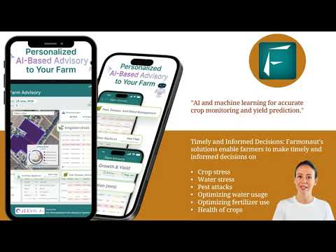
- AI-powered crop advisory system
- Customized weather forecasts and alerts
- Soil health monitoring and management tools
- Integrated harvest monitoring and yield prediction
By leveraging these powerful tools, farmers can make data-driven decisions that lead to improved yields, reduced input costs, and more sustainable farming practices.
| Agricultural Practice | Traditional Method | Farmonaut Satellite System |
|---|---|---|
| Crop Monitoring Frequency | Monthly visual inspections | Daily satellite imagery analysis |
| Field Analysis Accuracy | Limited manual sampling | Comprehensive NDVI mapping |
| Resource Optimization | Uniform application | Variable rate application based on satellite data |
| Water Usage Efficiency | Standard irrigation practices | Up to 30% reduction in water usage |
| Crop Yield Potential | Based on historical averages | Potential 20% increase in crop yield |
Getting Started with Farmonaut
Ready to revolutionize your farm with the power of satellite crop monitoring and precision agriculture solutions? Getting started with Farmonaut is easy:
- Visit our website and sign up for a free account
- Download our mobile app for on-the-go access to your farm data
- Connect your fields to our satellite monitoring system
- Start receiving daily updates and personalized recommendations
Our user-friendly platform is designed to work for farms of all sizes, from small family operations to large commercial enterprises. With Farmonaut, you’ll have the tools you need to take your farm to the next level of efficiency and productivity.
Farmonaut Subscriptions
FAQ Section
Q: How accurate is satellite crop monitoring?
A: Satellite crop monitoring can provide highly accurate insights, with resolution capabilities down to 3 meters. This allows for precise analysis of crop health and field conditions.
Q: Can Farmonaut’s system work for small farms?
A: Absolutely! Our platform is designed to accommodate farms of all sizes, from small family operations to large commercial enterprises.
Q: How often is satellite data updated?
A: Farmonaut provides daily updates on crop health and field conditions, ensuring you always have the most current information available.
Q: Is it difficult to integrate Farmonaut with existing farm management systems?
A: Not at all. Our platform is designed to be user-friendly and can easily integrate with most existing farm management software. We also offer API access for seamless integration.
Q: How can I access Farmonaut’s data?
A: You can access Farmonaut’s data through our web application, mobile apps (available for both Android and iOS), and API. For developers interested in integrating our data into their own systems, we offer comprehensive API documentation.
Conclusion: Embracing the Future of Agriculture
As we’ve explored throughout this blog post, the combination of satellite crop monitoring and precision agriculture solutions is revolutionizing the way we approach farming. By embracing these technologies, farmers can optimize their yields, reduce their environmental impact, and build more resilient and sustainable agricultural systems.
At Farmonaut, we’re committed to making these powerful tools accessible to farmers around the world. Our platform offers a comprehensive suite of solutions designed to empower farmers with the insights they need to succeed in an increasingly complex and challenging agricultural landscape.
Whether you’re a small family farmer or managing a large commercial operation, the future of agriculture is here. By leveraging the power of satellite technology, data analytics, and artificial intelligence, you can take your farm to new heights of efficiency and productivity.
Ready to revolutionize your farm? Sign up for Farmonaut today and start unlocking the full potential of your fields. The future of farming is in your hands – let’s cultivate it together.


