Revolutionize Your Farm with Farmonaut’s Precision Agriculture: Unleash the Power of Satellite Crop Monitoring and NDVI Analysis
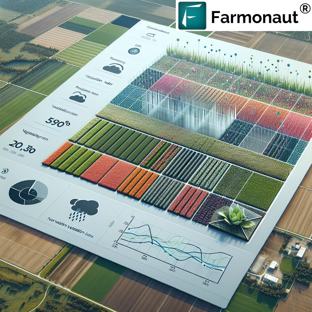
“Farmonaut’s Agro Dashboard utilizes satellite imagery to analyze NDVI, providing farmers with data on up to 5 years of crop history.”
Welcome to the future of farming! In this comprehensive guide, we’ll explore how Farmonaut’s innovative crop monitoring software and precision agriculture tools are transforming the agricultural landscape. By harnessing the power of satellite imagery for agriculture, Farmonaut empowers farmers with real-time insights and data-driven decision-making capabilities.
The Revolution of Precision Agriculture
Precision agriculture represents a paradigm shift in farming practices, leveraging cutting-edge technology to optimize crop yields, reduce waste, and enhance overall farm efficiency. At the heart of this revolution lies Farmonaut’s advanced Agro Dashboard, a powerful platform that brings the benefits of satellite-based monitoring and analysis to farmers of all scales.
Understanding NDVI Crop Analysis
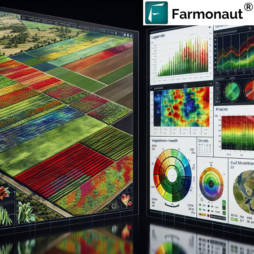
NDVI crop analysis is a cornerstone of Farmonaut’s technology. NDVI, or Normalized Difference Vegetation Index, is a powerful indicator of plant health and vigor. By analyzing multispectral satellite images, we can calculate NDVI values that reveal crucial information about crop conditions, allowing farmers to:
- Detect early signs of stress or disease
- Optimize irrigation schedules
- Identify areas requiring additional nutrients
- Monitor crop growth stages
- Predict yields more accurately
Our advanced algorithms process vast amounts of satellite data to deliver actionable insights directly to your dashboard, empowering you to make informed decisions quickly and efficiently.
The Power of Satellite Imagery in Agriculture
Satellite imagery for agriculture has revolutionized the way we monitor and manage crops. With Farmonaut’s platform, you gain access to high-resolution, frequently updated images of your fields, providing a bird’s-eye view of your entire operation. This technology enables:
- Comprehensive field boundary mapping
- Detection of spatial variability within fields
- Tracking of crop health over time
- Identification of problem areas requiring immediate attention
By leveraging satellite technology, we eliminate the need for time-consuming and costly ground surveys, allowing you to focus on what matters most – optimizing your farm’s performance.
Farmonaut’s Agro Dashboard: Your Command Center for Precision Farming
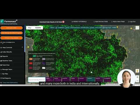
At the heart of our offering is the intuitive and powerful Agro Dashboard. This comprehensive tool serves as your central hub for all crop monitoring and management activities. Key features include:
- Real-time statistics: Access up-to-date information on crop health, growth stages, and field conditions.
- Historical data analysis: Compare current crop performance with past seasons to identify trends and make informed decisions.
- Vegetation index tracking: Monitor various vegetation indices, including NDVI, to gain deeper insights into crop health and vigor.
- Customizable polygons: Define and manage specific areas of interest within your fields for targeted analysis and intervention.
- Detailed weather forecasts: Access accurate, localized weather predictions to plan your farming activities effectively.
- Multi-year comparisons: Analyze crop performance across multiple growing seasons to identify long-term trends and optimize your strategies.
“The platform offers hourly and daily weather updates, enabling farmers to make informed decisions across thousands of hectares.”
Harnessing Remote Sensing in Farming
Remote sensing in farming has opened up new possibilities for agricultural management. By utilizing Farmonaut’s advanced remote sensing capabilities, you can:
- Monitor crop health across vast areas without physical inspection
- Detect early signs of pest infestations or disease outbreaks
- Assess soil moisture levels to optimize irrigation
- Evaluate the effectiveness of different farming practices
- Track crop growth stages for precise timing of interventions
Our platform integrates seamlessly with various remote sensing technologies, providing you with a comprehensive view of your farm’s ecosystem.
Advanced Features for Comprehensive Farm Management
Farmonaut’s Agro Dashboard goes beyond basic crop monitoring, offering a suite of advanced features designed to streamline your farming operations:
- Area calculation: Accurately measure field sizes and crop areas for precise planning and resource allocation.
- Daily and hourly weather updates: Stay informed about changing weather conditions to make timely decisions.
- Soil data analysis: Gain insights into soil health and composition to optimize fertilizer application and crop selection.
- Crop rotation planning: Use historical data and AI-driven recommendations to plan optimal crop rotations.
- Yield prediction: Leverage advanced algorithms to forecast crop yields based on current conditions and historical trends.
These features work in harmony to provide a holistic view of your farm’s performance, enabling data-driven decision-making at every stage of the growing season.
Precision Agriculture Tools for Every Farm Size
Whether you’re managing a small family farm or overseeing vast agricultural operations, Farmonaut’s precision agriculture tools are designed to scale with your needs. Our platform offers:
- Flexible subscription options to suit farms of all sizes
- Customizable dashboards for individual or enterprise-level management
- Integration capabilities with existing farm management systems
- Mobile apps for on-the-go monitoring and decision-making
By democratizing access to advanced agricultural technology, we’re empowering farmers worldwide to embrace the benefits of precision agriculture.
The Farmonaut Advantage: A Comparative Look
| Feature | Traditional Farming | Farmonaut’s Solution |
|---|---|---|
| Crop Monitoring Frequency | Weekly (manual) | Daily (satellite-based) |
| Data Accuracy | 60-70% (visual estimation) | 90-95% (NDVI analysis) |
| Field Mapping | Manual, time-consuming | Automated, precise |
| Weather Forecasting | General, regional | Localized, field-specific |
| Soil Analysis | Periodic, sample-based | Continuous, comprehensive |
| Resource Optimization | Based on experience | Data-driven, AI-assisted |
Integrating Farmonaut into Your Farming Workflow
Adopting new technology can seem daunting, but we’ve designed Farmonaut to seamlessly integrate into your existing farming practices. Here’s how you can get started:
- Sign up for an account: Choose the subscription plan that best fits your farm’s size and needs.
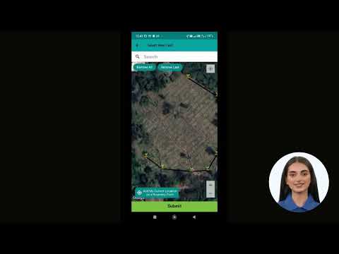
- Define your fields: Use our intuitive field boundary mapping tools to outline your areas of interest.
- Set up monitoring parameters: Customize the types of data and alerts you want to receive for each field.
- Explore the dashboard: Familiarize yourself with the wealth of information at your fingertips.
- Start making data-driven decisions: Use the insights provided to optimize your farming practices.
Our team is always available to provide support and guidance as you navigate the world of precision agriculture.
Revolutionizing Agricultural Weather Data
Accurate and timely agricultural weather data is crucial for successful farming. Farmonaut’s platform provides:
- Hyperlocal weather forecasts tailored to your specific field locations
- Historical weather data for long-term trend analysis
- Customizable alerts for critical weather events
- Integration of weather data with crop health indicators for comprehensive insights
By combining precise weather information with our crop monitoring capabilities, we empower you to make proactive decisions that protect your crops and optimize yields.
Enhancing Crop Health Monitoring
Crop health monitoring is at the core of Farmonaut’s offering. Our advanced algorithms analyze multiple data points to provide a comprehensive view of your crops’ well-being:
- NDVI and other vegetation indices to assess plant vigor
- Chlorophyll content estimation for nutrient management
- Leaf Area Index (LAI) tracking for growth stage monitoring
- Anomaly detection to identify potential issues early
With these tools at your disposal, you can quickly identify and address issues before they impact your yield, ensuring healthier crops and better harvests.
Leveraging Vegetation Index Tracking
Vegetation index tracking provides valuable insights into crop development and health. Farmonaut’s platform offers:
- Multi-temporal analysis of vegetation indices
- Comparison of index values across different fields or crop types
- Customizable thresholds for index-based alerts
- Visualization tools for easy interpretation of index data
By closely monitoring these indices, you can fine-tune your management practices and optimize crop performance throughout the growing season.
Expanding Possibilities with Farmonaut’s API
For businesses and developers looking to integrate Farmonaut’s powerful capabilities into their own applications, we offer a robust API. Our API provides access to:
- Satellite imagery and NDVI data
- Weather forecasts and historical data
- Soil analysis results
- Crop health indicators
Explore our API Developer Docs to learn how you can harness the power of Farmonaut’s technology in your own solutions.
Accessing Farmonaut Across Platforms
We understand the importance of accessibility in today’s fast-paced agricultural environment. That’s why Farmonaut is available on multiple platforms:
Whether you prefer working on a desktop computer or need the flexibility of mobile access, Farmonaut has you covered.
Subscription Options to Fit Your Needs
We offer flexible subscription plans to cater to farms of all sizes and needs. Choose the plan that best suits your operation:
Frequently Asked Questions
Q: How often is the satellite imagery updated?
A: Our satellite imagery is typically updated every 3-5 days, depending on weather conditions and satellite availability.
Q: Can Farmonaut be used for all crop types?
A: Yes, Farmonaut’s technology is applicable to a wide range of crop types, including grains, fruits, vegetables, and cash crops.
Q: Is internet connectivity required to use Farmonaut?
A: While an internet connection is needed to receive real-time updates, our mobile apps offer offline functionality for field work in areas with limited connectivity.
Q: How accurate is the NDVI analysis?
A: Our NDVI analysis typically achieves 90-95% accuracy, validated through ground-truthing and comparison with traditional methods.
Q: Can Farmonaut integrate with other farm management software?
A: Yes, we offer API access and integration capabilities to work seamlessly with other farm management tools.
Conclusion: Embracing the Future of Agriculture
As we’ve explored throughout this guide, Farmonaut’s precision agriculture tools represent a significant leap forward in farm management technology. By harnessing the power of satellite imagery, advanced analytics, and user-friendly interfaces, we’re empowering farmers to make data-driven decisions that optimize yields, reduce waste, and increase profitability.
From NDVI crop analysis to comprehensive field boundary mapping, our suite of tools is designed to address the complex challenges of modern agriculture. By providing real-time insights, historical data analysis, and predictive capabilities, Farmonaut is revolutionizing the way farms operate, regardless of their size or crop type.
As you consider integrating Farmonaut into your farming practices, remember that you’re not just adopting a new tool – you’re joining a community of forward-thinking agriculturists who are shaping the future of farming. Our team is committed to continual innovation and support, ensuring that you have the resources you need to succeed in an ever-changing agricultural landscape.
Take the first step towards revolutionizing your farm today. Explore Farmonaut’s offerings, sign up for a trial, and experience the power of precision agriculture firsthand. Together, we can cultivate a more efficient, sustainable, and prosperous future for agriculture worldwide.

