Revolutionizing Agriculture: How Satellite Crop Analysis and NDVI Transform Precision Farming
“Satellite-based NDVI analysis can detect crop health variations with up to 95% accuracy across vast agricultural landscapes.”
Welcome to the future of farming! At Farmonaut, we’re excited to share how cutting-edge satellite crop analysis and vegetation indices like NDVI (Normalized Difference Vegetation Index) are transforming the landscape of precision agriculture. In this comprehensive guide, we’ll explore how these technologies are revolutionizing crop monitoring, enhancing productivity, and promoting sustainable farming practices.
The Dawn of Precision Agriculture
Precision agriculture represents a paradigm shift in how we approach farming. By leveraging advanced technologies such as satellite imagery, remote sensing, and data analytics, farmers can now make informed decisions based on real-time, field-specific information. This level of precision allows for optimized resource use, improved crop yields, and reduced environmental impact.
- Enhanced crop health monitoring
- Accurate yield predictions
- Optimized resource management
- Sustainable farming practices
At the heart of this revolution lies satellite crop analysis, a powerful tool that provides farmers with invaluable insights into their fields’ conditions. Let’s dive deeper into how this technology works and its myriad benefits.
Understanding Satellite Crop Analysis
Satellite crop analysis involves the use of multispectral imagery captured by satellites orbiting the Earth. These images provide a wealth of information about crop health, soil moisture, and overall field conditions. By analyzing different spectral bands, we can derive various vegetation indices that offer critical insights into crop development and stress levels.

Key advantages of satellite crop analysis include:
- Wide-area coverage
- Frequent monitoring capabilities
- Non-invasive data collection
- Historical data comparison
The Power of NDVI in Agriculture
NDVI (Normalized Difference Vegetation Index) is one of the most widely used vegetation indices in precision agriculture. It provides a quantitative measure of vegetation health and density by analyzing the difference between near-infrared and red light reflectance from plants.
NDVI values range from -1 to +1, with higher values indicating healthier, denser vegetation. This index is particularly useful for:
- Assessing crop health and vigor
- Monitoring crop growth stages
- Detecting stress caused by pests, diseases, or nutrient deficiencies
- Estimating potential yield
By regularly monitoring NDVI values throughout the growing season, farmers can quickly identify areas of concern and take targeted action to address issues before they escalate.
Beyond NDVI: Other Valuable Vegetation Indices
While NDVI is a powerful tool, it’s not the only vegetation index used in precision agriculture. Other indices provide complementary information that can further enhance crop management strategies:
- MSAVI (Modified Soil Adjusted Vegetation Index): Particularly useful in areas with sparse vegetation or exposed soil.
- NDRE (Normalized Difference Red Edge): Sensitive to chlorophyll content and nitrogen status in plants.
- NDWI (Normalized Difference Water Index): Helps assess vegetation water content and soil moisture levels.
These indices, when used in combination, provide a comprehensive view of crop health and field conditions, enabling more precise management decisions.
Practical Applications of Satellite Crop Analysis
The applications of satellite crop analysis in modern agriculture are vast and varied. Let’s explore some key areas where this technology is making a significant impact:
1. Crop Health Monitoring
Regular satellite imagery allows farmers to monitor crop health throughout the growing season. By analyzing NDVI and other vegetation indices, we can detect early signs of stress caused by factors such as:
- Nutrient deficiencies
- Water stress
- Pest infestations
- Disease outbreaks
Early detection enables prompt intervention, potentially saving entire crops from failure.
2. Yield Prediction
By analyzing historical satellite data alongside current crop health information, we can develop accurate yield prediction models. This valuable information helps farmers and agribusinesses in:
- Planning harvest logistics
- Managing storage requirements
- Making informed marketing decisions
3. Precision Fertilizer Application
Satellite-derived vegetation indices provide insights into crop nutrient status across fields. This information enables variable-rate fertilizer application, where different areas of a field receive tailored amounts of nutrients based on their specific needs. The benefits include:
- Optimized fertilizer use
- Reduced environmental impact
- Improved crop quality
- Cost savings for farmers
“Precision farming techniques using satellite data can reduce fertilizer usage by 30% while maintaining or improving crop yields.”
4. Irrigation Management
Satellite-based soil moisture monitoring helps optimize irrigation practices. By identifying areas of water stress or excess moisture, farmers can:
- Implement targeted irrigation strategies
- Reduce water waste
- Prevent crop damage from over- or under-watering
5. Crop Classification and Mapping
Satellite imagery enables accurate crop classification and field boundary mapping. This information is valuable for:
- Government agencies conducting agricultural surveys
- Insurance companies assessing crop damage claims
- Farmers managing large or distributed landholdings

Integrating Satellite Data with Other Technologies
To maximize the benefits of satellite crop analysis, it’s essential to integrate this technology with other precision farming tools and practices:
1. Drone Technology
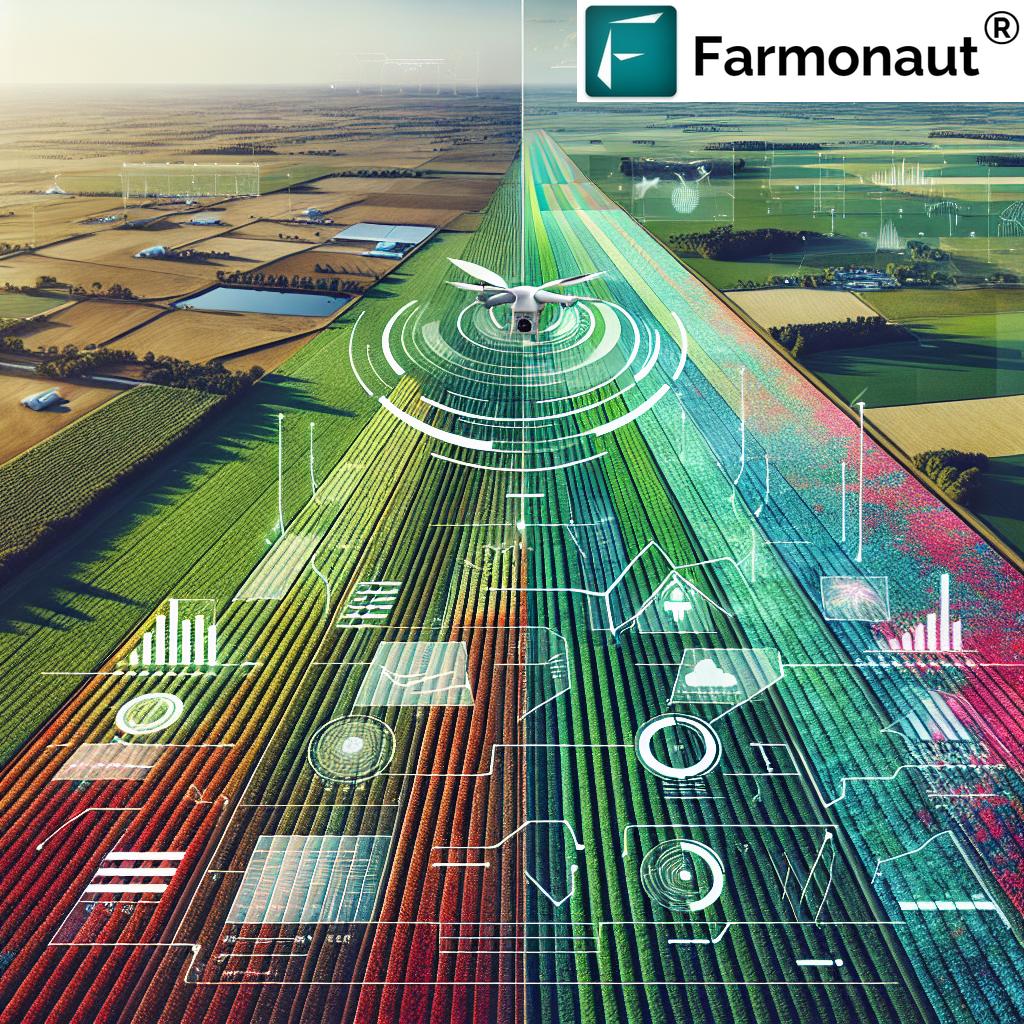
While satellites provide broad coverage, drones offer high-resolution, on-demand imagery for specific areas of interest. The combination of satellite and drone data provides a comprehensive view of field conditions at multiple scales.
2. IoT Sensors
Internet of Things (IoT) sensors deployed in fields can provide ground-truth data on soil moisture, temperature, and other parameters. This information complements satellite-derived insights, enabling more accurate decision-making.
3. Machine Learning and AI
Advanced analytics powered by machine learning algorithms can process vast amounts of satellite and ground-based data to generate actionable insights and predictive models.
4. Smart Agricultural Equipment
Modern farm machinery equipped with GPS and variable-rate technology can directly utilize satellite-derived data for precise planting, spraying, and harvesting operations.
Farmonaut’s Approach to Satellite Crop Analysis
At Farmonaut, we’re committed to making advanced satellite crop analysis accessible and affordable for farmers worldwide. Our platform leverages cutting-edge technology to provide:
- Real-time crop health monitoring
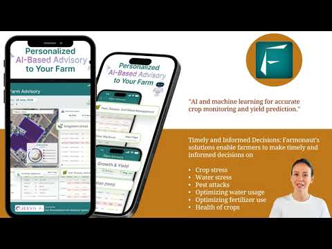
- AI-powered advisory services
- Precise field boundary mapping
- Accurate yield prediction
- Sustainable resource management tools
We believe that by democratizing access to these powerful tools, we can help farmers of all sizes improve their productivity, profitability, and environmental stewardship.
Explore our solutions:
The Future of Precision Agriculture
As satellite technology continues to advance, we anticipate even greater improvements in the accuracy and accessibility of crop monitoring tools. Some exciting developments on the horizon include:
- Higher resolution satellite imagery
- More frequent data updates
- Advanced AI-driven predictive models
- Improved integration with IoT and robotics
These advancements will further enhance our ability to practice sustainable, efficient agriculture while meeting the growing global demand for food.
Embracing Climate-Smart Agriculture
Satellite crop analysis plays a crucial role in promoting climate-smart agriculture practices. By providing detailed insights into crop health, soil moisture, and field conditions, this technology enables farmers to:
- Optimize resource use, reducing waste and environmental impact
- Adapt to changing climate conditions more effectively
- Implement conservation practices with precision
- Monitor and reduce greenhouse gas emissions from agricultural activities
As we face the challenges of climate change, these tools will become increasingly valuable in ensuring food security while minimizing agriculture’s environmental footprint.
Comparison: Traditional Farming vs. Farmonaut Satellite Crop Analysis
| Aspect | Traditional Farming Methods | Farmonaut Satellite Crop Analysis |
|---|---|---|
| Crop Health Monitoring | Visual inspections, limited scope | Real-time, wide-area NDVI analysis |
| Yield Prediction | Based on historical data and estimates | AI-driven models using current crop health data |
| Fertilizer Application | Uniform application across fields | Precision application based on nutrient maps |
| Pest Management | Reactive, often blanket treatments | Early detection, targeted interventions |
| Resource Efficiency | Variable, often suboptimal | Optimized, with potential 30% reduction in inputs |
| Environmental Impact | Higher risk of over-application | Reduced chemical use, lower environmental footprint |
| Decision Making | Based on experience and general guidelines | Data-driven, field-specific insights |
| Scalability | Challenging for large operations | Easily scalable across vast areas |
Empowering Farmers with Data
One of the most significant benefits of satellite crop analysis is the empowerment it brings to farmers. By providing easy access to detailed, actionable data about their fields, we enable farmers to:
- Make informed decisions based on real-time information
- Identify and address issues before they become critical
- Optimize resource allocation for maximum efficiency
- Experiment with new techniques and quickly assess their impact
- Communicate more effectively with agronomists, suppliers, and buyers
This data-driven approach not only improves farm productivity but also enhances farmers’ confidence and control over their operations.
Expanding Beyond Crop Monitoring
While crop monitoring is a primary application of satellite analysis in agriculture, the technology has broader implications for land management and environmental conservation:
1. Forest Management
Satellite imagery plays a crucial role in monitoring forest health, detecting deforestation, and managing sustainable forestry practices. It enables:
- Accurate mapping of forest cover and composition
- Early detection of pest outbreaks or disease spread
- Monitoring of illegal logging activities
- Assessment of carbon sequestration in forested areas
2. Watershed Management
By analyzing vegetation cover and land use patterns, satellite data helps in:
- Identifying areas prone to erosion
- Planning conservation efforts
- Monitoring the impact of land use changes on water resources
3. Disaster Management
In the event of natural disasters such as floods, droughts, or wildfires, satellite imagery provides valuable information for:
- Assessing the extent of damage to agricultural lands
- Planning recovery and relief efforts
- Monitoring long-term impacts on ecosystems
The Role of Satellite Analysis in Food Security
As global population growth continues to put pressure on food production systems, satellite crop analysis becomes an essential tool in ensuring food security. It contributes to this goal by:
- Improving crop yields through optimized management practices
- Reducing crop losses due to pests, diseases, and environmental stresses
- Enabling more accurate forecasting of food production at regional and global scales
- Supporting the development of resilient agricultural systems
By providing timely, accurate information about crop conditions and potential yields, satellite analysis helps policymakers, food producers, and distributors make informed decisions to ensure stable food supplies.
Overcoming Challenges in Satellite Crop Analysis
While the benefits of satellite crop analysis are clear, there are challenges that need to be addressed for wider adoption:
- Data Interpretation: Ensuring farmers can easily understand and act on the data provided
- Connectivity: Overcoming internet connectivity issues in rural areas
- Integration: Seamlessly integrating satellite data with existing farm management systems
- Cost: Making advanced technologies accessible to small and medium-sized farms
At Farmonaut, we’re actively working on solutions to these challenges, striving to make satellite crop analysis accessible and beneficial for farmers of all scales.
Conclusion: Embracing the Future of Agriculture
Satellite crop analysis and precision agriculture technologies like NDVI are not just innovations; they represent a fundamental shift in how we approach farming. By providing detailed, timely information about crop health and field conditions, these tools enable farmers to make more informed decisions, optimize resource use, and increase productivity while reducing environmental impact.
As we face the challenges of feeding a growing global population in a changing climate, the importance of these technologies cannot be overstated. They offer a path to more sustainable, efficient, and productive agricultural practices that can help ensure food security for generations to come.
At Farmonaut, we’re committed to driving this agricultural revolution forward, making advanced satellite crop analysis tools accessible to farmers worldwide. We invite you to join us in embracing this technology and shaping the future of farming.
Explore our solutions and start your journey towards precision agriculture today:
FAQs
- What is NDVI and how does it work?
NDVI (Normalized Difference Vegetation Index) is a numerical indicator that uses the visible and near-infrared bands of the electromagnetic spectrum to analyze remote sensing measurements and assess whether the target being observed contains live green vegetation or not. - How often is satellite imagery updated in Farmonaut’s system?
Farmonaut typically provides updates every 5-7 days, depending on satellite availability and weather conditions. - Can satellite crop analysis work for small farms?
Yes, Farmonaut’s technology is scalable and can provide valuable insights for farms of all sizes. - How accurate is satellite-based yield prediction?
While accuracy can vary depending on factors like crop type and local conditions, our advanced models typically achieve accuracy rates of 85-90% for yield predictions. - What types of crops can be monitored using satellite analysis?
Most major crop types can be monitored, including cereals, pulses, oilseeds, fruits, and vegetables. The effectiveness may vary depending on the crop’s growth characteristics.


