In today’s rapidly evolving agricultural landscape, farmers and stakeholders worldwide are constantly seeking innovative solutions to reduce potential losses and optimize productivity. Enter the game-changing world of agriculture satellite monitoring and real-time agriculture satellite data. This agriculture information blog site is here to guide you through the transformative potential of cutting-edge technology in farming.
The Challenge: Managing and Optimizing Farm Productivity
Are you grappling with the complexities of managing your farm’s productivity? You’re not alone. In an era where efficiency is paramount, traditional farming methods often fall short in providing the comprehensive insights needed to make informed decisions. This is where agriculture satellite imagery and agriculture satellite monitoring come into play, offering a revolutionary approach to farm management.
Introducing Farmonaut: Your Solution to Precision Farming
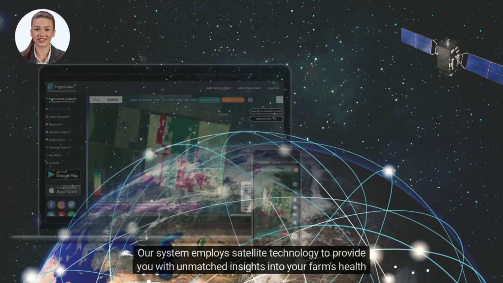
Farmonaut’s satellite-based crop health monitoring system is the answer to the modern farmer’s prayers. This innovative platform harnesses the power of agriculture satellite data to provide unparalleled insights into your farm’s health and performance. Let’s delve into how this system is changing the game for farmers worldwide.
Comprehensive Farm Health Analysis
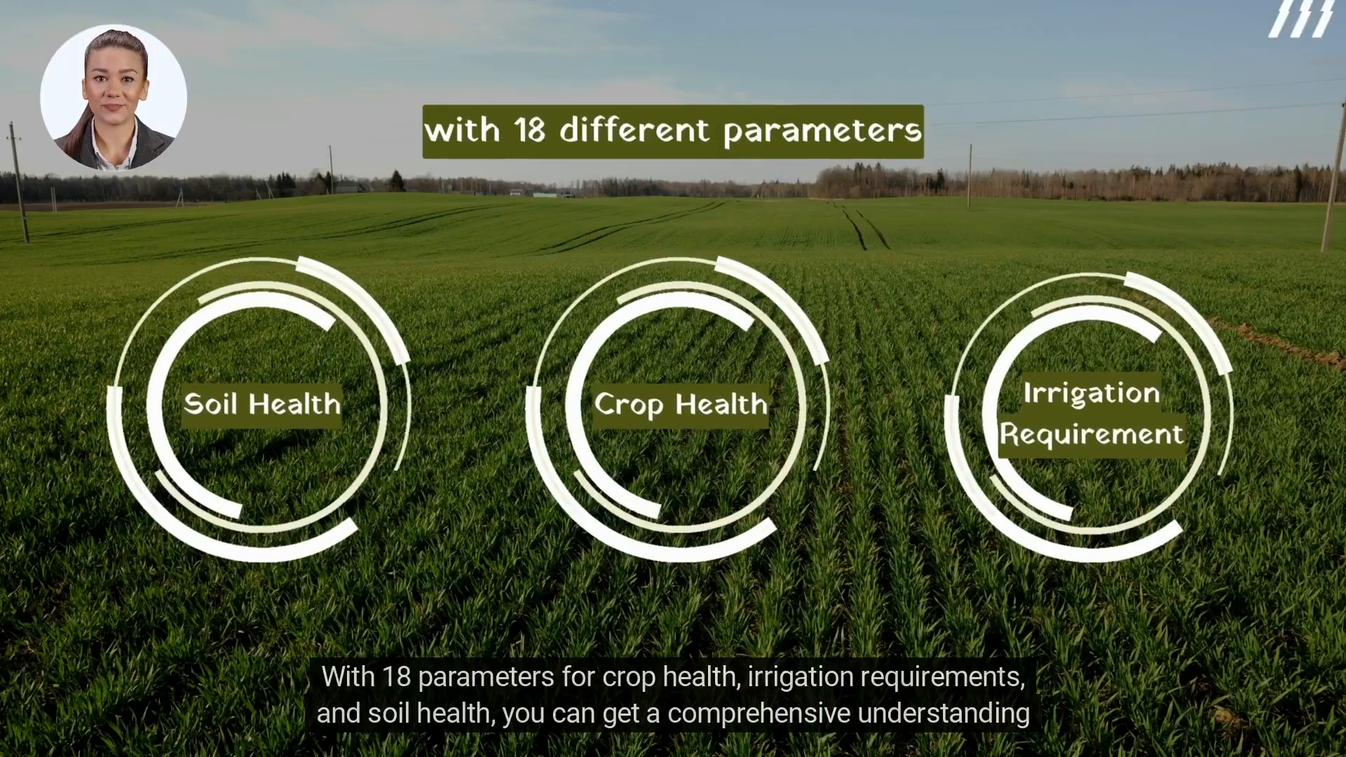
At the heart of Farmonaut’s system lies its ability to offer a holistic view of your farm’s condition. With 18 distinct parameters covering crop health, irrigation requirements, and soil health, you gain a 360-degree understanding of your agricultural ecosystem.

| Crop Health | Irrigation Requirements | Soil Health |
|---|---|---|
| NDVI (Normalized Difference Vegetation Index) | Soil Moisture Content | Organic Matter Content |
| Leaf Area Index | Evapotranspiration Rate | pH Levels |
| Chlorophyll Content | Water Stress Index | Nutrient Availability |
This comprehensive data set enables you to make informed decisions about crop management, resource allocation, and yield optimization. By leveraging agriculture satellite images, you can spot potential issues before they become critical, saving time, resources, and ultimately, your harvest.
Real-Time Monitoring and Instant Updates
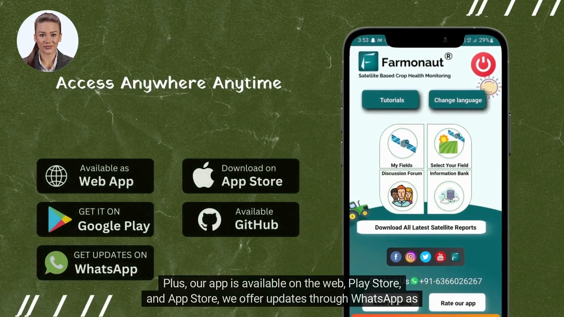
In the fast-paced world of agriculture, timing is everything. Farmonaut’s system excels in providing real-time agriculture monitoring, ensuring you’re always one step ahead. The platform offers updates through various channels, including a web interface, mobile apps on both Play Store and App Store, and even WhatsApp notifications.

This multi-channel approach means you can access crucial farm data and reports anytime, anywhere. Whether you’re in the field, at home, or on the go, you’ll have your finger on the pulse of your farm’s health and performance.
Empowering Decision-Making with Detailed Reports
Knowledge is power, especially in agriculture. Farmonaut doesn’t just provide raw data; it offers downloadable, comprehensive reports that break down your farm’s performance in detail. These reports are invaluable tools for:
- Identifying problem areas quickly
- Tracking crop health trends over time
- Optimizing resource allocation
- Planning future crop rotations
- Maximizing yield potential
By transforming complex agriculture satellite data into actionable insights, Farmonaut empowers you to take corrective actions swiftly and effectively, minimizing potential losses and maximizing productivity.
Breaking Language Barriers in Agricultural Technology
In our globalized world, effective communication is key to successful farm management. Recognizing this, Farmonaut has gone the extra mile to ensure its platform is accessible to farmers worldwide. The app and reports are available in over 50 languages, breaking down language barriers and democratizing access to cutting-edge agricultural technology.

This multilingual approach not only facilitates better understanding and implementation of the insights provided but also fosters a global community of informed, tech-savvy farmers. Whether you’re managing a small family farm in rural India or overseeing large-scale operations in Brazil, Farmonaut speaks your language.
Join the Agriculture Satellite Revolution
The proof is in the pudding, or in this case, in the fields. Farmonaut’s satellite-based crop health monitoring system has already won the trust of leading agribusinesses. Industry giants like ITC, Coromandel International, and Godrej Agrovet have experienced the transformative power of this technology firsthand.
These success stories aren’t just limited to large corporations. Farmers of all scales are reaping the benefits of agriculture satellite monitoring, from increased yields to reduced resource wastage and improved sustainability practices.
Take the First Step Towards Optimized Farming
The future of farming is here, and it’s powered by agriculture satellite technology. By embracing Farmonaut’s innovative platform, you’re not just adopting a new tool; you’re revolutionizing your entire approach to farm management.
Ready to transform your farming practices? Contact Farmonaut today at [email protected] and take the first step towards optimizing your farm’s performance. Join the growing community of farmers who are harnessing the power of agriculture satellite data to cultivate success.
Frequently Asked Questions
What is agriculture satellite monitoring?
Agriculture satellite monitoring uses satellite imagery and data to observe and analyze various aspects of agricultural land and crops. It provides valuable insights into crop health, soil conditions, and irrigation needs, enabling farmers to make informed decisions.
How does real-time agriculture monitoring benefit farmers?
Real-time monitoring allows farmers to respond quickly to changing conditions, detect issues early, and optimize resource use. It helps in timely decision-making, potentially increasing yields and reducing losses.
Can agriculture satellite imagery work for small farms?
Yes, agriculture satellite imagery can be beneficial for farms of all sizes. The technology is scalable and can provide valuable insights whether you’re managing a small plot or vast acreage.
How often is the satellite data updated?
The frequency of updates can vary depending on the specific service and satellites used. Many providers offer updates every few days, while some can provide daily or even more frequent updates.
Is specialized equipment needed to use agriculture satellite data?
Generally, no specialized equipment is needed. Most services, including Farmonaut, provide user-friendly interfaces accessible through standard devices like smartphones, tablets, or computers.
How accurate is agriculture satellite monitoring?
Modern agriculture satellite monitoring can be highly accurate, often capable of detecting variations down to the sub-field level. However, accuracy can depend on factors like satellite resolution and frequency of image capture.
Can agriculture satellite data help with precision farming?
Absolutely. Agriculture satellite data is a cornerstone of precision farming, providing detailed insights that allow for targeted interventions and optimized resource use across different areas of a field.
How does agriculture satellite monitoring contribute to sustainability?
By optimizing resource use and helping farmers make data-driven decisions, agriculture satellite monitoring can lead to more sustainable farming practices, reducing waste and environmental impact while improving crop yields.
Made with VideoToBlog
