Revolutionizing Ontario Farms: How AI-Powered Satellite Imagery Is Transforming Crop Monitoring and Yield Prediction
“AI-powered satellite imagery can analyze over 10,000 acres of farmland in Ontario within minutes, revolutionizing crop monitoring efficiency.“
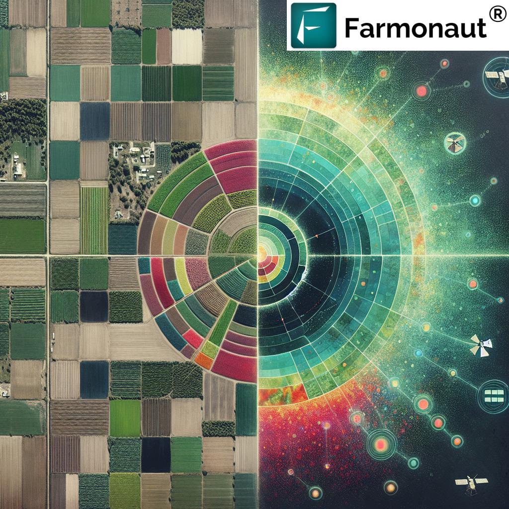
In the heart of Ontario’s agricultural landscape, a quiet revolution is taking place. The fusion of artificial intelligence (AI) and satellite imagery is transforming the way we approach farming, ushering in an era of unprecedented precision and efficiency. At Farmonaut, we’re at the forefront of this agricultural renaissance, harnessing the power of technology to empower farmers and revolutionize crop management practices.
The Dawn of AI in Ontario Agriculture
Ontario’s vast croplands have long been a cornerstone of Canadian agriculture. However, the challenges faced by farmers in this region – from unpredictable weather patterns to resource management – have necessitated a technological leap forward. This is where AI-powered satellite imagery steps in, offering a bird’s-eye view of farmlands with a level of detail and analysis previously unimaginable.

Our journey at Farmonaut began with a simple yet powerful vision: to make precision agriculture accessible to every farmer. By leveraging advanced satellite technology and cutting-edge AI algorithms, we’re turning this vision into reality for Ontario’s agricultural community.
Satellite-Based Crop Monitoring: A Game-Changer for Ontario Farmers
The cornerstone of our technology is satellite-based crop monitoring. This innovative approach allows us to provide real-time insights into crop health, soil moisture levels, and other critical metrics across vast areas of farmland. For Ontario farmers, this means:
- Early Detection of Crop Stress: Our AI algorithms analyze multispectral satellite images to identify signs of crop stress before they’re visible to the naked eye.
- Optimized Resource Allocation: By pinpointing areas that need attention, farmers can allocate resources more efficiently, reducing waste and improving yields.
- Timely Interventions: Real-time monitoring enables farmers to respond quickly to emerging issues, potentially saving entire crops from disease or pest infestations.
The impact of this technology on Ontario’s agricultural landscape is profound. Farmers are now able to make data-driven decisions with unprecedented accuracy, leading to improved crop yields and more sustainable farming practices.
AI-Driven Yield Prediction: Forecasting the Future of Ontario’s Harvests
One of the most exciting applications of AI in agriculture is yield prediction. By analyzing historical data, current crop health indicators, and environmental factors, our AI models can forecast crop yields with remarkable accuracy. This capability is transforming how Ontario farmers plan and manage their operations:
- Informed Decision-Making: Accurate yield predictions allow farmers to make better-informed decisions about planting, harvesting, and market strategies.
- Risk Mitigation: By identifying potential low-yield areas early, farmers can implement targeted interventions to improve outcomes.
- Optimized Resource Planning: Knowing expected yields in advance helps in planning labor, equipment, and storage requirements more efficiently.
Our yield prediction models are continually refined and updated, ensuring that Ontario farmers have access to the most accurate and up-to-date information possible.
Mapping Soil Fertility Zones: Unlocking the Potential of Ontario’s Farmland
“Farmonaut’s precision agriculture technology has improved crop yields by up to 20% for Ontario farmers using satellite-based soil fertility mapping.“
Understanding soil fertility is crucial for optimizing crop production. Our AI-powered satellite imagery takes soil analysis to a new level by creating detailed fertility zone maps. This advanced mapping capability offers Ontario farmers several key benefits:
- Precision Fertilizer Application: By identifying areas with different fertility levels, farmers can apply fertilizers more precisely, reducing costs and environmental impact.
- Improved Crop Rotation Planning: Understanding soil fertility patterns helps in planning more effective crop rotations, enhancing long-term soil health.
- Water Management Optimization: Soil fertility maps can also indicate water retention capabilities, allowing for more efficient irrigation strategies.
This level of precision in soil management is revolutionizing how Ontario farmers approach land use, leading to more sustainable and productive agricultural practices.
Real-Time Crop Health Assessments: The Pulse of Ontario’s Agriculture
Our AI-powered platform provides continuous, real-time assessments of crop health across Ontario’s diverse agricultural regions. This constant monitoring allows for:
- Immediate Problem Detection: Issues like pest infestations or nutrient deficiencies are identified as soon as they emerge.
- Targeted Treatment Strategies: With precise information on problem areas, farmers can implement targeted solutions, reducing the need for broad-spectrum treatments.
- Monitoring Treatment Efficacy: The ongoing assessment allows farmers to track the effectiveness of their interventions in real-time.

This real-time insight is particularly valuable in Ontario’s varied climate, where rapid changes can significantly impact crop health.
GIS Applications in Ontario Farming: Mapping the Future of Agriculture
Geographic Information Systems (GIS) play a crucial role in our approach to precision agriculture. For Ontario farmers, GIS applications offer a wealth of benefits:
- Comprehensive Land Use Planning: GIS tools allow for detailed mapping of farmlands, helping in efficient crop allocation and rotation planning.
- Environmental Impact Assessment: By overlaying various data layers, farmers can assess the environmental impact of their practices and make more sustainable choices.
- Logistics Optimization: GIS helps in planning efficient routes for farm equipment, reducing fuel consumption and operational costs.
Our integration of GIS technology with AI and satellite imagery creates a powerful tool for Ontario farmers to visualize and manage their lands more effectively than ever before.
Drought Detection and Wildfire Risk Assessment: Safeguarding Ontario’s Agricultural Assets
In an era of climate change, the ability to detect drought conditions and assess wildfire risks is crucial for Ontario’s agricultural sector. Our AI-powered satellite imagery provides:
- Early Drought Warnings: By analyzing vegetation health and soil moisture data, we can detect early signs of drought, allowing farmers to implement water conservation measures proactively.
- Wildfire Risk Mapping: Our system assesses vegetation dryness and environmental conditions to create wildfire risk maps, helping farmers and local authorities in preparedness and prevention.
- Long-term Climate Trend Analysis: By tracking these indicators over time, we help Ontario farmers adapt their practices to long-term climate trends.
This proactive approach to environmental challenges is essential for the long-term sustainability of Ontario’s agriculture.
Embracing Regenerative Agriculture in Ontario
At Farmonaut, we’re not just about improving yields; we’re committed to promoting sustainable, regenerative agricultural practices. Our technology supports Ontario farmers in adopting regenerative techniques by:
- Monitoring Soil Health: Our satellite imagery and AI analysis track indicators of soil health over time, helping farmers assess the impact of regenerative practices.
- Biodiversity Mapping: We help identify areas of high biodiversity and track changes, encouraging practices that promote ecological balance.
- Carbon Sequestration Tracking: Our advanced algorithms estimate carbon sequestration in soil and vegetation, supporting farmers in their efforts to combat climate change.
By embracing regenerative agriculture, Ontario farmers are not only improving their land’s productivity but also contributing to global efforts in sustainable farming.
The Power of Data: AI-Powered Agricultural Analysis
The true strength of our platform lies in its ability to analyze vast amounts of agricultural data. For Ontario farmers, this means:
- Personalized Insights: Our AI algorithms process farm-specific data to provide tailored recommendations for each unique agricultural operation.
- Predictive Analytics: By analyzing historical data and current conditions, we offer predictive insights that help farmers stay ahead of potential challenges.
- Continuous Learning: Our AI systems continuously learn from new data, improving their accuracy and relevance over time.
This data-driven approach empowers Ontario farmers to make informed decisions based on comprehensive, up-to-date information.
Optimizing Commodity Production in Ontario
Ontario’s diverse agricultural landscape produces a wide range of commodities. Our AI-powered platform helps optimize production across various crops:
- Crop-Specific Insights: We provide tailored analytics for different crops, from grains to fruits and vegetables, helping farmers maximize the potential of each commodity.
- Market Trend Analysis: By integrating market data with production insights, we help farmers align their production with market demands.
- Supply Chain Optimization: Our technology supports efficient harvesting and distribution planning, crucial for perishable commodities.
This comprehensive approach to commodity production is helping Ontario farmers stay competitive in global markets.
The Future of Farming: AI and Satellite Imagery in Ontario Agriculture
As we look to the future, the integration of AI and satellite imagery in Ontario’s agriculture sector promises even greater advancements:
- Automated Farm Management: We’re moving towards systems that can autonomously manage various aspects of farm operations based on real-time data.
- Enhanced Weather Prediction: Our AI models are continuously improving in their ability to predict micro-climate patterns, crucial for day-to-day farm operations.
- Integration with IoT Devices: The future will see seamless integration between satellite data and on-ground IoT sensors, providing an unprecedented level of farm monitoring and management.
At Farmonaut, we’re committed to being at the forefront of these technological advancements, ensuring that Ontario farmers have access to the most cutting-edge tools and insights.
Comparative Analysis: Traditional vs. AI-Powered Farming in Ontario
| Aspect | Traditional Methods | Farmonaut’s AI-Powered Satellite Imagery |
|---|---|---|
| Crop Monitoring Frequency | Weekly or bi-weekly manual inspections | Daily satellite imagery updates |
| Drought Detection Accuracy | Limited to visible signs | Early detection using multispectral analysis |
| Yield Prediction Timeframe | Estimates made 1-2 months before harvest | Continuous predictions throughout growing season |
| Soil Fertility Mapping Precision | General field-level assessments | Precise zone mapping within fields |
| Wildfire Risk Assessment Capability | Limited to local weather reports | Advanced risk modeling using multiple data points |
| Data Analysis Time | Days to weeks for manual analysis | Real-time analysis and insights |
| Cost-Effectiveness | High labor and resource costs | Reduced operational costs through automation |
| Environmental Impact | Potentially higher due to over-application of inputs | Reduced environmental footprint through precision application |
Embracing the Future of Ontario Agriculture with Farmonaut
As we conclude our exploration of AI-powered satellite imagery in Ontario agriculture, it’s clear that we’re standing at the threshold of a new era in farming. At Farmonaut, we’re proud to be driving this revolution, offering Ontario farmers the tools they need to thrive in an increasingly complex agricultural landscape.
Our commitment to innovation, sustainability, and farmer empowerment remains unwavering. We invite Ontario farmers to join us on this exciting journey towards a more productive, sustainable, and technologically advanced agricultural future.
To experience the power of AI-driven agriculture firsthand, we encourage you to explore our platform:
For developers interested in integrating our cutting-edge technology into their own systems, check out our API and API Developer Docs.
Download our mobile apps to take the power of AI-driven agriculture with you wherever you go:
Farmonaut Subscriptions
Frequently Asked Questions
Q: How accurate is Farmonaut’s yield prediction for Ontario crops?
A: Our AI-powered yield prediction models have shown an accuracy rate of over 90% for major Ontario crops, continuously improving as more data is analyzed.
Q: Can Farmonaut’s technology detect crop diseases specific to Ontario?
A: Yes, our AI algorithms are trained on extensive datasets that include common crop diseases in Ontario, allowing for early detection and identification.
Q: How often is the satellite imagery updated for Ontario farms?
A: We provide daily updates for most areas, with some regions receiving multiple updates per day depending on satellite coverage.
Q: Is Farmonaut’s technology suitable for small-scale farmers in Ontario?
A: Absolutely. Our platform is designed to be scalable and accessible, providing valuable insights for farms of all sizes across Ontario.
Q: How does Farmonaut contribute to sustainable farming practices in Ontario?
A: By optimizing resource use, promoting regenerative practices, and providing precise insights, our technology helps reduce environmental impact while improving productivity.
As we continue to innovate and expand our services, Farmonaut remains committed to empowering Ontario farmers with the most advanced agricultural technology available. Together, we’re not just transforming farms; we’re shaping the future of agriculture in Ontario and beyond.


